Lower Slaughter
Civil Parish in Gloucestershire Cotswold
England
Lower Slaughter
Lower Slaughter is a picturesque village located in the Cotswold district of Gloucestershire, England. It is nestled on the banks of the River Eye and is known for its idyllic charm and traditional Cotswold stone architecture. The village falls under the civil parish of the same name and is part of the Cotswolds Area of Outstanding Natural Beauty.
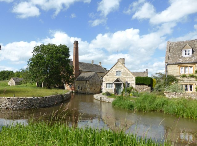
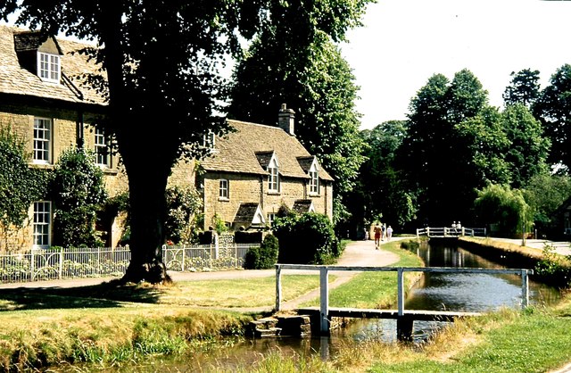
The village is characterized by its quaint and well-preserved honey-colored stone houses, many of which date back to the 17th century. The streets are lined with beautiful flower gardens and the River Eye meanders through the village, creating a tranquil and scenic atmosphere. The famous water mill, which dates back to the 19th century, adds to the village's charm and serves as a reminder of its industrial past.
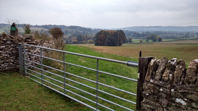
Lower Slaughter is a popular tourist destination, attracting visitors from all over the world who come to admire its picturesque beauty and enjoy its peaceful ambiance. The village offers various amenities for tourists, including charming tea rooms, a village shop, and a luxury hotel. Visitors can also explore the nearby countryside, with plenty of walking and cycling routes that showcase the stunning Cotswold landscape.
Despite its popularity, Lower Slaughter remains a close-knit community with a small population. It has a strong sense of community spirit and hosts various events throughout the year, such as the annual village fete and the Christmas market. The village also boasts a highly-regarded primary school, making it an attractive place for families.
In summary, Lower Slaughter is a charming and picturesque village in Gloucestershire, known for its traditional Cotswold architecture, scenic river, and peaceful ambiance. It offers visitors a glimpse into the quintessential English countryside and provides a warm and welcoming community for its residents.
If you have any feedback on the listing, please let us know in the comments section below.
Lower Slaughter Images
Images are sourced within 2km of 51.89916/-1.761469 or Grid Reference SP1622. Thanks to Geograph Open Source API. All images are credited.


Lower Slaughter is located at Grid Ref: SP1622 (Lat: 51.89916, Lng: -1.761469)
Administrative County: Gloucestershire
District: Cotswold
Police Authority: Gloucestershire
What 3 Words
///noting.alarm.truckload. Near Bourton on the Water, Gloucestershire
Nearby Locations
Related Wikis

Bourton-on-the-Water railway station
Bourton-on-the-Water railway station was a Gloucestershire railway station on the Great Western Railway's Banbury and Cheltenham Direct Railway which opened...

The Cotswold School
The Cotswold School is an 11 to 18 academy school located in Bourton-on-the-Water, Gloucestershire, Great Britain. The school achieved academy status in...

Upper Slaughter
Upper Slaughter is a village in the Cotswold district of Gloucestershire, England, 4 miles (6.4 km) south west of Stow-on-the-Wold. The village lies off...

Lower Slaughter
Lower Slaughter is a village in the Cotswold district of Gloucestershire, England, 4 miles (6.4 km) south west of Stow-on-the-Wold. The village is built...
Bourton-on-the-Water
Bourton-on-the-Water is a village and civil parish in Gloucestershire, England, that lies on a wide flat vale within the Cotswolds Area of Outstanding...
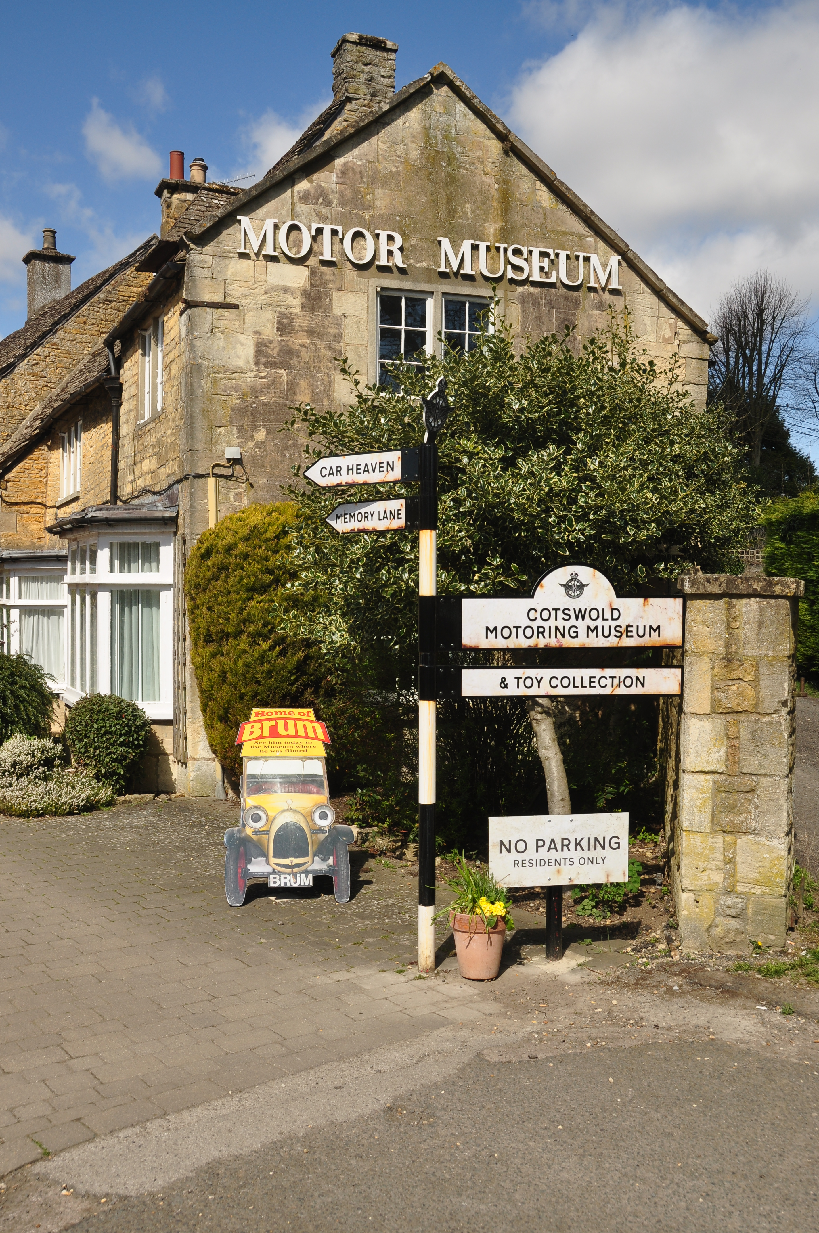
Cotswold Motoring Museum
The Cotswold Motoring Museum is a museum in the Cotswolds village of Bourton-on-the-Water, Gloucestershire, England. It features motoring history of the...
Salmonsbury Meadows SSSI
Salmonsbury Meadows (grid reference SP178213) is an 18-hectare (44-acre) biological and geological Site of Special Scientific Interest in Gloucestershire...
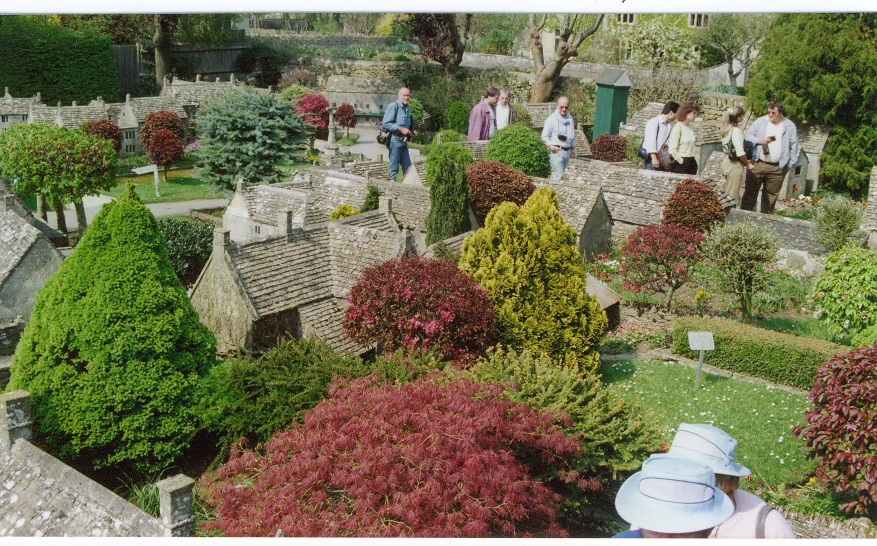
Bourton-on-the-Water model village
Bourton-on-the-Water model village is a scale model village in the grounds of the Old New Inn in Bourton-on-the-Water, Gloucestershire, England. One of...
Nearby Amenities
Located within 500m of 51.89916,-1.761469Have you been to Lower Slaughter?
Leave your review of Lower Slaughter below (or comments, questions and feedback).