Lowesby
Civil Parish in Leicestershire Harborough
England
Lowesby
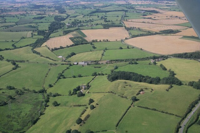
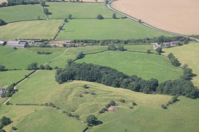
Lowesby is a civil parish located in the county of Leicestershire, in the East Midlands region of England. It is situated approximately 10 miles east of Leicester, the county town. The parish covers an area of around 2 square miles and has a population of around 200 people.
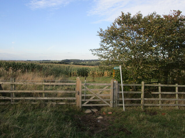
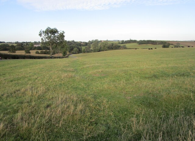
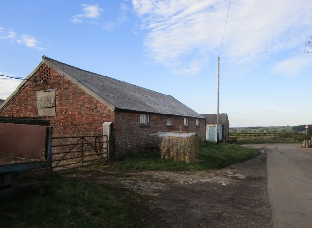
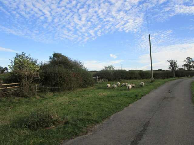
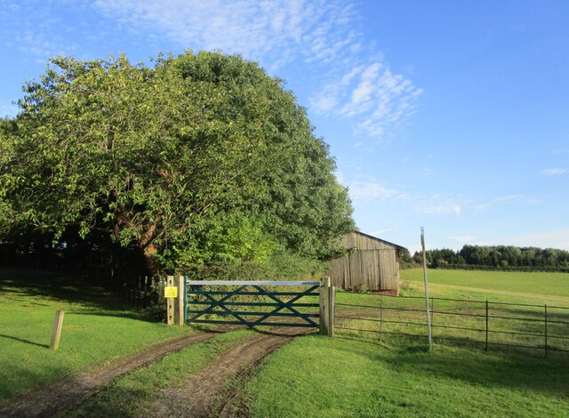
The village of Lowesby is a picturesque and rural settlement, surrounded by beautiful countryside and farmland. It is characterized by its charming thatched cottages, historic buildings, and a sense of tranquility that is often associated with traditional English villages.
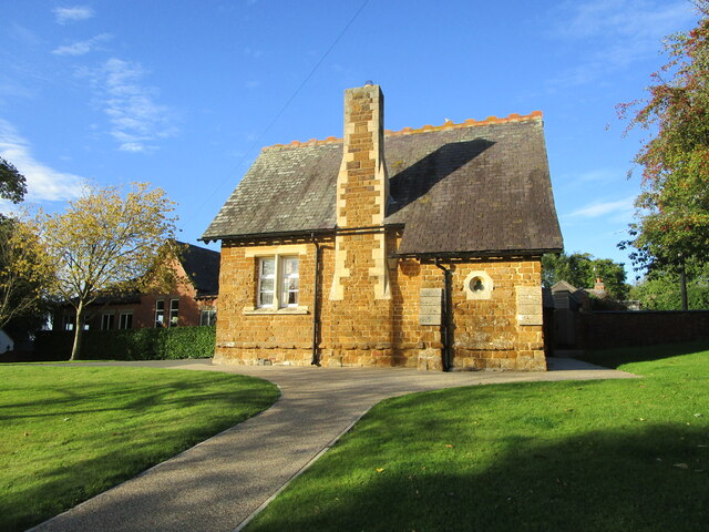
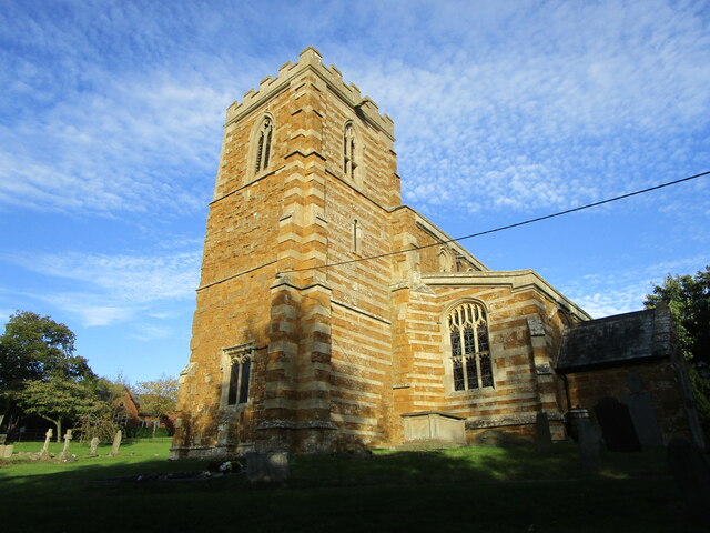
The centerpiece of Lowesby is the St. Peter's Church, a Grade I listed building dating back to the 13th century. The church is known for its unique Norman architecture and is a significant historical and architectural landmark in the area. The village also has a village hall, which serves as a community hub for various events and activities.
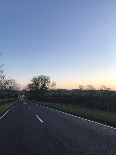
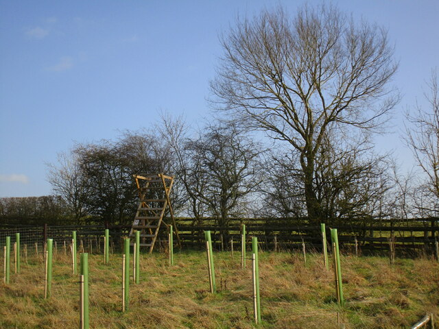
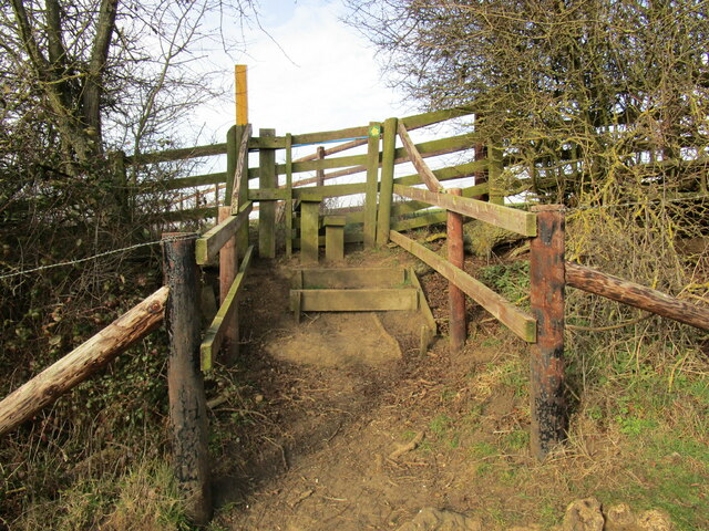
Lowesby is located within close proximity to several other attractive villages in the area, such as Tilton on the Hill and Billesdon. The surrounding countryside offers numerous opportunities for outdoor activities, including walking, cycling, and horse riding. There are also several nature reserves and parks nearby, providing ample opportunities for nature enthusiasts to explore and enjoy the local flora and fauna.
Overall, Lowesby is a charming and idyllic village, perfect for those seeking a peaceful and rural lifestyle. Its rich history, beautiful surroundings, and close-knit community make it an attractive place to live or visit in Leicestershire.
If you have any feedback on the listing, please let us know in the comments section below.
Lowesby Images
Images are sourced within 2km of 52.665423/-0.928171 or Grid Reference SK7208. Thanks to Geograph Open Source API. All images are credited.


Lowesby is located at Grid Ref: SK7208 (Lat: 52.665423, Lng: -0.928171)
Administrative County: Leicestershire
District: Harborough
Police Authority: Leicestershire
What 3 Words
///symphony.cute.highly. Near Houghton on the Hill, Leicestershire
Nearby Locations
Related Wikis
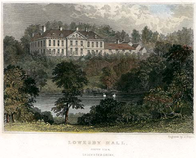
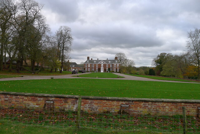
Lowesby Hall
Lowesby Hall is a large Grade II* Georgian mansion in the parish and former manor of Lowesby, eight miles east of Leicester in Leicestershire. It is a...

Lowesby
Lowesby is a small parish and township situated in the district of Harborough in Leicestershire. It is 8 miles east of the county capital, Leicester, and...

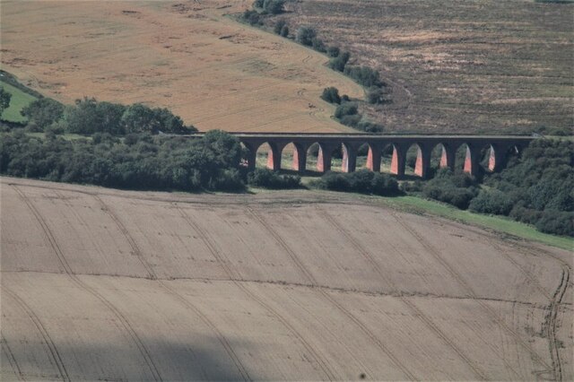
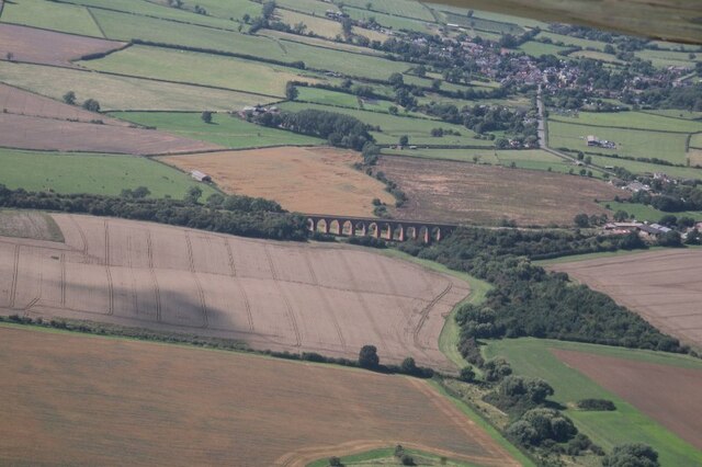
Lowesby railway station
Lowesby railway station (originally Loseby) was a railway station serving the villages of Lowesby and Tilton on the Hill, Leicestershire, England on the...

Marefield Junction
Marefield Junction was a railway junction in Marefield, Leicestershire, England. Railway lines from the triangular junction ran westwards to Leicester...
Nearby Amenities
Located within 500m of 52.665423,-0.928171Have you been to Lowesby?
Leave your review of Lowesby below (or comments, questions and feedback).