Jones's Wood
Wood, Forest in Cheshire
England
Jones's Wood
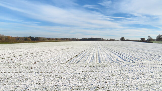
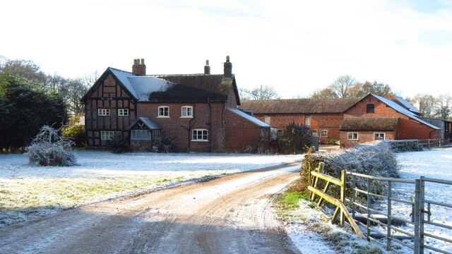
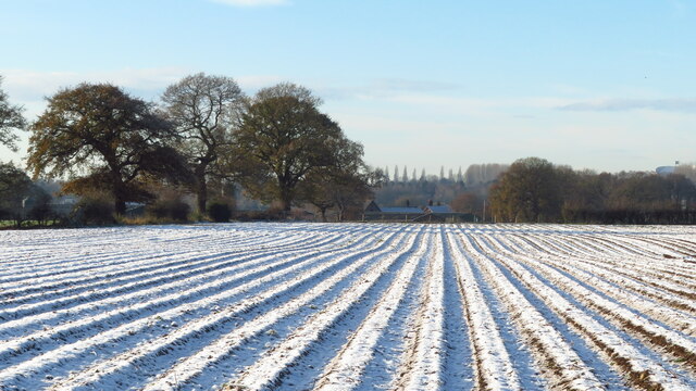
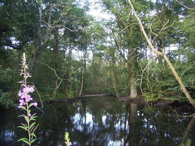
Jones's Wood is a picturesque woodland located in Cheshire, England. This enchanting forest spans over a vast area, making it an ideal destination for nature lovers and outdoor enthusiasts. The wood is known for its dense foliage, towering trees, and diverse range of flora and fauna.
One of the defining features of Jones's Wood is its well-maintained trails that wind through the forest, offering visitors the opportunity to explore its natural beauty. These trails are perfect for hiking, jogging, or simply taking a leisurely stroll amidst the peaceful surroundings. Along the way, visitors can admire the vibrant colors of the seasonal wildflowers and listen to the soothing sounds of birds chirping.
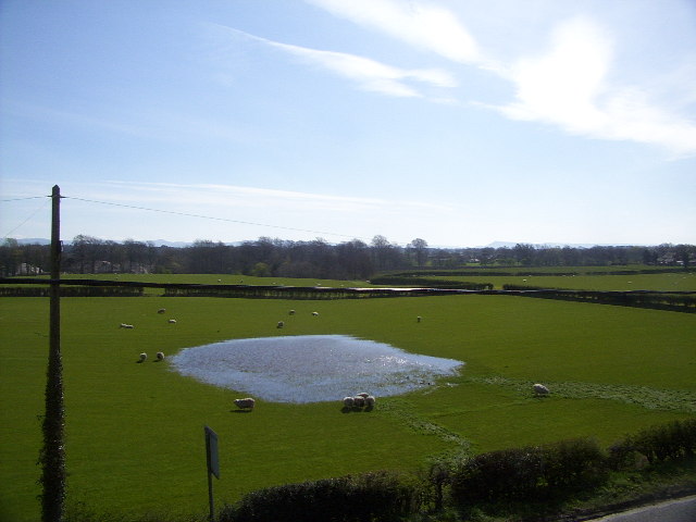
The wood is home to an array of wildlife species, including deer, squirrels, and a variety of bird species. Nature enthusiasts can often spot these animals in their natural habitat, adding to the charm of the wood. Additionally, the wood is dotted with several ponds and streams, providing a habitat for various aquatic creatures.
Jones's Wood is not only a haven for wildlife but also serves as an important conservation area. The wood is meticulously managed by local authorities to ensure the preservation of its natural ecosystem. This includes regular tree maintenance, controlling invasive species, and creating a safe and sustainable environment for both plants and animals.
Overall, Jones's Wood offers a peaceful retreat from the hustle and bustle of city life. Its stunning natural beauty, diverse wildlife, and well-kept trails make it a must-visit destination for those seeking solace in the heart of nature.
If you have any feedback on the listing, please let us know in the comments section below.
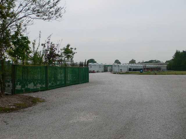
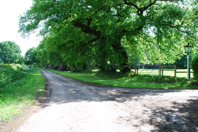
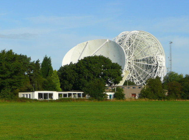
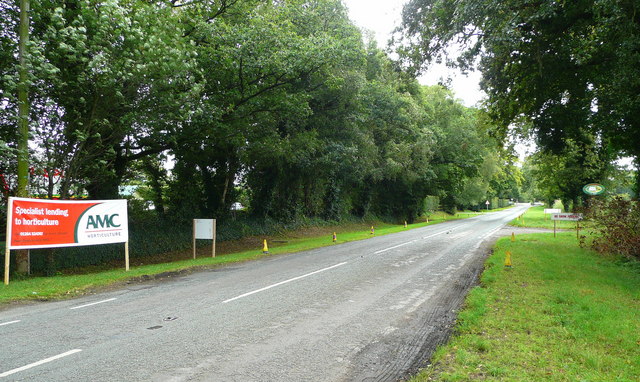
Jones's Wood Images
Images are sourced within 2km of 53.228007/-2.2806147 or Grid Reference SJ8170. Thanks to Geograph Open Source API. All images are credited.


Jones's Wood is located at Grid Ref: SJ8170 (Lat: 53.228007, Lng: -2.2806147)
Unitary Authority: Cheshire East
Police Authority: Cheshire
What 3 Words
///existence.cabinet.grabs. Near Siddington, Cheshire
Nearby Locations
Related Wikis

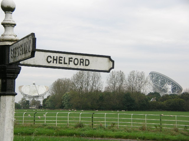
Lower Withington
Lower Withington is a civil parish and village in Cheshire, England. At the 2001 census, it had a population of 492. Jodrell Bank Observatory lies mostly...

Mark II (radio telescope)
The Mark II is a radio telescope located at Jodrell Bank Observatory, near Goostrey, Cheshire, in the north-west of England. It was built on the site of...

Jodrell Hall
Jodrell Hall is a country house near Jodrell Bank in the parish of Twemlow, in the county of Cheshire, England. Requisitioned during World War II, the...
Terra Nova School
Terra Nova School is a prep school in Cheshire, England for children from two and a half to thirteen years of age. It began as a school for boys in 1897...
Nearby Amenities
Located within 500m of 53.228007,-2.2806147Have you been to Jones's Wood?
Leave your review of Jones's Wood below (or comments, questions and feedback).