Nut Wood
Wood, Forest in Cheshire
England
Nut Wood
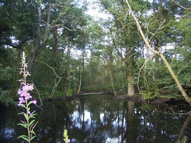
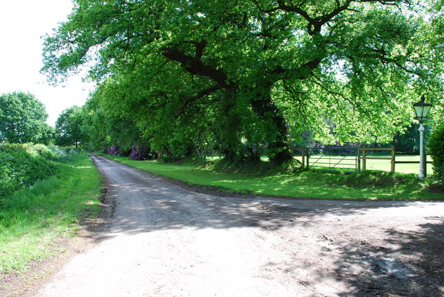
Nut Wood is a picturesque woodland located in Cheshire, England. Spanning an area of approximately 100 acres, this enchanting forest is known for its rich biodiversity and stunning natural beauty. Nestled amidst rolling hills and meandering streams, Nut Wood offers a tranquil escape from the hustle and bustle of city life.
The woodland is primarily composed of mixed deciduous trees, including oak, beech, and birch, creating a diverse and vibrant canopy. These majestic trees provide a habitat for an array of wildlife, making Nut Wood a haven for nature enthusiasts and birdwatchers. Visitors may catch glimpses of roe deer, foxes, and a variety of bird species, such as woodpeckers and owls, as they explore the forest trails.
Nut Wood is also renowned for its seasonal displays of wildflowers, carpeting the forest floor with bursts of color. In spring, bluebells, primroses, and daffodils paint the landscape, while in autumn, the vibrant hues of fallen leaves create a captivating spectacle.
Numerous walking trails wind their way through the wood, offering visitors the opportunity to immerse themselves in its natural wonders. These well-maintained paths cater to all levels of fitness, providing options for leisurely strolls or more challenging hikes. Picnic areas dotted throughout the woodland allow visitors to pause and appreciate the serenity of their surroundings.
Managed by a local conservation organization, Nut Wood is dedicated to preserving its ecological integrity and promoting environmental education. Regular events and workshops are held to engage the community in the importance of sustainable practices and the protection of this precious natural resource.
For those seeking solace in nature or a chance to explore a diverse ecosystem, Nut Wood in Cheshire offers an immersive and captivating experience.
If you have any feedback on the listing, please let us know in the comments section below.
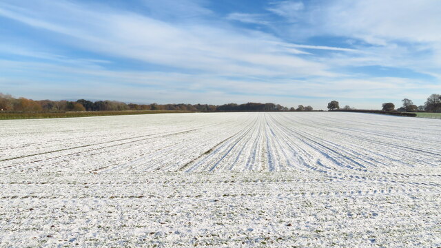
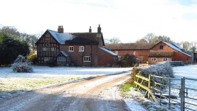
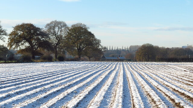
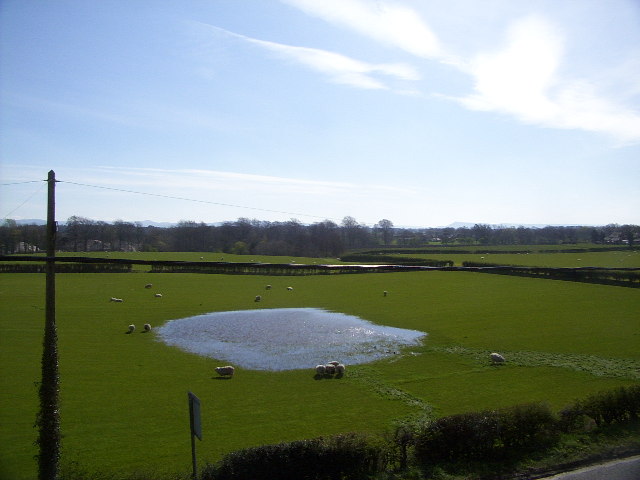
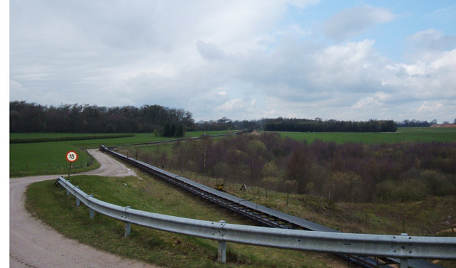
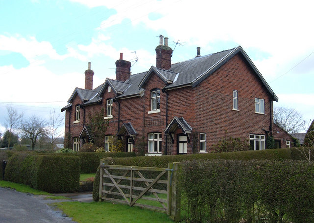
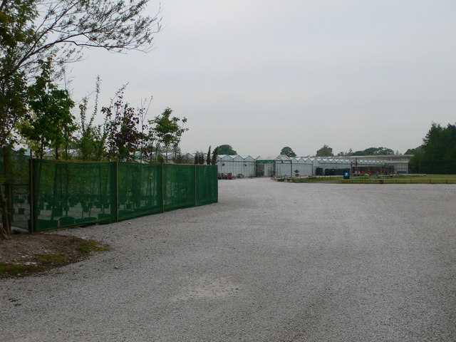
Nut Wood Images
Images are sourced within 2km of 53.232756/-2.2832525 or Grid Reference SJ8170. Thanks to Geograph Open Source API. All images are credited.


Nut Wood is located at Grid Ref: SJ8170 (Lat: 53.232756, Lng: -2.2832525)
Unitary Authority: Cheshire East
Police Authority: Cheshire
What 3 Words
///estimated.giant.attic. Near Siddington, Cheshire
Nearby Locations
Related Wikis

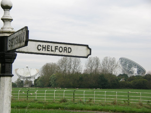
Lower Withington
Lower Withington is a civil parish and village in Cheshire, England. At the 2001 census, it had a population of 492. Jodrell Bank Observatory lies mostly...
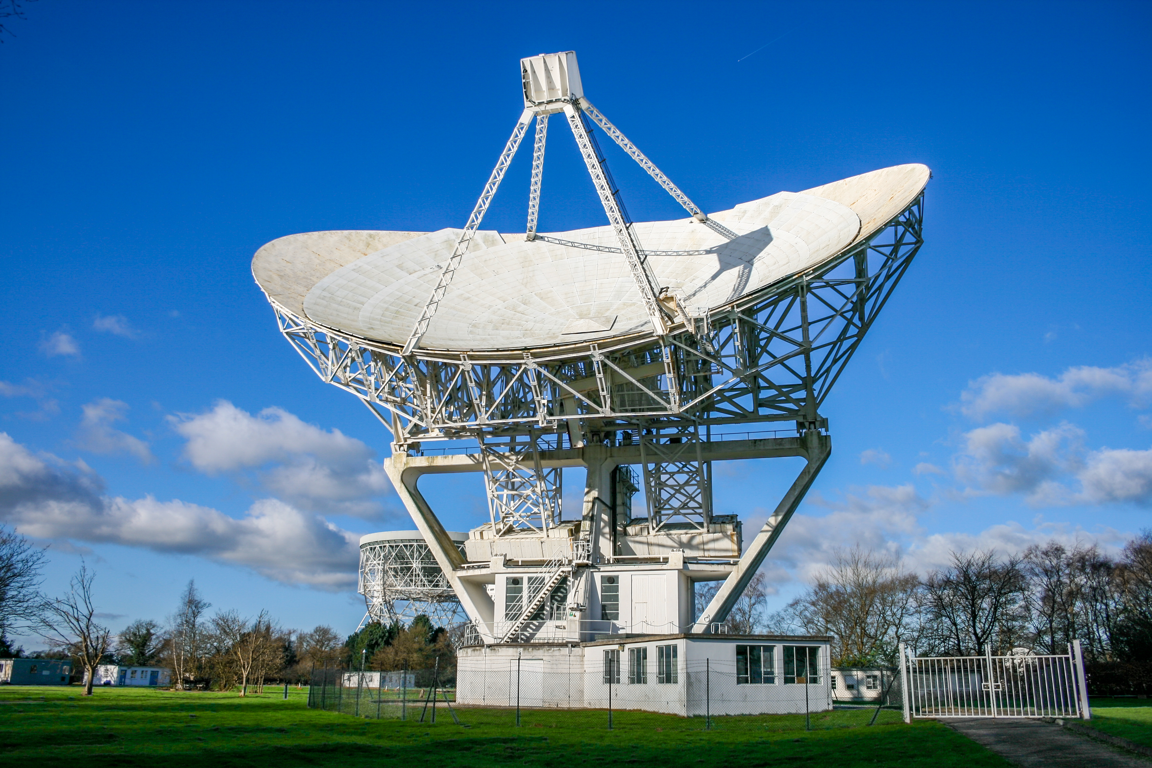
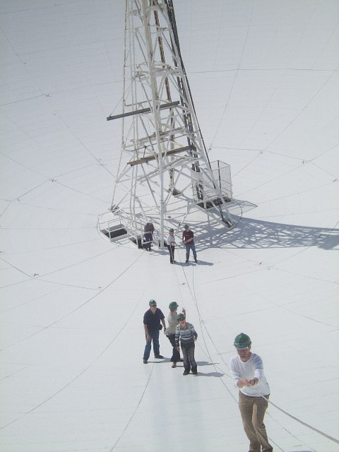
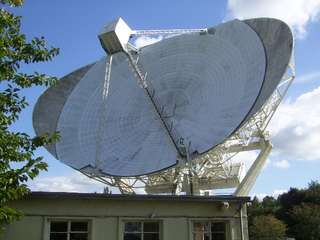
Mark II (radio telescope)
The Mark II is a radio telescope located at Jodrell Bank Observatory, near Goostrey, Cheshire, in the north-west of England. It was built on the site of...

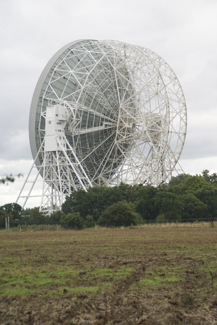
Jodrell Bank Observatory
Jodrell Bank Observatory ( JOD-rəl) in Cheshire, England, hosts a number of radio telescopes as part of the Jodrell Bank Centre for Astrophysics at the...

Terra Nova School
Terra Nova School is a prep school in Cheshire, England for children from two and a half to thirteen years of age. It began as a school for boys in 1897...
Nearby Amenities
Located within 500m of 53.232756,-2.2832525Have you been to Nut Wood?
Leave your review of Nut Wood below (or comments, questions and feedback).