Smiths Green

Settlement in Cheshire

England

Smiths Green

Bate Mill, Withington Green
Bate Mill, Withington Green Credit: Colin Park

Smiths Green is a small village located in the county of Cheshire, in the northwest of England. Situated just south of the larger town of Warrington, Smiths Green is part of the civil parish of Appleton Thorn. The village is surrounded by picturesque countryside, offering residents and visitors a peaceful and scenic environment.

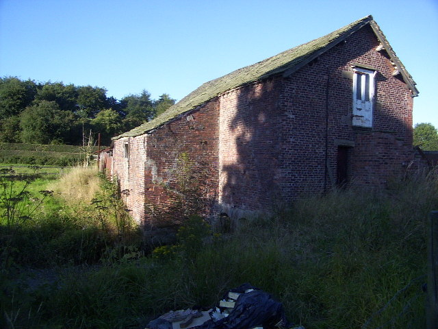
Smiths Green is known for its charming rural character, with a mix of traditional cottages and newer residential developments. The village retains a strong sense of community, with a friendly and welcoming atmosphere. The local residents take pride in maintaining the village's appearance, with well-kept gardens and tidy streets.

Although small, Smiths Green benefits from several amenities and services. The nearby village of Appleton Thorn provides access to a range of shops, including convenience stores and local businesses. For more extensive shopping needs, the bustling town of Warrington is just a short drive away.

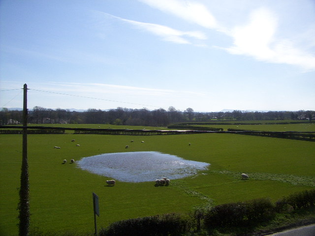
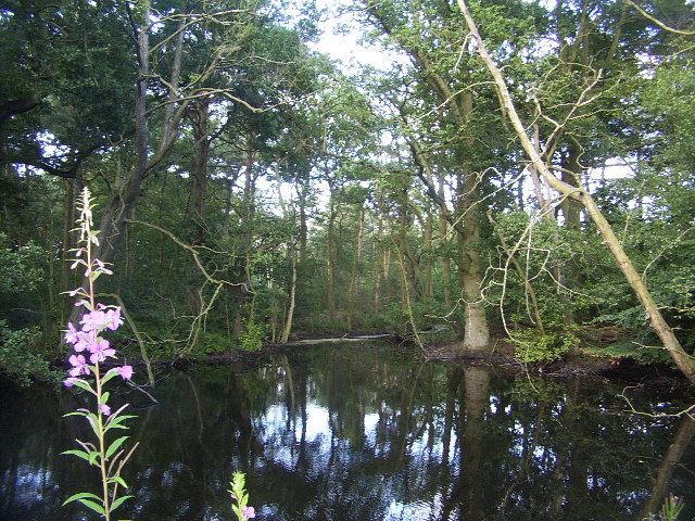
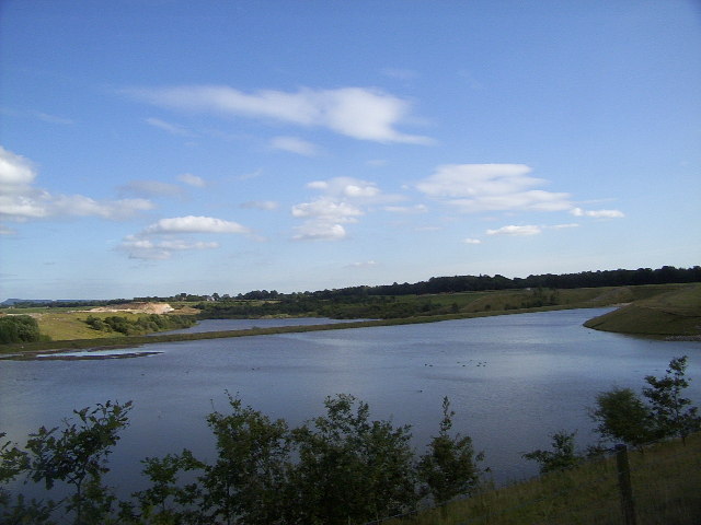
Nature enthusiasts will appreciate the abundance of green spaces surrounding Smiths Green. The area offers numerous walking and cycling routes, allowing residents to explore the beautiful Cheshire countryside. The village is also close to the popular Appleton Reservoir, which provides opportunities for fishing and bird-watching.

Smiths Green benefits from its proximity to major transportation routes. The M56 motorway is easily accessible, connecting the village to nearby cities such as Manchester and Liverpool. Additionally, the village has good public transport links, with regular bus services operating to surrounding areas.

Overall, Smiths Green is a peaceful and idyllic village, offering residents a rural lifestyle while still being conveniently close to larger towns and cities.

If you have any feedback on the listing, please let us know in the comments section below.
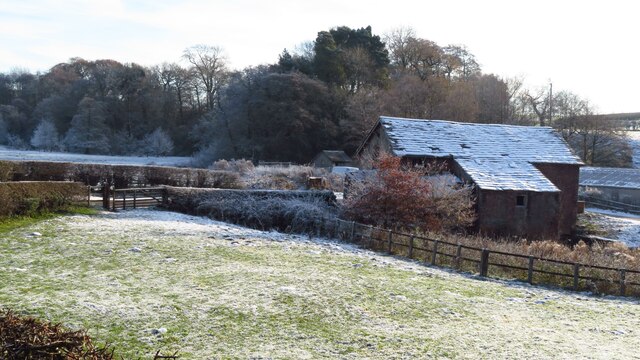
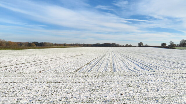
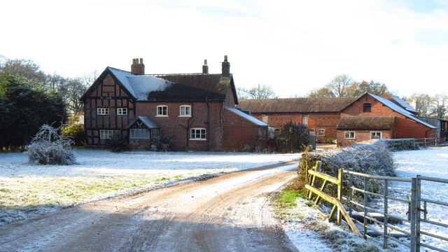
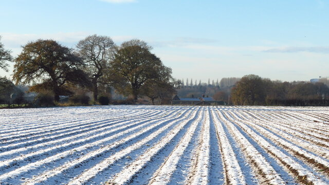
Smiths Green Images

Images are sourced within 2km of 53.234691/-2.284177 or Grid Reference SJ8170. Thanks to Geograph Open Source API. All images are credited.

Bate Mill, Withington Green
Road through Bate Mill, Withington Green
Snowy field at Smiths Green, Lower Withington
Smith's Green Farmhouse, Lower Withington Building is dated 1658.
Smith's Green Farmhouse, Lower Withington
Building is dated 1658.
Furrows in snowy field east of Smith's Green Farmhouse, Lower Withington
Jodrell Bank Radio Telescope Standing in front of the visitors centre looking west at the radio telescope. If you visit don't miss  the arboretum; it's beautifully landscaped and a place of complete tranquillity.
Jodrell Bank Radio Telescope
Standing in front of the visitors centre looking west at the radio telescope. If you visit don't miss the arboretum; it's beautifully landscaped and a place of complete tranquillity.
Looking out towards the Peak District Grassy, sheep filled fields dominate this area, here looking east from the A535 toward the Peak District. Dingle Bank Quarry (sand) can be seen on the left among the trees.
Looking out towards the Peak District
Grassy, sheep filled fields dominate this area, here looking east from the A535 toward the Peak District. Dingle Bank Quarry (sand) can be seen on the left among the trees.
Pond at Woodcroft Gardens A short walk leaving from Whitecroft Heath Road winds through these beautiful, if somewhat insect-ridden ponds.
Pond at Woodcroft Gardens
A short walk leaving from Whitecroft Heath Road winds through these beautiful, if somewhat insect-ridden ponds.
Lakes at Dingle Bank Quarry Lakes from old quarry workings at Dingle Bank Quarry. Taken from Colt Hovel Wood, looking south-east.
Lakes at Dingle Bank Quarry
Lakes from old quarry workings at Dingle Bank Quarry. Taken from Colt Hovel Wood, looking south-east.
Bate Mill This now-disused mill lies on Dingle Brook.
Bate Mill
This now-disused mill lies on Dingle Brook.
Inside the Dish A rare view of the inside of the 76m Lovell Telescope at Jodrell Bank, taken from the telescope rim. Radio waves are reflected from the surface and focussed into the focus box at the top of the scaffolding visible here.
Inside the Dish
A rare view of the inside of the 76m Lovell Telescope at Jodrell Bank, taken from the telescope rim. Radio waves are reflected from the surface and focussed into the focus box at the top of the scaffolding visible here.
The Mark II Telescope The 25 x 28 metre "Mark II" telescope at Jodrell Bank. Despite its odd shape, representing something of a giant, deformed Pringle, the Mark II is routinely used either as a single telescope, or as part of the MERLIN or VLBI collaborations, which use telescopes over middle England (for MERLIN) or the entire globe (for VLBI) to get very high-resolution radio images of the cosmos.
The Mark II Telescope
The 25 x 28 metre "Mark II" telescope at Jodrell Bank. Despite its odd shape, representing something of a giant, deformed Pringle, the Mark II is routinely used either as a single telescope, or as part of the MERLIN or VLBI collaborations, which use telescopes over middle England (for MERLIN) or the entire globe (for VLBI) to get very high-resolution radio images of the cosmos.
Viaduct over the Peover Eye This (fairly) tall railway viaduct over the Peover Eye (a local river) can be seen from Batemill Lane, a quiet country lane that winds its way through the square.
Viaduct over the Peover Eye
This (fairly) tall railway viaduct over the Peover Eye (a local river) can be seen from Batemill Lane, a quiet country lane that winds its way through the square.
Jodrell Bank Radio Telescope A frosty February morning. I was just passing.
Jodrell Bank Radio Telescope
A frosty February morning. I was just passing.
Jodrell Bank radio telescope dish
Local Roadsign with Jodrell Bank backdrop From nearby local road
Local Roadsign with Jodrell Bank backdrop
From nearby local road
Granada Arboretum and Jodrell Bank Radio Telescope
Dingle Bank Sand Quarry Situated south of Chelford, here we see a conveyor (marked on the OS 1/50,000 map) leading into the distance from just north of Oakwood Farm to the works at SJ811717. It appears that part of the quarry has already been reclaimed. The quarry isn't marked on the 1940s OS map.
Dingle Bank Sand Quarry
Situated south of Chelford, here we see a conveyor (marked on the OS 1/50,000 map) leading into the distance from just north of Oakwood Farm to the works at SJ811717. It appears that part of the quarry has already been reclaimed. The quarry isn't marked on the 1940s OS map.
Show me another place!

Smiths Green is located at Grid Ref: SJ8170 (Lat: 53.234691, Lng: -2.284177)

Unitary Authority: Cheshire East

Police Authority: Cheshire

What 3 Words

///cuddled.winter.cherry. Near Siddington, Cheshire

Related Wikis

Lower Withington

Lower Withington is a civil parish and village in Cheshire, England. At the 2001 census, it had a population of 492. Jodrell Bank Observatory lies mostly...

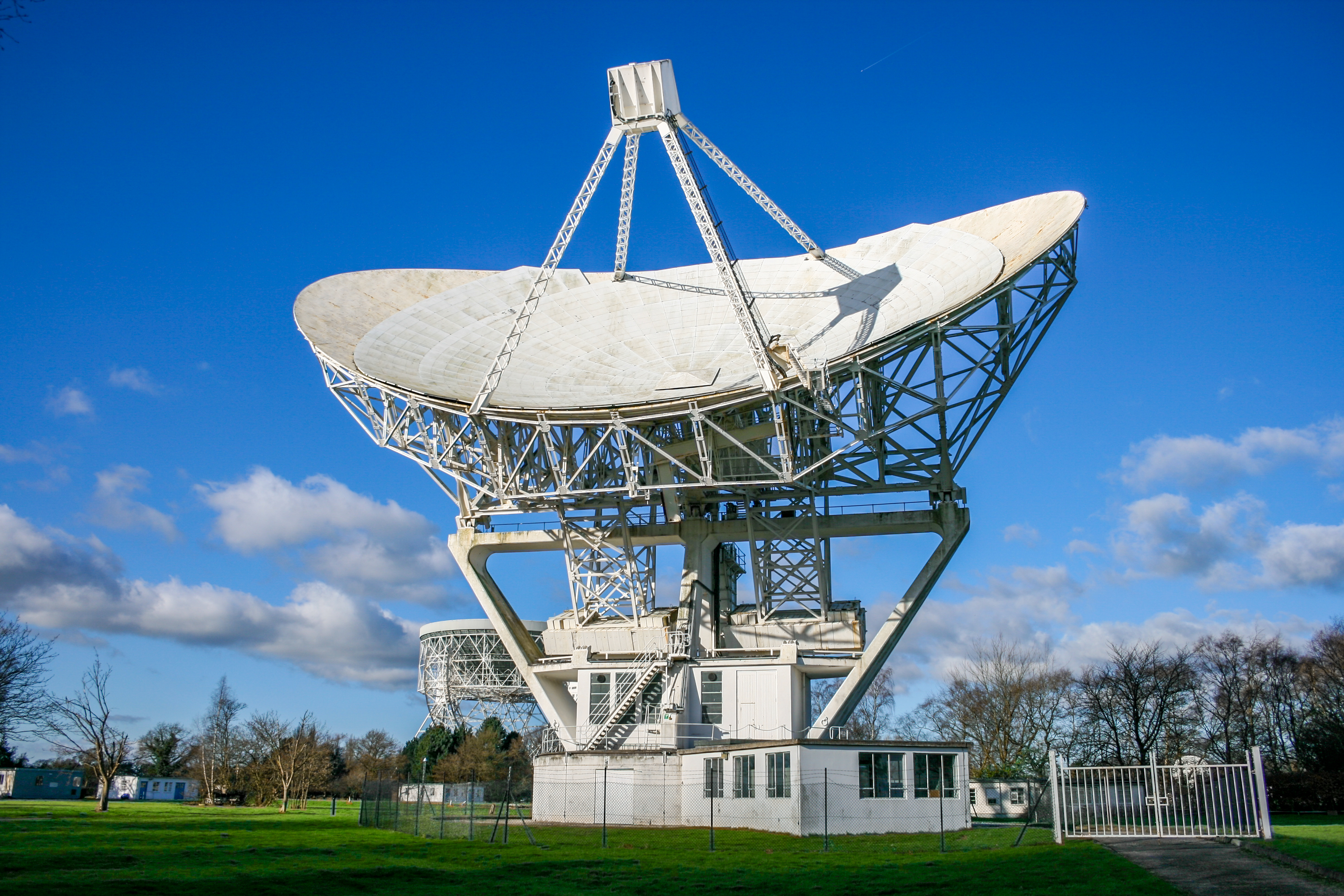
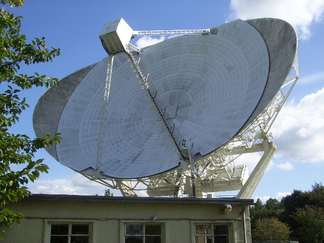
Mark II (radio telescope)

The Mark II is a radio telescope located at Jodrell Bank Observatory, near Goostrey, Cheshire, in the north-west of England. It was built on the site of...

Jodrell Bank Observatory

Jodrell Bank Observatory ( JOD-rəl) in Cheshire, England, hosts a number of radio telescopes as part of the Jodrell Bank Centre for Astrophysics at the...
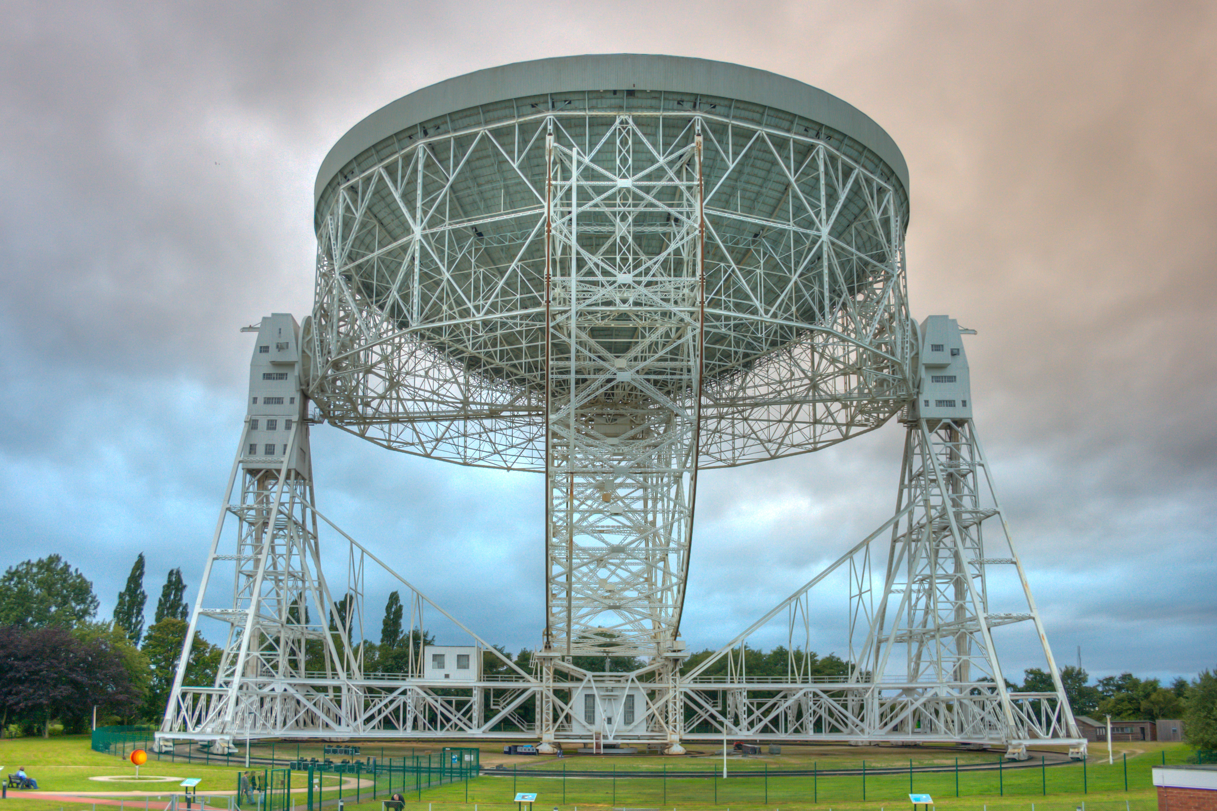
Lovell Telescope

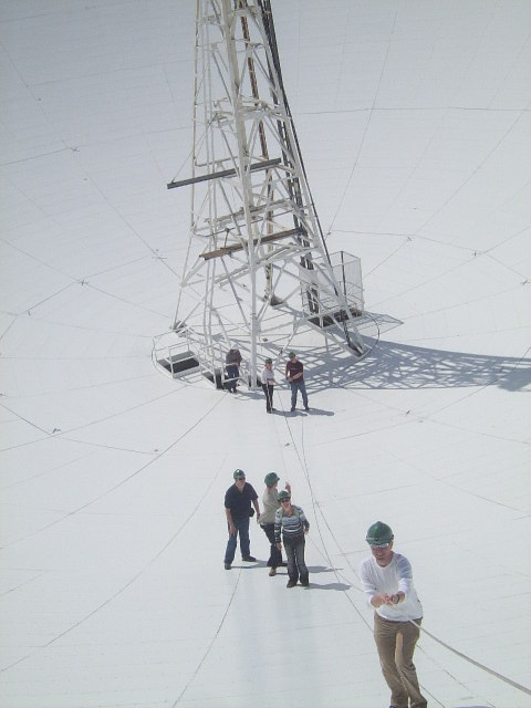
The Lovell Telescope ( LUV-əl) is a radio telescope at Jodrell Bank Observatory, near Goostrey, Cheshire, in the north-west of England. When construction...

Terra Nova School

Terra Nova School is a prep school in Cheshire, England for children from two and a half to thirteen years of age. It began as a school for boys in 1897...

Jodrell Hall

Jodrell Hall is a country house near Jodrell Bank in the parish of Twemlow, in the county of Cheshire, England. Requisitioned during World War II, the...

Blackden Hall

Blackden Hall is a country house to the northeast of the village of Goostrey, Cheshire, England. It dates from the later part of the 16th century, and...
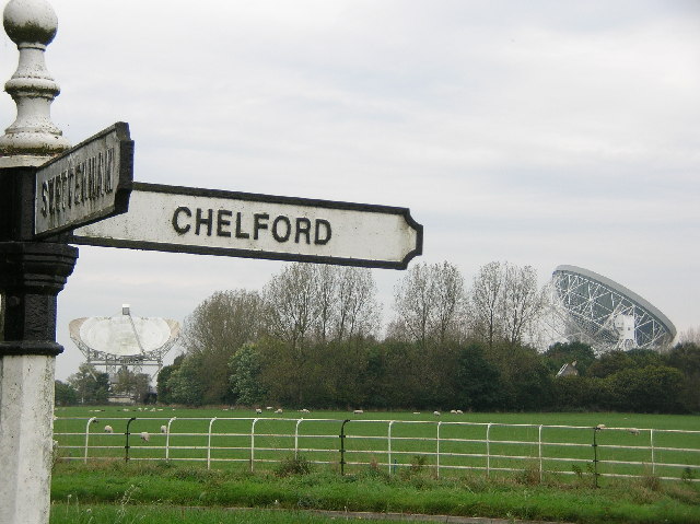
Astle Park

Astle Park is an area of land in the countryside a mile or so south of Chelford in Cheshire in England, on the west side of the A535 road (Holmes Chapel...

Nearby Amenities

Located within 500m of 53.234691,-2.284177
Barrier: kissing_gate
Lat/Long: 53.2385772/-2.2845502
Barrier: stile
Lat/Long: 53.2371263/-2.2853508
Barrier: kissing_gate
Lat/Long: 53.2345535/-2.285605
Barrier: stile
Lat/Long: 53.2347467/-2.2804558
Barrier: kissing_gate
Lat/Long: 53.2382312/-2.2848183
The data included in this document is from www.openstreetmap.org. The data is made available under ODbL.

Have you been to Smiths Green?

Leave your review of Smiths Green below (or comments, questions and feedback).