Dog Hole Wood
Wood, Forest in Cheshire
England
Dog Hole Wood
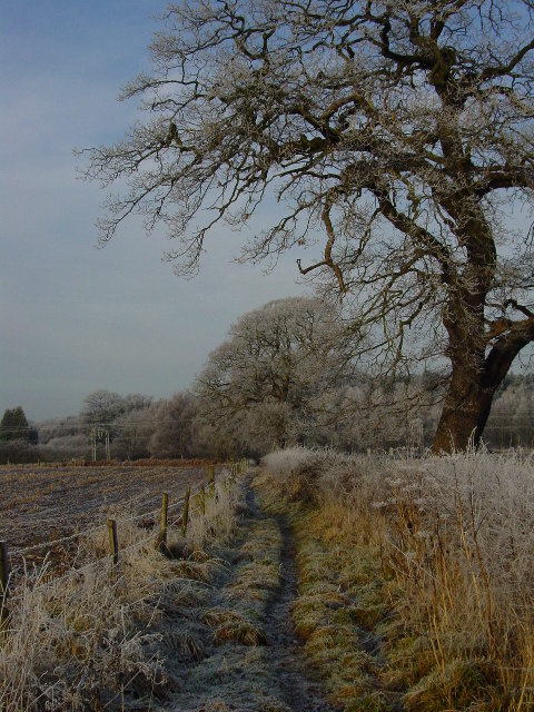
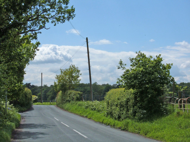
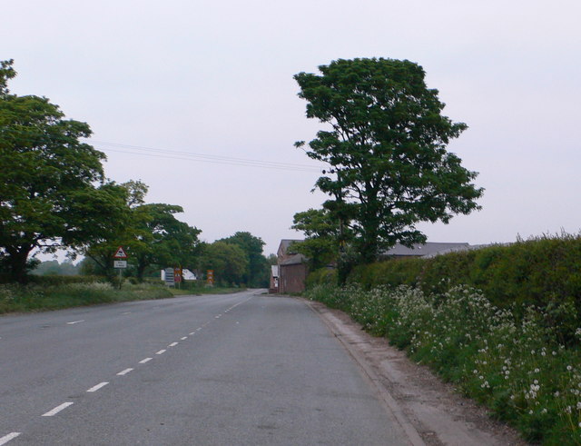
Dog Hole Wood is a picturesque woodland located in the county of Cheshire, England. Covering an area of approximately 30 hectares, this ancient forest is nestled within the rolling countryside, offering visitors a serene and tranquil escape from the hustle and bustle of everyday life.
The wood is named after a small cave, known as Dog Hole, which is believed to have been used by hunters in the past to shelter their hunting dogs. This historical connection adds to the charm and intrigue of the woodland, drawing in nature enthusiasts and history buffs alike.
The wood boasts a diverse range of flora and fauna, making it a haven for wildlife. Ancient oak and beech trees dominate the landscape, their towering canopies providing a lush green canopy that filters sunlight onto the forest floor. Bluebells carpet the ground in spring, painting the woodland in a sea of vibrant blue hues. The woodland is also home to a variety of bird species, including woodpeckers, owls, and songbirds, filling the air with their melodious tunes.
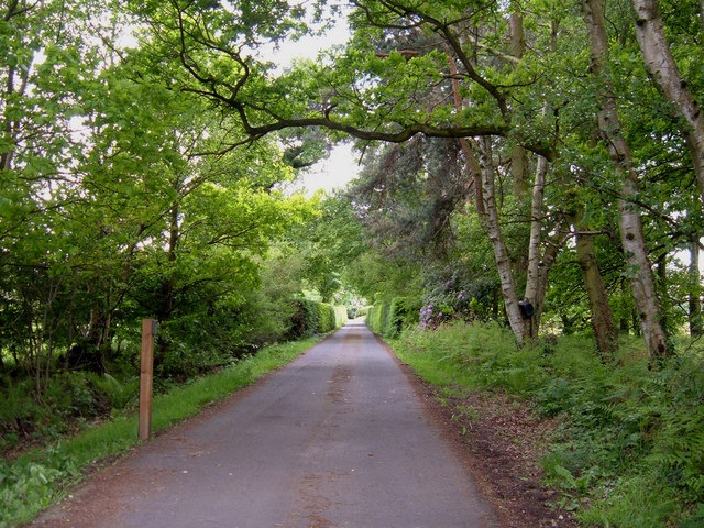
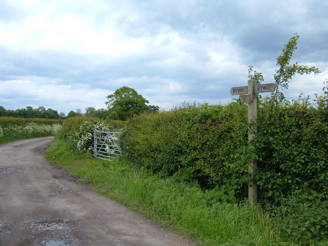
Visitors can explore the woodland via a network of well-maintained trails, allowing for leisurely walks or more adventurous hikes. These paths wind through the forest, leading visitors to hidden glades, babbling brooks, and secluded picnic spots. The wood is also intersected by a charming stream, further enhancing its natural beauty.
Dog Hole Wood is a true gem in Cheshire's natural landscape, offering a tranquil and enchanting experience for all who visit. Its rich history, diverse wildlife, and breathtaking scenery make it a must-visit destination for nature lovers and those seeking a peaceful retreat.
If you have any feedback on the listing, please let us know in the comments section below.
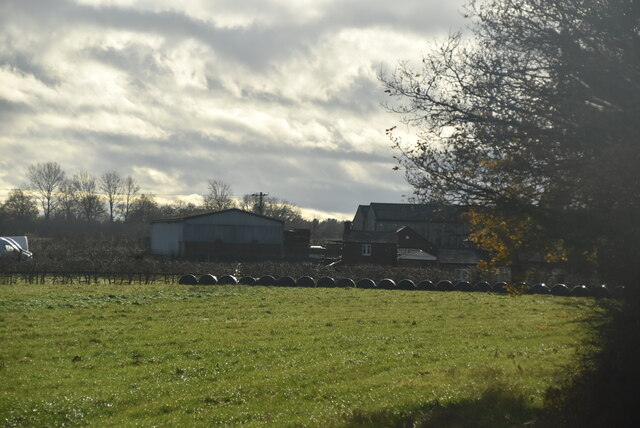
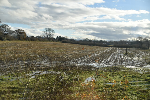
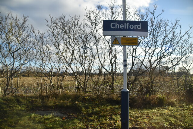
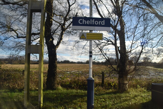
Dog Hole Wood Images
Images are sourced within 2km of 53.28326/-2.2809919 or Grid Reference SJ8176. Thanks to Geograph Open Source API. All images are credited.


Dog Hole Wood is located at Grid Ref: SJ8176 (Lat: 53.28326, Lng: -2.2809919)
Unitary Authority: Cheshire East
Police Authority: Cheshire
What 3 Words
///strapping.measuring.trek. Near Chelford, Cheshire
Nearby Locations
Related Wikis
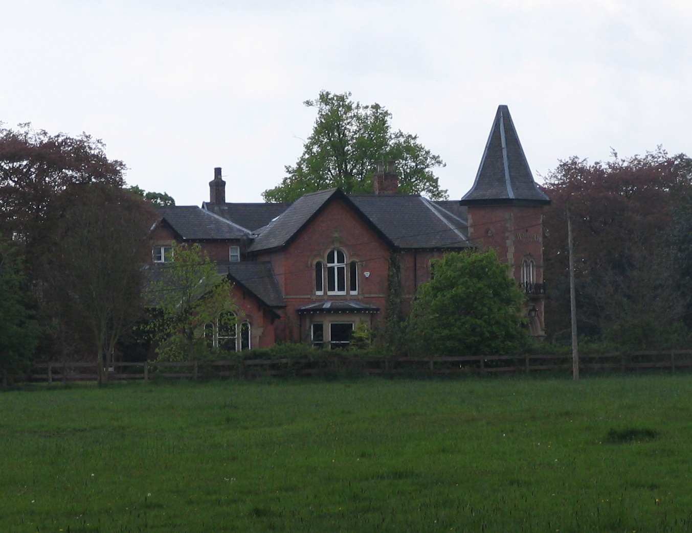
Warford Hall
Warford Hall is a country house in the village of Great Warford, Cheshire, England. It was designed by W. Roberts, and built in 1867 for J. C. Rowley....

Little Warford
Little Warford is a village and civil parish in the unitary authority of Cheshire East and the ceremonial county of Cheshire, England. It has a population...

Great Warford
Great Warford () is a village and civil parish in the unitary authority of Cheshire East and the ceremonial county of Cheshire, England. A predominantly...
Baptist Chapel, Great Warford
Baptist Chapel, Great Warford is located in Merryman's Lane in the village of Great Warford, Cheshire, England. It is recorded in the National Heritage...
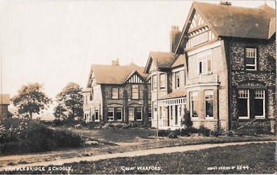
Mary Dendy Hospital
The Mary Dendy Hospital was a hospital for the "mentally subnormal" located in Great Warford, Cheshire, England. == History == The hospital was founded...

Chelford rail accident
The Chelford rail accident occurred on 22 December 1894 at Chelford railway station. The stationmaster was supervising shunting operations, during which...

Chelford railway station
Chelford railway station serves the village of Chelford in Cheshire, England. The station is 14+1⁄4 miles (22.9 km) north of Crewe on the Crewe to Manchester...

James Irlam
James Irlam & Sons Ltd (later trading as James Irlam Logistics) was a British road haulage company founded in the 1940s by James Irlam. It was owned and...
Nearby Amenities
Located within 500m of 53.28326,-2.2809919Have you been to Dog Hole Wood?
Leave your review of Dog Hole Wood below (or comments, questions and feedback).