Langwathby
Civil Parish in Cumberland Eden
England
Langwathby
Langwathby is a civil parish located in the historic county of Cumberland, England. Situated in the Eden District of Cumbria, it lies on the bank of the River Eden, approximately 9 miles northeast of Penrith. The parish covers an area of around 10 square kilometers and has a population of approximately 600 residents.
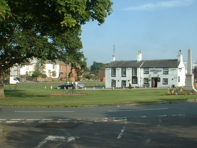
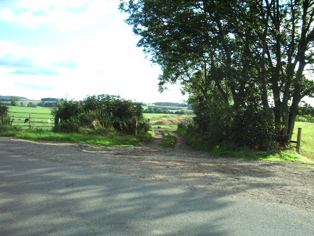
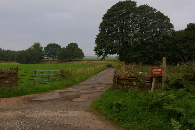
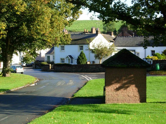
The village of Langwathby is the main settlement within the parish. It is a picturesque rural village surrounded by beautiful countryside, with the Pennine Hills to the east and the Lake District National Park to the west. The village is known for its charming sandstone houses and buildings, some of which date back to the 17th century.
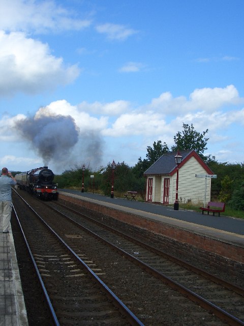
Langwathby is well-served by amenities and facilities. The village has a primary school, a post office, a village shop, and a popular pub. The nearby railway station provides a convenient connection to the West Coast Main Line, making it easily accessible for both residents and visitors.
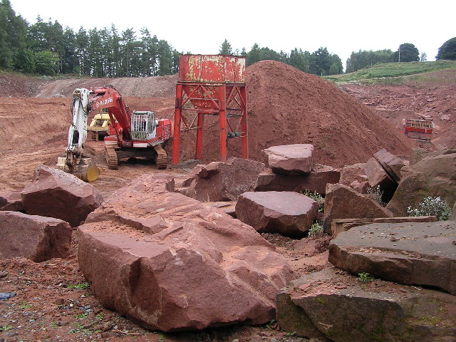
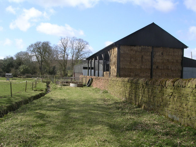
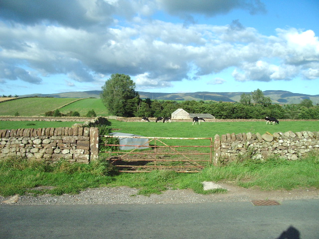
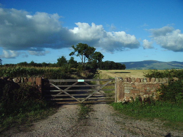
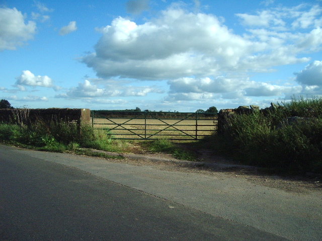
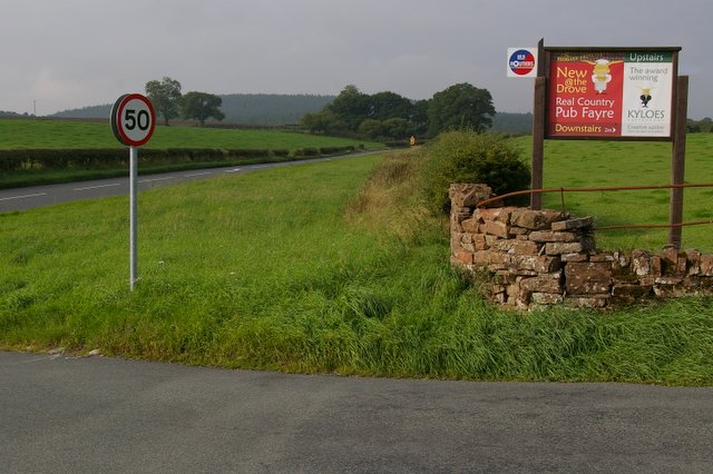
The parish is renowned for its agricultural heritage, with farming being a major part of the local economy. The fertile land surrounding Langwathby is utilized for livestock farming and arable cultivation. The area is also known for its apple orchards, producing varieties such as the Langwathby Crab and the Langwathby Seedling.
Langwathby offers a tranquil and idyllic setting for those seeking a peaceful countryside retreat. Its close proximity to both the Pennines and the Lake District makes it an ideal base for outdoor enthusiasts, with ample opportunities for walking, cycling, and exploring the natural beauty of the region.
If you have any feedback on the listing, please let us know in the comments section below.
Langwathby Images
Images are sourced within 2km of 54.684418/-2.67633 or Grid Reference NY5632. Thanks to Geograph Open Source API. All images are credited.


Langwathby is located at Grid Ref: NY5632 (Lat: 54.684418, Lng: -2.67633)
Administrative County: Cumbria
District: Eden
Police Authority: Cumbria
What 3 Words
///amplified.flip.quick. Near Penrith, Cumbria
Nearby Locations
Related Wikis

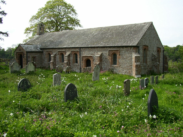
Edenhall
Edenhall is a clustered village and former civil parish, now in the south-west of the parish of Langwathby, 800m to the north in the Westmorland and Furness...
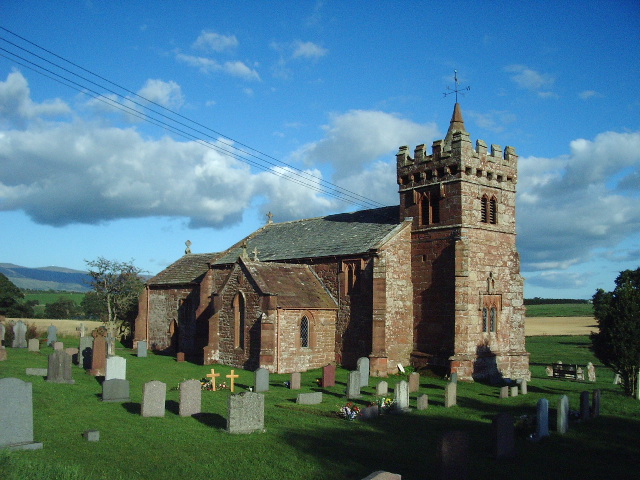
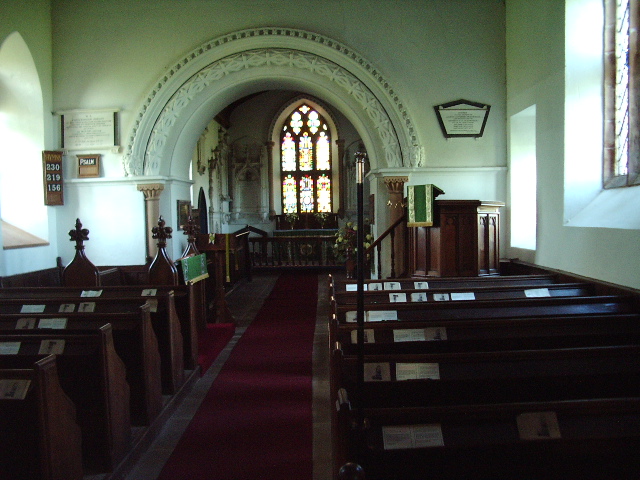
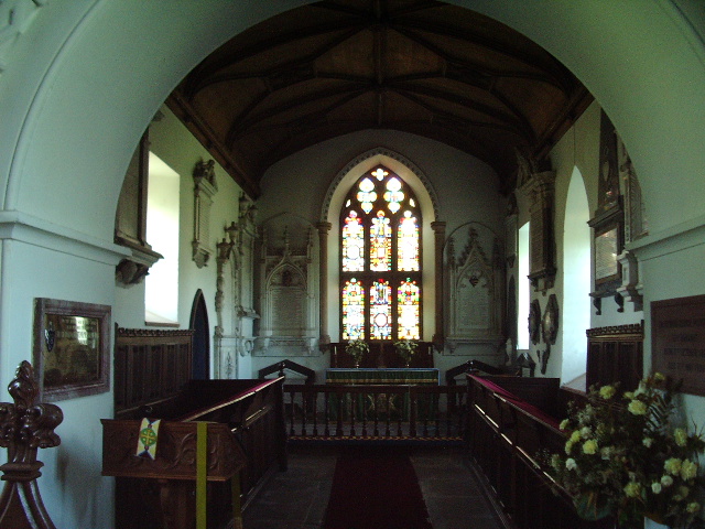
St Cuthbert's Church, Edenhall
St Cuthbert's Church is located near the village of Edenhall, Cumbria, England. It is an active Anglican parish church in the deanery of Penrith, the...

Langwathby
Langwathby is a village and civil parish in northern Cumbria, and in the historic English county of Cumberland, about 5 miles (8 km) north east of Penrith...

Langwathby railway station
Langwathby is a railway station on the Settle and Carlisle Line, which runs between Carlisle and Leeds via Settle. The station, situated 19 miles 59 chains...

Penrith and The Border (UK Parliament constituency)
Penrith and The Border is a constituency in Cumbria represented in the House of Commons of the UK Parliament since 2019 by Neil Hudson, a Conservative...
Ninekirks
Ninekirks is the local name for St Ninian's church, Brougham, Cumbria. Dedicated to Saint Ninian, it was formerly the Anglican parish church for Brougham...

RAF Hornby Hall
RAF Hornby Hall was a Royal Air Force satellite landing ground located near Brougham, 4 miles (6.4 km) east of Penrith, Cumbria and 8.8 miles (14.2 km...

Little Salkeld railway station
Little Salkeld was a railway station which served the village of Little Salkeld in Hunsonby parish and Great Salkeld, Cumbria, England. The Settle-Carlisle...
Nearby Amenities
Located within 500m of 54.684418,-2.67633Have you been to Langwathby?
Leave your review of Langwathby below (or comments, questions and feedback).