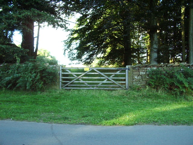
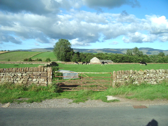
Apar Plantation
Wood, Forest in Cumberland Eden
England
Apar Plantation
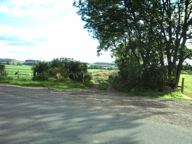
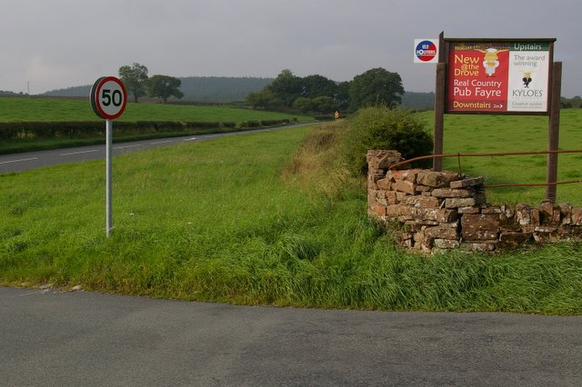
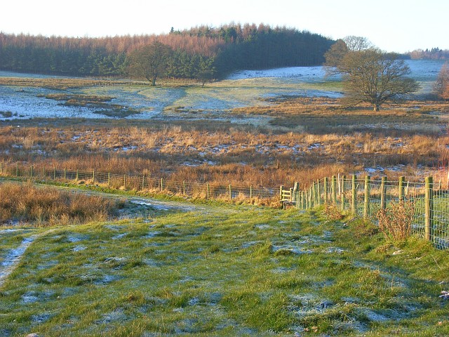
Apar Plantation, located in Cumberland, is a prominent wood or forest region renowned for its rich biodiversity and thriving ecosystem. Spread across a vast area, this plantation is a sanctuary for a diverse range of flora and fauna, making it a haven for nature enthusiasts and researchers alike.
The plantation is home to a wide variety of tree species, including oak, maple, birch, and pine, among many others. These trees create a dense canopy that provides shelter to numerous animal species, such as deer, foxes, squirrels, and a myriad of bird species. The vibrant ecosystem also supports a healthy population of insects, butterflies, and bees, contributing to the overall biodiversity of the area.
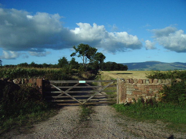
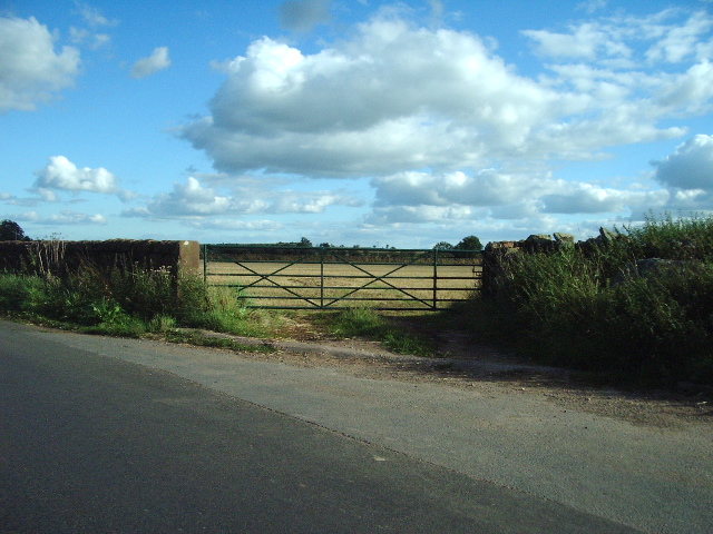
Moreover, Apar Plantation is known for its sustainable forestry practices. The trees are selectively harvested, ensuring the long-term health and growth of the forest. This approach not only promotes ecological balance but also supports the local economy by providing a sustainable source of timber.
Visitors to the Apar Plantation can indulge in various recreational activities like hiking, birdwatching, and nature photography. The well-maintained trails offer breathtaking views of the surrounding landscape, allowing visitors to immerse themselves in the serene beauty of the forest.
Conservation efforts are also a significant focus at Apar Plantation. The local authorities collaborate with environmental organizations to protect and preserve the delicate ecosystem. This includes measures to prevent illegal logging, minimize pollution, and educate the public about the importance of sustainable forestry practices.
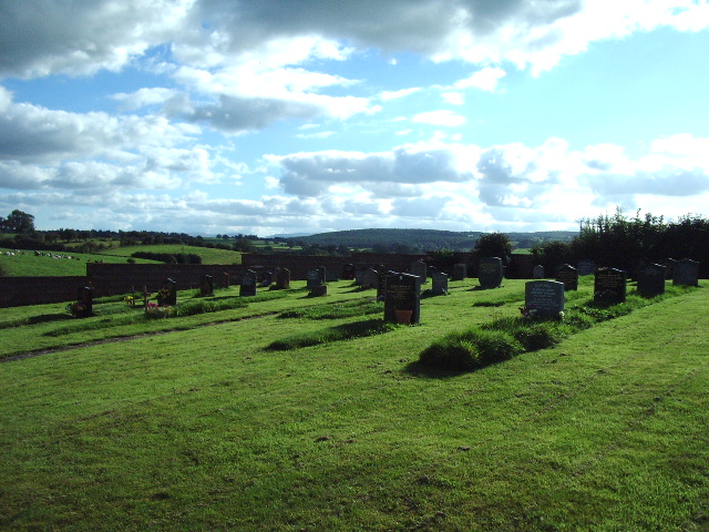
In conclusion, Apar Plantation in Cumberland is an enchanting wood or forest region teeming with diverse plant and animal life. With its scenic beauty and commitment to sustainability, it serves as a valuable resource for research, recreation, and environmental conservation.
If you have any feedback on the listing, please let us know in the comments section below.
Apar Plantation Images
Images are sourced within 2km of 54.687372/-2.6719928 or Grid Reference NY5632. Thanks to Geograph Open Source API. All images are credited.

Apar Plantation is located at Grid Ref: NY5632 (Lat: 54.687372, Lng: -2.6719928)
Administrative County: Cumbria
District: Eden
Police Authority: Cumbria
What 3 Words
///voucher.putts.normal. Near Penrith, Cumbria
Nearby Locations
Related Wikis

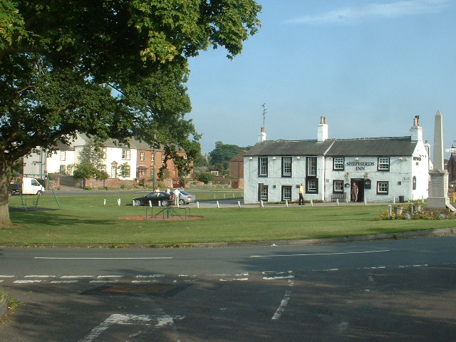
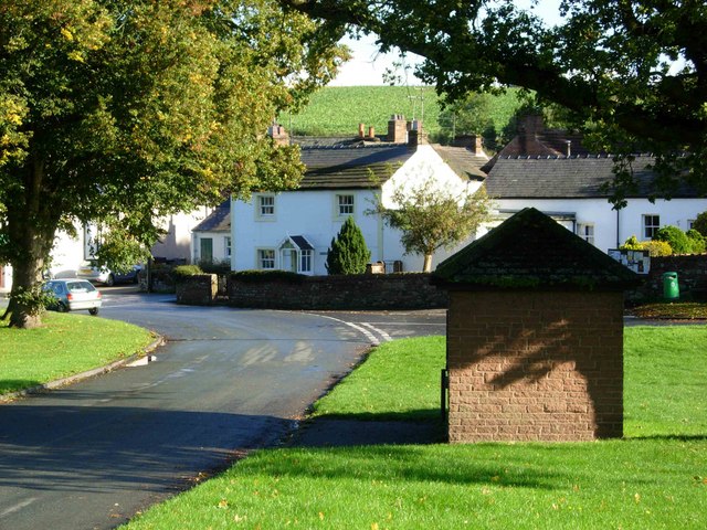
Edenhall
Edenhall is a clustered village and former civil parish, now in the south-west of the parish of Langwathby, 800m to the north in the Westmorland and Furness...
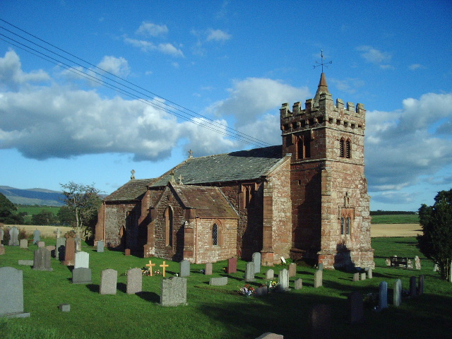
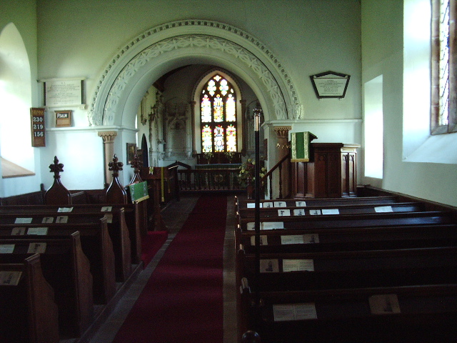
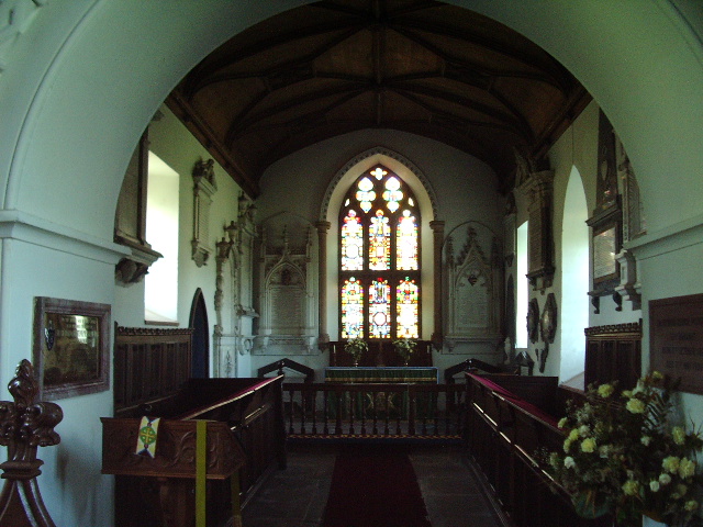
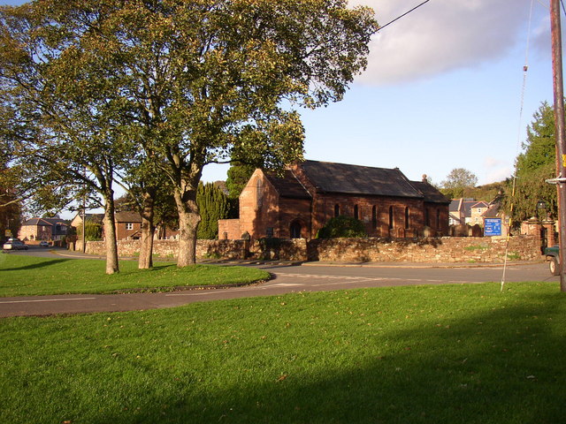
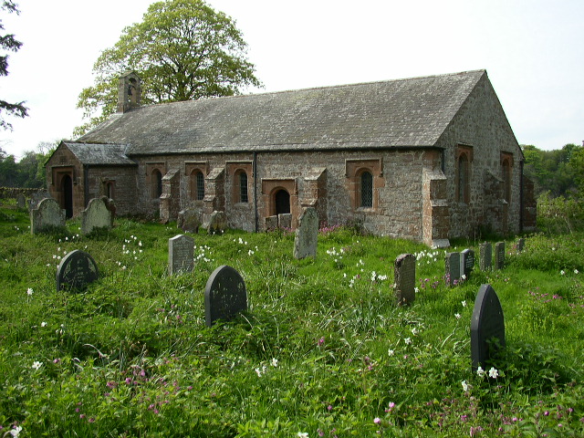
St Cuthbert's Church, Edenhall
St Cuthbert's Church is located near the village of Edenhall, Cumbria, England. It is an active Anglican parish church in the deanery of Penrith, the...

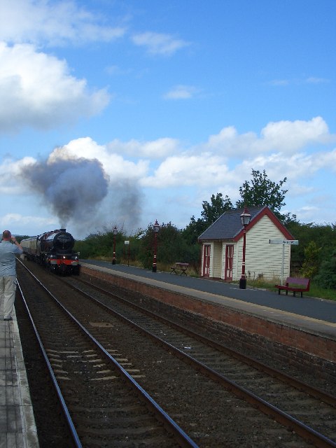
Langwathby railway station
Langwathby is a railway station on the Settle and Carlisle Line, which runs between Carlisle and Leeds via Settle. The station, situated 19 miles 59 chains...

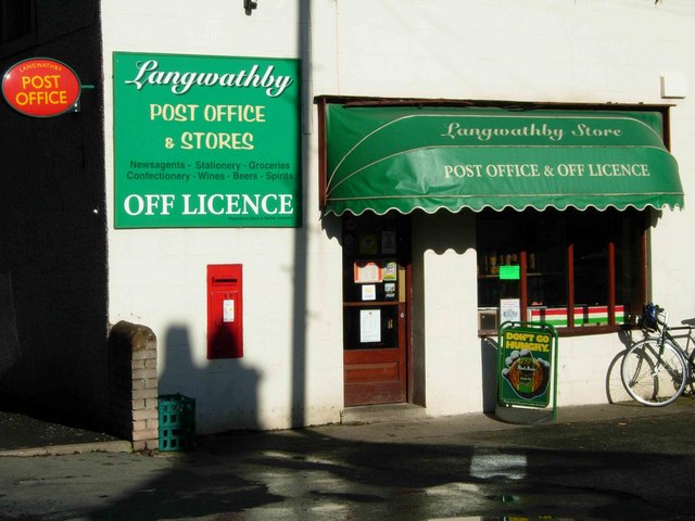
Langwathby
Langwathby is a village and civil parish in northern Cumbria, and in the historic English county of Cumberland, about 5 miles (8 km) north east of Penrith...

Penrith and The Border (UK Parliament constituency)
Penrith and The Border is a constituency in Cumbria represented in the House of Commons of the UK Parliament since 2019 by Neil Hudson, a Conservative...

Little Salkeld railway station
Little Salkeld was a railway station which served the village of Little Salkeld in Hunsonby parish and Great Salkeld, Cumbria, England. The Settle-Carlisle...
Ninekirks
Ninekirks is the local name for St Ninian's church, Brougham, Cumbria. Dedicated to Saint Ninian, it was formerly the Anglican parish church for Brougham...

Little Salkeld
Little Salkeld is a small village and former civil parish, now in the parish of Hunsonby, in the Eden district of Cumbria, England, a few miles to the...
Nearby Amenities
Located within 500m of 54.687372,-2.6719928Have you been to Apar Plantation?
Leave your review of Apar Plantation below (or comments, questions and feedback).