Church Wood
Downs, Moorland in Cumberland Eden
England
Church Wood
Church Wood is a picturesque woodland located in the county of Cumberland, England. Situated amidst the scenic landscape of the Downs and Moorland, this woodland is a haven for nature enthusiasts and offers a tranquil escape from the bustling city life.
Covering an area of approximately 100 acres, Church Wood is home to a diverse range of flora and fauna, making it a vital ecosystem in the region. The woodland is predominantly composed of native tree species such as oak, ash, and beech, which create a dense canopy that provides shade and shelter for various wildlife species.
Visitors to Church Wood can explore a network of well-maintained footpaths that wind through the woods, allowing for leisurely walks and opportunities to observe the natural beauty of the area. The wood also features a small stream, adding to its charm and providing a habitat for aquatic organisms.
Throughout the year, Church Wood offers a spectacle of seasonal changes, with vibrant colors in the autumn and a carpet of bluebells in the spring. The woodland is an ideal spot for birdwatching, with species such as woodpeckers, robins, and blue tits frequently spotted. Squirrels can also be seen darting between the trees, adding to the lively atmosphere of the wood.
With its serene ambiance and diverse ecosystem, Church Wood in Cumberland is a must-visit destination for nature lovers and those seeking a peaceful retreat in the heart of the English countryside.
If you have any feedback on the listing, please let us know in the comments section below.
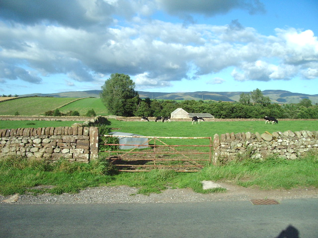
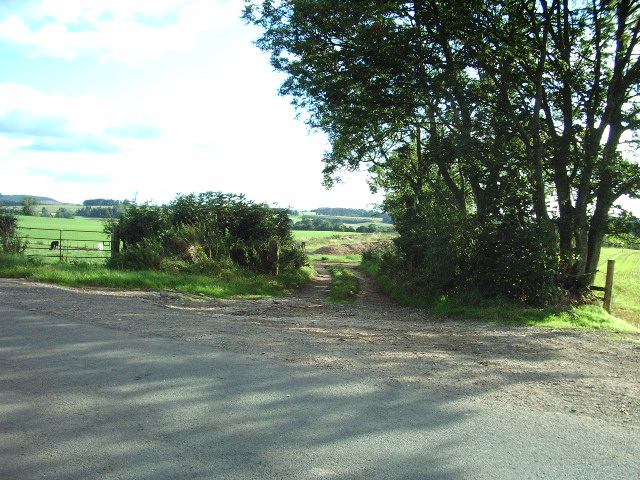
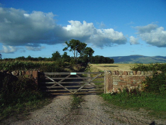
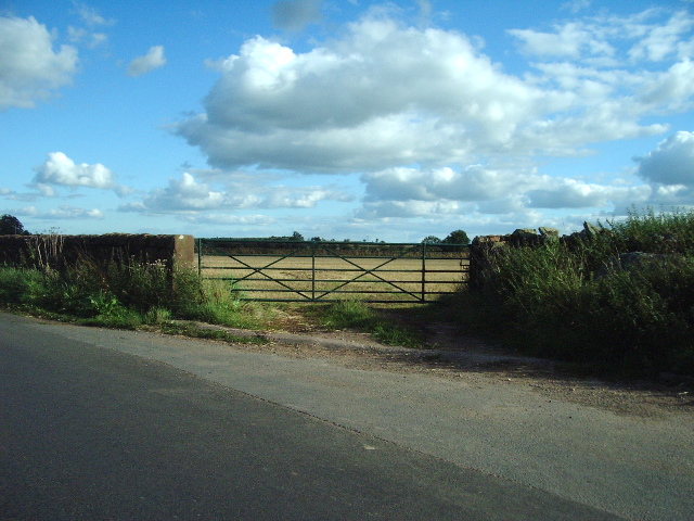
Church Wood Images
Images are sourced within 2km of 54.682727/-2.671885 or Grid Reference NY5632. Thanks to Geograph Open Source API. All images are credited.


Church Wood is located at Grid Ref: NY5632 (Lat: 54.682727, Lng: -2.671885)
Administrative County: Cumbria
District: Eden
Police Authority: Cumbria
What 3 Words
///heaven.shots.incurring. Near Penrith, Cumbria
Nearby Locations
Related Wikis

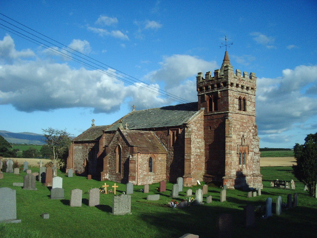
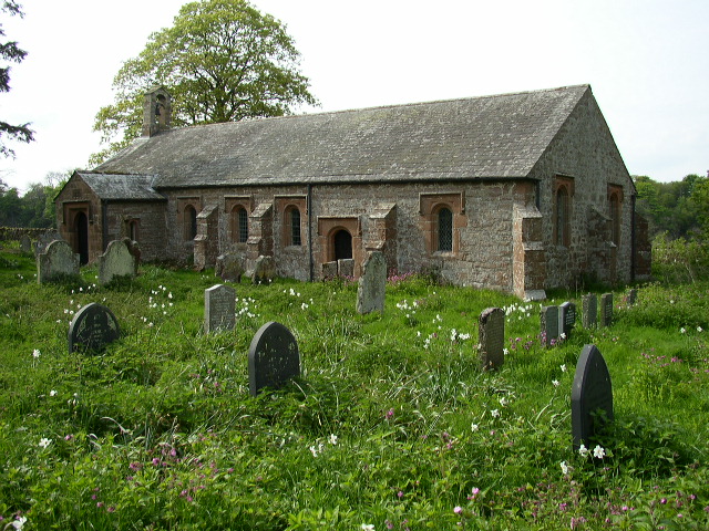
St Cuthbert's Church, Edenhall
St Cuthbert's Church is located near the village of Edenhall, Cumbria, England. It is an active Anglican parish church in the deanery of Penrith, the...
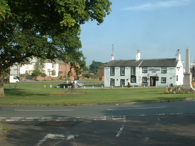
Edenhall
Edenhall is a clustered village and former civil parish, now in the south-west of the parish of Langwathby, 800m to the north in the Westmorland and Furness...

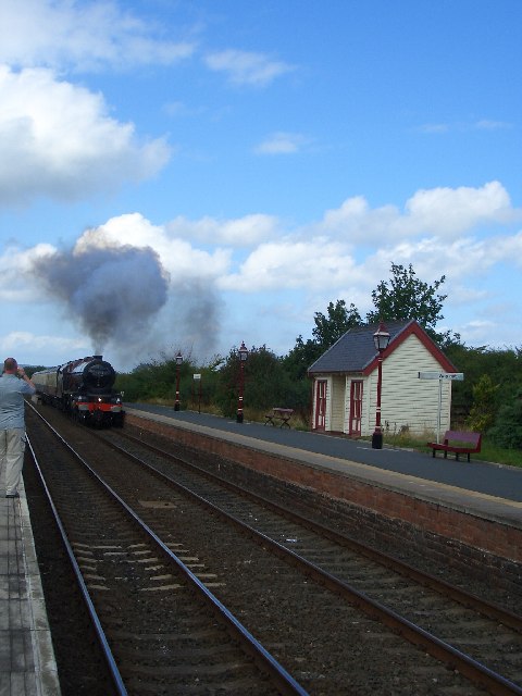
Langwathby railway station
Langwathby is a railway station on the Settle and Carlisle Line, which runs between Carlisle and Leeds via Settle. The station, situated 19 miles 59 chains...

Langwathby
Langwathby is a village and civil parish in northern Cumbria, and in the historic English county of Cumberland, about 5 miles (8 km) north east of Penrith...
Ninekirks
Ninekirks is the local name for St Ninian's church, Brougham, Cumbria. Dedicated to Saint Ninian, it was formerly the Anglican parish church for Brougham...

Penrith and The Border (UK Parliament constituency)
Penrith and The Border is a constituency in Cumbria represented in the House of Commons of the UK Parliament since 2019 by Neil Hudson, a Conservative...

RAF Hornby Hall
RAF Hornby Hall was a Royal Air Force satellite landing ground located near Brougham, 4 miles (6.4 km) east of Penrith, Cumbria and 8.8 miles (14.2 km...

Little Salkeld railway station
Little Salkeld was a railway station which served the village of Little Salkeld in Hunsonby parish and Great Salkeld, Cumbria, England. The Settle-Carlisle...
Nearby Amenities
Located within 500m of 54.682727,-2.671885Have you been to Church Wood?
Leave your review of Church Wood below (or comments, questions and feedback).