Desert Plantation
Wood, Forest in Cumberland Eden
England
Desert Plantation
Desert Plantation, Cumberland (Wood, Forest) is a historic plantation located in the town of Cumberland, Virginia, United States. Situated approximately 60 miles west of Richmond, it covers an expansive area of land, encompassing both woodlands and forested areas. The plantation holds great historical significance, dating back to the 18th century.
The main house of Desert Plantation is a stunning example of Georgian-style architecture, built in the early 1770s. It is a two-story brick structure with a central entrance flanked by symmetrical windows and chimneys on either side. The house features a hipped roof and a large front porch, providing a charming and elegant appearance.
The plantation was originally established as a tobacco plantation, but over the years, it diversified its agricultural endeavors. With its fertile soil and favorable climate, Desert Plantation became known for its production of corn, wheat, and other crops. The land also includes a number of outbuildings, including a smokehouse, a barn, and a carriage house, which are all well-preserved and offer a glimpse into the plantation's past.
Desert Plantation played a significant role in the region's history during the Civil War. It served as a temporary headquarters for both Confederate and Union forces at different points in time. Today, the plantation stands as a testament to the rich history and heritage of Cumberland County.
The plantation is open to the public for tours, providing visitors with an opportunity to explore the beautiful grounds, learn about the plantation's history, and appreciate the architectural and cultural significance of this historic site.
If you have any feedback on the listing, please let us know in the comments section below.
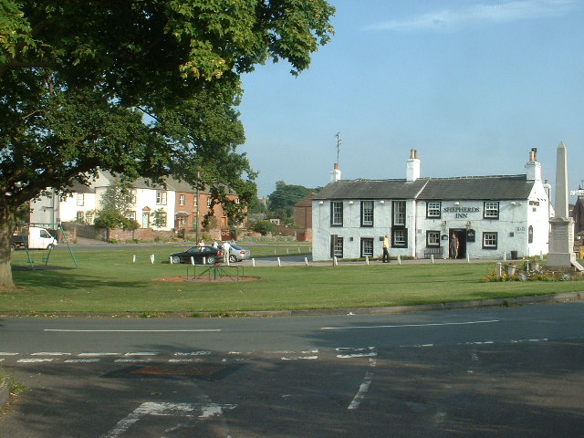
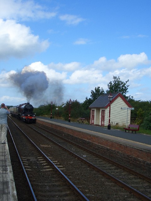
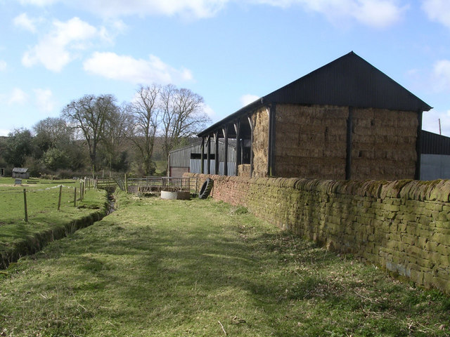
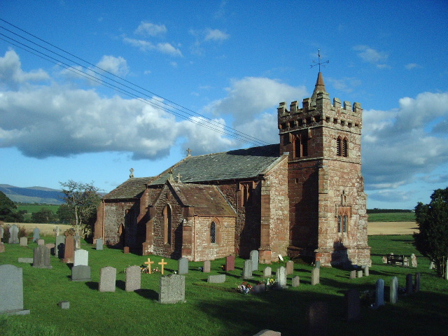
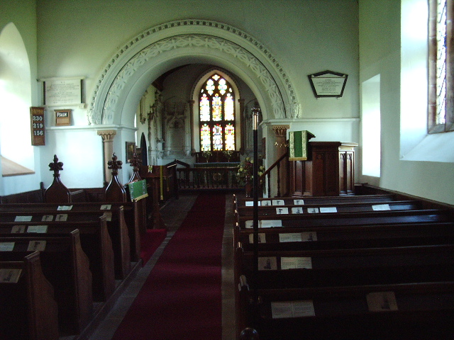
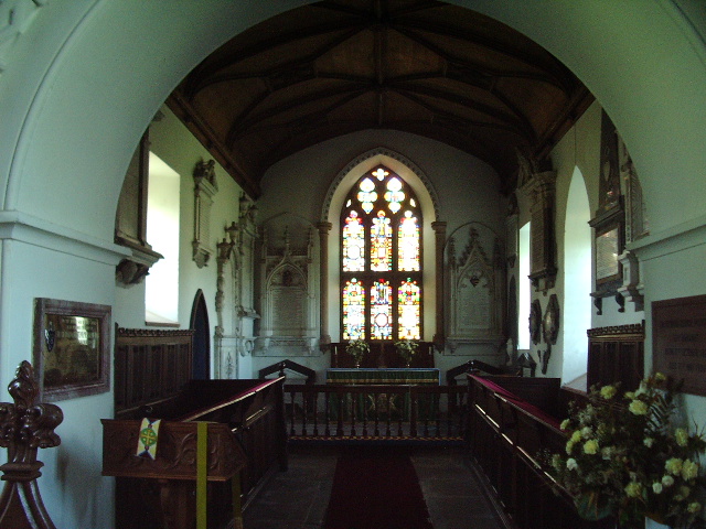
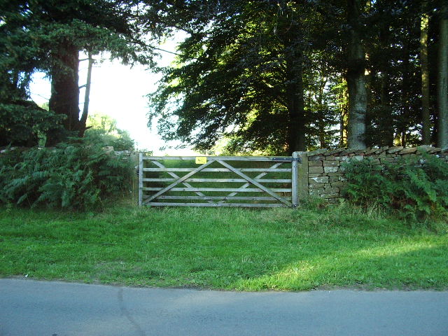
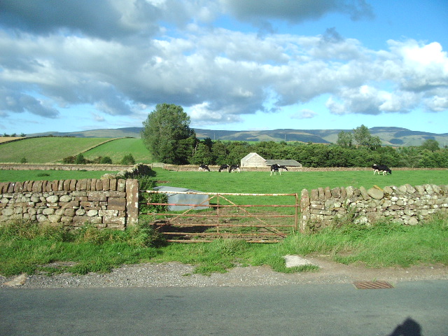
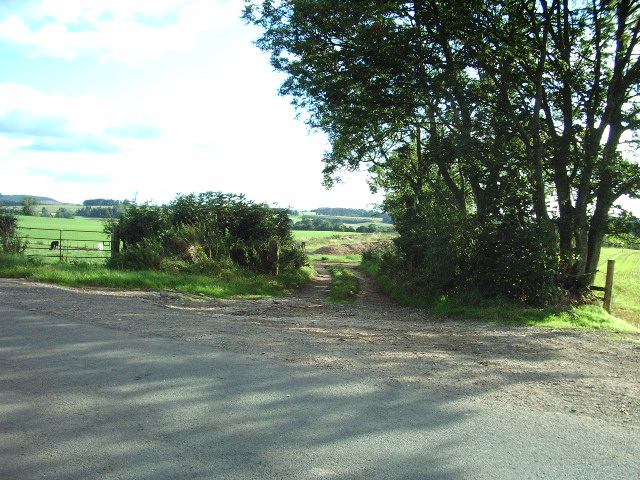
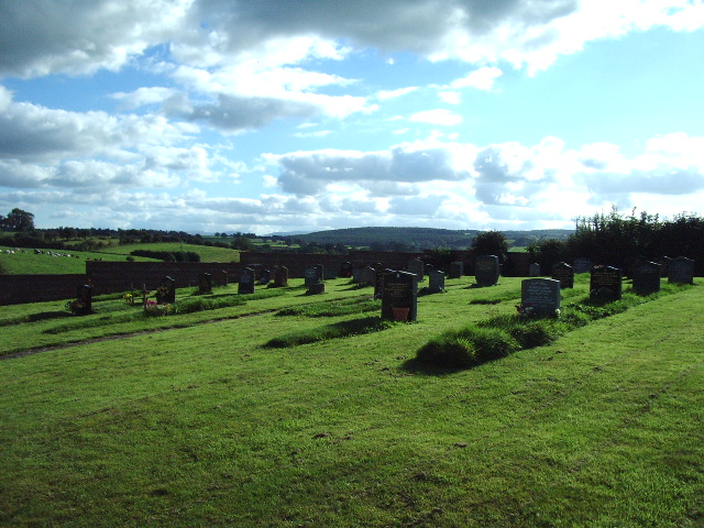
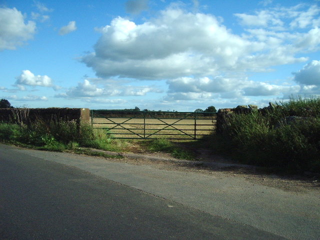
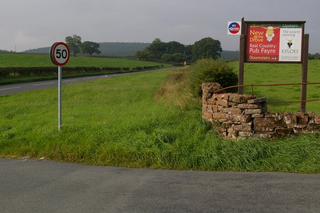
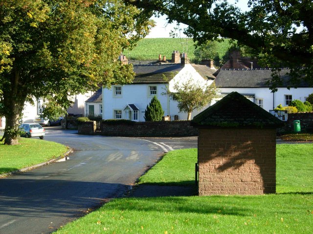
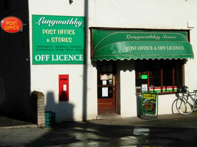
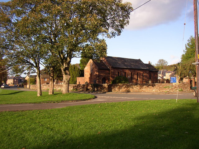
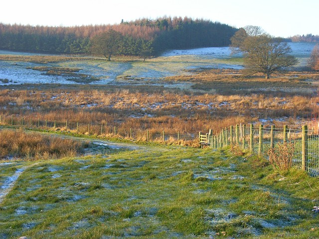
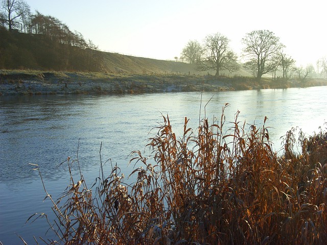
Desert Plantation Images
Images are sourced within 2km of 54.689368/-2.6701642 or Grid Reference NY5632. Thanks to Geograph Open Source API. All images are credited.

Desert Plantation is located at Grid Ref: NY5632 (Lat: 54.689368, Lng: -2.6701642)
Administrative County: Cumbria
District: Eden
Police Authority: Cumbria
What 3 Words
///sourced.shifters.eruptions. Near Penrith, Cumbria
Nearby Locations
Related Wikis

Edenhall
Edenhall is a clustered village and former civil parish, now in the south-west of the parish of Langwathby, 800m to the north in the Westmorland and Furness...

Langwathby railway station
Langwathby is a railway station on the Settle and Carlisle Line, which runs between Carlisle and Leeds via Settle. The station, situated 19 miles 59 chains...

Langwathby
Langwathby is a village and civil parish in northern Cumbria, and in the historic English county of Cumberland, about 5 miles (8 km) north east of Penrith...
St Cuthbert's Church, Edenhall
St Cuthbert's Church is located near the village of Edenhall, Cumbria, England. It is an active Anglican parish church in the deanery of Penrith, the...

Penrith and The Border (UK Parliament constituency)
Penrith and The Border is a constituency in Cumbria represented in the House of Commons of the UK Parliament since 2019 by Neil Hudson, a Conservative...

Little Salkeld railway station
Little Salkeld was a railway station which served the village of Little Salkeld in Hunsonby parish and Great Salkeld, Cumbria, England. The Settle-Carlisle...

Hunsonby
Hunsonby is a village and civil parish in the Eden district of Cumbria, England, 7 miles (11 km) north east of Penrith. The parish is located 28 miles...

Little Salkeld
Little Salkeld is a small village and former civil parish, now in the parish of Hunsonby, in the Eden district of Cumbria, England, a few miles to the...
Nearby Amenities
Located within 500m of 54.689368,-2.6701642Have you been to Desert Plantation?
Leave your review of Desert Plantation below (or comments, questions and feedback).