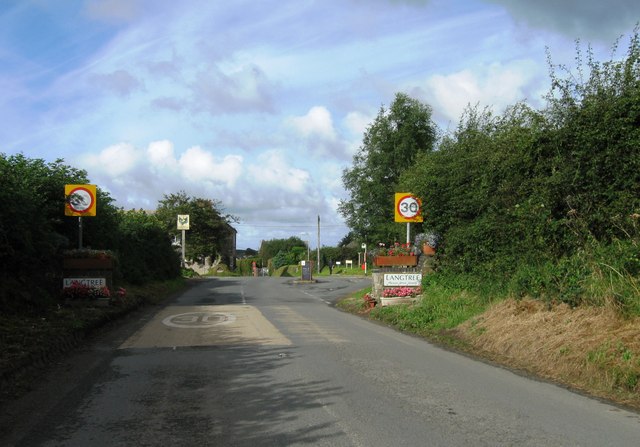
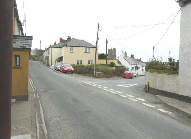
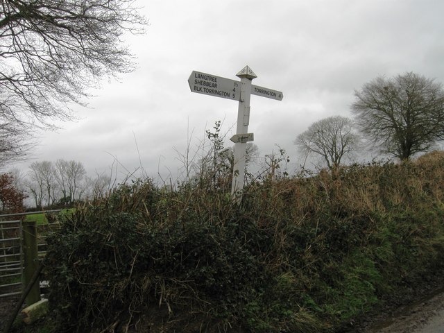
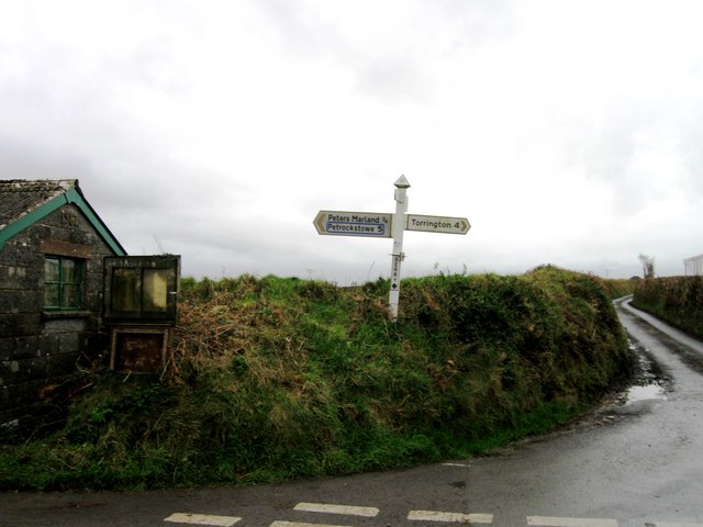
Langtree
Civil Parish in Devon Torridge
England
Langtree
Langtree is a civil parish located in the county of Devon, England. It is situated in the Torridge district, approximately 10 miles south of the town of Bideford. The parish covers an area of around 12 square miles and has a population of approximately 500 people.
The village of Langtree is the main settlement within the parish. It is a small and picturesque village with a charming rural atmosphere. The village is known for its traditional thatched cottages and historic buildings, which give it a timeless character. The parish church of St. Peter's, with its distinctive tower, is a notable landmark in the village.
The economy of Langtree is mainly agricultural, with farming being the primary industry. The fertile land surrounding the village is primarily used for livestock farming, including sheep and cattle. The village also has a few small businesses, including a village shop and a pub, which provide essential services to the local community.
Langtree is surrounded by beautiful countryside, offering ample opportunities for outdoor activities such as walking, cycling, and horse riding. The parish is also located close to the Tarka Trail, a popular walking and cycling route that follows the path of the old railway line from Braunton to Meeth.
Despite its small size, Langtree has a strong sense of community, with various events and activities organized throughout the year, including the annual village fete and the Christmas market. The village also has a primary school, which serves the local area.
Overall, Langtree is a charming and idyllic rural parish, offering a peaceful and picturesque lifestyle to its residents.
If you have any feedback on the listing, please let us know in the comments section below.
Langtree Images
Images are sourced within 2km of 50.914653/-4.199674 or Grid Reference SS4515. Thanks to Geograph Open Source API. All images are credited.


Langtree is located at Grid Ref: SS4515 (Lat: 50.914653, Lng: -4.199674)
Administrative County: Devon
District: Torridge
Police Authority: Devon & Cornwall
What 3 Words
///swing.gadgets.snoozing. Near Great Torrington, Devon
Nearby Locations
Related Wikis

Langtree
Langtree is a village and parish in north Devon, England, situated about 4 miles (6 km) south-west of Great Torrington and 8 miles (13 km) south of Bideford...
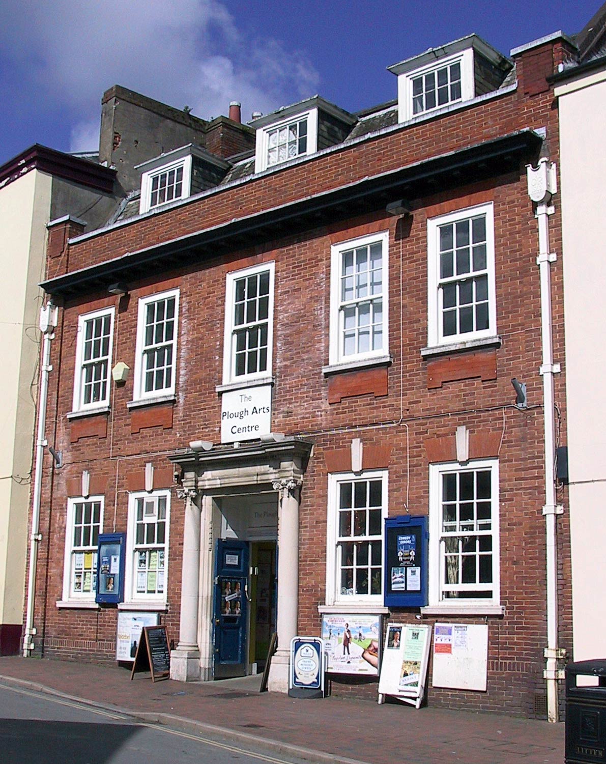
The Plough Arts Centre, Torrington
The Plough Arts Centre is a theatre, cinema and art gallery in Torrington, North Devon, England. The Plough is situated in a former Territorial Army drill...

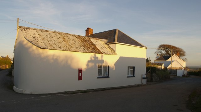
Stibb Cross
Stibb Cross is a small village in north Devon, England. It is included in the civil parish of Langtree and is located about one mile from that village...
Berry Cross
Berry Cross is a village in Devon, England.

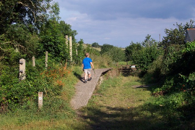
Watergate Halt railway station
Watergate Halt was an intermediate halt on the initially privately run North Devon and Cornwall Junction Light Railway. "It was one of those moments...

Frithelstock
Frithelstock (pronounced Frizzlestock) is a village, civil parish and former manor in Devon, England. It is located within Torridge local authority area...
Yarde Halt railway station
Yarde Halt railway station was an intermediate halt on the initially privately run North Devon and Cornwall Junction Light Railway, opened in 1926 to serve...

Newton St Petrock
Newton St Petrock is an ecclesiastical and civil parish in the Torridge district of Devon in England, occupying approximately 1,500 acres (6.1 km2). The...
Nearby Amenities
Located within 500m of 50.914653,-4.199674Have you been to Langtree?
Leave your review of Langtree below (or comments, questions and feedback).