Aldworth
Settlement in Berkshire
England
Aldworth
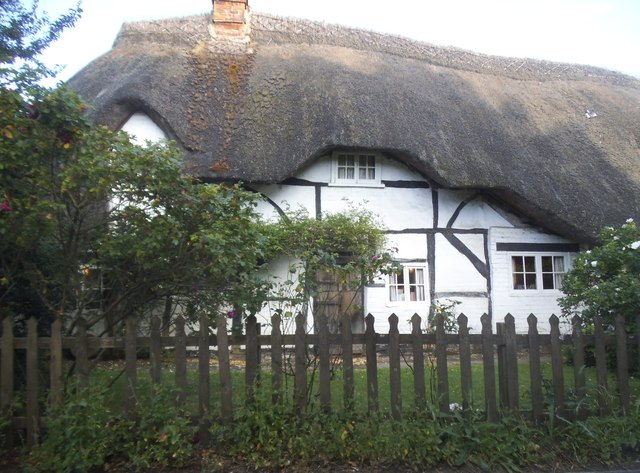
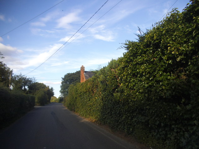
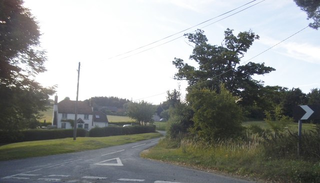
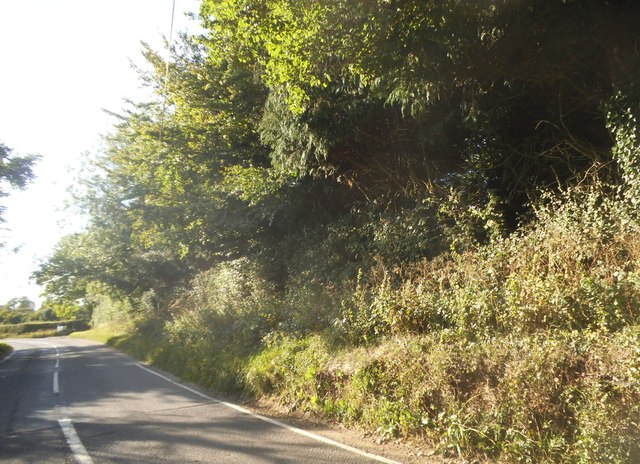
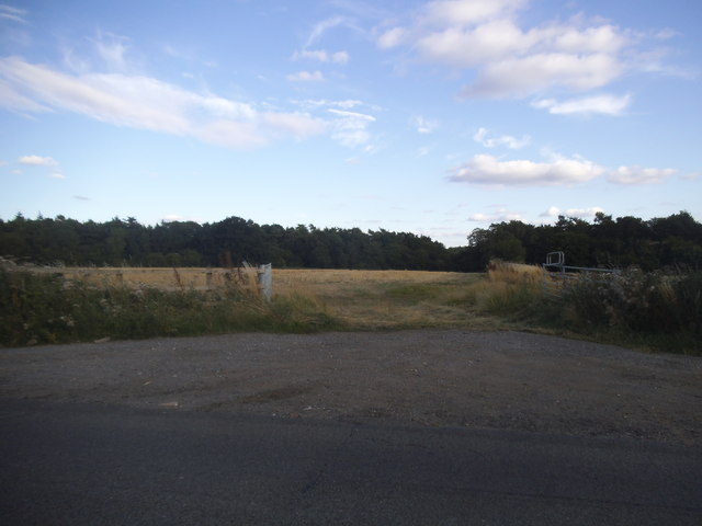
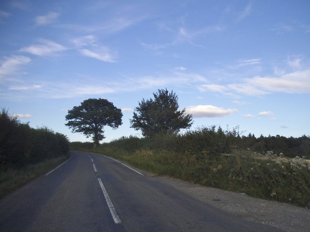
Aldworth is a small village located in the county of Berkshire, England. Situated on the edge of the Berkshire Downs, it is surrounded by picturesque countryside and offers stunning views of the surrounding area. The village is approximately 10 miles southwest of the town of Reading and has a population of around 500 residents.
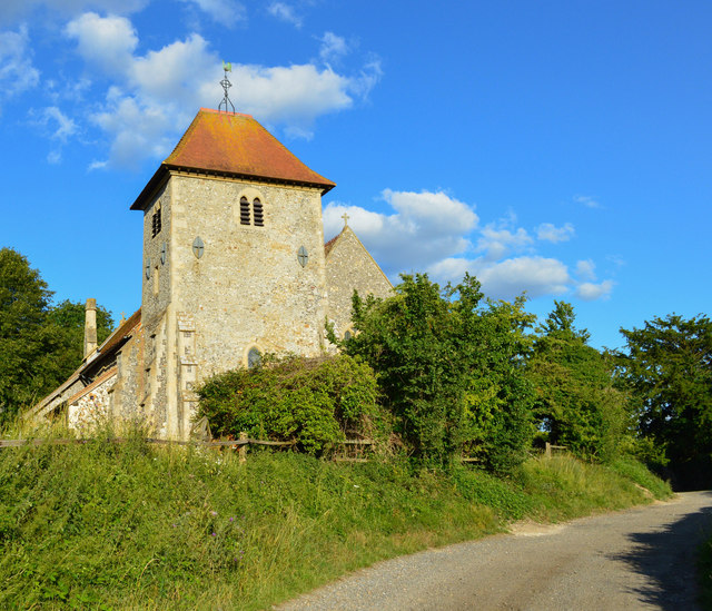
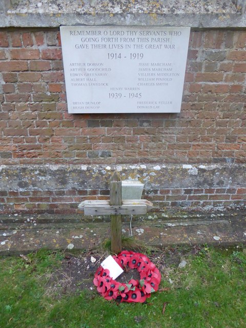
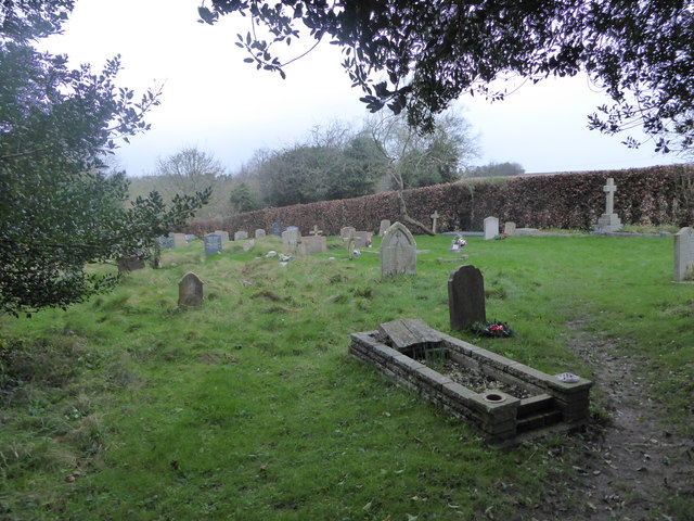
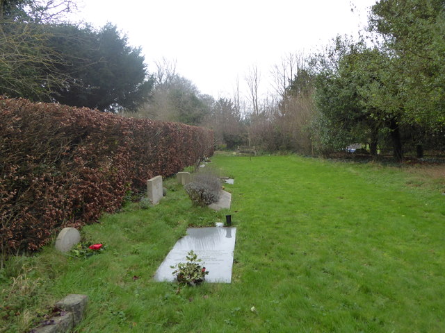
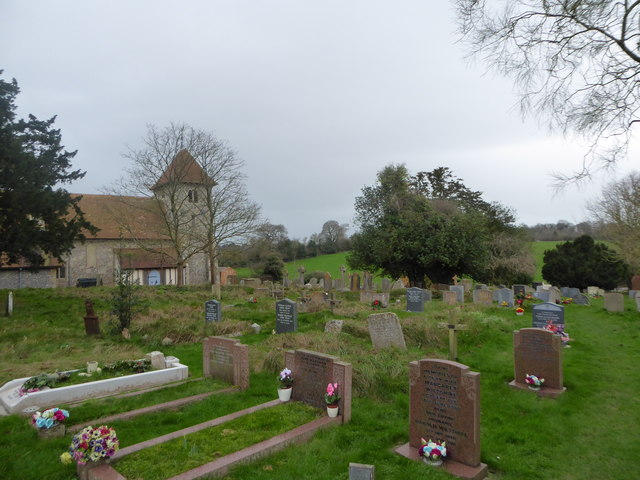
The history of Aldworth dates back to the Saxon times, with evidence of settlements in the area from as early as the 7th century. The village is known for its rich cultural heritage, with several historic buildings still standing, including the 12th-century Church of St. Mary the Virgin, which is a grade I listed building. The church features unique Norman architecture and is a popular tourist attraction.
Aldworth is also famous for being the final resting place of the famous English poet and author, Thomas Hughes, who wrote the classic novel "Tom Brown's School Days." Hughes' grave can be found in the churchyard of St. Mary the Virgin.
The village has a strong sense of community and is home to several local amenities, including a primary school, a village hall, and a traditional pub. The surrounding countryside offers numerous walking and hiking opportunities, with many public footpaths and bridleways crisscrossing the area.
In conclusion, Aldworth is a charming village in Berkshire with a rich history, beautiful scenery, and a close-knit community. It is an ideal destination for those seeking a peaceful and idyllic retreat away from the bustling city life.
If you have any feedback on the listing, please let us know in the comments section below.
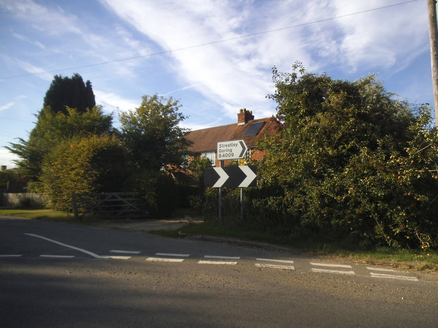
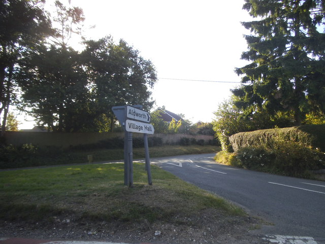
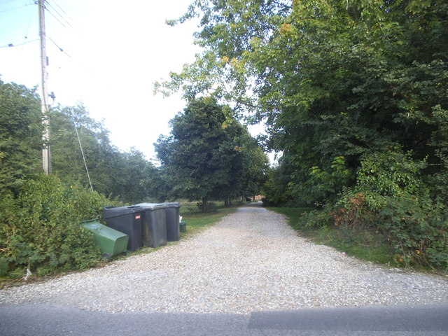
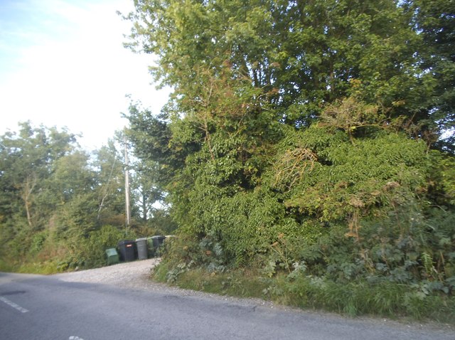
Aldworth Images
Images are sourced within 2km of 51.513103/-1.201198 or Grid Reference SU5579. Thanks to Geograph Open Source API. All images are credited.
Aldworth is located at Grid Ref: SU5579 (Lat: 51.513103, Lng: -1.201198)
Unitary Authority: West Berkshire
Police Authority: Thames Valley
What 3 Words
///showdown.geology.shrugging. Near Compton, Berkshire
Nearby Locations
Related Wikis
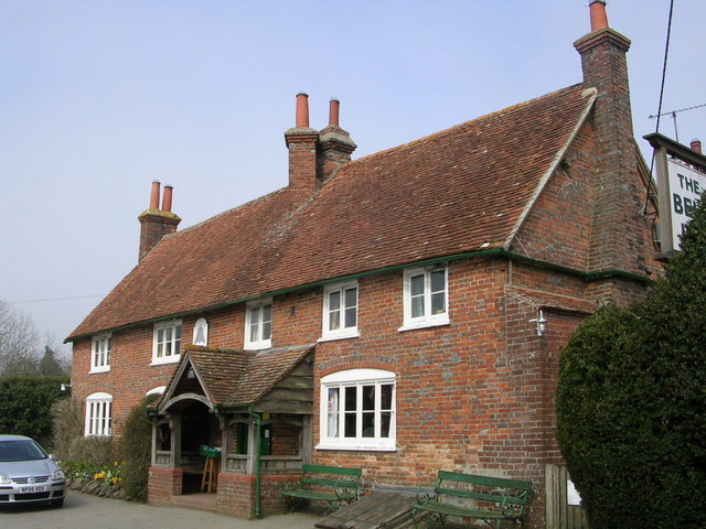
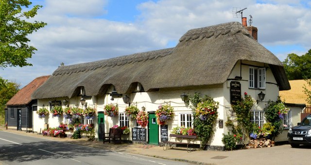
The Bell Inn, Aldworth
The Bell Inn is a pub at the village of Aldworth, in the English county of West Berkshire. It won CAMRA's National Pub of the Year in 1990, and received...

Aldworth
Aldworth is a village and mainly farmland civil parish in the English county of Berkshire, near the boundary with Oxfordshire. == Orthography and slight... ==

Streatley Warren
Streatley Warren is a 31.3-hectare (77-acre) biological Site of Special Scientific Interest west of Streatley in Berkshire. It is in the North Wessex Downs...

Battle of Ashdown
The Battle of Ashdown was a West Saxon victory over a Danish Viking army on about 8 January 871. The location of Ashdown is not known, but may be Kingstanding...

RAF Hampstead Norris
Royal Air Force Hampstead Norris or more simply RAF Hampstead Norris is a former Royal Air Force satellite station located 1.3 miles (2.1 km) north east...

Ashampstead
Ashampstead is a small village and civil parish in the rural area between Reading, Newbury and Streatley in Berkshire, England. The parish population is...

Goring & Streatley Golf Club
Goring & Streatley Golf Club is a golf course in the village of Streatley, in the English county of Berkshire. It takes its name partly from that village...

Lardon Chase, the Holies and Lough Down
Lardon Chase, the Holies and Lough Down is a National Trust countryside property in the English county of Berkshire. It is situated on the edge of the...
Nearby Amenities
Located within 500m of 51.513103,-1.201198Have you been to Aldworth?
Leave your review of Aldworth below (or comments, questions and feedback).