Parsonage Green
Downs, Moorland in Berkshire
England
Parsonage Green
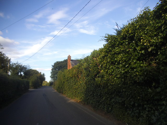
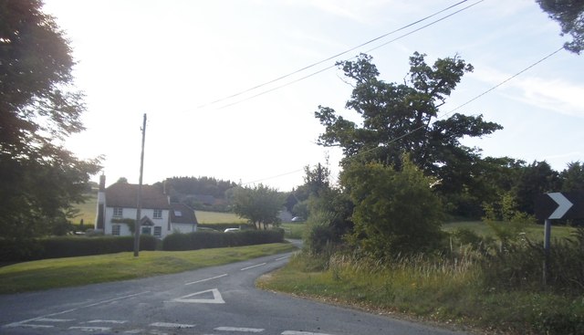
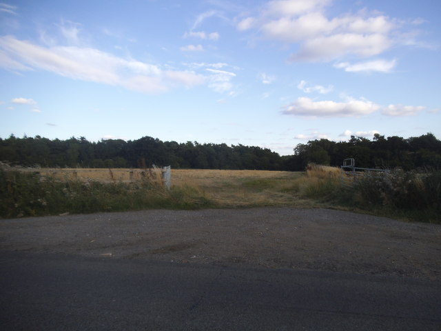
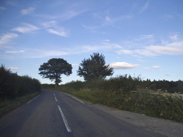
Parsonage Green is a picturesque village located in Berkshire, England. Nestled amidst the serene and verdant landscape of the Downs and Moorland regions, the village offers a tranquil and idyllic setting for its residents and visitors alike. With its rich history, natural beauty, and welcoming community, Parsonage Green is a sought-after destination for those seeking a peaceful countryside retreat.
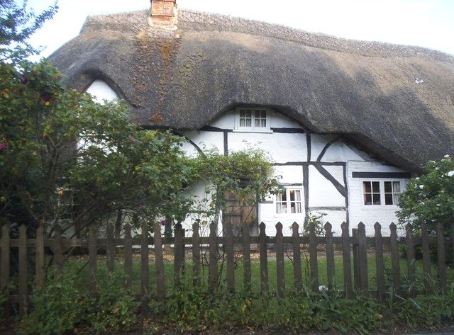
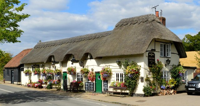
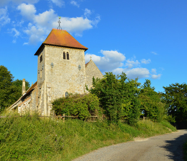
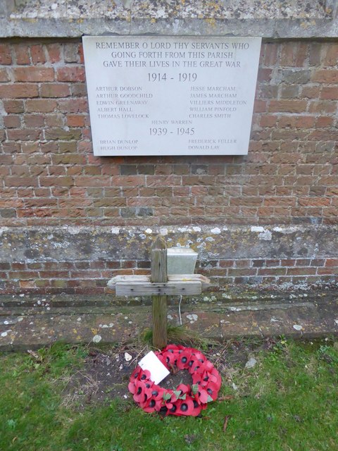
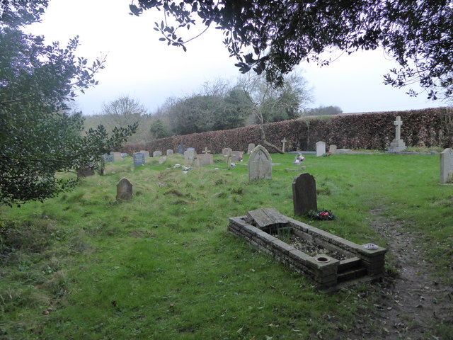
The village is characterized by its charming and well-preserved architectural heritage. Traditional cottages, with their thatched roofs and timber frames, line the streets, adding to the village's quaint and timeless atmosphere. The centerpiece of Parsonage Green is the historic parish church, a magnificent structure dating back several centuries, which stands as a testament to the village's deep-rooted heritage.
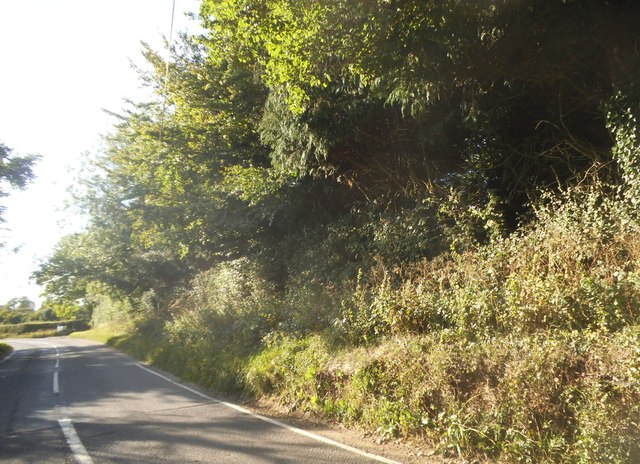
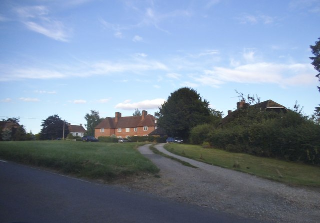
Surrounded by rolling hills and open fields, Parsonage Green offers ample opportunities for outdoor activities and exploration. The Downs provide a stunning backdrop for hiking, cycling, and horseback riding, while the Moorland offers a haven for nature enthusiasts, with its diverse wildlife and flora. The village also boasts several well-maintained parks and green spaces, perfect for picnics and leisurely strolls.
Despite its rural location, Parsonage Green is well-connected to neighboring towns and cities. The village benefits from excellent transport links, with a nearby train station providing easy access to London and other major urban centers.
In addition to its natural beauty, Parsonage Green is known for its strong sense of community. The village hosts regular events and festivals, bringing residents together and fostering a warm and friendly atmosphere. With its charming setting and welcoming spirit, Parsonage Green offers a truly delightful countryside experience.
If you have any feedback on the listing, please let us know in the comments section below.
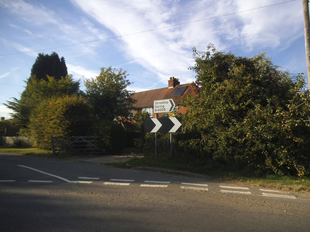
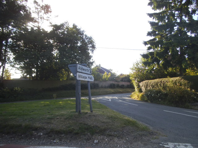
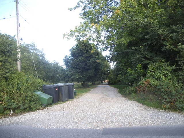
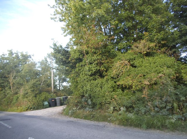
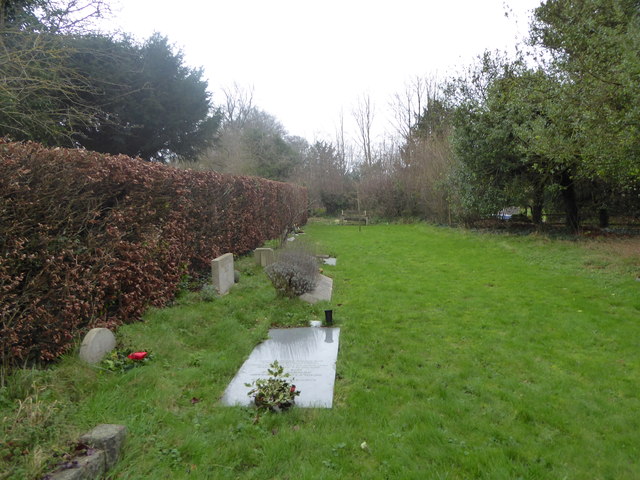
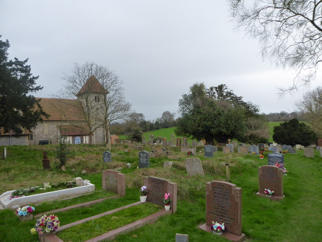
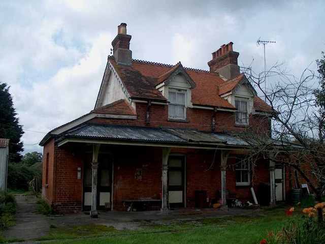
Parsonage Green Images
Images are sourced within 2km of 51.509805/-1.2046274 or Grid Reference SU5579. Thanks to Geograph Open Source API. All images are credited.
Parsonage Green is located at Grid Ref: SU5579 (Lat: 51.509805, Lng: -1.2046274)
Unitary Authority: West Berkshire
Police Authority: Thames Valley
What 3 Words
///helps.ballots.unwraps. Near Compton, Berkshire
Nearby Locations
Related Wikis

Aldworth
Aldworth is a village and mainly farmland civil parish in the English county of Berkshire, near the boundary with Oxfordshire. == Orthography and slight... ==
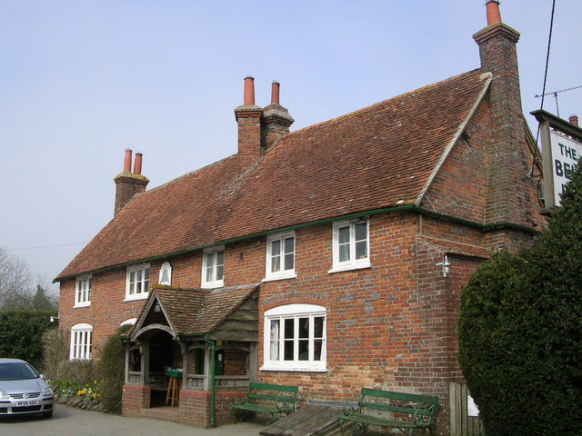
The Bell Inn, Aldworth
The Bell Inn is a pub at the village of Aldworth, in the English county of West Berkshire. It won CAMRA's National Pub of the Year in 1990, and received...

Streatley Warren
Streatley Warren is a 31.3-hectare (77-acre) biological Site of Special Scientific Interest west of Streatley in Berkshire. It is in the North Wessex Downs...

RAF Hampstead Norris
Royal Air Force Hampstead Norris or more simply RAF Hampstead Norris is a former Royal Air Force satellite station located 1.3 miles (2.1 km) north east...

Battle of Ashdown
The Battle of Ashdown was a West Saxon victory over a Danish Viking army on about 8 January 871. The location of Ashdown is not known, but may be Kingstanding...

Ashampstead
Ashampstead is a small village and civil parish in the rural area between Reading, Newbury and Streatley in Berkshire, England. The parish population is...
Compton railway station
Compton railway station was a station on the Didcot, Newbury and Southampton Railway in England. Compton was the largest station between Newbury, Berkshire...

Goring & Streatley Golf Club
Goring & Streatley Golf Club is a golf course in the village of Streatley, in the English county of Berkshire. It takes its name partly from that village...
Related Videos

A walk to The Bell Inn, Aldworth and a stroll around Streatley Hill
A daytime walk in the Thames valley around Goring & Streatley, with the main objective being to visit the beautiful Bell Inn at ...
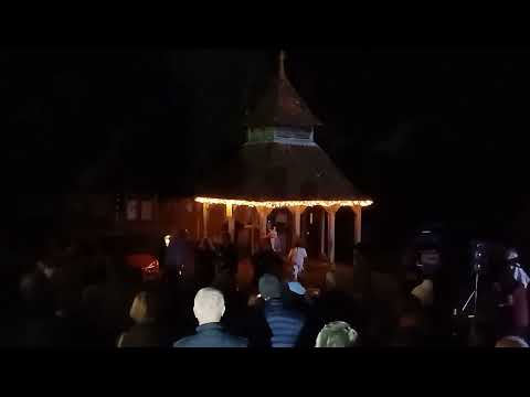
Carols at the pub, Aldworth, 16.12.23 Part 2
Carols at the pub, Aldworth, 16.12.23.
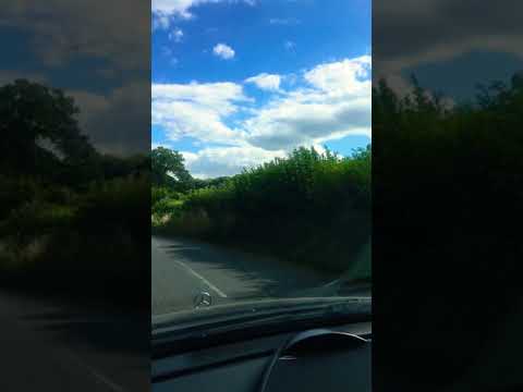
COUNTRYSIDE OF READING, ENGLAND #SHORTS
reading #england #countryside #uk Countryside driving.

The Sleeping Giants of Aldworth
St Mary Church in Aldworth , The Knights were actual Giants. The de la Beche family was important in the first half of the 14 th ...
Nearby Amenities
Located within 500m of 51.509805,-1.2046274Have you been to Parsonage Green?
Leave your review of Parsonage Green below (or comments, questions and feedback).