Poor's Land
Downs, Moorland in Yorkshire Hambleton
England
Poor's Land
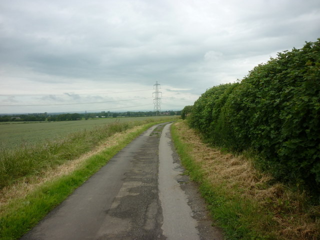
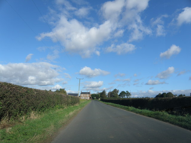
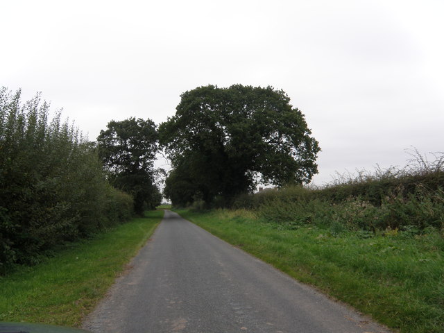
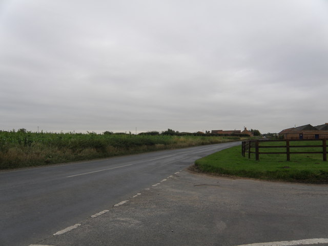
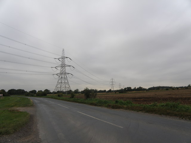
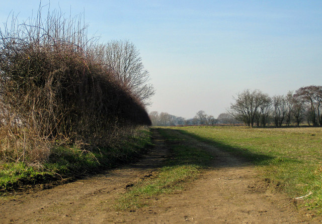
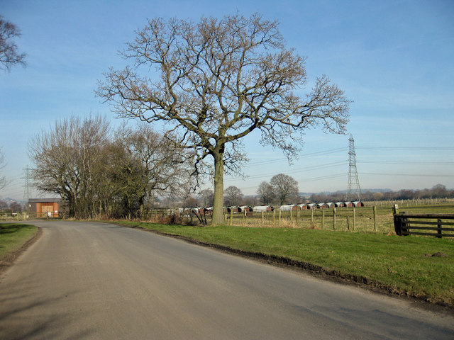
Poor's Land is a picturesque region located in Yorkshire, England, known for its diverse landscapes consisting of downs and moorland. Situated in the northern part of the county, it covers an extensive area that is characterized by rolling hills, open grasslands, and heather-covered moors.
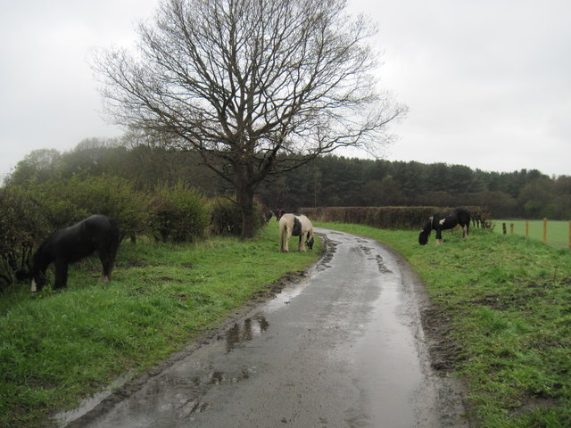
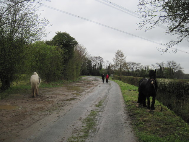
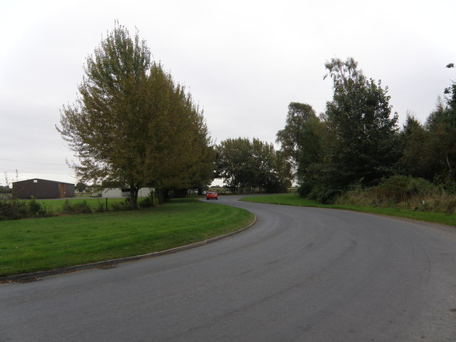
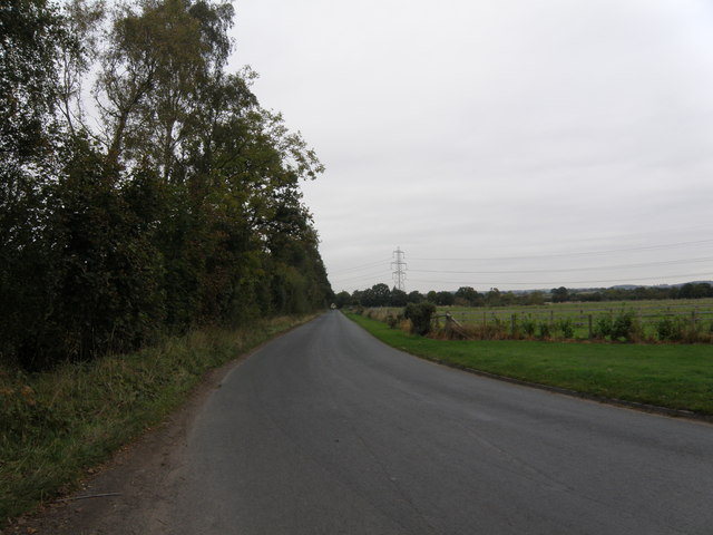
The downs of Poor's Land offer stunning panoramic views, with their gently sloping hills and rich green pastures. These areas are often utilized for agriculture, with sheep farming being a prominent activity in the region. The fertile soil and favorable climate make it an ideal location for grazing animals and cultivating crops.
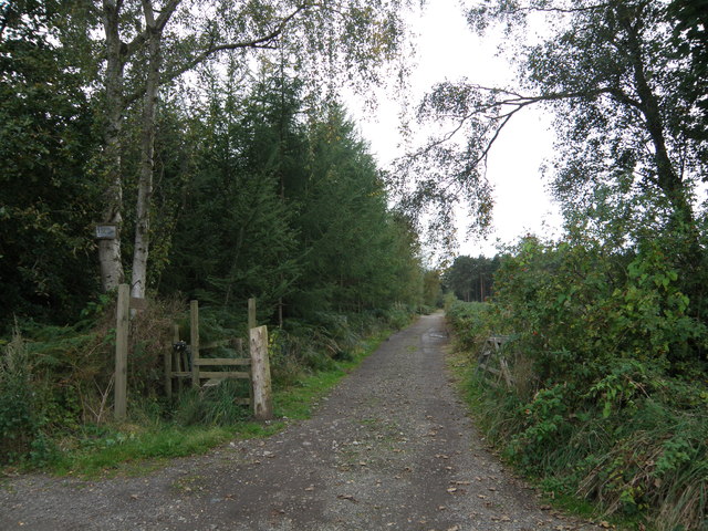
Moving further into the countryside, the landscape transitions into vast moorlands, where heather dominates the scenery. These moorlands are home to a diverse range of flora and fauna, including various species of birds, small mammals, and unique plant life. The area is renowned for its breathtaking beauty, particularly during the blooming season when the heather carpets the hills in vibrant hues of purple and pink.
Poor's Land is also dotted with charming villages and hamlets, where visitors can experience the traditional Yorkshire way of life. These settlements often feature quaint stone cottages, ancient churches, and local pubs offering a warm welcome to travelers.
Overall, Poor's Land, Yorkshire, with its downs and moorland, is a captivating region that showcases the natural beauty of the English countryside. Whether it's exploring the rolling hills, observing wildlife, or immersing oneself in the local culture, this area offers a unique and unforgettable experience for visitors.
If you have any feedback on the listing, please let us know in the comments section below.
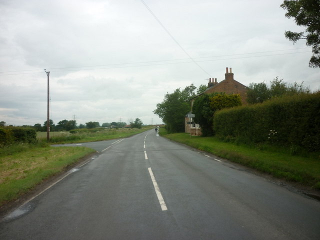
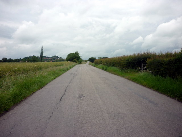
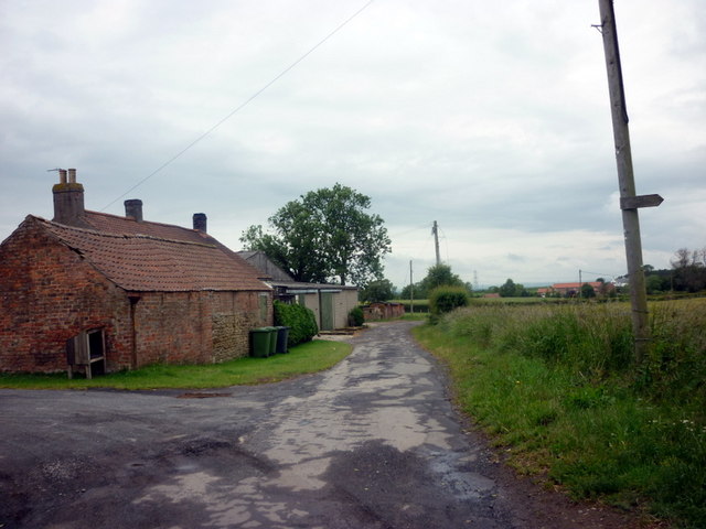
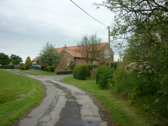
Poor's Land Images
Images are sourced within 2km of 54.105492/-1.1561767 or Grid Reference SE5568. Thanks to Geograph Open Source API. All images are credited.

Poor's Land is located at Grid Ref: SE5568 (Lat: 54.105492, Lng: -1.1561767)
Division: North Riding
Administrative County: North Yorkshire
District: Hambleton
Police Authority: North Yorkshire
What 3 Words
///brief.chuck.barn. Near Easingwold, North Yorkshire
Nearby Locations
Related Wikis

Emergency Planning College
The Emergency Planning College also known as "the Hawkhills" foremost a college, based in the United Kingdom which is involved in activities to promote...

Vale of York (UK Parliament constituency)
Vale of York was a county constituency represented in the House of Commons of the Parliament of the United Kingdom. It elected one Member of Parliament...
Outwood Academy Easingwold
Outwood Academy Easingwold is a mixed 11–18 secondary school with academy status in Easingwold, North Yorkshire, England. It had 663 pupils in 2023, including...

Crayke Castle
Crayke Castle is a Grade I listed 15th-century castle in Crayke, North Yorkshire, England. The castle consists of a restored 15th-century four-storey tower...

St Cuthbert's Church, Crayke
St Cuthbert's Church is in the village of Crayke, North Yorkshire, England. It is an active Anglican parish church in the deanery of Easingwold, the archdeaconry...
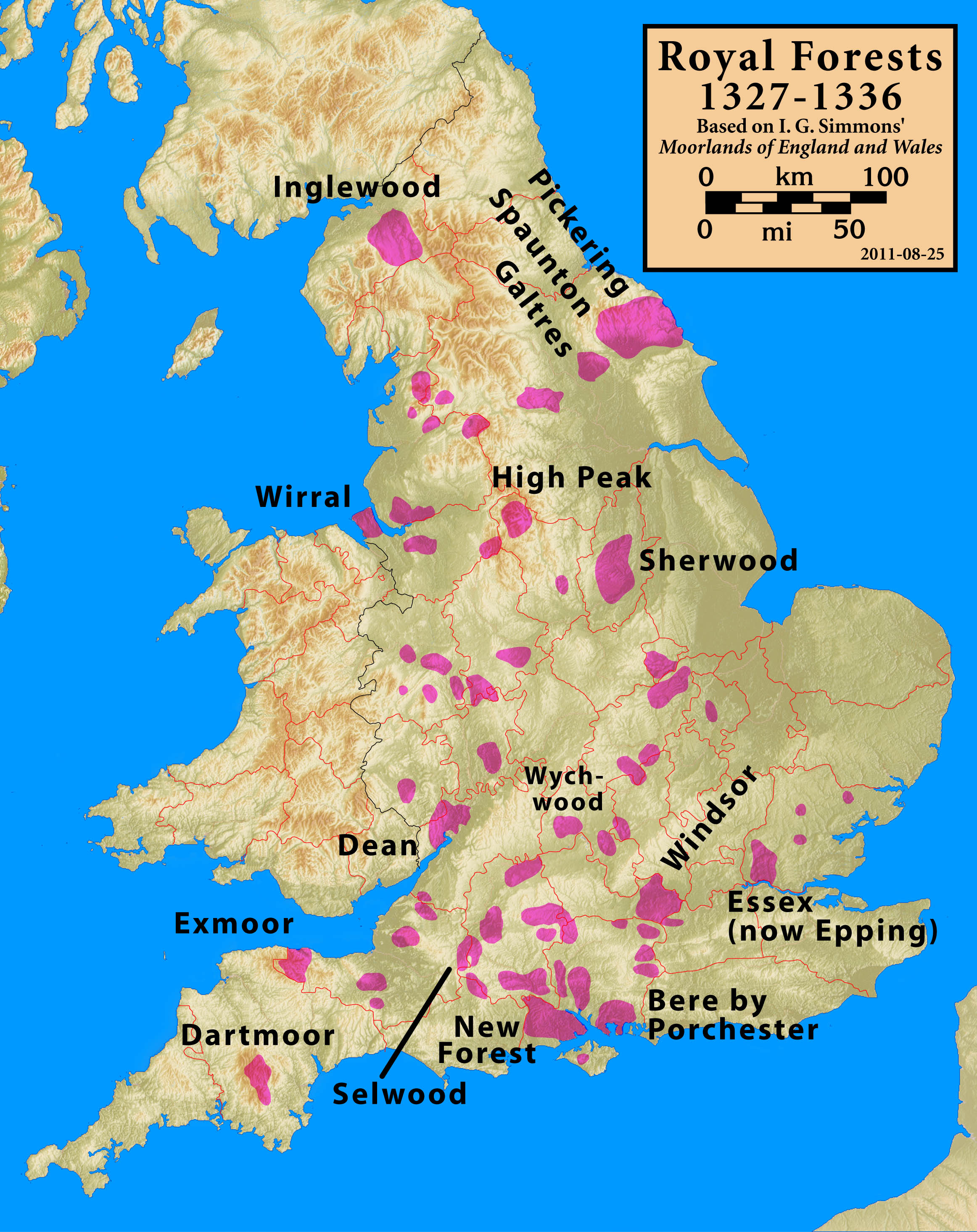
Forest of Galtres
The royal Forest of Galtres was established by the Norman kings of England in North Yorkshire, to the north of the Ancient City of York, extending right...
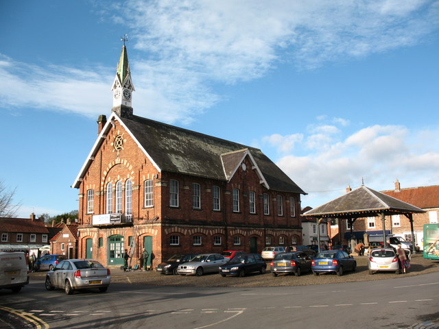
Easingwold
Easingwold is a market town and civil parish in North Yorkshire, England. Historically, part of the North Riding of Yorkshire, it had a population of 4...

Crayke
Crayke is a village and civil parish in North Yorkshire, England, about 2 miles (3.2 km) east of Easingwold. == Etymology == The name Crayke is of Brittonic...
Nearby Amenities
Located within 500m of 54.105492,-1.1561767Have you been to Poor's Land?
Leave your review of Poor's Land below (or comments, questions and feedback).