Hungerford Green
Settlement in Berkshire
England
Hungerford Green
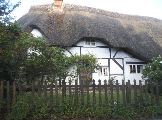
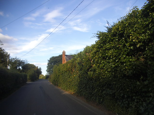
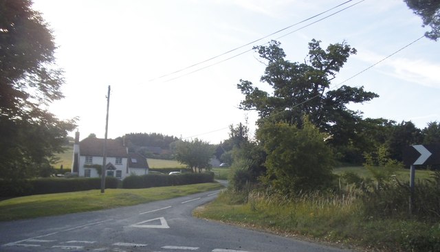
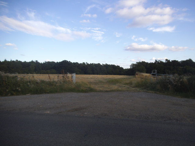
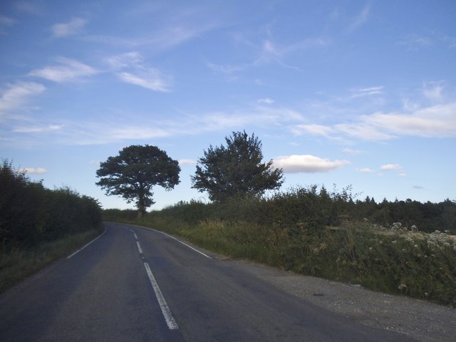
Hungerford Green is a picturesque village located in the county of Berkshire, England. Situated just east of the town of Hungerford, the village is nestled in the heart of the North Wessex Downs Area of Outstanding Natural Beauty.
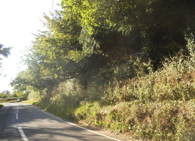
The village is characterized by its charming rural atmosphere and stunning natural surroundings. Lush green fields, rolling hills, and quaint country lanes contribute to the area's idyllic setting. The presence of the Kennet and Avon Canal further enhances the village's beauty, offering opportunities for leisurely walks and boating activities.
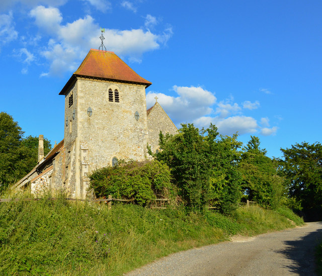
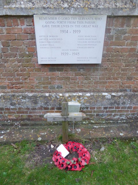
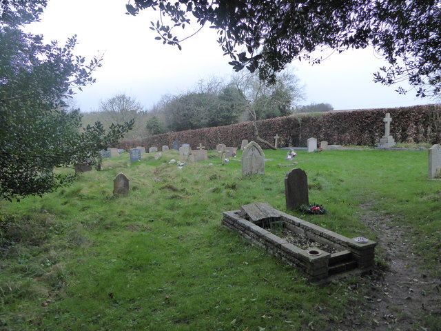
Hungerford Green is home to a close-knit community that takes pride in preserving its rich heritage. The village features a number of historic buildings, including a beautiful 12th-century church, St. Lawrence's Church, which stands as a testament to the area's long-standing history.
Despite its small size, Hungerford Green offers a range of amenities for residents and visitors alike. The village boasts a well-regarded primary school, a village hall that hosts various community events, and a handful of local shops and businesses that cater to everyday needs.
The village's proximity to the larger town of Hungerford provides residents with access to additional amenities, including supermarkets, restaurants, and a wider range of shops. Hungerford Green also benefits from excellent transport links, with easy access to major roadways such as the M4 motorway and the A4.
With its serene ambiance, natural beauty, and strong sense of community, Hungerford Green is a truly charming place to live or visit in Berkshire.
If you have any feedback on the listing, please let us know in the comments section below.
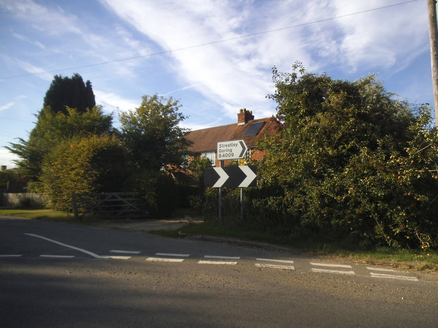
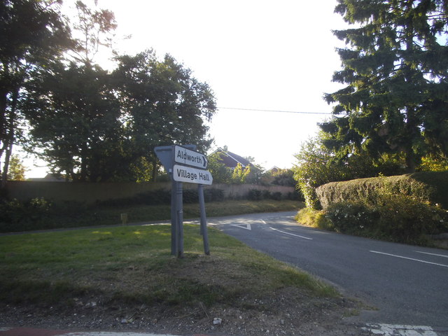
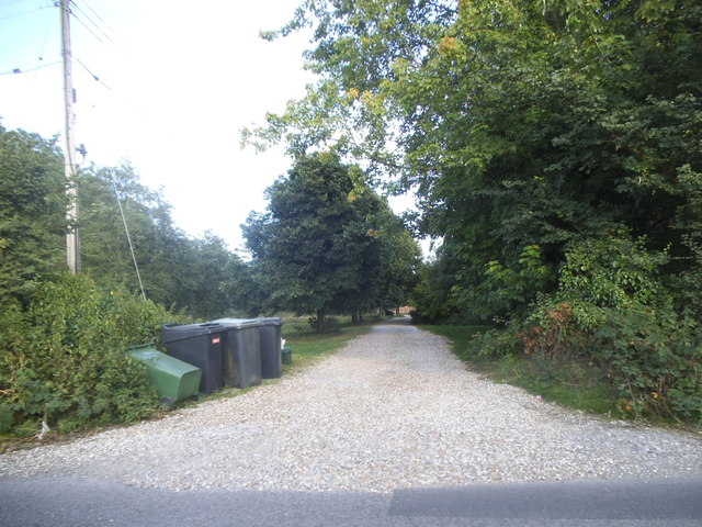
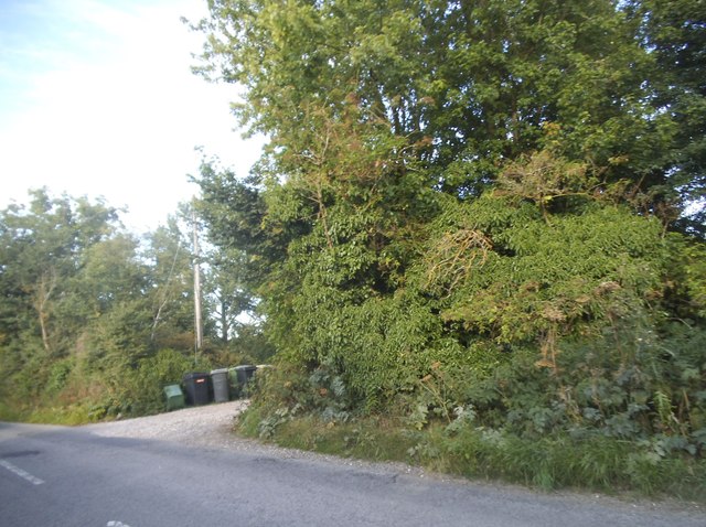
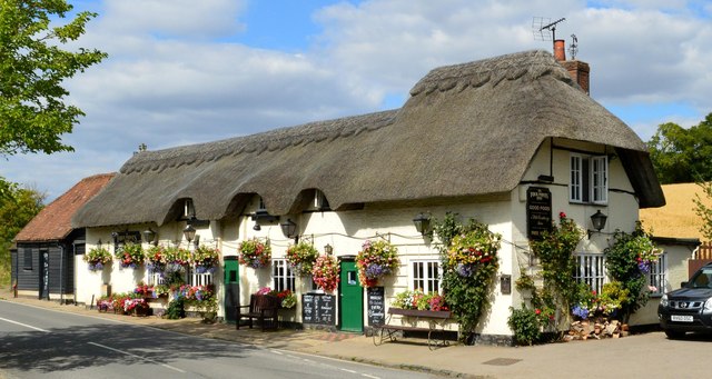
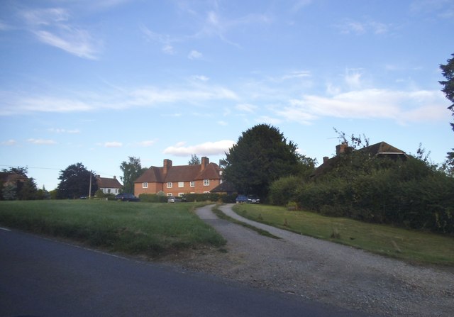
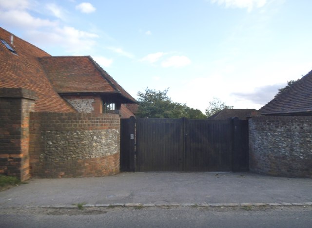
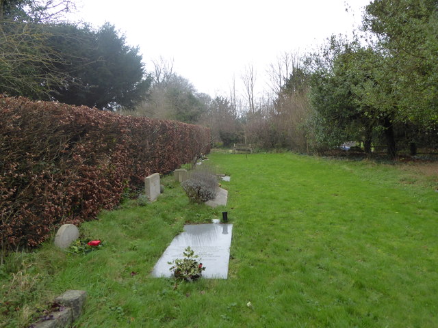
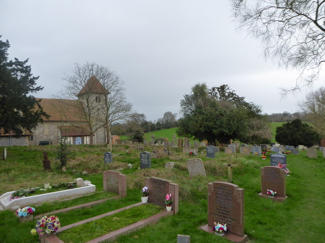
Hungerford Green Images
Images are sourced within 2km of 51.511174/-1.196606 or Grid Reference SU5579. Thanks to Geograph Open Source API. All images are credited.
Hungerford Green is located at Grid Ref: SU5579 (Lat: 51.511174, Lng: -1.196606)
Unitary Authority: West Berkshire
Police Authority: Thames Valley
What 3 Words
///hamper.caressing.ticking. Near Compton, Berkshire
Nearby Locations
Related Wikis
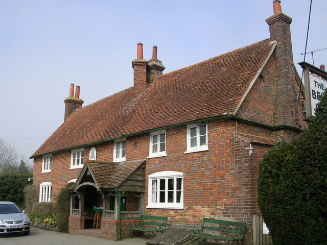
The Bell Inn, Aldworth
The Bell Inn is a pub at the village of Aldworth, in the English county of West Berkshire. It won CAMRA's National Pub of the Year in 1990, and received...

Aldworth
Aldworth is a village and mainly farmland civil parish in the English county of Berkshire, near the boundary with Oxfordshire. == Orthography and slight... ==

Streatley Warren
Streatley Warren is a 31.3-hectare (77-acre) biological Site of Special Scientific Interest west of Streatley in Berkshire. It is in the North Wessex Downs...

Ashampstead
Ashampstead is a small village and civil parish in the rural area between Reading, Newbury and Streatley in Berkshire, England. The parish population is...

Battle of Ashdown
The Battle of Ashdown was a West Saxon victory over a Danish Viking army on about 8 January 871. The location of Ashdown is not known, but may be Kingstanding...

RAF Hampstead Norris
Royal Air Force Hampstead Norris or more simply RAF Hampstead Norris is a former Royal Air Force satellite station located 1.3 miles (2.1 km) north east...

Goring & Streatley Golf Club
Goring & Streatley Golf Club is a golf course in the village of Streatley, in the English county of Berkshire. It takes its name partly from that village...

Lardon Chase, the Holies and Lough Down
Lardon Chase, the Holies and Lough Down is a National Trust countryside property in the English county of Berkshire. It is situated on the edge of the...
Nearby Amenities
Located within 500m of 51.511174,-1.196606Have you been to Hungerford Green?
Leave your review of Hungerford Green below (or comments, questions and feedback).