Aldworth
Civil Parish in Berkshire
England
Aldworth
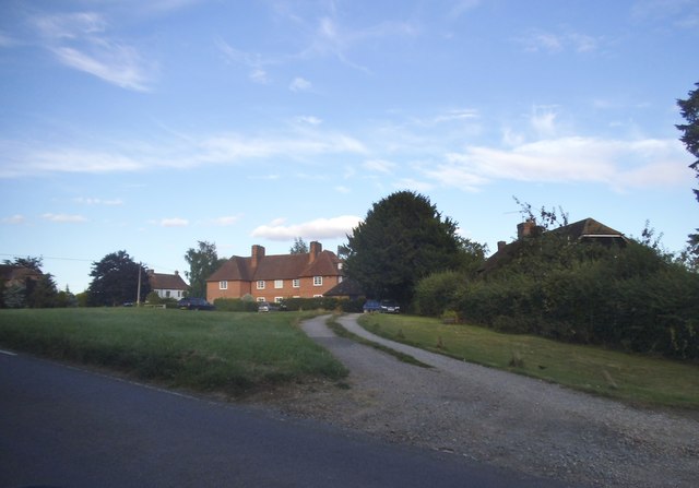
Aldworth is a civil parish located in the county of Berkshire, England. Situated on the western edge of the county, it is surrounded by picturesque countryside and offers stunning views of the nearby Berkshire Downs. The parish covers an area of approximately 4 square miles and is home to a small population of around 300 residents.
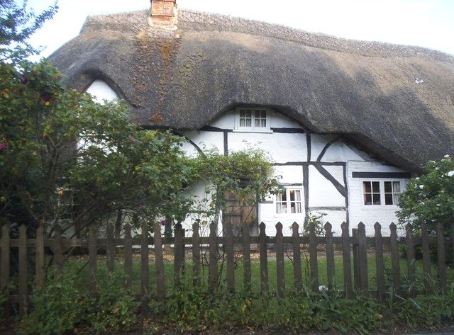
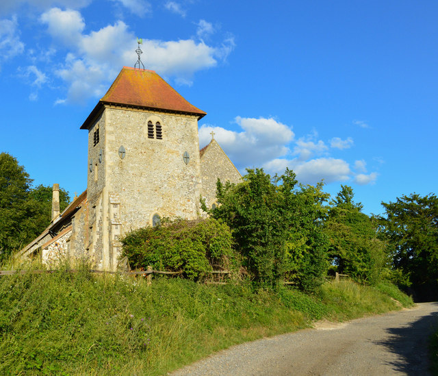
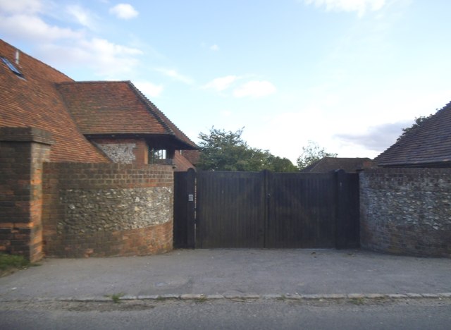
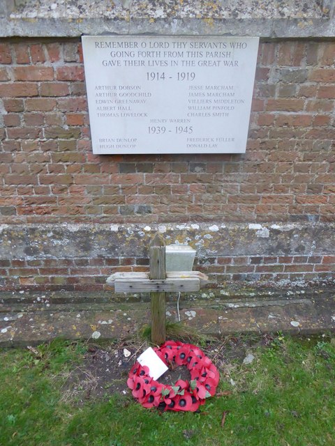
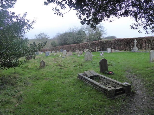
The village of Aldworth itself is a charming and historic settlement, with a rich heritage dating back to the medieval period. The parish church, St. Mary's, is a prominent feature of the village, known for its beautiful architecture and notable stained glass windows. The churchyard is also the final resting place of the famous Victorian poet, Matthew Arnold.
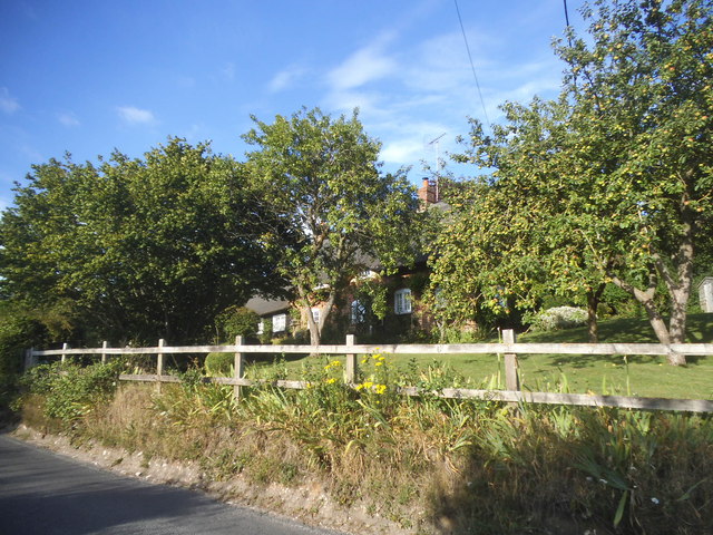
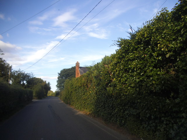
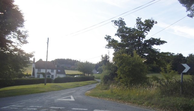
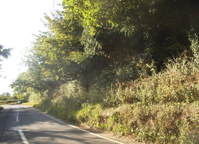
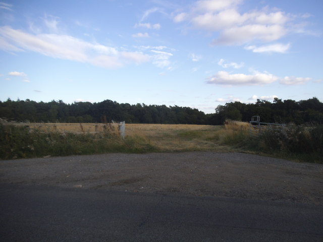
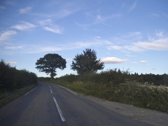
The landscape of Aldworth is predominantly rural, with vast open spaces and rolling hills. The area is renowned for its natural beauty, attracting visitors who enjoy walking, hiking, and exploring the countryside. The nearby Ridgeway Path, one of Britain's oldest known routes, passes through the parish, providing access to stunning views and ancient landmarks.
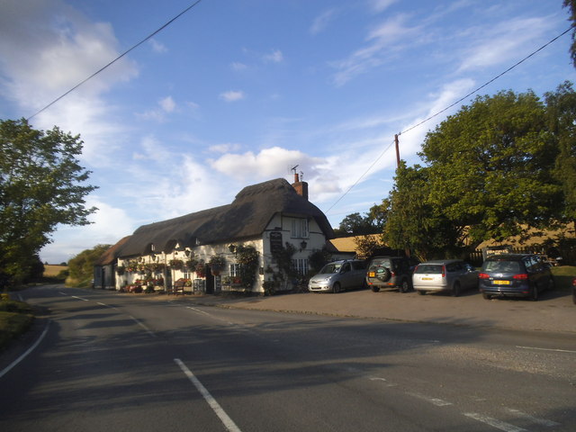
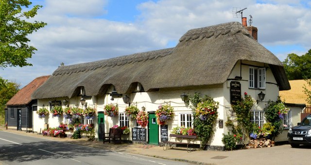
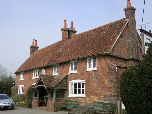
In addition to its natural beauty, Aldworth offers a close-knit community atmosphere. The village has a local pub, The Bell Inn, which serves as a social hub for residents and visitors alike. The parish also hosts a variety of annual events and festivals, including a traditional summer fete and a popular Christmas market.
Aldworth is a peaceful and idyllic location, offering a tranquil escape from the bustle of city life. With its rich history, stunning landscapes, and strong sense of community, it is a place that attracts those seeking a quintessential English village experience.
If you have any feedback on the listing, please let us know in the comments section below.
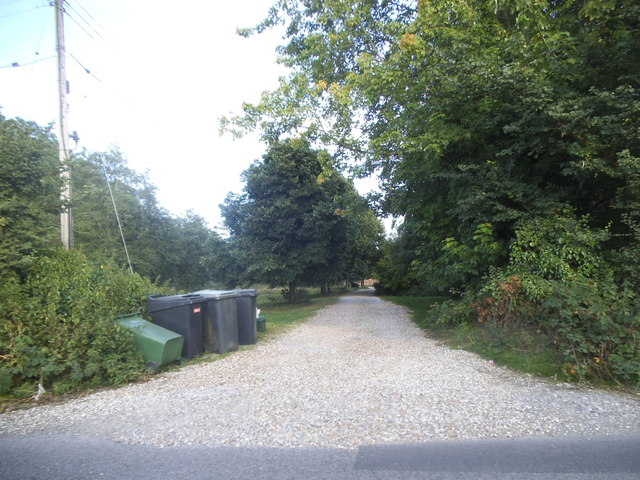
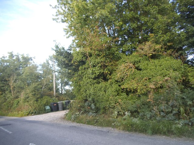
Aldworth Images
Images are sourced within 2km of 51.508793/-1.20479 or Grid Reference SU5579. Thanks to Geograph Open Source API. All images are credited.
Aldworth is located at Grid Ref: SU5579 (Lat: 51.508793, Lng: -1.20479)
Unitary Authority: West Berkshire
Police Authority: Thames Valley
What 3 Words
///fired.salaried.toasted. Near Compton, Berkshire
Nearby Locations
Related Wikis

Aldworth
Aldworth is a village and mainly farmland civil parish in the English county of Berkshire, near the boundary with Oxfordshire. == Orthography and slight... ==
The Bell Inn, Aldworth
The Bell Inn is a pub at the village of Aldworth, in the English county of West Berkshire. It won CAMRA's National Pub of the Year in 1990, and received...

Streatley Warren
Streatley Warren is a 31.3-hectare (77-acre) biological Site of Special Scientific Interest west of Streatley in Berkshire. It is in the North Wessex Downs...

RAF Hampstead Norris
Royal Air Force Hampstead Norris or more simply RAF Hampstead Norris is a former Royal Air Force satellite station located 1.3 miles (2.1 km) north east...

Ashampstead
Ashampstead is a small village and civil parish in the rural area between Reading, Newbury and Streatley in Berkshire, England. The parish population is...

Battle of Ashdown
The Battle of Ashdown was a West Saxon victory over a Danish Viking army on about 8 January 871. The location of Ashdown is not known, but may be Kingstanding...
Compton railway station
Compton railway station was a station on the Didcot, Newbury and Southampton Railway in England. Compton was the largest station between Newbury, Berkshire...
The Living Rainforest
The Living Rainforest is an indoor greenhouse tropical rainforest located in Hampstead Norreys in Berkshire, England. It is an ecological centre, educational...
Nearby Amenities
Located within 500m of 51.508793,-1.20479Have you been to Aldworth?
Leave your review of Aldworth below (or comments, questions and feedback).