Alfold

Civil Parish in Surrey Waverley

England

Alfold

Bungalows on Loxwood Road, Alfold Crossways
Bungalows on Loxwood Road, Alfold Crossways Credit: David Howard

Alfold is a civil parish located in the county of Surrey, England. Situated in the southeastern part of the country, it is a rural area with a population of around 1,700 residents.

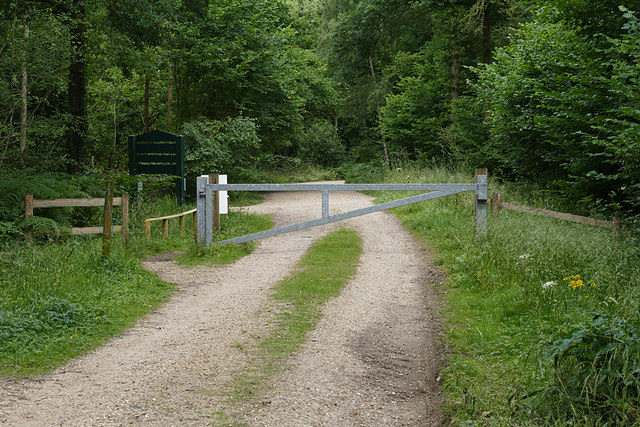
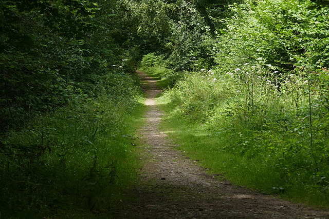
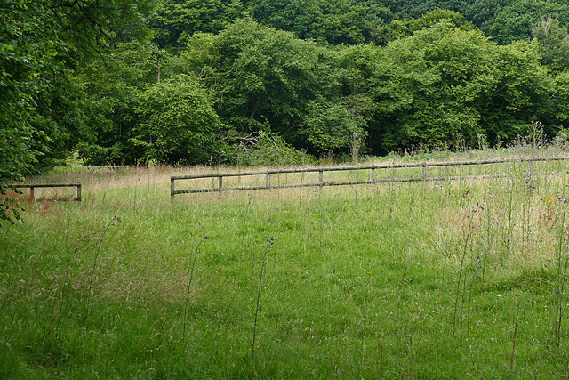
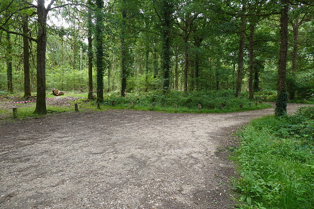
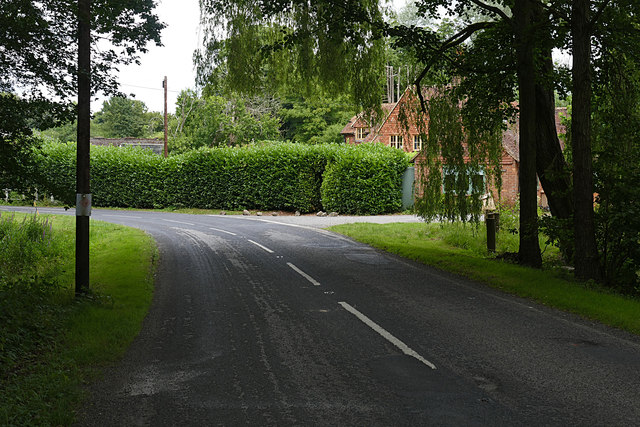
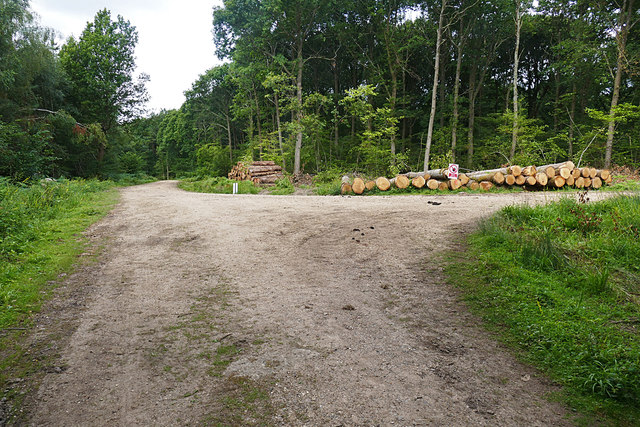
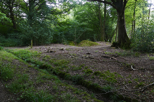
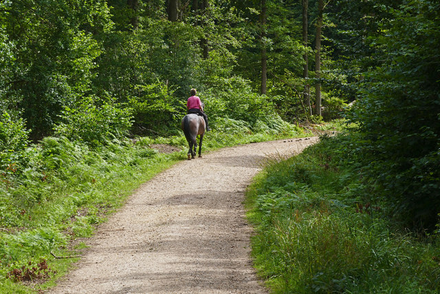
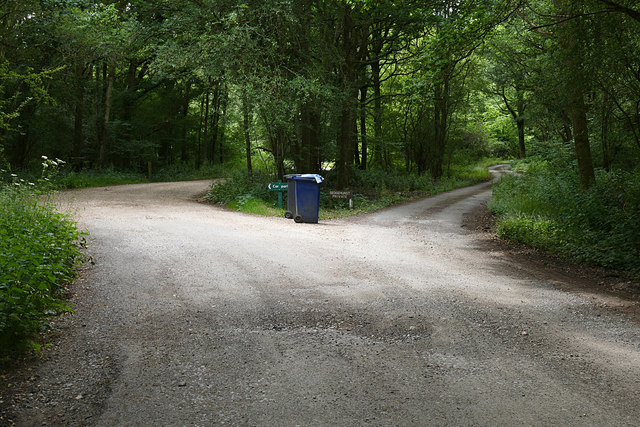
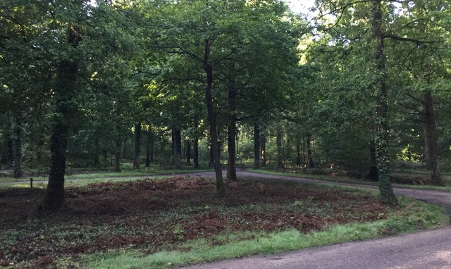
The village of Alfold is known for its picturesque countryside and charming character. It is surrounded by rolling hills, meadows, and woodlands, providing a tranquil and idyllic setting for its inhabitants. The parish is located close to the Surrey Hills Area of Outstanding Natural Beauty, offering residents and visitors numerous opportunities for outdoor activities such as hiking, cycling, and horse riding.

Alfold is predominantly a residential area, with a mix of traditional cottages, farmhouses, and modern housing. The village center features a few local amenities, including a village shop, a primary school, and a pub. For more extensive amenities, the nearby towns of Cranleigh and Godalming are easily accessible.

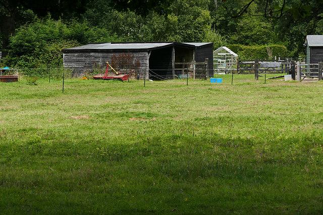
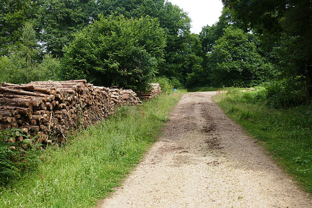
The parish is also home to a number of farms and agricultural land, with farming playing a significant role in the local economy. Alfold is known for its dairy farming and has a cooperative that produces and sells locally sourced milk and other dairy products.

Overall, Alfold offers a peaceful and scenic environment for its residents, with a strong sense of community and a connection to the surrounding natural beauty. It is a popular choice for those seeking a rural lifestyle while still having access to nearby towns and cities.

If you have any feedback on the listing, please let us know in the comments section below.

Alfold Images

Images are sourced within 2km of 51.10768/-0.523382 or Grid Reference TQ0335. Thanks to Geograph Open Source API. All images are credited.

Bungalows on Loxwood Road, Alfold Crossways
Loxwood Road, Alfold Crossways
Dunsfold Airfield gate The gate at the southern end of High Loxley Road.
Dunsfold Airfield gate
The gate at the southern end of High Loxley Road.
Sidney Wood car park The entrance to the car park in Sidney Wood, part of the Forest Enterprise Chiddingfold Forest complex.
Sidney Wood car park
The entrance to the car park in Sidney Wood, part of the Forest Enterprise Chiddingfold Forest complex.
Wood piles, Sidney Wood A track lined with recently harvested wood in this Forest Enterprise wood near Dunsfold.
Wood piles, Sidney Wood
A track lined with recently harvested wood in this Forest Enterprise wood near Dunsfold.
Dunsfold Road The rural road running south of the airfield from the entrance to Sidney Wood.
Dunsfold Road
The rural road running south of the airfield from the entrance to Sidney Wood.
Barrier, Sidney Wood A barrier across the track into Sidney Wood with the entrance to the carpark on the left just beyond.
Barrier, Sidney Wood
A barrier across the track into Sidney Wood with the entrance to the carpark on the left just beyond.
Overgrown track, Sidney Wood A shaded track through Sidney Wood. The left hand side was clear felled in the 1990s, now it is impenetrable.
Overgrown track, Sidney Wood
A shaded track through Sidney Wood. The left hand side was clear felled in the 1990s, now it is impenetrable.
Old paddock, Sidney Wood One of the paddocks off Sachell Hill, a public right of way near Sidney Wood.
Old paddock, Sidney Wood
One of the paddocks off Sachell Hill, a public right of way near Sidney Wood.
Sidney Wood car park The car park in the Forest Enterprise Sidney Wood.
Sidney Wood car park
The car park in the Forest Enterprise Sidney Wood.
Dunsfold Road Looking north towards Tickners Heath Farm.
Dunsfold Road
Looking north towards Tickners Heath Farm.
Forest Tracks, Sidney Wood The junction of two of the main forest tracks through Sidney Wood.
Forest Tracks, Sidney Wood
The junction of two of the main forest tracks through Sidney Wood.
Sachellhill Lane The junction of Sachelhill Lane, a footpath running along the east side of Sidney Wood, with the footpath off to the right towards Alfold.
Sachellhill Lane
The junction of Sachelhill Lane, a footpath running along the east side of Sidney Wood, with the footpath off to the right towards Alfold.
Paddocks, Sedgehurst The Paddocks of Sedgehurst, a property enclosed within the Forest Enterprise Sidney Wood.
Paddocks, Sedgehurst
The Paddocks of Sedgehurst, a property enclosed within the Forest Enterprise Sidney Wood.
Horse rider, Sidney Wood A horse rider on one of the main forestry tracks running through Sidney Wood.
Horse rider, Sidney Wood
A horse rider on one of the main forestry tracks running through Sidney Wood.
Sidney Wood, Dunsfold The main north south forestry track through Sidney Wood approaching the junction with the east west track.
Sidney Wood, Dunsfold
The main north south forestry track through Sidney Wood approaching the junction with the east west track.
The road to Sedgehurst The private road to Sedgehurst, a smallholding in Sidney Wood branching off from the car park access track.
The road to Sedgehurst
The private road to Sedgehurst, a smallholding in Sidney Wood branching off from the car park access track.
Sidney Wood Car Park Early morning at the car park.
Sidney Wood Car Park
Early morning at the car park.
Show me another place!

Alfold is located at Grid Ref: TQ0335 (Lat: 51.10768, Lng: -0.523382)

Administrative County: Surrey

District: Waverley

Police Authority: Surrey

What 3 Words

///thickens.hydration.heartened. Near Cranleigh, Surrey

Related Wikis

Alfold F.C.

Alfold Football Club is a football club based in Alfold, Surrey, England. They are currently members of the Southern Combination Division One and play...

Wey and Arun Canal

The Wey and Arun Canal is a partially open, 23-mile-long (37 km) canal in the southeast of England. It runs southwards from the River Wey at Gunsmouth...

London to Portsmouth canal

The London to Portsmouth canal was a concept for the construction of a secure inland canal route from the British capital of London to the headquarters...

Dunsfold Aerodrome

Dunsfold Aerodrome (former ICAO code EGTD) is an unlicensed airfield in Surrey, England, near the village of Cranleigh. It extends across land in the villages...

Fir Tree Copse

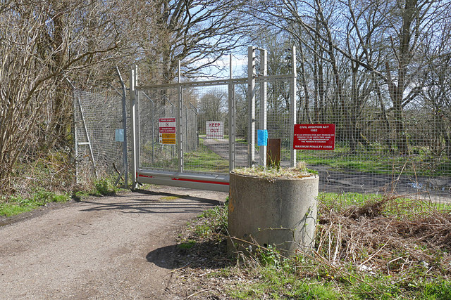
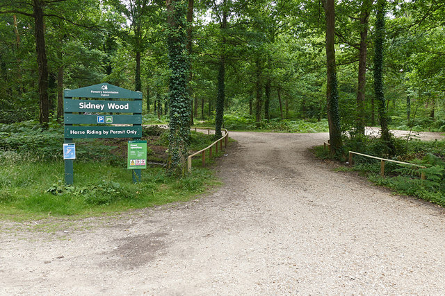
Fir Tree Copse is a 6-hectare (15-acre) nature reserve south-east of Dunsfold in Surrey. It is managed by the Surrey Wildlife Trust and is part of the...

Alfold

Alfold is a village and civil parish in Surrey, England on the West Sussex border. Alfold is a dispersed or polyfocal village in the Green Belt, which...

Top Gear test track

The Top Gear test track is used by the BBC automotive television programme Top Gear. It is located at Dunsfold Aerodrome in Surrey, United Kingdom. The...

Rikkyo School in England

Rikkyo School in England (立教英国学院, Rikkyō Eikoku Gakuin) is a Japanese boarding primary and secondary school in Rudgwick, Horsham District, West Sussex...

Related Videos

Merry Christmas & Happy New Year

We would like to thank you all for your custom this year and wish you a very happy holiday. Best wishes. From everyone at MHH ...

SDTV’s Landor Experience- Exploring a 747!

landorexperience #britishairways #boeing #queenoftheskies #jumbojet #britshairways747 #747tour Hi all! Welcome to today's ...

on the Top Gear runway at Dunsfold.

I don't know how much my boss paid for it, but it must have been quite a few bob!!! For more travel videos from all over the world ...

Nearby Amenities

Located within 500m of 51.10768,-0.523382
Addr Housenumber: 1
Lat/Long: 51.1094631/-0.5168109
Lower Seven Acre Copse
Natural: wood
Lat/Long: 51.1084715/-0.5275227
Eleven Acre Copse
Natural: wood
Lat/Long: 51.1068211/-0.5266215
Addr Housename: East View
Addr Housenumber: 1
Lat/Long: 51.1093744/-0.5174337
Addr Housenumber: 2
Lat/Long: 51.1093202/-0.5173597
Addr Housename: Bluebells
Lat/Long: 51.1091287/-0.5170855
Addr Housename: Byways
Lat/Long: 51.1090852/-0.5170162
Addr Housename: Arbre
Lat/Long: 51.1088966/-0.5167605
Addr Housename: Hedgerow
Lat/Long: 51.1088076/-0.5166233
The data included in this document is from www.openstreetmap.org. The data is made available under ODbL.

Have you been to Alfold?

Leave your review of Alfold below (or comments, questions and feedback).