Laker's Green

Wood, Forest in Surrey Waverley

England

Laker's Green

Bungalows on Loxwood Road, Alfold Crossways
Bungalows on Loxwood Road, Alfold Crossways Credit: David Howard

Laker's Green is a charming residential area located in Surrey, England. Nestled within the larger Wood, Forest area, this idyllic neighborhood offers a tranquil and green environment for its residents to enjoy.

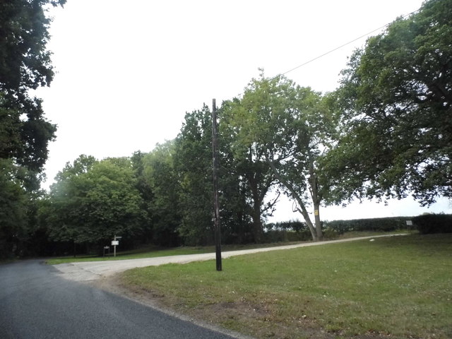
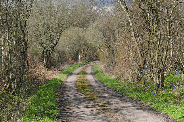
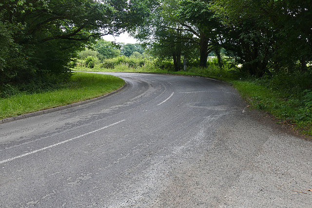
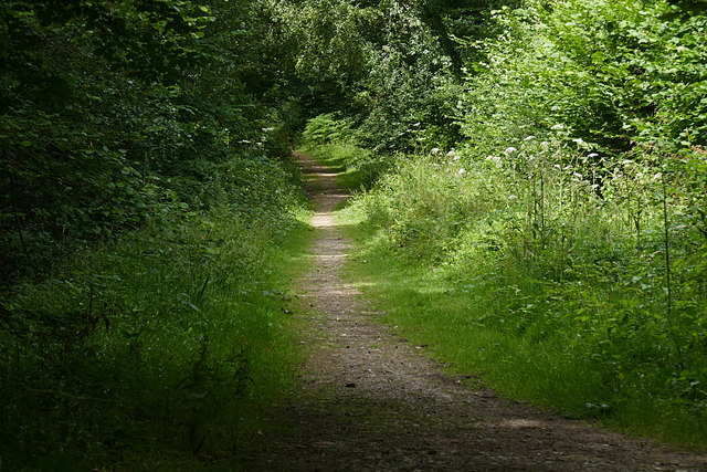
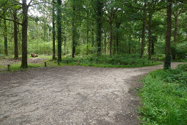
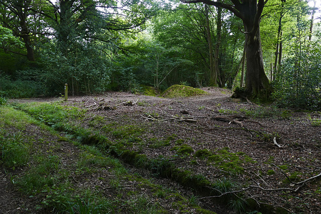
The area derives its name from the picturesque Laker's Green, a small grassy area that serves as a focal point for the community. Surrounded by lush woodlands and towering trees, this green space provides a serene setting for leisurely walks, picnics, and outdoor activities.

Laker's Green boasts an array of residential properties, ranging from quaint cottages to modern family homes. The architecture is diverse, reflecting the area's rich history and evolving character. Many properties in the neighborhood offer spacious gardens, allowing residents to immerse themselves in nature and create their own private oasis.

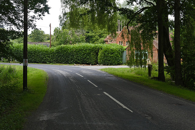
Residents of Laker's Green benefit from the area's proximity to various amenities. The nearby town of Wood, Forest offers a range of shops, restaurants, and services, ensuring that all essential needs are met. Additionally, the neighborhood is well-connected to public transportation, making it convenient for commuters to access nearby towns and cities.

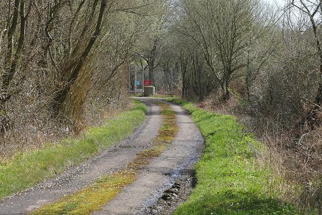
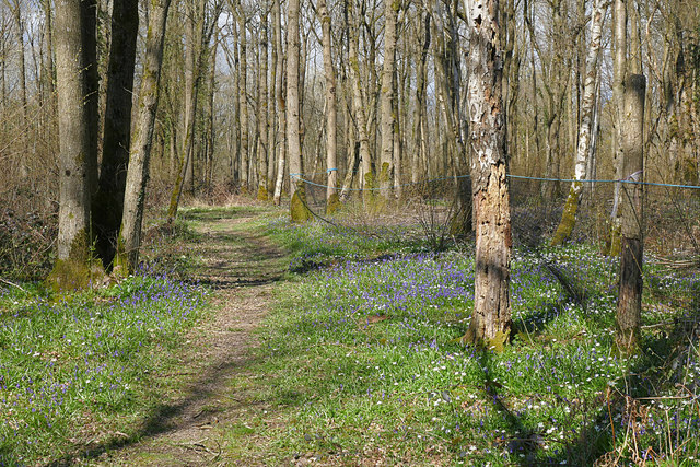
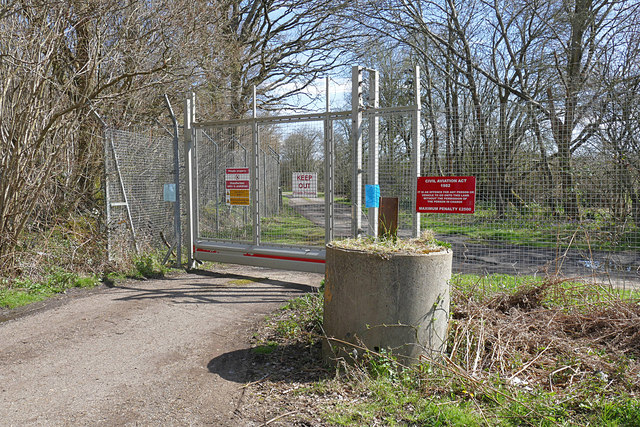
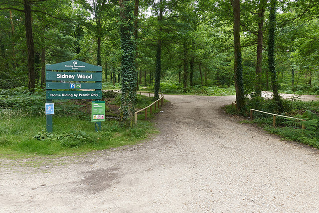
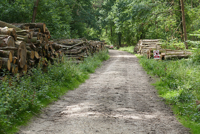
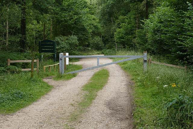
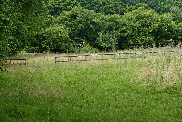
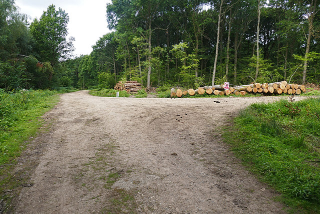
Nature enthusiasts will find themselves in paradise in Laker's Green. The surrounding woodlands provide ample opportunities for outdoor activities such as hiking, cycling, and birdwatching. The area is also home to several nature reserves, offering a chance to observe and appreciate the local wildlife.

In summary, Laker's Green in Surrey is a charming and peaceful neighborhood, surrounded by nature and offering a high quality of life for its residents. Its green spaces, diverse architecture, and convenient location make it an attractive place to call home.

If you have any feedback on the listing, please let us know in the comments section below.

Laker's Green Images

Images are sourced within 2km of 51.112467/-0.52235469 or Grid Reference TQ0335. Thanks to Geograph Open Source API. All images are credited.

Bungalows on Loxwood Road, Alfold Crossways
Loxwood Road, Alfold Crossways
Alfold Road south of Cranleigh
High Loxley Road Looking south towards the Dunsfold Airfield gate.
High Loxley Road
Looking south towards the Dunsfold Airfield gate.
Solar Farm near Dunsfold Airfield The solar farm north of Dunsfold Airfield.
Solar Farm near Dunsfold Airfield
The solar farm north of Dunsfold Airfield.
Sayer's Land near Dunsfold Sayer's Land woods carpeted with bluebells, wood anemones and celandine in the spring sunshine.
Sayer's Land near Dunsfold
Sayer's Land woods carpeted with bluebells, wood anemones and celandine in the spring sunshine.
Dunsfold Airfield gate The gate at the southern end of High Loxley Road.
Dunsfold Airfield gate
The gate at the southern end of High Loxley Road.
High Loxley Road, Dunsfold Looking north along the road from Dunsfold Airfield past High Loxley to Pratt's Corner.
High Loxley Road, Dunsfold
Looking north along the road from Dunsfold Airfield past High Loxley to Pratt's Corner.
Sidney Wood car park The entrance to the car park in Sidney Wood, part of the Forest Enterprise Chiddingfold Forest complex.
Sidney Wood car park
The entrance to the car park in Sidney Wood, part of the Forest Enterprise Chiddingfold Forest complex.
Wood piles, Sidney Wood A track lined with recently harvested wood in this Forest Enterprise wood near Dunsfold.
Wood piles, Sidney Wood
A track lined with recently harvested wood in this Forest Enterprise wood near Dunsfold.
Dunsfold Road The rural road running south of the airfield from the entrance to Sidney Wood.
Dunsfold Road
The rural road running south of the airfield from the entrance to Sidney Wood.
Barrier, Sidney Wood A barrier across the track into Sidney Wood with the entrance to the carpark on the left just beyond.
Barrier, Sidney Wood
A barrier across the track into Sidney Wood with the entrance to the carpark on the left just beyond.
Overgrown track, Sidney Wood A shaded track through Sidney Wood. The left hand side was clear felled in the 1990s, now it is impenetrable.
Overgrown track, Sidney Wood
A shaded track through Sidney Wood. The left hand side was clear felled in the 1990s, now it is impenetrable.
Old paddock, Sidney Wood One of the paddocks off Sachell Hill, a public right of way near Sidney Wood.
Old paddock, Sidney Wood
One of the paddocks off Sachell Hill, a public right of way near Sidney Wood.
Sidney Wood car park The car park in the Forest Enterprise Sidney Wood.
Sidney Wood car park
The car park in the Forest Enterprise Sidney Wood.
Dunsfold Road Looking north towards Tickners Heath Farm.
Dunsfold Road
Looking north towards Tickners Heath Farm.
Forest Tracks, Sidney Wood The junction of two of the main forest tracks through Sidney Wood.
Forest Tracks, Sidney Wood
The junction of two of the main forest tracks through Sidney Wood.
Sachellhill Lane The junction of Sachelhill Lane, a footpath running along the east side of Sidney Wood, with the footpath off to the right towards Alfold.
Sachellhill Lane
The junction of Sachelhill Lane, a footpath running along the east side of Sidney Wood, with the footpath off to the right towards Alfold.
Show me another place!

Laker's Green is located at Grid Ref: TQ0335 (Lat: 51.112467, Lng: -0.52235469)

Administrative County: Surrey

District: Waverley

Police Authority: Surrey

What 3 Words

///originals.slant.happen. Near Cranleigh, Surrey

Related Wikis

Wey and Arun Canal

The Wey and Arun Canal is a partially open, 23-mile-long (37 km) canal in the southeast of England. It runs southwards from the River Wey at Gunsmouth...

London to Portsmouth canal

The London to Portsmouth canal was a concept for the construction of a secure inland canal route from the British capital of London to the headquarters...

Alfold F.C.

Alfold Football Club is a football club based in Alfold, Surrey, England. They are currently members of the Southern Combination Division One and play...

Dunsfold Aerodrome

Dunsfold Aerodrome (former ICAO code EGTD) is an unlicensed airfield in Surrey, England, near the village of Cranleigh. It extends across land in the villages...

Top Gear test track

The Top Gear test track is used by the BBC automotive television programme Top Gear. It is located at Dunsfold Aerodrome in Surrey, United Kingdom. The...

Fir Tree Copse

Fir Tree Copse is a 6-hectare (15-acre) nature reserve south-east of Dunsfold in Surrey. It is managed by the Surrey Wildlife Trust and is part of the...

Alfold

Alfold is a village and civil parish in Surrey, England on the West Sussex border. Alfold is a dispersed or polyfocal village in the Green Belt, which...

Dunsfold

Dunsfold is a village in the borough of Waverley, Surrey, England, 8.7 miles (14.0 kilometres) south of Guildford. It lies in the Weald and reaches in...

Nearby Amenities

Located within 500m of 51.112467,-0.52235469
Pub
The Three Compasses
Addr City: Cranleigh
Addr County: Surrey
Addr Postcode: GU6 8HY
Addr Street: Dunsfold Road
Addr Suburb: Alfold
Fhrs Id: 181836
Source Addr: FHRS Open Data
Lat/Long: 51.1135722/-0.5221412
Lakers Green
Place: hamlet
Source: npe
Lat/Long: 51.113791/-0.5223321
Post Box
Brand: Royal Mail
Brand Wikidata: Q638098
Brand Wikipedia: en:Royal Mail
Collection Times: Mo-Fr 09:00; Sa 07:00
Operator: Royal Mail
Operator Wikidata: Q638098
Post Box Mounting: pier
Post Box Type: lamp
Ref: GU6 299D
Royal Cypher: EIIR
Royal Cypher Wikidata: Q33102113
Lat/Long: 51.1131469/-0.5221635
Traffic Signals
Lat/Long: 51.114425/-0.5284139
Traffic Signals
Lat/Long: 51.114261/-0.5279014
Traffic Signals
Lat/Long: 51.1142328/-0.5282944
Traffic Signals
Lat/Long: 51.1145201/-0.5279692
Entrance: yes
Lat/Long: 51.1134763/-0.5256679
Entrance: yes
Lat/Long: 51.113519/-0.5250638
Give Way
Direction: backward
Lat/Long: 51.1125408/-0.5219999
Addr Housename: East View
Addr Housenumber: 1
Lat/Long: 51.1093744/-0.5174337
Addr Housenumber: 2
Lat/Long: 51.1093202/-0.5173597
The data included in this document is from www.openstreetmap.org. The data is made available under ODbL.

Have you been to Laker's Green?

Leave your review of Laker's Green below (or comments, questions and feedback).