Eleven Acre Copse
Wood, Forest in Surrey Waverley
England
Eleven Acre Copse

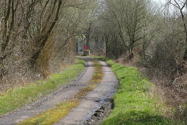
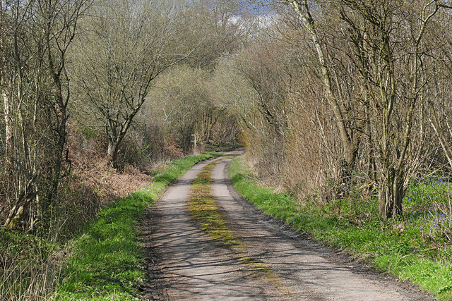
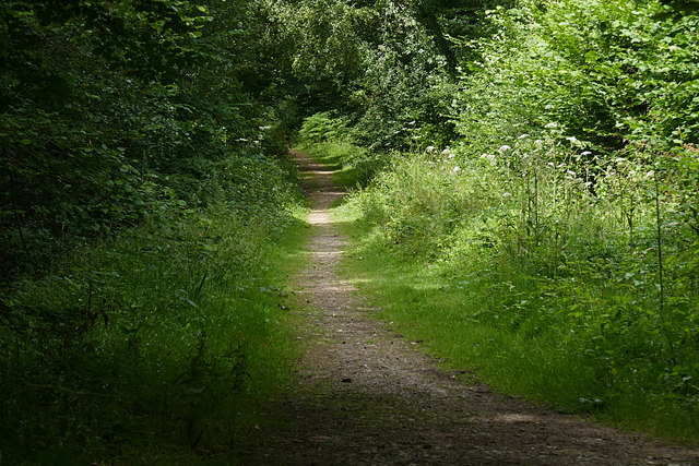
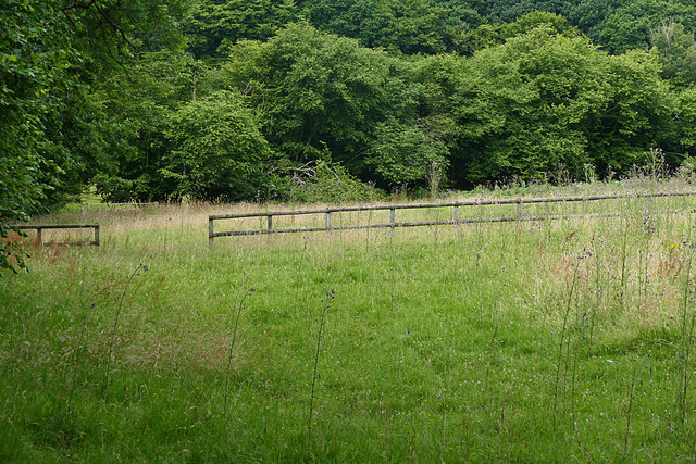
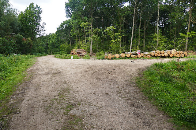
Eleven Acre Copse, located in Surrey, England, is a picturesque woodland area covering approximately eleven acres. Situated in the heart of the Surrey Hills Area of Outstanding Natural Beauty, this copse is a haven for nature lovers and outdoor enthusiasts.
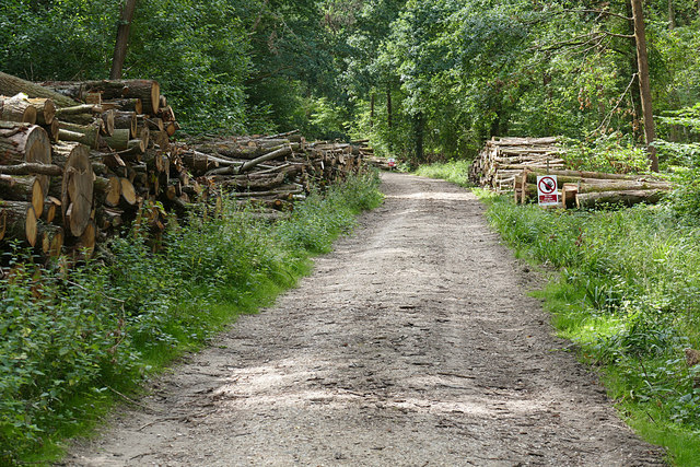
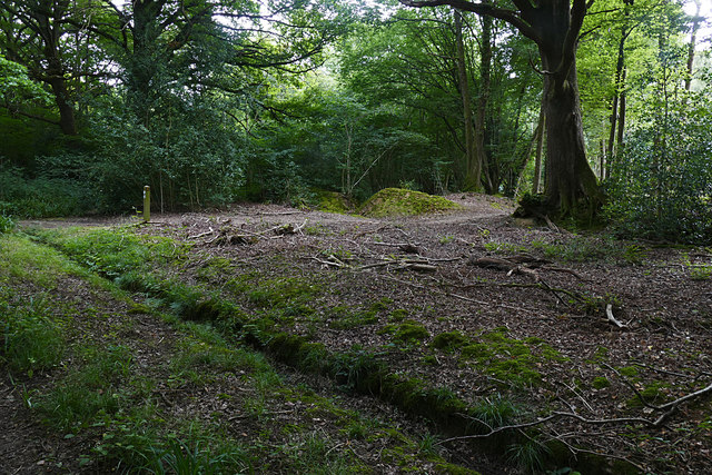
The woodland is predominantly composed of oak and beech trees, creating a dense canopy that provides a sheltered and peaceful environment. The forest floor is covered with a rich carpet of moss, ferns, and wildflowers, adding to the area's natural beauty.
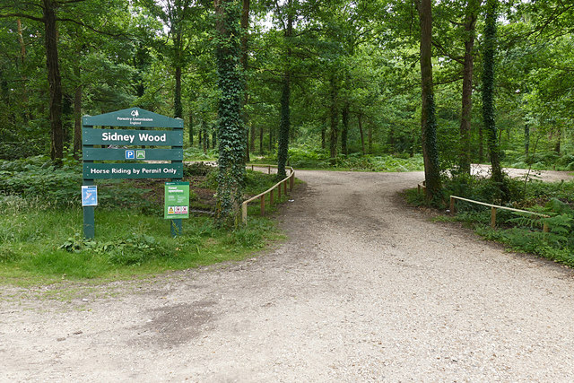
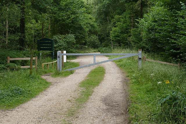
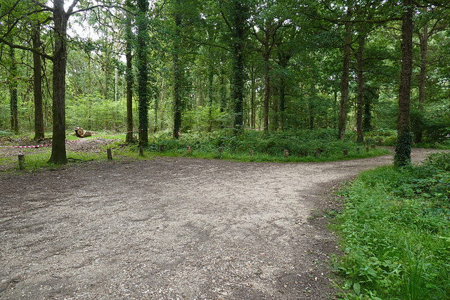
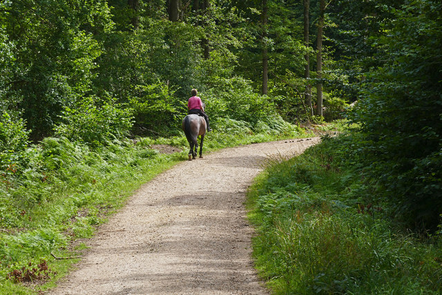
Eleven Acre Copse offers a range of activities for visitors to enjoy. There are several well-marked walking trails that wind through the woods, allowing visitors to explore the diverse flora and fauna. Birdwatchers will delight in the variety of avian species that call the copse home, including woodpeckers, owls, and various woodland songbirds.
The copse is also home to a small stream that meanders through the forest, creating a tranquil atmosphere and providing a habitat for amphibians and insects. This stream offers a peaceful spot for visitors to relax and enjoy the soothing sounds of nature.
The copse is well-maintained, with designated picnic areas and benches throughout, allowing visitors to pause and appreciate the natural surroundings. It is also a popular spot for photography enthusiasts, who can capture the beauty of the woodland throughout the changing seasons.
Overall, Eleven Acre Copse is a captivating woodland area in Surrey that offers a tranquil escape from the hustle and bustle of everyday life. Its diverse flora and fauna, well-maintained trails, and peaceful atmosphere make it a must-visit destination for nature enthusiasts and those seeking a serene outdoor experience.
If you have any feedback on the listing, please let us know in the comments section below.
Eleven Acre Copse Images
Images are sourced within 2km of 51.106746/-0.52653678 or Grid Reference TQ0335. Thanks to Geograph Open Source API. All images are credited.

Eleven Acre Copse is located at Grid Ref: TQ0335 (Lat: 51.106746, Lng: -0.52653678)
Administrative County: Surrey
District: Waverley
Police Authority: Surrey
What 3 Words
///inversely.encodes.generals. Near Cranleigh, Surrey
Nearby Locations
Related Wikis

Alfold F.C.
Alfold Football Club is a football club based in Alfold, Surrey, England. They are currently members of the Southern Combination Division One and play...

Fir Tree Copse
Fir Tree Copse is a 6-hectare (15-acre) nature reserve south-east of Dunsfold in Surrey. It is managed by the Surrey Wildlife Trust and is part of the...

Dunsfold Aerodrome
Dunsfold Aerodrome (former ICAO code EGTD) is an unlicensed airfield in Surrey, England, near the village of Cranleigh. It extends across land in the villages...

Wey and Arun Canal
The Wey and Arun Canal is a partially open, 23-mile-long (37 km) canal in the southeast of England. It runs southwards from the River Wey at Gunsmouth...

London to Portsmouth canal
The London to Portsmouth canal was a concept for the construction of a secure inland canal route from the British capital of London to the headquarters...

Alfold
Alfold is a village and civil parish in Surrey, England on the West Sussex border. Alfold is a dispersed or polyfocal village in the Green Belt, which...

Top Gear test track
The Top Gear test track is used by the BBC automotive television programme Top Gear. It is located at Dunsfold Aerodrome in Surrey, United Kingdom. The...

Dunsfold
Dunsfold is a village in the borough of Waverley, Surrey, England, 8.7 miles (14.0 kilometres) south of Guildford. It lies in the Weald and reaches in...
Related Videos

Merry Christmas & Happy New Year
We would like to thank you all for your custom this year and wish you a very happy holiday. Best wishes. From everyone at MHH ...

SDTV’s Landor Experience- Exploring a 747!
landorexperience #britishairways #boeing #queenoftheskies #jumbojet #britshairways747 #747tour Hi all! Welcome to today's ...

on the Top Gear runway at Dunsfold.
I don't know how much my boss paid for it, but it must have been quite a few bob!!! For more travel videos from all over the world ...
Nearby Amenities
Located within 500m of 51.106746,-0.52653678Have you been to Eleven Acre Copse?
Leave your review of Eleven Acre Copse below (or comments, questions and feedback).