Aldwincle
Settlement in Northamptonshire
England
Aldwincle
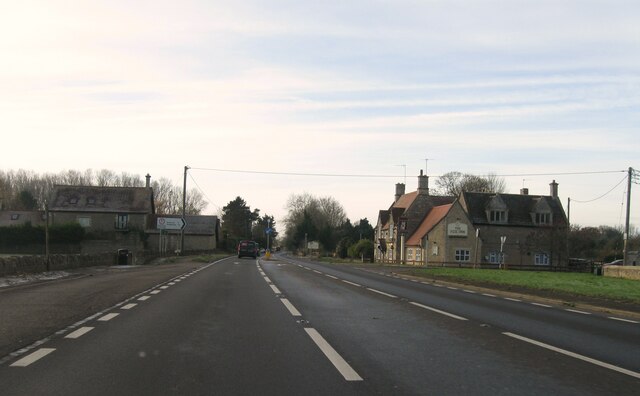
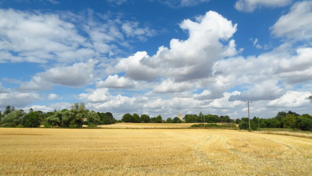
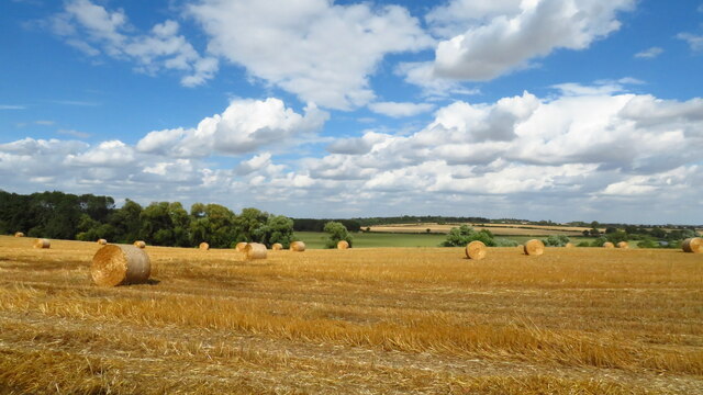
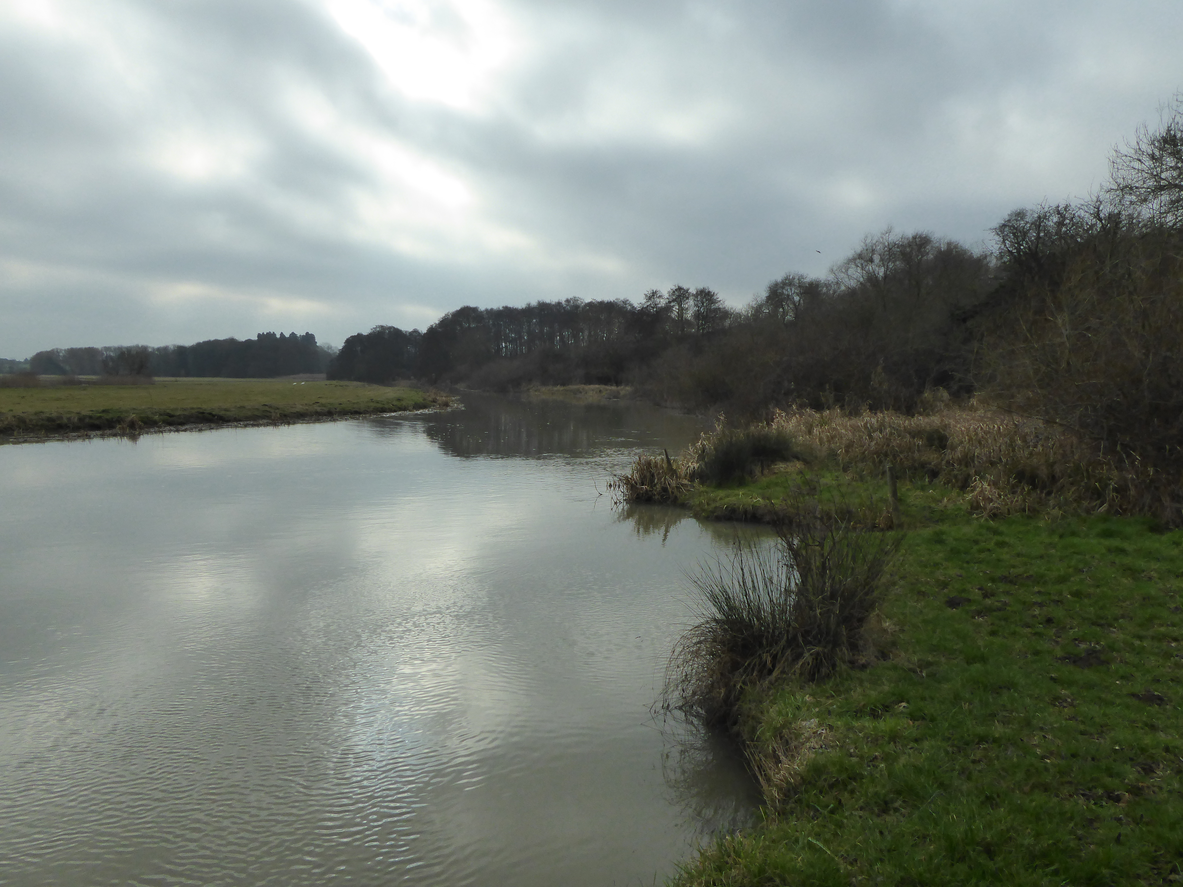
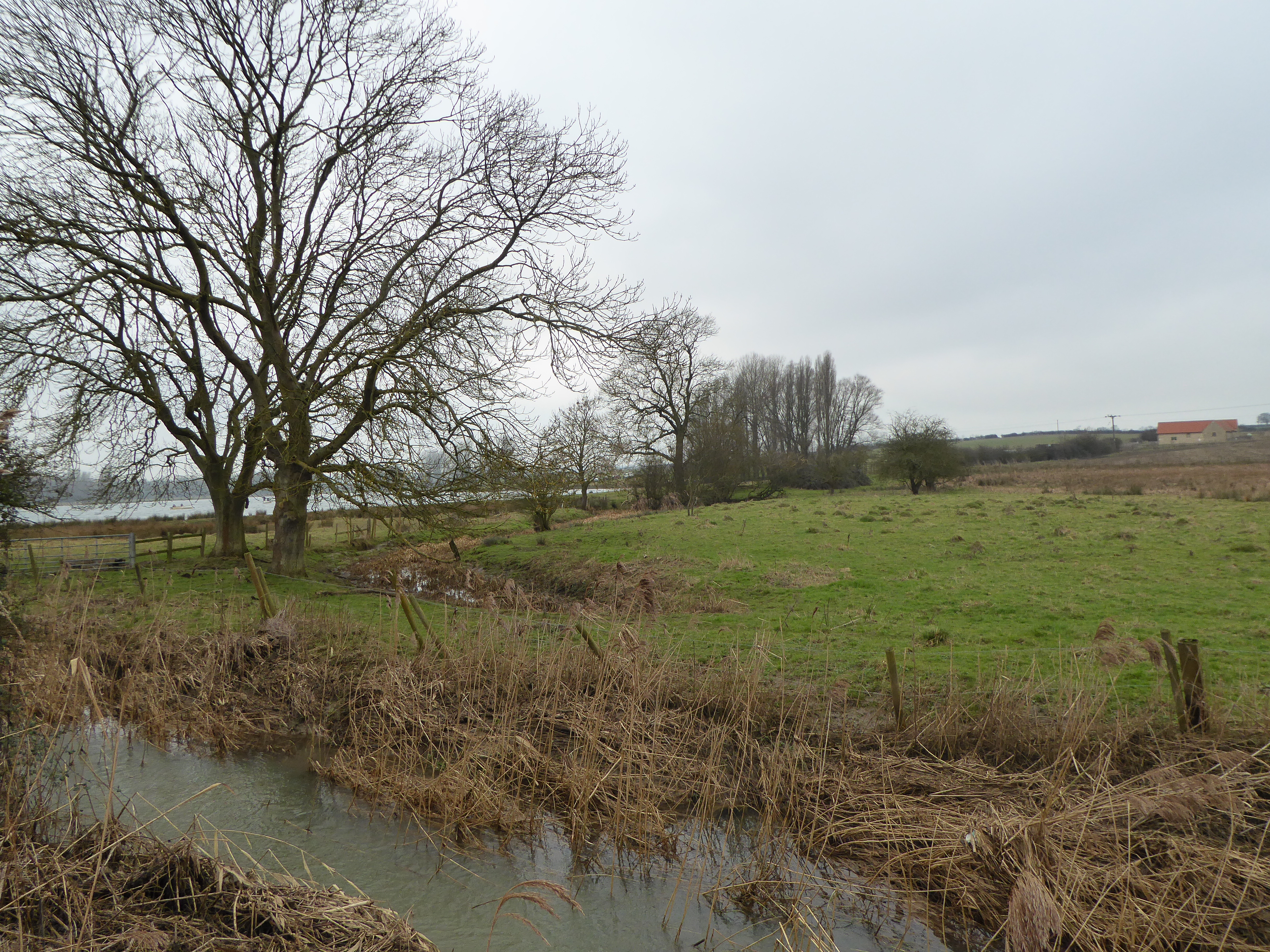
Aldwincle is a small village located in Northamptonshire, a county in the East Midlands region of England. Situated on the River Nene, Aldwincle is part of the East Northamptonshire district and is approximately 10 miles northeast of the market town of Thrapston. The village is surrounded by picturesque countryside, offering beautiful views and a tranquil atmosphere.
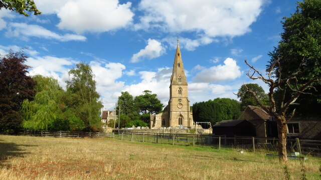
Aldwincle has a rich history that dates back to the Saxon era. The village is mentioned in the Domesday Book of 1086 as "Aldencla", which means "the hill frequented by swans". The most prominent historical landmark in the village is the All Saints' Church, a Grade I listed building known for its stunning architecture and stained glass windows.
The community within Aldwincle is tight-knit and friendly, with a population of around 300 residents. The village is home to a primary school, providing education for local children. There is also a village hall that serves as a hub for various community activities and events.
Despite its small size, Aldwincle offers a range of amenities for its residents. The village has a pub, The Fox and Hounds, which is a popular spot for locals and visitors alike. Outdoor enthusiasts can explore the nearby countryside, with walking trails and cycling routes available.
Overall, Aldwincle is a charming village that offers a peaceful and idyllic lifestyle for its residents. With its rich history, natural beauty, and strong sense of community, it is a truly delightful place to live or visit.
If you have any feedback on the listing, please let us know in the comments section below.
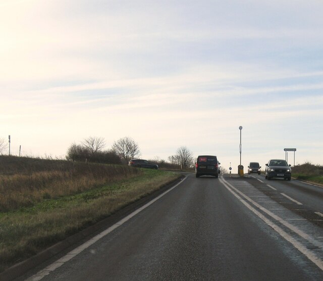
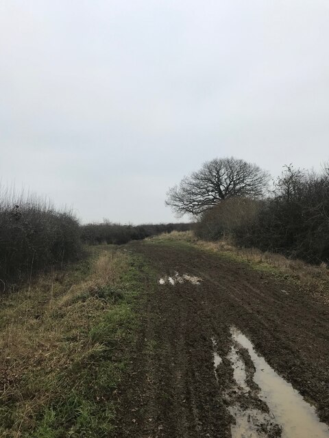
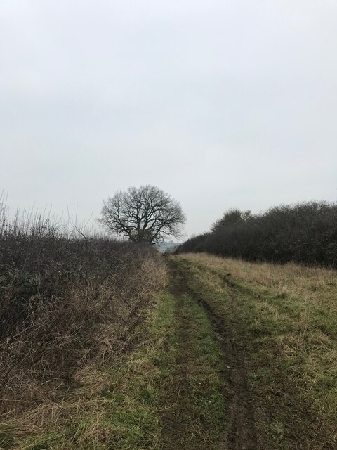
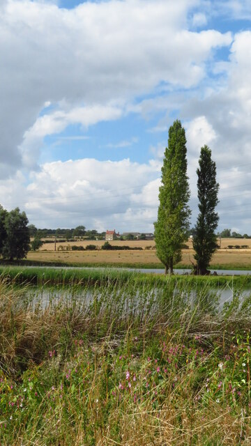
Aldwincle Images
Images are sourced within 2km of 52.425736/-0.523397 or Grid Reference TL0081. Thanks to Geograph Open Source API. All images are credited.


Aldwincle is located at Grid Ref: TL0081 (Lat: 52.425736, Lng: -0.523397)
Unitary Authority: North Northamptonshire
Police Authority: Northamptonshire
What 3 Words
///vehicle.losses.conceals. Near Thrapston, Northamptonshire
Nearby Locations
Related Wikis

All Saints Church, Aldwincle
All Saints Church is a historic Anglican church in the village of Aldwincle, Northamptonshire, England. It is recorded in the National Heritage List for...
Wadenhoe Marsh and Achurch Meadow
Wadenhoe Marsh and Achurch Meadow is a 47.5-hectare (117-acre) biological Site of Special Scientific Interest south of Wadenhoe in Northamptonshire.This...
Aldwincle Marsh
Aldwincle Marsh is a 2-hectare (4.9-acre) biological Site of Special Scientific Interest north of Thrapston in Northamptonshire.This marsh and fen on shallow...

Harper's Brook
Harper's Brook is a tributary of the River Nene which runs through Northamptonshire. According to sources (ordnance survey sheet 141) it rises to the North...

Wadenhoe
Wadenhoe is a village and civil parish in North Northamptonshire. The population (including Pilton and Stoke Doyle) of the civil parish at the 2011 Census...

Titchmarsh Nature Reserve
Titchmarsh Nature Reserve is a 72.7 hectare Local Nature Reserve north of Thrapston in North Northamptonshire. It is owned and managed by the Wildlife...

Thorpe Waterville Castle
Thorpe Waterville Castle was a medieval fortified manor house near Thorpe Waterville, Northamptonshire, England. == Details == Thorpe Waterville Castle...

Aldwincle
Aldwincle (sometimes Aldwinkle or Aldwinckle) is a village and civil parish in North Northamptonshire, with a population at the time of the 2011 census...
Nearby Amenities
Located within 500m of 52.425736,-0.523397Have you been to Aldwincle?
Leave your review of Aldwincle below (or comments, questions and feedback).