Hebden Royd

Civil Parish in Yorkshire Calderdale

England

Hebden Royd

Striding onto Erringden Moor Plenty of footpaths to choose from, when walking on this stretch of moorland
Striding onto Erringden Moor Credit: Chris Heaton

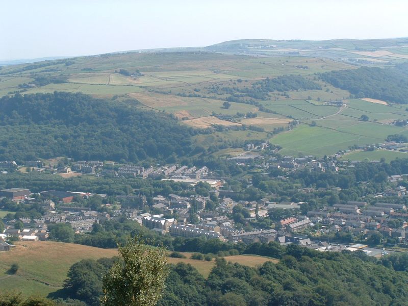
Hebden Royd is a civil parish located in the metropolitan borough of Calderdale in West Yorkshire, England. It is situated in the scenic Upper Calder Valley, nestled between the towns of Halifax and Hebden Bridge. The parish covers an area of approximately 11 square miles and has a population of around 9,000 residents.

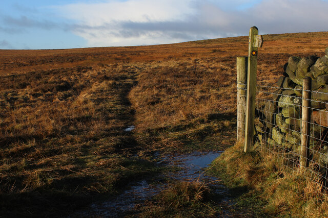
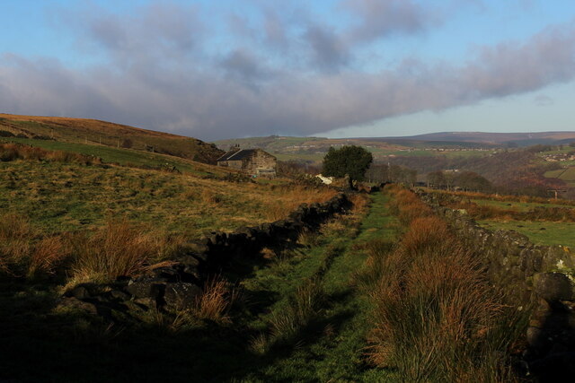
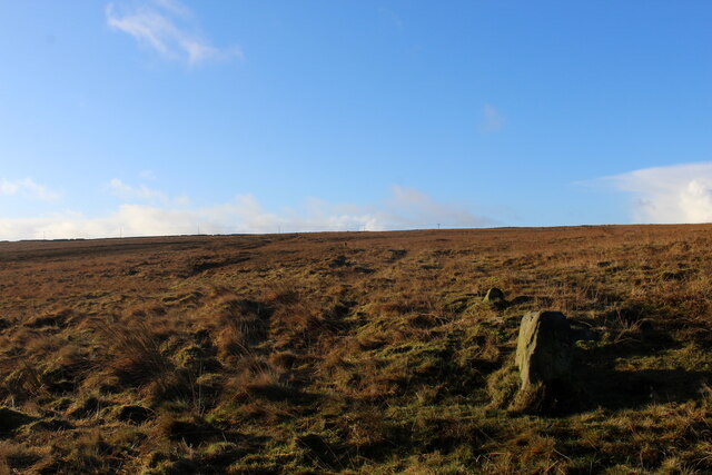
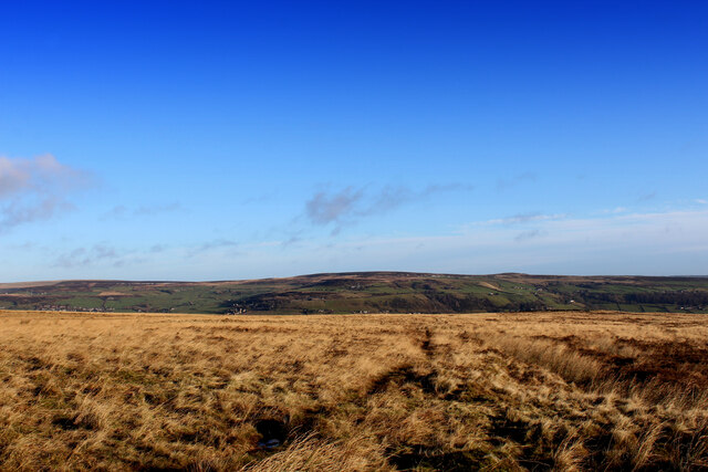
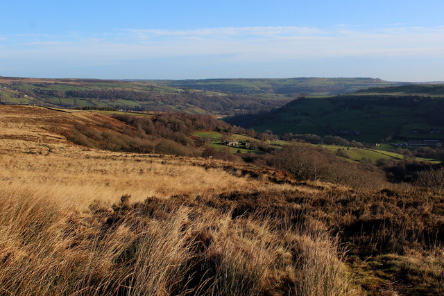
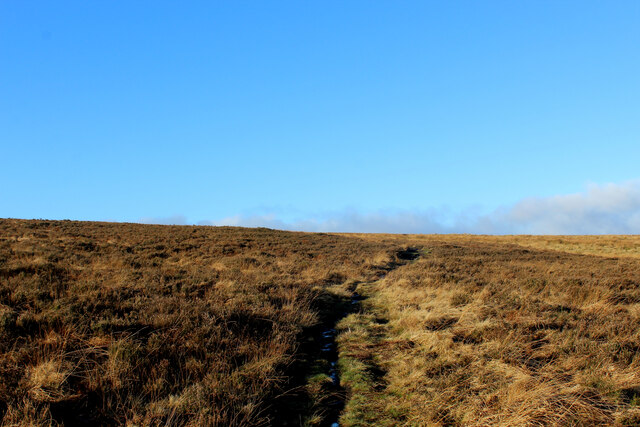
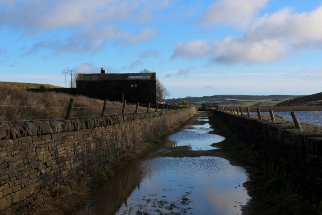
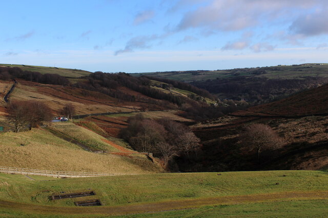
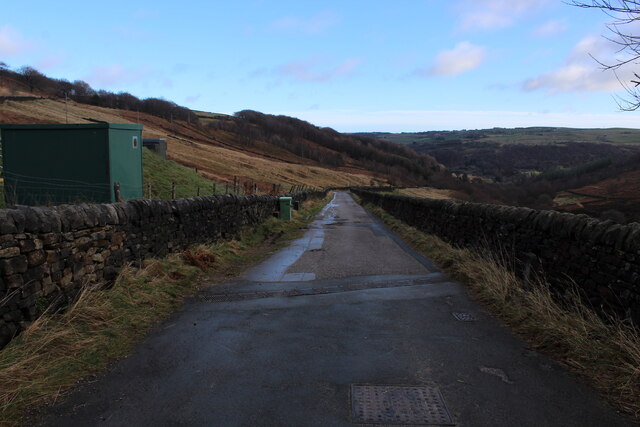
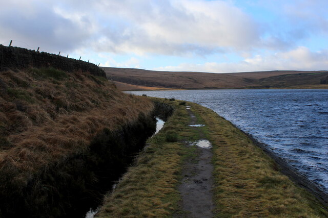
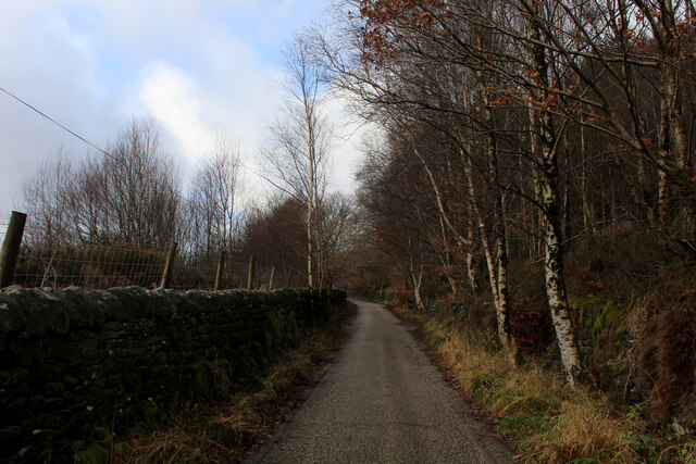
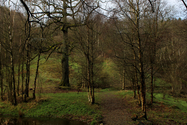
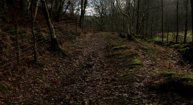
Hebden Royd is known for its picturesque landscapes, with the River Calder flowing through the valley and the surrounding hills offering stunning views. The area is popular with tourists and outdoor enthusiasts, attracting visitors for hiking, cycling, and exploring the nearby countryside.

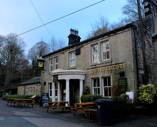
The parish is comprised of several small villages and hamlets, including Hebden Bridge, Mytholmroyd, and Cragg Vale. Each village has its own unique charm and character, with a mix of traditional stone-built houses, independent shops, and cozy pubs.

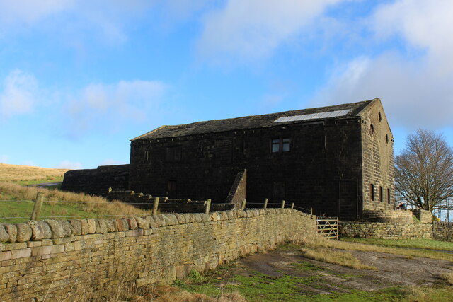
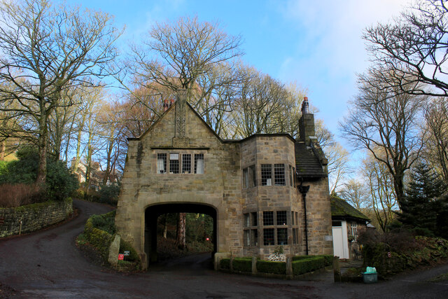
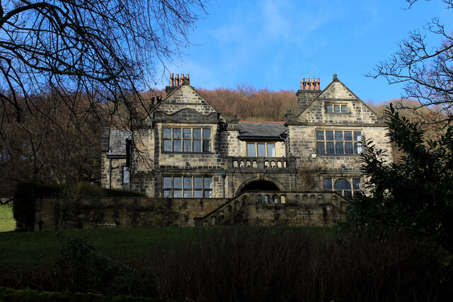
Hebden Royd has a rich industrial heritage, with the textile industry playing a significant role in its history. The area was once home to numerous mills and factories, which have now been repurposed into residential and commercial spaces. The legacy of the industrial era can still be seen in the architecture and preserved landmarks throughout the parish.

In recent years, Hebden Royd has gained a reputation as a vibrant cultural hub, with a thriving arts scene and a strong sense of community. The area hosts various festivals, events, and markets, attracting artists, musicians, and creatives from near and far.

Overall, Hebden Royd offers a unique blend of natural beauty, historical significance, and a vibrant community spirit, making it an appealing place to live and visit.

If you have any feedback on the listing, please let us know in the comments section below.

Hebden Royd Images

Images are sourced within 2km of 53.712407/-2.003785 or Grid Reference SD9923. Thanks to Geograph Open Source API. All images are credited.

Striding onto Erringden Moor Plenty of footpaths to choose from, when walking on this stretch of moorland
Striding onto Erringden Moor
Plenty of footpaths to choose from, when walking on this stretch of moorland
Haven Lane Muddy green lane on the edge of Cock Hill Moor
Haven Lane
Muddy green lane on the edge of Cock Hill Moor
Old Boundary Stone on Erringden Moor There are plenty of these stones forming a line across the moor
Old Boundary Stone on Erringden Moor
There are plenty of these stones forming a line across the moor
Footpath on Erringden Moor Narrow but distinct footpath crossing Erringden Moor
Footpath on Erringden Moor
Narrow but distinct footpath crossing Erringden Moor
On the Edge of Erringden Moor Great view of Cragg Vale and Calderdale from here.
On the Edge of Erringden Moor
Great view of Cragg Vale and Calderdale from here.
On Erringden Moor One of many footpaths that can be found on this stretch of moorland
On Erringden Moor
One of many footpaths that can be found on this stretch of moorland
View towards Stoodley Pike Monument from Dick's Lane
Large Outbuilding beside Pasture House The outbuilding is larger than the farmhouse itself, which is concealed from view behind this bulky edifice.
The complex is located beside Withens Clough Reservoir, and seems to be the only sign of habitation in the vicinity.
The outbuilding appears to be a converted barn in need of some repair.
Passed by on the Calderdale Way long distance footpath.
Large Outbuilding beside Pasture House
The outbuilding is larger than the farmhouse itself, which is concealed from view behind this bulky edifice. The complex is located beside Withens Clough Reservoir, and seems to be the only sign of habitation in the vicinity. The outbuilding appears to be a converted barn in need of some repair. Passed by on the Calderdale Way long distance footpath.
Flooded New Withens Road Approaching Pasture House on the Calderdale Way long distance footpath beside Withens Clough Reservoir
Flooded New Withens Road
Approaching Pasture House on the Calderdale Way long distance footpath beside Withens Clough Reservoir
View from Atop the Dam Wall of Withens Clough Reservoir Looking down Withens Clough towards Cragg Vale
View from Atop the Dam Wall of Withens Clough Reservoir
Looking down Withens Clough towards Cragg Vale
Rudd Lane Access lane heading away from Withens Clough Reservoir towards Cragg Vale.
Adopted by the Calderdale Way long distance footpath.
Rudd Lane
Access lane heading away from Withens Clough Reservoir towards Cragg Vale. Adopted by the Calderdale Way long distance footpath.
Beside Withens Clough Reservoir
On Rudd Lane Heading up towards Withens Clough Reservoir from Cragg Vale, adopted by the Calderdale Way.
On Rudd Lane
Heading up towards Withens Clough Reservoir from Cragg Vale, adopted by the Calderdale Way.
The Hinchliffe Arms Local watering hole in Cragg Vale, passed by on the Calderdale Way
The Hinchliffe Arms
Local watering hole in Cragg Vale, passed by on the Calderdale Way
The Lodge, Cragg Vale Former gatehouse for Cragg Hall, and Grade II Listed Building
The Lodge, Cragg Vale
Former gatehouse for Cragg Hall, and Grade II Listed Building
Old Cragg Hall
Old Cragg Hall
Footpath beside Round Hill Wood (1) Heading towards Cragg Vale
Footpath beside Round Hill Wood (1)
Heading towards Cragg Vale
Footpath beside Round Hill Wood (2) Heading away from Cragg Vale
Footpath beside Round Hill Wood (2)
Heading away from Cragg Vale
Show me another place!

Hebden Royd is located at Grid Ref: SD9923 (Lat: 53.712407, Lng: -2.003785)

Division: West Riding

Administrative County: West Yorkshire

District: Calderdale

Police Authority: West Yorkshire

What 3 Words

///discouraged.models.tenure. Near Mytholmroyd, West Yorkshire

Related Wikis

Upper Calder Valley

The Upper Calder Valley lies in West Yorkshire, in northern England, and covers the towns of Todmorden, Hebden Bridge, Mytholmroyd, Luddendenfoot, and...

Cragg Vale

Cragg Vale is a village in Calderdale, West Yorkshire, England, located south of Mytholmroyd on the B6138 road which joins the A58 and the A646. The village...

Mytholmroyd railway station

Mytholmroyd railway station serves the communities of Mytholmroyd, Luddendenfoot, Midgley, Cragg Vale, and surrounding areas in West Yorkshire, England...

Calderdale

Calderdale is a metropolitan borough of West Yorkshire, England, which had a population of 211,439. It takes its name from the River Calder, and dale,...

Scout Rock

Scout Rock (known locally as Scout Rocks), is a rock face, once a quarry, cut into a hill called Hathershelf Scout and is on the south side of the Upper...

Erringden

Erringden is a civil parish in the Metropolitan Borough of Calderdale in West Yorkshire, England. Previously it was a township within the chapelry of Heptonstall...

Mytholmroyd

Mytholmroyd (pronounced ) is a large village and former civil parish, now in the parish of Hebden Royd, in the Calderdale district, in West Yorkshire,...

Stoodley Pike

Stoodley Pike is a 1,300-foot (400 m) hill in the south Pennines in West Yorkshire in northern England. It is noted for the 121-foot (37 m) Stoodley Pike...

Nearby Amenities

Located within 500m of 53.712407,-2.003785
Barrier: stile
Foot: yes
Lat/Long: 53.7146502/-1.999766
Fixme: longer than this
Lat/Long: 53.7121835/-2.0017965
Fixme: longer than this
Lat/Long: 53.7120438/-2.0017053
Stony Royd
Place: farm
Source Name: OS sheet CCXXX.SW, publ 1894
Lat/Long: 53.7124724/-2.0102132
Barrier: stile
Material: stone
Stile: stepover
Lat/Long: 53.712989/-2.00902
Lumb Stone
Natural: stone
Lat/Long: 53.7124719/-2.0045859
Natural: stone
Lat/Long: 53.7127588/-2.0046743
Power: pole
Lat/Long: 53.7119424/-1.9967705
Power: pole
Lat/Long: 53.7120599/-1.9976503
Power: pole
Lat/Long: 53.712017/-1.9986749
Power: pole
Lat/Long: 53.7119726/-1.9996592
Power: pole
Lat/Long: 53.7119408/-2.0005792
Power: pole
Lat/Long: 53.7118948/-2.0015985
Power: pole
Lat/Long: 53.7118504/-2.0024326
Power: pole
Lat/Long: 53.7118107/-2.0034707
Power: pole
Lat/Long: 53.7117599/-2.0045006
Power: pole
Lat/Long: 53.7117234/-2.0056191
Power: pole
Lat/Long: 53.7116821/-2.0067135
Power: pole
Lat/Long: 53.712098/-2.0074564
Power: pole
Lat/Long: 53.7125203/-2.0082074
Power: pole
Lat/Long: 53.7133362/-2.0096692
Power: pole
Lat/Long: 53.7137632/-2.0104149
Barrier: stile
Material: wood
Source: survey
Stile: stepover
Lat/Long: 53.7121328/-2.0018403
Barrier: stile
Material: wood
Source: survey
Stile: stepover
Lat/Long: 53.7121696/-2.0018481
The data included in this document is from www.openstreetmap.org. The data is made available under ODbL.

Have you been to Hebden Royd?

Leave your review of Hebden Royd below (or comments, questions and feedback).