Hebron
Civil Parish in Northumberland
England
Hebron
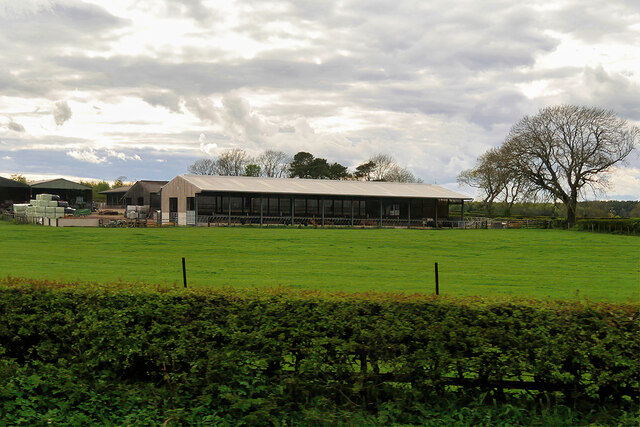
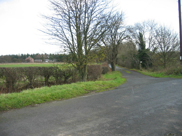
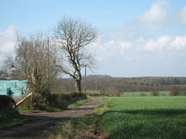
Hebron is a civil parish located in the county of Northumberland, in the northeast of England. It is situated about 2 miles northwest of the town of Morpeth and covers an area of approximately 5 square miles. The parish is predominantly rural, characterized by rolling hills, open fields, and scattered farmsteads.
Hebron has a small population, with the latest census reporting around 200 residents. The area is known for its peaceful and tranquil atmosphere, making it an attractive place for those seeking a quiet and picturesque countryside lifestyle. The parish is home to a tight-knit community that takes pride in its rural heritage and strong sense of community spirit.
Historically, Hebron has been primarily an agricultural area, with a focus on livestock farming and crop cultivation. While the farming industry remains an important part of the local economy, there has been some diversification in recent years, with the growth of small businesses and tourism-related activities.
The parish is surrounded by beautiful natural landscapes, including woodlands, rivers, and nature reserves, offering ample opportunities for outdoor activities such as walking, cycling, and birdwatching. The nearby town of Morpeth provides essential amenities, including shops, schools, and healthcare facilities.
Overall, Hebron is a charming and idyllic civil parish in Northumberland, offering a peaceful rural lifestyle, stunning natural surroundings, and a strong community spirit.
If you have any feedback on the listing, please let us know in the comments section below.
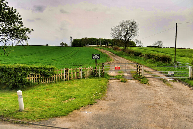
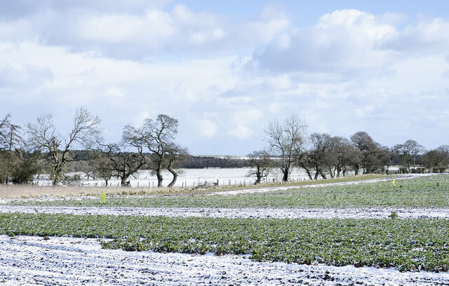
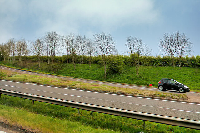
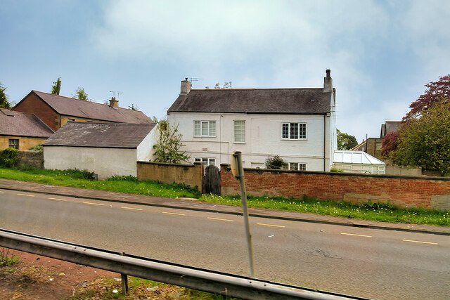
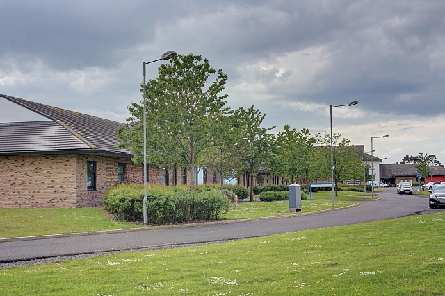
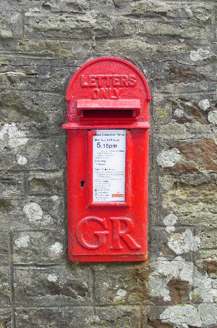
Hebron Images
Images are sourced within 2km of 55.198/-1.710728 or Grid Reference NZ1889. Thanks to Geograph Open Source API. All images are credited.


Hebron is located at Grid Ref: NZ1889 (Lat: 55.198, Lng: -1.710728)
Unitary Authority: Northumberland
Police Authority: Northumbria
What 3 Words
///social.published.bonkers. Near Hebron, Northumberland
Nearby Locations
Related Wikis
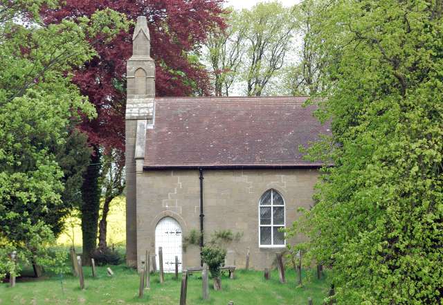
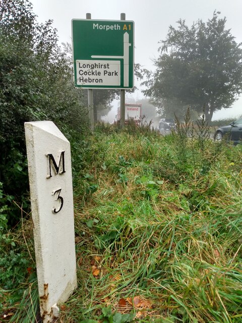
Hebron, Northumberland
Hebron is a village and civil parish 2 miles (3.2 km) north of Morpeth, in the county of Northumberland, England. In 2011 the parish had a population of...
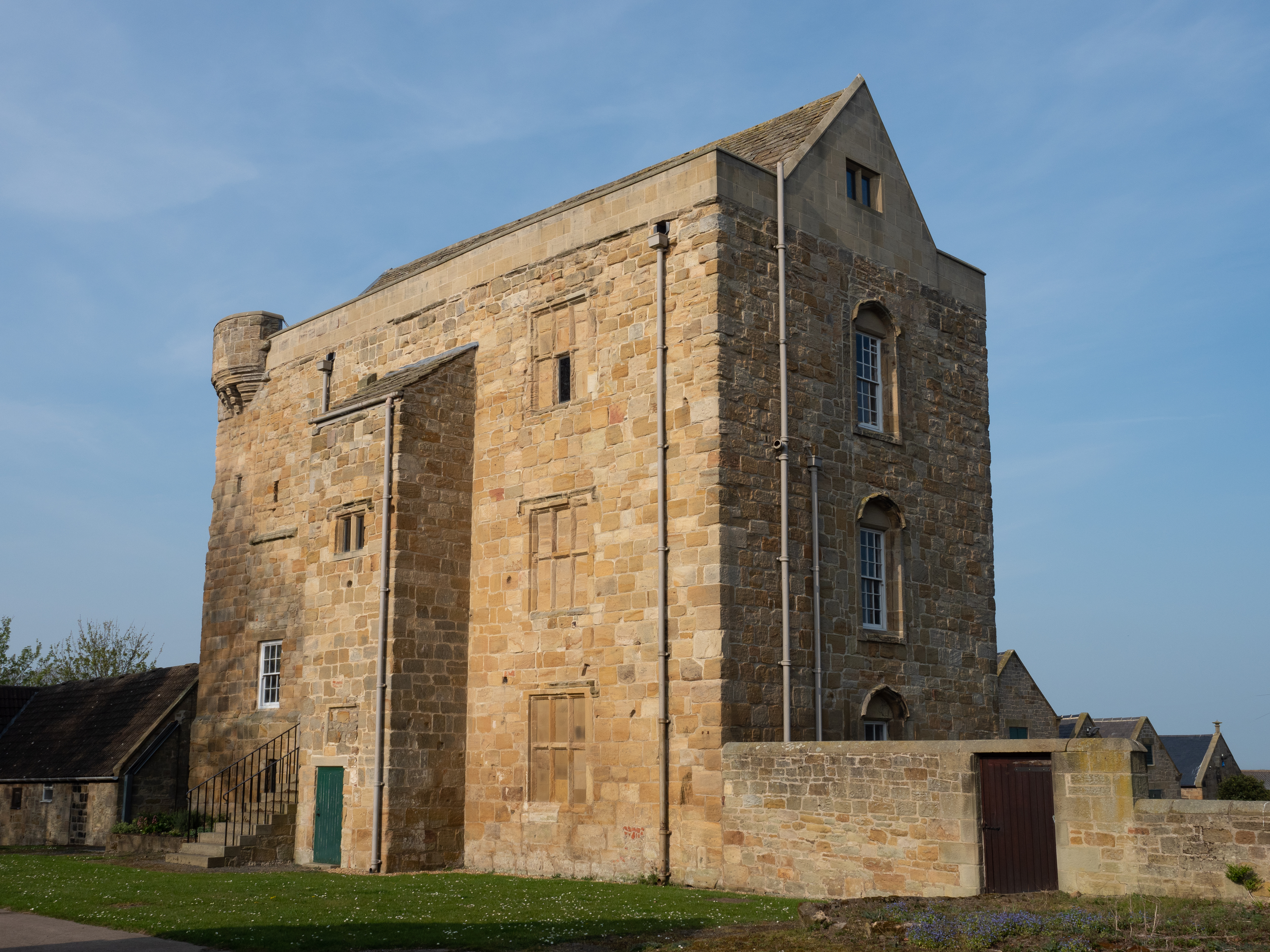
Cockle Park Tower
Cockle Park Tower is a Grade 1 listed building in the hamlet of Cockle Park, Northumberland, England, some 4 miles (6 km) to the north of Morpeth. This...

The King Edward VI School, Morpeth
King Edward VI School, Morpeth is a voluntary controlled academy high school in Morpeth, Northumberland, England. It was established by a royal charter...
St George's Park, Morpeth
St George's Park is a mental health facility in Morpeth, Northumberland. It is managed by Cumbria, Northumberland, Tyne and Wear NHS Foundation Trust....

St George's Hospital, Morpeth
St George's Hospital was a mental health facility in Morpeth, Northumberland. == History == The facility was designed by Henry Welch, the County Surveyor...
Bullers Green
Bullers Green is a part of the town of Morpeth and former civil parish, Northumberland, England. In 1881 the parish had a population of 346. == Governance... ==
Pigdon
Pigdon is a hamlet and former civil parish 3 miles (4.8 km) from Morpeth, now in the parish of Meldon, in the county of Northumberland, England. In 1951...

St James the Great, Morpeth
St James the Great, or St James' Church, is a Grade II* listed church in Morpeth, Northumberland. The entrance screen which allows access to the churchyard...
Nearby Amenities
Located within 500m of 55.198,-1.710728Have you been to Hebron?
Leave your review of Hebron below (or comments, questions and feedback).