Blaith Royd Fields
Downs, Moorland in Yorkshire
England
Blaith Royd Fields

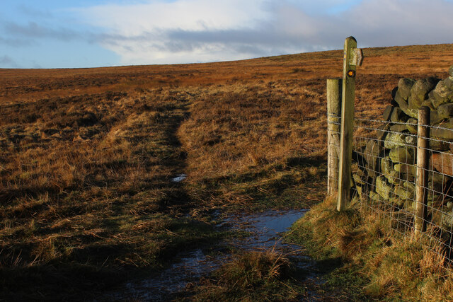
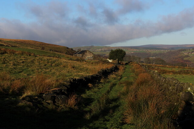
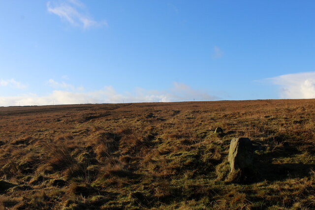
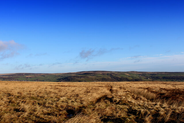
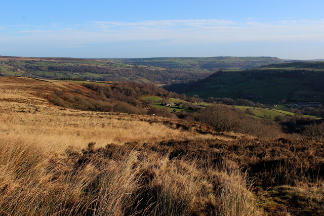
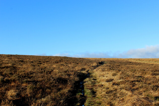
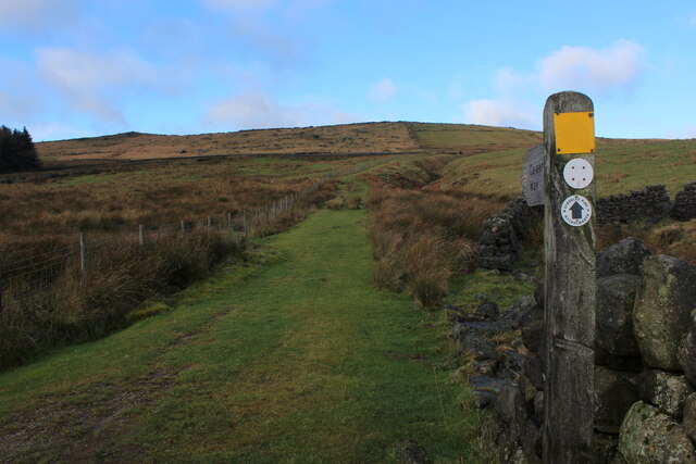
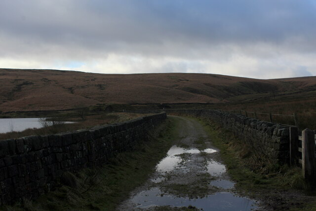
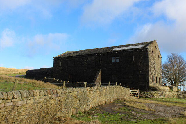
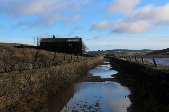
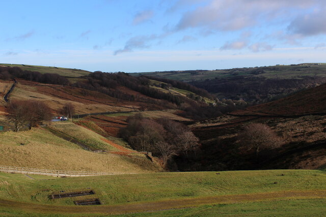
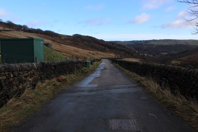
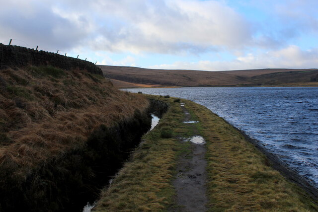
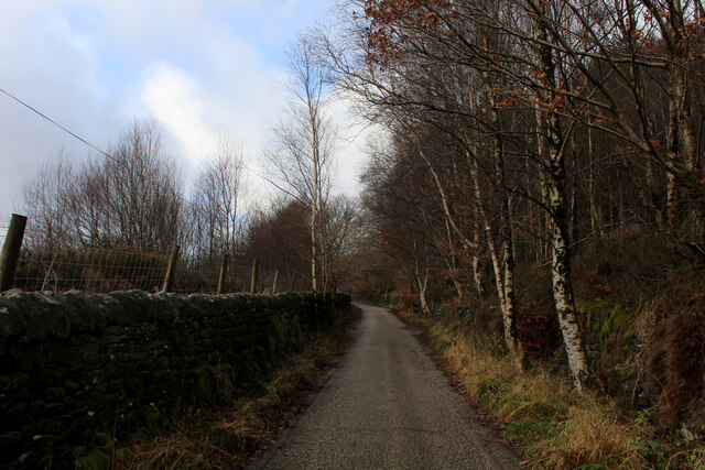
Blaith Royd Fields is a picturesque area located in Yorkshire, England. Nestled amidst the beautiful Yorkshire Downs and Moorland, this serene countryside offers a tranquil escape from the hustle and bustle of city life. Spanning across a vast expanse, Blaith Royd Fields showcases breathtaking natural beauty with its rolling hills, lush green meadows, and expansive moorland.
The area is renowned for its diverse wildlife, making it a haven for nature enthusiasts and birdwatchers. Visitors can spot a variety of bird species, including kestrels, curlews, and lapwings, as well as other wildlife like hares and deer. The open fields and moorland also provide ample opportunities for hiking, walking, and exploring the great outdoors.
Blaith Royd Fields is blessed with a rich history, evident in the presence of ancient stone circles and burial mounds scattered throughout the landscape. These archaeological sites offer a glimpse into the area's past and attract history buffs from far and wide.
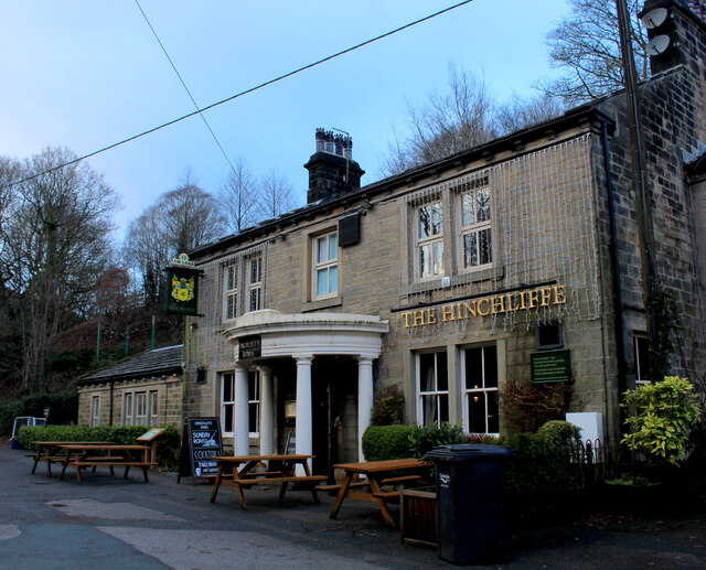
The charming villages surrounding Blaith Royd Fields add to its appeal, with their quaint cottages, traditional pubs, and friendly locals. Visitors can experience the warm hospitality of the Yorkshire countryside and indulge in traditional Yorkshire cuisine.
Whether it's a leisurely stroll through the fields, an adventurous hike in the moorland, or a peaceful picnic amidst nature, Blaith Royd Fields offers a serene and idyllic retreat for those seeking solace in the heart of Yorkshire's natural beauty.
If you have any feedback on the listing, please let us know in the comments section below.
Blaith Royd Fields Images
Images are sourced within 2km of 53.710989/-2.0163402 or Grid Reference SD9923. Thanks to Geograph Open Source API. All images are credited.


Blaith Royd Fields is located at Grid Ref: SD9923 (Lat: 53.710989, Lng: -2.0163402)
Division: West Riding
Unitary Authority: Calderdale
Police Authority: West Yorkshire
What 3 Words
///screening.forgotten.reduce. Near Mytholmroyd, West Yorkshire
Nearby Locations
Related Wikis

Upper Calder Valley
The Upper Calder Valley lies in West Yorkshire, in northern England, and covers the towns of Todmorden, Hebden Bridge, Mytholmroyd, Luddendenfoot, and...

Stoodley Pike
Stoodley Pike is a 1,300-foot (400 m) hill in the south Pennines in West Yorkshire in northern England. It is noted for the 121-foot (37 m) Stoodley Pike...

Cragg Vale
Cragg Vale is a village in Calderdale, West Yorkshire, England, located south of Mytholmroyd on the B6138 road which joins the A58 and the A646. The village...

Erringden
Erringden is a civil parish in the Metropolitan Borough of Calderdale in West Yorkshire, England. Previously it was a township within the chapelry of Heptonstall...
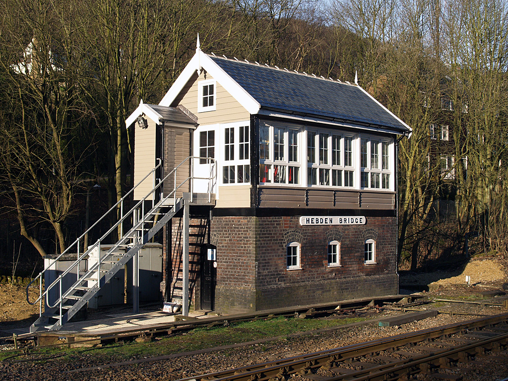
Hebden Bridge signal box
Hebden Bridge signal box is a Grade II listed former Lancashire and Yorkshire Railway signal box, located close to Hebden Bridge railway station in West...

Hebden Bridge railway station
Hebden Bridge railway station serves the town of Hebden Bridge in West Yorkshire, England. The station is on the Calder Valley Line, operated by Northern...

Eastwood, West Yorkshire
Eastwood is a place within the civil parish of Todmorden and Metropolitan Borough of Calderdale, in West Yorkshire, England. It lies 8 miles (12.9 km)...

Mytholmroyd railway station
Mytholmroyd railway station serves the communities of Mytholmroyd, Luddendenfoot, Midgley, Cragg Vale, and surrounding areas in West Yorkshire, England...
Nearby Amenities
Located within 500m of 53.710989,-2.0163402Have you been to Blaith Royd Fields?
Leave your review of Blaith Royd Fields below (or comments, questions and feedback).