Rough Wood
Wood, Forest in Yorkshire
England
Rough Wood
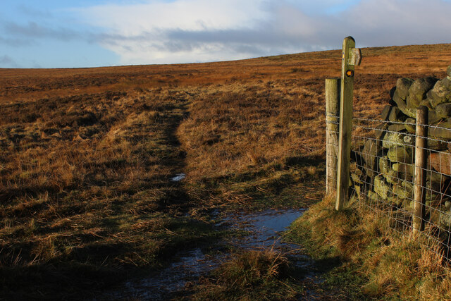
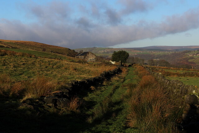
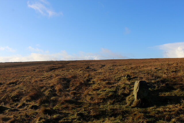
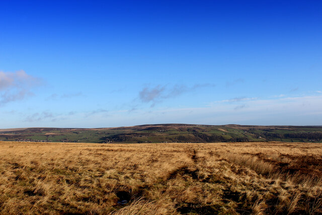
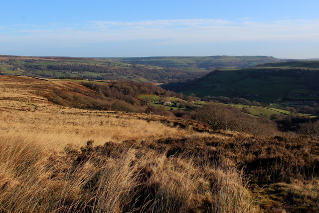
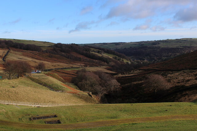
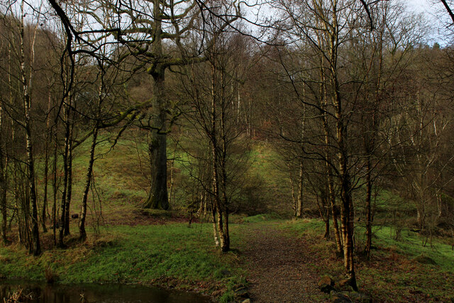
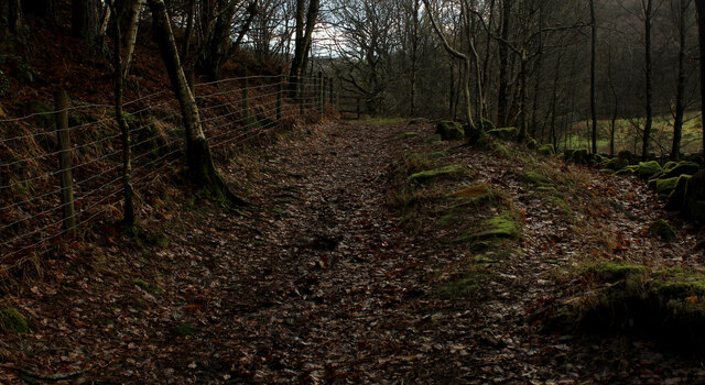
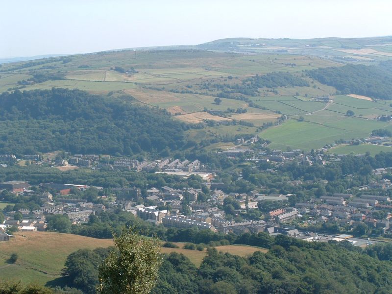
Rough Wood, Yorkshire, is a picturesque forest located in the northern region of England. Spanning over several acres, this woodland area is known for its rugged terrain and diverse range of plant and animal species. Rough Wood is situated near the village of Yorkshire, offering locals and visitors a serene and tranquil escape from the bustling city life.
The forest is primarily composed of a mixture of deciduous and coniferous trees, including oak, beech, pine, and spruce, which create a dense and lush canopy. The diverse vegetation provides a habitat for numerous wildlife species, such as deer, foxes, badgers, and a variety of bird species. This makes Rough Wood an ideal location for nature enthusiasts and birdwatchers.
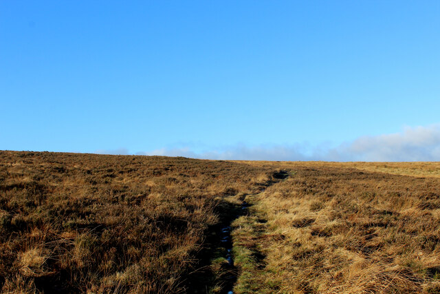
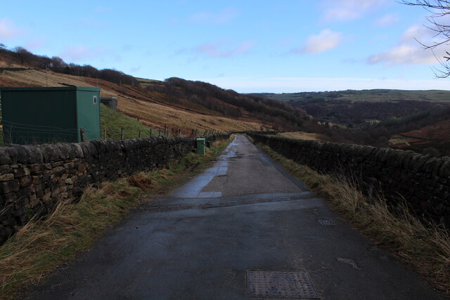
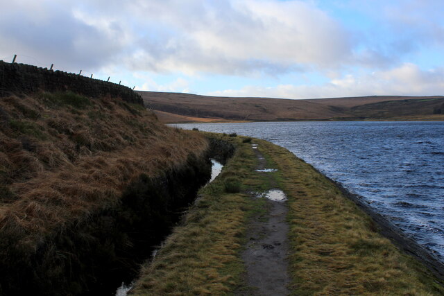
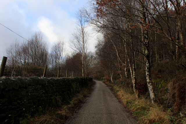
The woodland offers a network of well-maintained footpaths and trails, allowing visitors to explore the area at their leisure. These trails wind through the forest, offering breathtaking views of the surrounding countryside and the opportunity to discover hidden glens, babbling brooks, and peaceful ponds.
Rough Wood is also a popular destination for outdoor activities, including hiking, cycling, and horseback riding. The forest provides ample space for picnics, camping, and other recreational pursuits. Additionally, the area is home to several designated picnic spots and camping sites, catering to both day visitors and those seeking an overnight stay.
Overall, Rough Wood, Yorkshire, offers a serene and natural environment for individuals to immerse themselves in the beauty of nature. With its diverse flora and fauna, well-maintained trails, and abundance of outdoor activities, this woodland area is a must-visit destination for nature lovers and adventure seekers alike.
If you have any feedback on the listing, please let us know in the comments section below.
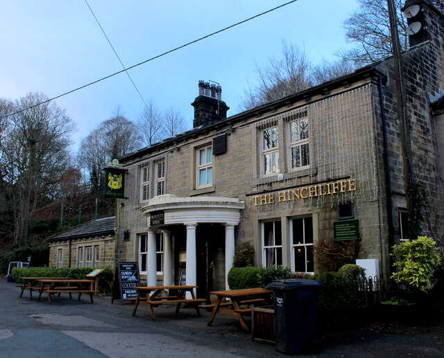
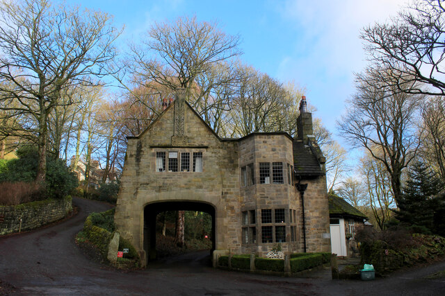
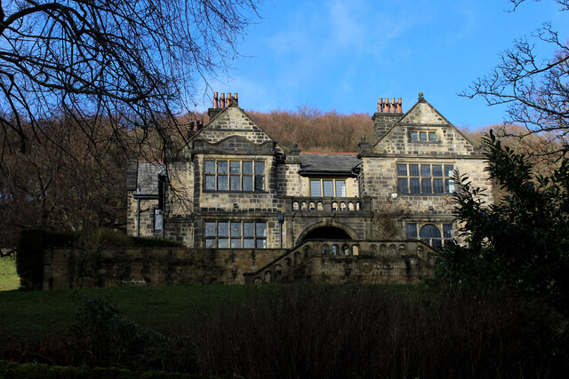
Rough Wood Images
Images are sourced within 2km of 53.708546/-2.0043862 or Grid Reference SD9923. Thanks to Geograph Open Source API. All images are credited.

Rough Wood is located at Grid Ref: SD9923 (Lat: 53.708546, Lng: -2.0043862)
Division: West Riding
Unitary Authority: Calderdale
Police Authority: West Yorkshire
What 3 Words
///voltages.improve.strictly. Near Mytholmroyd, West Yorkshire
Nearby Locations
Related Wikis

Cragg Vale
Cragg Vale is a village in Calderdale, West Yorkshire, England, located south of Mytholmroyd on the B6138 road which joins the A58 and the A646. The village...

Upper Calder Valley
The Upper Calder Valley lies in West Yorkshire, in northern England, and covers the towns of Todmorden, Hebden Bridge, Mytholmroyd, Luddendenfoot, and...

Stoodley Pike
Stoodley Pike is a 1,300-foot (400 m) hill in the south Pennines in West Yorkshire in northern England. It is noted for the 121-foot (37 m) Stoodley Pike...

Calderdale
Calderdale is a metropolitan borough of West Yorkshire, England, which had a population of 211,439. It takes its name from the River Calder, and dale,...

Scout Rock
Scout Rock (known locally as Scout Rocks), is a rock face, once a quarry, cut into a hill called Hathershelf Scout and is on the south side of the Upper...

Mytholmroyd railway station
Mytholmroyd railway station serves the communities of Mytholmroyd, Luddendenfoot, Midgley, Cragg Vale, and surrounding areas in West Yorkshire, England...
Mytholmroyd
Mytholmroyd (pronounced ) is a large village and former civil parish, now in the parish of Hebden Royd, in the Calderdale district, in West Yorkshire,...

Erringden
Erringden is a civil parish in the Metropolitan Borough of Calderdale in West Yorkshire, England. Previously it was a township within the chapelry of Heptonstall...
Nearby Amenities
Located within 500m of 53.708546,-2.0043862Have you been to Rough Wood?
Leave your review of Rough Wood below (or comments, questions and feedback).