Feetham Wood

Wood, Forest in Yorkshire Richmondshire

England

Feetham Wood

Bridge and steps at Cringley Bottom The bridge replaces one first erected some 12 years ago. On the far side are some 82 steps which make the ascent to the moor edge rather easier. There could be further improvements here using new funding, as the Coast to Coast path is now designated as an official long distance path.
Bridge and steps at Cringley Bottom Credit: Gordon Hatton

Feetham Wood is a picturesque woodland located in the heart of Yorkshire, England. Covering an area of approximately 100 acres, this ancient forest is a haven for nature enthusiasts and outdoor adventurers alike. It is nestled within the larger North York Moors National Park, adding to its natural beauty and significance.

Feetham Wood is known for its diverse range of flora and fauna, boasting an impressive array of native species. The woodland is predominantly composed of oak and beech trees, creating a lush and vibrant canopy that provides shade and shelter for a wide variety of wildlife. Visitors can expect to encounter species such as red deer, foxes, badgers, and numerous bird species, making it a prime spot for birdwatching.

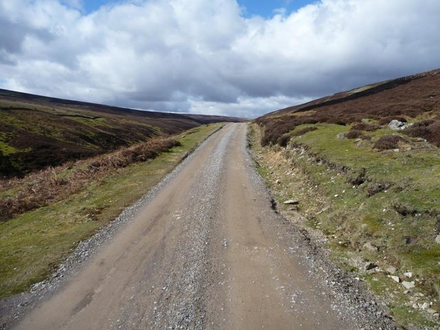
Walking trails meander through Feetham Wood, allowing visitors to explore its enchanting surroundings at their own pace. The paths lead to hidden clearings, babbling brooks, and tranquil ponds, providing a sense of serenity and tranquility. The forest is particularly stunning in the spring, when the woodland floor is carpeted with bluebells, creating a breathtaking spectacle of color and fragrance.

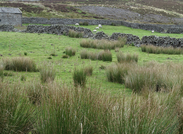
Feetham Wood also has historical significance, with evidence of ancient settlements and iron age remains scattered throughout its grounds. These remnants serve as a reminder of the area's rich cultural heritage and offer an insight into the lives of those who inhabited the region centuries ago.

Overall, Feetham Wood is a captivating destination that offers a glimpse into the natural and historical wonders of Yorkshire. Whether one seeks solitude in nature or a chance to immerse themselves in the region's history, this woodland provides an unforgettable experience for all who visit.

If you have any feedback on the listing, please let us know in the comments section below.
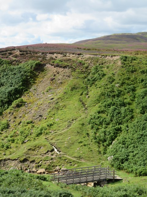
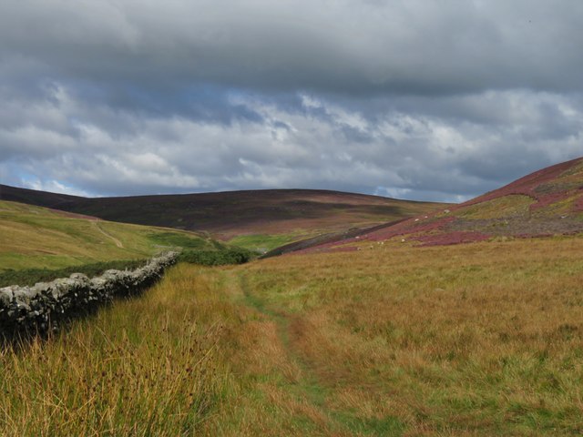
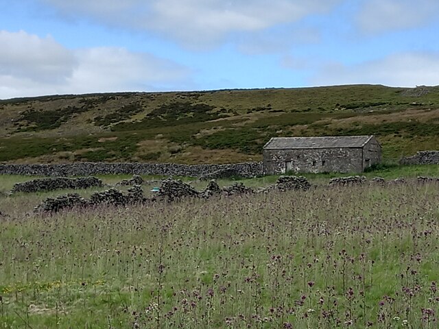
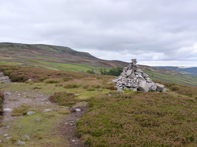
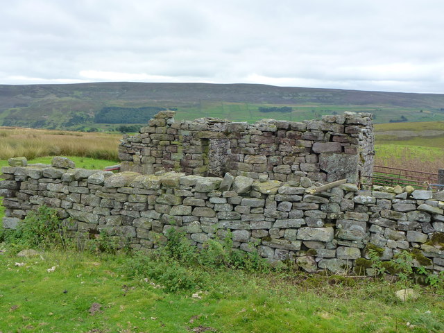
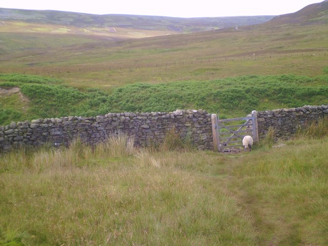
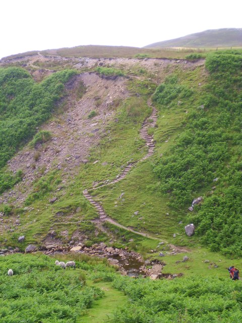
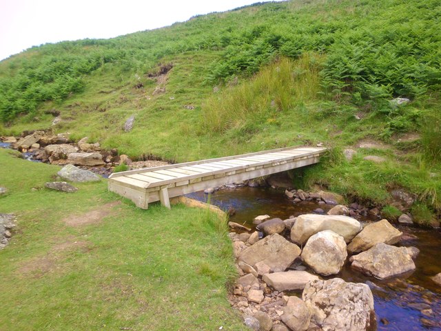
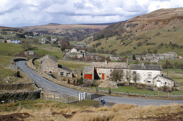
Feetham Wood Images

Images are sourced within 2km of 54.382111/-2.0045082 or Grid Reference SD9998. Thanks to Geograph Open Source API. All images are credited.
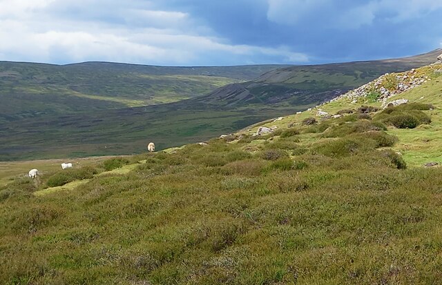
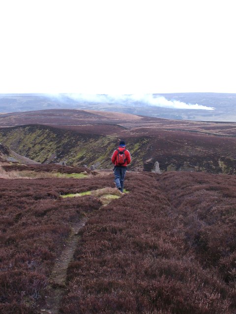
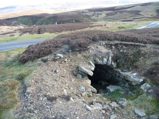
Bridge and steps at Cringley Bottom The bridge replaces one first erected some 12 years ago. On the far side are some 82 steps which make the ascent to the moor edge rather easier. There could be further improvements here using new funding, as the Coast to Coast path is now designated as an official long distance path.
Bridge and steps at Cringley Bottom
The bridge replaces one first erected some 12 years ago. On the far side are some 82 steps which make the ascent to the moor edge rather easier. There could be further improvements here using new funding, as the Coast to Coast path is now designated as an official long distance path.
Moorland in late summer The view along the wallside above Cringley Bottom, looking towards Fore Gill Gate. On the fellsides the heather is in full bloom.
Moorland in late summer
The view along the wallside above Cringley Bottom, looking towards Fore Gill Gate. On the fellsides the heather is in full bloom.
A prickly field Part of the old intake land at Cleasby, which appears to have been abandoned to the thistles.
A prickly field
Part of the old intake land at Cleasby, which appears to have been abandoned to the thistles.
Moorland with sheep On the moor to the west of Calver, with the valley of Mill Gill in the distance.
Moorland with sheep
On the moor to the west of Calver, with the valley of Mill Gill in the distance.
Path to Calver Hill A thin path through heather leads from the high point of the BW that crosses between Calver and Cringley Hill. This isn't a public right of way, but is on access land. There's evidence of grouse moor management here with patches of heather having been burnt off to promote new growth. The OS map shows the area to the east as Calver Hill, but locals would simply regard it as 'Calver'.
Path to Calver Hill
A thin path through heather leads from the high point of the BW that crosses between Calver and Cringley Hill. This isn't a public right of way, but is on access land. There's evidence of grouse moor management here with patches of heather having been burnt off to promote new growth. The OS map shows the area to the east as Calver Hill, but locals would simply regard it as 'Calver'.
Looking up at Reeth Low Moor
On Reeth Low Moor Looking to Reeth High Moor
On Reeth Low Moor
Looking to Reeth High Moor
Heading down the flue Walking along the top of the old flue system above Surrender Mill, the ruins of which can be seen in the middle distance. The flue is a drystone arch tunnel, but is well covered here by peat and heather and is not an obvious feature.
Heading down the flue
Walking along the top of the old flue system above Surrender Mill, the ruins of which can be seen in the middle distance. The flue is a drystone arch tunnel, but is well covered here by peat and heather and is not an obvious feature.
The track to the former Old Gang Smelting Mills Now a public bridleway and apparently part of the Coast to Coast route.
The track to the former Old Gang Smelting Mills
Now a public bridleway and apparently part of the Coast to Coast route.
Animal trap on lower part of lead smelting flue Presumably to catch mammals [rats?] that predate the grouse on this grouse moor. Must let the birds live long enough to be shot.
Animal trap on lower part of lead smelting flue
Presumably to catch mammals [rats?] that predate the grouse on this grouse moor. Must let the birds live long enough to be shot.
Lead smelting flue Passing under a minor road near Surrender Bridge.
Lead smelting flue
Passing under a minor road near Surrender Bridge.
Enclosures at Cleasby On slopes south west of the summit of Calver Hill there's a group of three enclosures within which the land has been 'improved'; the ground within is not classified as access land though all around it is. There's a barn in one of the 'fields' part of which is seen in the image.
Enclosures at Cleasby
On slopes south west of the summit of Calver Hill there's a group of three enclosures within which the land has been 'improved'; the ground within is not classified as access land though all around it is. There's a barn in one of the 'fields' part of which is seen in the image.
Heading towards Arkengarthdale... ...from Surrender Bridge.
Heading towards Arkengarthdale...
...from Surrender Bridge.
Cairn on Novel Houses Hill
Ruined farm building north of Surrender Gill
An anomaly corrected For as many decades as I care to remember, this wall crossing was always by a stone squeeze stile, a strange method on a bridleway.  The anomaly has now been put right by a YDNPA volunteer team who have replaced the stile with a hand gate. Horses and bicycles can now pass this way, though the ground beyond the gate is somewhat testing.
An anomaly corrected
For as many decades as I care to remember, this wall crossing was always by a stone squeeze stile, a strange method on a bridleway. The anomaly has now been put right by a YDNPA volunteer team who have replaced the stile with a hand gate. Horses and bicycles can now pass this way, though the ground beyond the gate is somewhat testing.
Path improvements at Cringley Bottom A heavily used bridleway which is part of the popular Coast to Coast walk, and one which has been made more difficult over the years by erosion. The path up the steep bank has been regraded and some 85 steps constructed by a YDNPA work team.
Path improvements at Cringley Bottom
A heavily used bridleway which is part of the popular Coast to Coast walk, and one which has been made more difficult over the years by erosion. The path up the steep bank has been regraded and some 85 steps constructed by a YDNPA work team.
New Bridge, Cringley Bottom Three problems have been overcome at Cringley Bottom in recent months thanks to work done by rangers and volunteers from the NE team of YDNPA. The steep drop into Cringley Bottom on the west side has been regraded and steps constructed, whilst on the east side a squeeze stile has been replaced with a hand gate. The beck could always provide another problem when the water level was high, so to complete the improvements a footbridge has been constructed.
New Bridge, Cringley Bottom
Three problems have been overcome at Cringley Bottom in recent months thanks to work done by rangers and volunteers from the NE team of YDNPA. The steep drop into Cringley Bottom on the west side has been regraded and steps constructed, whilst on the east side a squeeze stile has been replaced with a hand gate. The beck could always provide another problem when the water level was high, so to complete the improvements a footbridge has been constructed.
Show me another place!

Feetham Wood is located at Grid Ref: SD9998 (Lat: 54.382111, Lng: -2.0045082)

Division: North Riding

Administrative County: North Yorkshire

District: Richmondshire

Police Authority: North Yorkshire

What 3 Words

///mystified.clattered.wire. Near Leyburn, North Yorkshire

Nearby Locations

Feetham Wood Sand Beds

Related Wikis

Kearton

Kearton is a hamlet in the Yorkshire Dales, North Yorkshire, England. Kearton is situated near Low Row and Reeth. == References == == External links... ==

Feetham

Feetham is a hamlet opposite Low Row in the Yorkshire Dales, North Yorkshire, England. The origin of the place-name is from Old Norse and means place at...

Low Row

Low Row is a village in Swaledale, in the Yorkshire Dales, North Yorkshire, England. It lies about 3 miles west of Reeth and is between Healaugh and Gunnerside...

Healaugh, Richmondshire

Healaugh (pronounced "hee-law") is a small village in the civil parish of Reeth, Fremington and Healaugh, in Swaledale in the Yorkshire Dales. It is in...

Calver Hill

Calver Hill is a fell in the Yorkshire Dales National Park in North Yorkshire, England. It is composed of limestone and is situated at grid reference NZ012003...

Maiden Castle, North Yorkshire

Maiden Castle is a settlement in Grinton, North Yorkshire (grid reference SE02189808) which probably dates from the Iron Age. It is listed as a Scheduled...

Crackpot, North Yorkshire

Crackpot is a village in Swaledale, North Yorkshire, England. Its name derives from the Old English kraka (crow) and the Viking word pot (usually a pit...

Arkle Town

Arkle Town is a hamlet in Arkengarthdale in the Richmondshire district of North Yorkshire, England. It is situated 0.4 miles (0.64 km) to the south of...

Nearby Amenities

Located within 500m of 54.382111,-2.0045082
Building: barn
Lat/Long: 54.379702/-2.010157
How Hill
Natural: peak
Lat/Long: 54.3806123/-1.9974453
Barrier: stile
Stile: stepover
Lat/Long: 54.3782218/-2.0060362
Barrier: stile
Stile: stepover
Lat/Long: 54.378295/-2.0046663
Barrier: stile
Stile: stepover
Lat/Long: 54.3785415/-2.0031576
Power: pole
Lat/Long: 54.3859549/-2.0083268
Power: pole
Lat/Long: 54.3863157/-2.0067496
Ford: yes
Lat/Long: 54.3821372/-1.9976202
Power: pole
Lat/Long: 54.3780376/-2.0017996
Power: pole
Lat/Long: 54.3779767/-2.0033419
Power: pole
Lat/Long: 54.3779173/-2.0047112
Power: pole
Lat/Long: 54.3778673/-2.0060349
Power: pole
Lat/Long: 54.3789757/-1.9991966
Power: pole
Lat/Long: 54.3790577/-2.0004317
The data included in this document is from www.openstreetmap.org. The data is made available under ODbL.

Have you been to Feetham Wood?

Leave your review of Feetham Wood below (or comments, questions and feedback).