Spring Plantation
Downs, Moorland in Yorkshire
England
Spring Plantation

Spring Plantation is a picturesque estate nestled in the heart of Yorkshire, England. Located amidst the stunning landscapes of the Yorkshire Downs and Moorland, this plantation offers a tranquil escape for nature enthusiasts and history buffs alike. Spanning over acres of lush greenery, Spring Plantation boasts a rich history dating back several centuries.
The plantation is renowned for its stunning gardens, meticulously landscaped to showcase a variety of colorful flowers, shrubs, and trees. Visitors can stroll along winding paths, enjoying the sights and scents of blooming roses, vibrant azaleas, and delicate orchids. The plantation also features well-maintained lawns, providing the perfect spot for picnics or simply soaking up the serene ambiance.
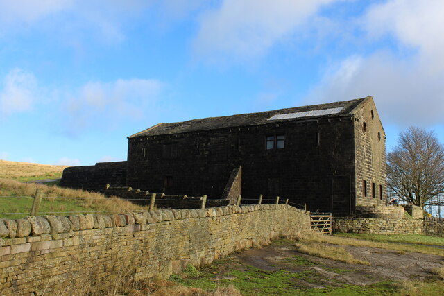
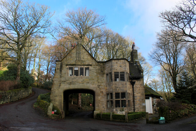
In addition to its natural beauty, Spring Plantation offers a glimpse into the region's past. The estate is home to a historic manor house, constructed in the 18th century, which has been carefully preserved and restored. Visitors can explore the grand halls, elegant drawing rooms, and opulent bedrooms, adorned with antique furniture and artwork.
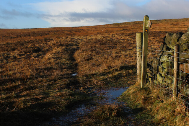
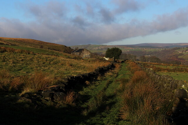
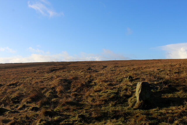
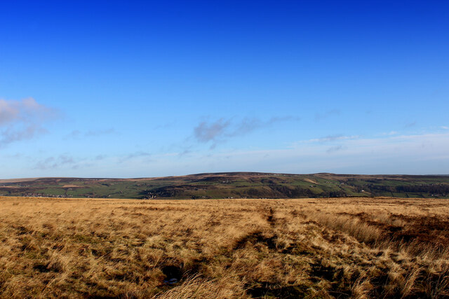
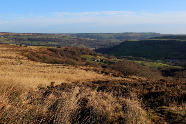
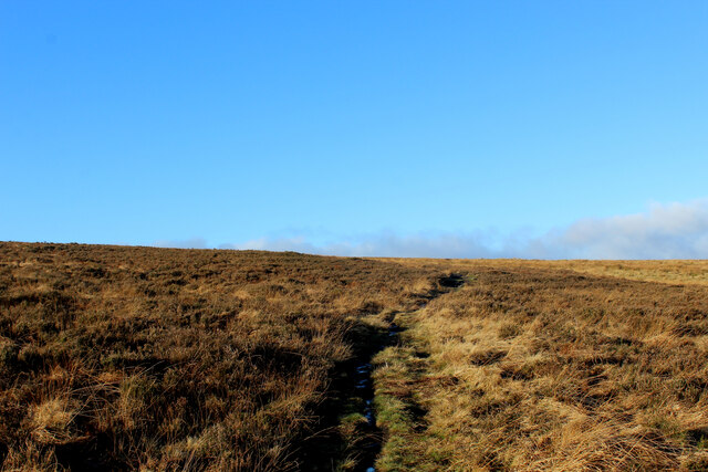
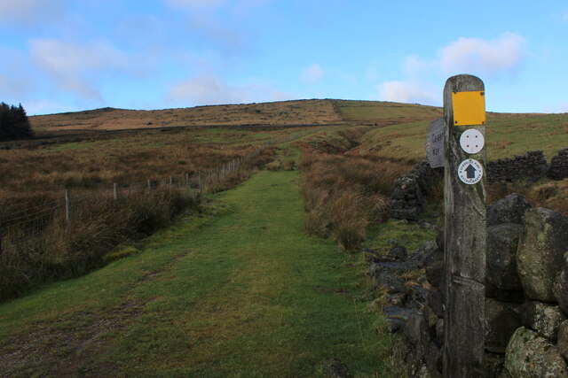
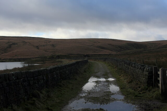
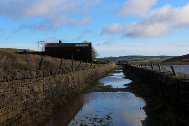
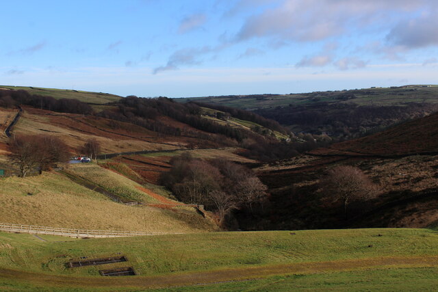
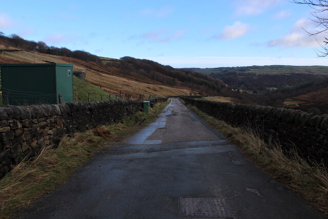
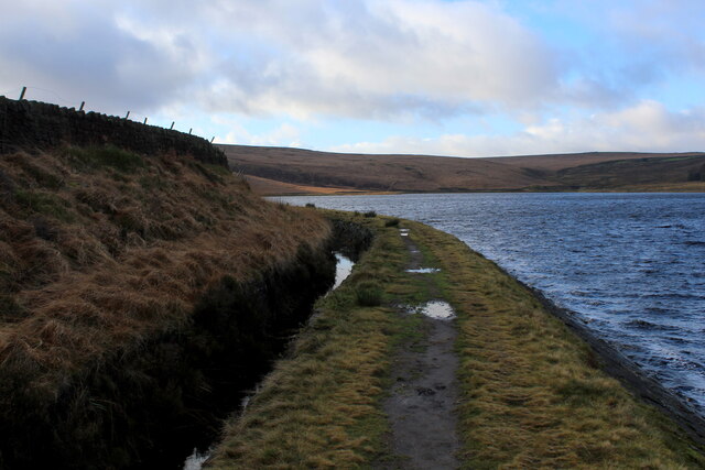
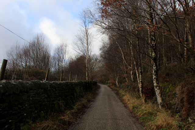
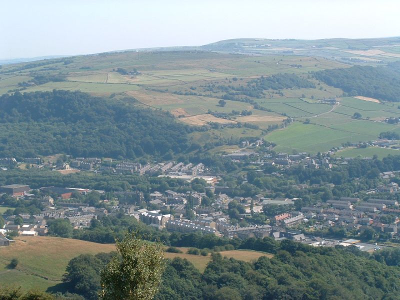
For those seeking outdoor adventures, the Yorkshire Downs and Moorland surrounding Spring Plantation provide ample opportunities for hiking, cycling, and wildlife spotting. The vast expanses of heather-covered moors offer breathtaking panoramic views, while the rolling hills and valleys are home to a diverse array of flora and fauna.
Overall, Spring Plantation in Yorkshire is a haven for those seeking a blend of natural beauty and historical charm. With its stunning gardens, historic manor house, and access to the captivating landscapes of the Yorkshire Downs and Moorland, it is a must-visit destination for anyone looking to immerse themselves in the captivating beauty of rural England.
If you have any feedback on the listing, please let us know in the comments section below.
Spring Plantation Images
Images are sourced within 2km of 53.711134/-2.0125072 or Grid Reference SD9923. Thanks to Geograph Open Source API. All images are credited.

Spring Plantation is located at Grid Ref: SD9923 (Lat: 53.711134, Lng: -2.0125072)
Division: West Riding
Unitary Authority: Calderdale
Police Authority: West Yorkshire
What 3 Words
///reeling.ordering.remainder. Near Mytholmroyd, West Yorkshire
Nearby Locations
Related Wikis

Upper Calder Valley
The Upper Calder Valley lies in West Yorkshire, in northern England, and covers the towns of Todmorden, Hebden Bridge, Mytholmroyd, Luddendenfoot, and...

Cragg Vale
Cragg Vale is a village in Calderdale, West Yorkshire, England, located south of Mytholmroyd on the B6138 road which joins the A58 and the A646. The village...

Stoodley Pike
Stoodley Pike is a 1,300-foot (400 m) hill in the south Pennines in West Yorkshire in northern England. It is noted for the 121-foot (37 m) Stoodley Pike...

Erringden
Erringden is a civil parish in the Metropolitan Borough of Calderdale in West Yorkshire, England. Previously it was a township within the chapelry of Heptonstall...

Mytholmroyd railway station
Mytholmroyd railway station serves the communities of Mytholmroyd, Luddendenfoot, Midgley, Cragg Vale, and surrounding areas in West Yorkshire, England...
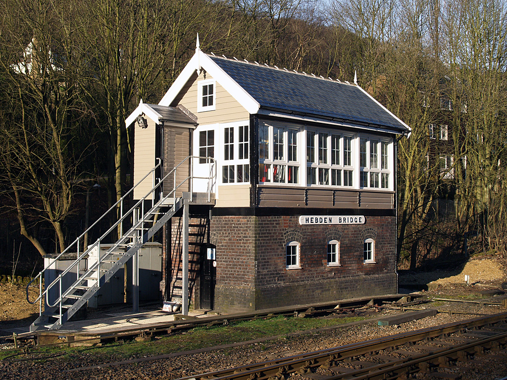
Hebden Bridge signal box
Hebden Bridge signal box is a Grade II listed former Lancashire and Yorkshire Railway signal box, located close to Hebden Bridge railway station in West...
Mytholmroyd
Mytholmroyd (pronounced ) is a large village and former civil parish, now in the parish of Hebden Royd, in the Calderdale district, in West Yorkshire,...

Scout Rock
Scout Rock (known locally as Scout Rocks), is a rock face, once a quarry, cut into a hill called Hathershelf Scout and is on the south side of the Upper...
Nearby Amenities
Located within 500m of 53.711134,-2.0125072Have you been to Spring Plantation?
Leave your review of Spring Plantation below (or comments, questions and feedback).