Tenter Hill
Hill, Mountain in Yorkshire
England
Tenter Hill
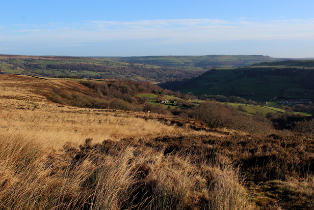
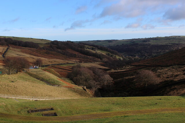
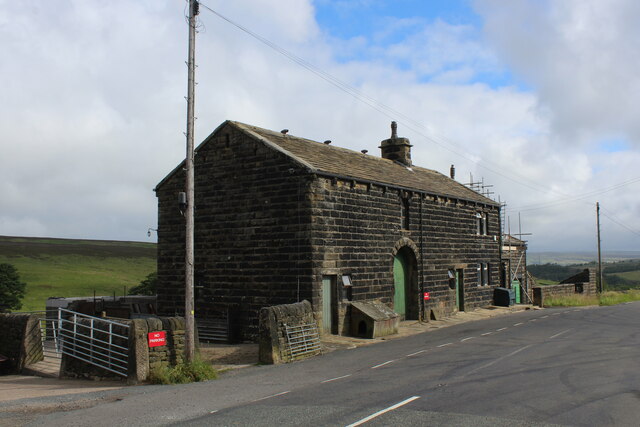
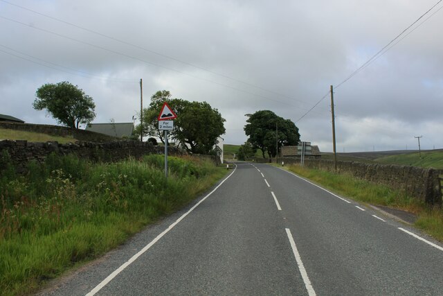
Tenter Hill, located in Yorkshire, England, is a prominent hill that forms part of the North York Moors National Park. Rising to an elevation of approximately 454 meters (1,490 feet), it offers breathtaking panoramic views of the surrounding countryside. The hill is situated near the village of Tentergate, hence its name, and is a popular destination for hikers, nature enthusiasts, and photographers.
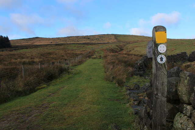
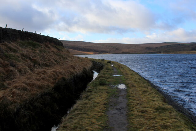
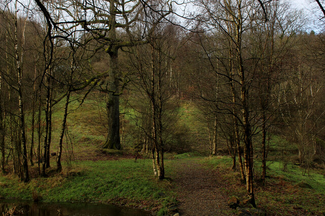
Tenter Hill is known for its distinctive rugged terrain, characterized by steep slopes, rocky outcrops, and a diverse range of flora and fauna. The hill is covered with heather moorland, interspersed with patches of grassland and scattered trees. This unique ecosystem supports a variety of wildlife, including birds of prey like kestrels and buzzards, as well as rare species such as the black grouse.
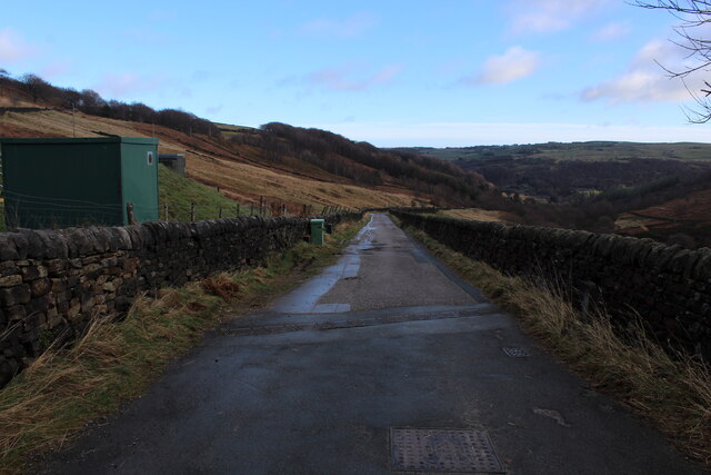
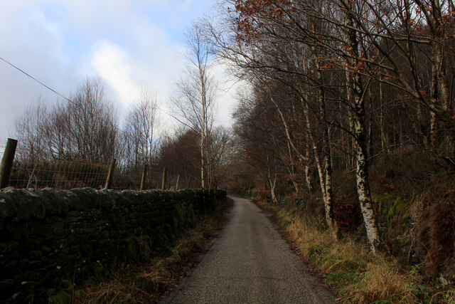
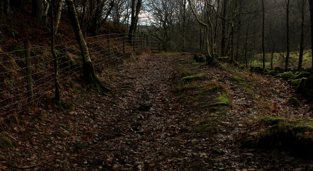
Visitors to Tenter Hill can explore a network of well-maintained footpaths that traverse its slopes, allowing for both leisurely strolls and more challenging hikes. One of the most popular routes leads to the summit, where walkers are rewarded with breathtaking views of the surrounding North York Moors and the distant coastline.
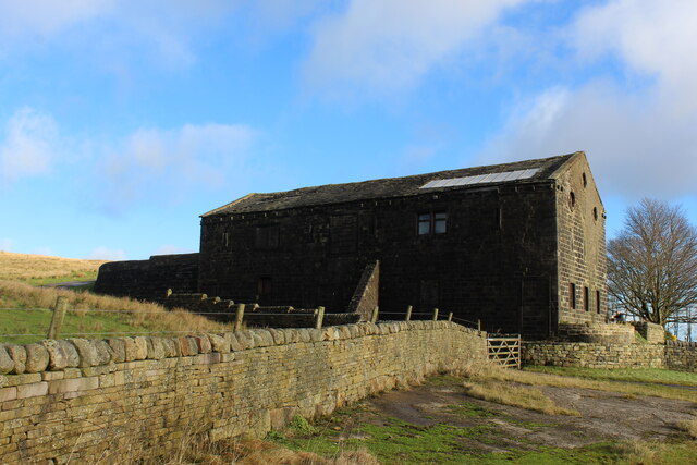
In addition to its natural beauty, Tenter Hill also has historical significance. The hill is home to ancient burial mounds and evidence of Iron Age settlements, providing an intriguing glimpse into the area's past.
Overall, Tenter Hill in Yorkshire offers a unique blend of natural beauty, diverse wildlife, and cultural heritage, making it a must-visit destination for outdoor enthusiasts and history buffs alike.
If you have any feedback on the listing, please let us know in the comments section below.
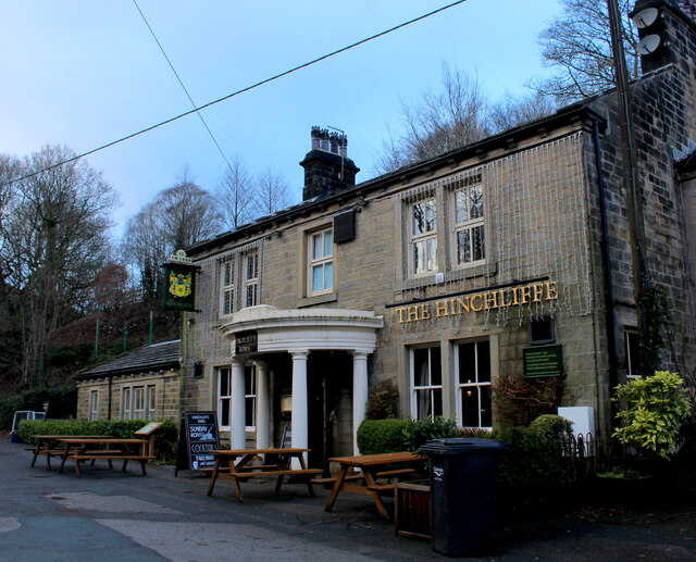
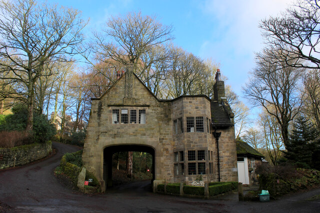
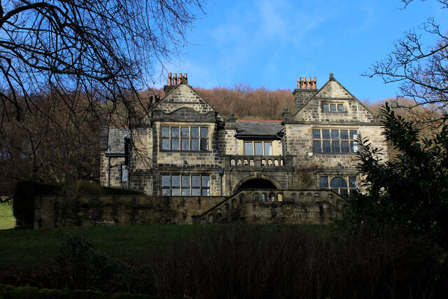
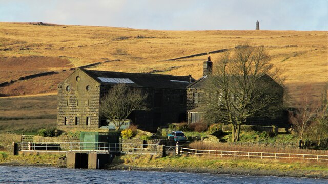
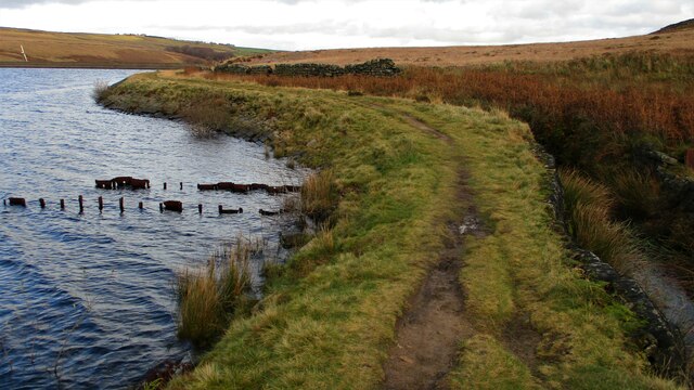
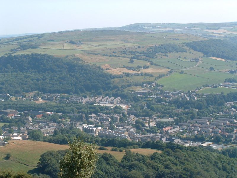
Tenter Hill Images
Images are sourced within 2km of 53.704187/-2.004007 or Grid Reference SD9923. Thanks to Geograph Open Source API. All images are credited.
Tenter Hill is located at Grid Ref: SD9923 (Lat: 53.704187, Lng: -2.004007)
Division: West Riding
Unitary Authority: Calderdale
Police Authority: West Yorkshire
What 3 Words
///clocks.uppermost.models. Near Mytholmroyd, West Yorkshire
Nearby Locations
Related Wikis

Cragg Vale
Cragg Vale is a village in Calderdale, West Yorkshire, England, located south of Mytholmroyd on the B6138 road which joins the A58 and the A646. The village...

Upper Calder Valley
The Upper Calder Valley lies in West Yorkshire, in northern England, and covers the towns of Todmorden, Hebden Bridge, Mytholmroyd, Luddendenfoot, and...

Stoodley Pike
Stoodley Pike is a 1,300-foot (400 m) hill in the south Pennines in West Yorkshire in northern England. It is noted for the 121-foot (37 m) Stoodley Pike...

Calderdale
Calderdale is a metropolitan borough of West Yorkshire, England, which had a population of 211,439. It takes its name from the River Calder, and dale,...

Scout Rock
Scout Rock (known locally as Scout Rocks), is a rock face, once a quarry, cut into a hill called Hathershelf Scout and is on the south side of the Upper...

Mytholmroyd railway station
Mytholmroyd railway station serves the communities of Mytholmroyd, Luddendenfoot, Midgley, Cragg Vale, and surrounding areas in West Yorkshire, England...
Mytholmroyd
Mytholmroyd (pronounced ) is a large village and former civil parish, now in the parish of Hebden Royd, in the Calderdale district, in West Yorkshire,...

Erringden
Erringden is a civil parish in the Metropolitan Borough of Calderdale in West Yorkshire, England. Previously it was a township within the chapelry of Heptonstall...
Nearby Amenities
Located within 500m of 53.704187,-2.004007Have you been to Tenter Hill?
Leave your review of Tenter Hill below (or comments, questions and feedback).