Horseshoe Plain
Downs, Moorland in Durham
England
Horseshoe Plain

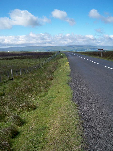
Horseshoe Plain, located in Durham, England, is a picturesque and expansive area known for its captivating natural beauty and varied landscapes. Nestled within the Durham Downs and Moorland region, this plain offers a scenic escape for nature enthusiasts and hikers. Stretching over a vast area of approximately 10 square kilometers, Horseshoe Plain is characterized by its gently rolling hills, lush meadows, and patches of dense woodland.
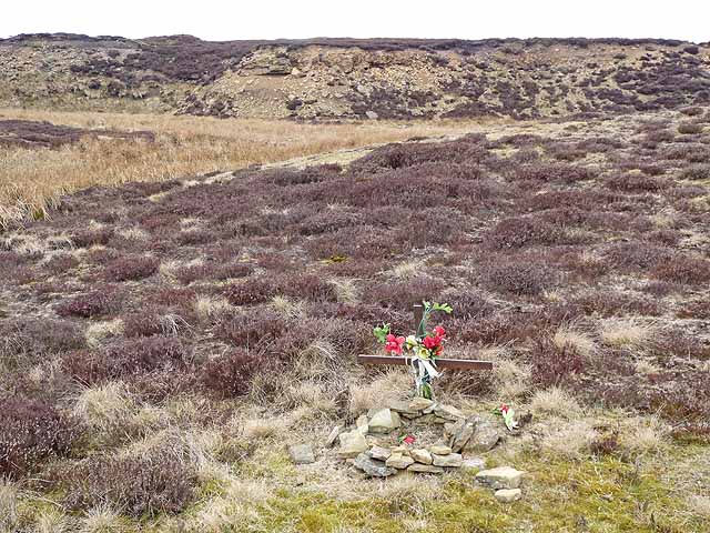
The plain derives its name from its distinctive horseshoe-shaped formation, which is evident when viewed from above. The area boasts a diverse range of flora and fauna, making it a popular destination for wildlife enthusiasts. Visitors can expect to encounter various bird species, small mammals, and even rare plants that thrive in the region's unique ecosystem.
Horseshoe Plain offers numerous recreational activities for outdoor enthusiasts. The vast network of well-maintained hiking trails provides opportunities for leisurely strolls or challenging treks, catering to all levels of experience. Cyclists can also enjoy the scenic routes that weave through the plain, offering breathtaking views at every turn.
The plain is easily accessible, with several entry points and ample parking facilities. It is also well-connected to nearby towns and villages, making it a convenient day trip for visitors. Facilities such as picnic areas and restrooms are available, ensuring a comfortable and enjoyable experience for all.
Overall, Horseshoe Plain in Durham presents a serene and captivating natural landscape, offering a tranquil escape from the bustling city life. Whether exploring the meandering trails, observing wildlife, or simply enjoying a picnic amidst breathtaking scenery, this area provides an ideal setting for nature lovers and outdoor enthusiasts alike.
If you have any feedback on the listing, please let us know in the comments section below.
Horseshoe Plain Images
Images are sourced within 2km of 54.798584/-2.0165029 or Grid Reference NY9944. Thanks to Geograph Open Source API. All images are credited.


Horseshoe Plain is located at Grid Ref: NY9944 (Lat: 54.798584, Lng: -2.0165029)
Unitary Authority: County Durham
Police Authority: Durham
What 3 Words
///canoe.factories.amber. Near Stanhope, Co. Durham
Nearby Locations
Related Wikis

Blanchland railway station
Blanchland railway station served the village of Blanchland, Northumberland, England, from 1845 to 1965 on the Stanhope and Tyne Railway. == History... ==
Muggleswick, Stanhope and Edmundbyers Commons and Blanchland Moor
Muggleswick, Stanhope and Edmundbyers Commons and Blanchland Moor is a Site of Special Scientific Interest in County Durham and Northumberland, England...
Weardale Rural District
Weardale was a rural district in County Durham, England from 1894 to 1974. It was formed under the Local Government Act 1894 as a successor to the Weardale...

Heathery Burn Cave
Heathery Burn Cave is a cave near Stanhope, County Durham, England, in which a large collection of Late Bronze Age weapons and tools was discovered and...

Crawleyside
Crawleyside is a village in the civil parish of Stanhope, in County Durham, England. It is situated to the north of Stanhope, in Weardale. In the 2001...
Ramshaw, Consett
Ramshaw is a small village in County Durham, in England. It is situated to the south of Hunstanworth, a few miles west of Consett. Lead mining was an important...
Crawley railway station (Durham)
Crawley railway station served the village of Crawleyside, County Durham, England, from 1845 to 1846 on the Stanhope and Tyne Railway. == History == The...

Hunstanworth
Hunstanworth is a village in County Durham, England. It is situated approximately 10 miles to the west of Consett, south-west of the village of Blanchland...
Have you been to Horseshoe Plain?
Leave your review of Horseshoe Plain below (or comments, questions and feedback).