Heathfield and Waldron

Civil Parish in Sussex Wealden

England

Heathfield and Waldron

A267 north of the junction with the B2102 The A267 road is a 21 mile long road from Tunbridge Wells <a href="https://www.geograph.org.uk/photo/6669020">TQ5838 : A26, A267 junction</a> to Horsebridge.
Website: <span class="nowrap"><a title="http://www.sabre-roads.org.uk/wiki/index.php?title=A267" rel="nofollow ugc noopener" href="http://www.sabre-roads.org.uk/wiki/index.php?title=A267">Link</a><img style="margin-left:2px;" alt="External link" title="External link - shift click to open in new window" src="https://s1.geograph.org.uk/img/external.png" width="10" height="10"/></span>
A267 north of the junction with the B2102 Credit: N Chadwick

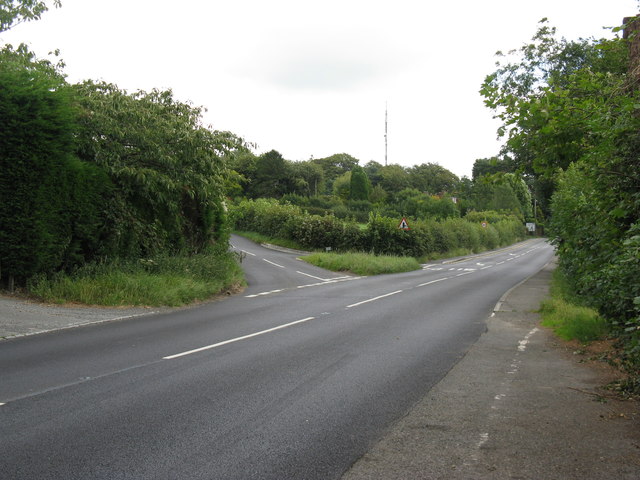
Heathfield and Waldron is a civil parish located in the Wealden district of East Sussex, England. It is situated approximately 15 miles east of the county town of Lewes and 17 miles north of Eastbourne. The parish is made up of two villages, Heathfield and Waldron, as well as several smaller hamlets.

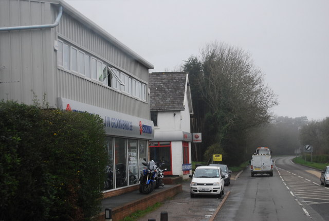
Heathfield, the larger of the two villages, is a bustling market town with a population of around 5,000 people. It is known for its attractive High Street, lined with a variety of independent shops, cafes, and traditional pubs. The town also has a range of amenities including schools, a library, a leisure center, and a medical center.

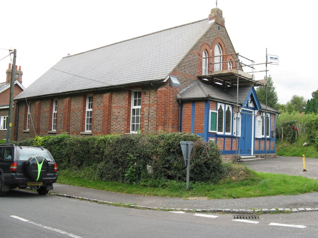
Waldron, on the other hand, is a smaller village with a more rural feel. It is characterized by its picturesque cottages, charming village green, and the 11th-century St. Bartholomew's Church. The village has a close-knit community and is surrounded by beautiful countryside, making it a popular spot for walking and outdoor activities.

The civil parish as a whole benefits from its idyllic location in the heart of the Sussex countryside. It offers residents and visitors a tranquil setting with ample opportunities for exploring the surrounding nature reserves, woodlands, and farmland. The area is also rich in history, with numerous historical sites and landmarks, including the ruins of Bayham Abbey and the 14th-century Bodiam Castle, just a short drive away.

Overall, Heathfield and Waldron, Sussex, is a charming and vibrant civil parish that combines the best of rural living with convenient amenities and access to natural beauty.

If you have any feedback on the listing, please let us know in the comments section below.

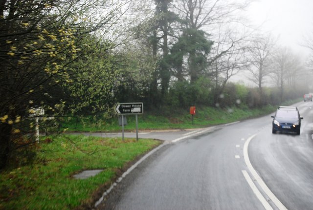
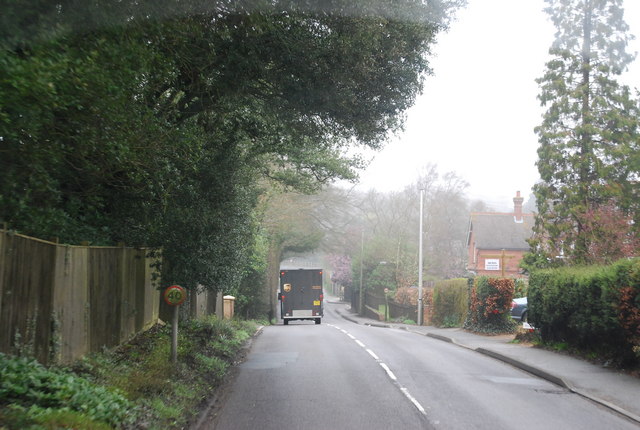
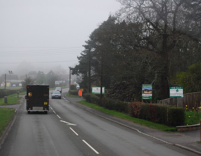
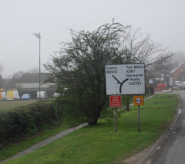
Heathfield and Waldron Images

Images are sourced within 2km of 50.968488/0.205997 or Grid Reference TQ5421. Thanks to Geograph Open Source API. All images are credited.

A267 north of the junction with the B2102 The A267 road is a 21 mile long road from Tunbridge Wells <a href="https://www.geograph.org.uk/photo/6669020">TQ5838 : A26, A267 junction</a> to Horsebridge.
Website: <span class="nowrap"><a title="http://www.sabre-roads.org.uk/wiki/index.php?title=A267" rel="nofollow ugc noopener" href="http://www.sabre-roads.org.uk/wiki/index.php?title=A267">Link</a><img style="margin-left:2px;" alt="External link" title="External link - shift click to open in new window" src="https://s1.geograph.org.uk/img/external.png" width="10" height="10"/></span>
A267 north of the junction with the B2102
The A267 road is a 21 mile long road from Tunbridge Wells TQ5838 : A26, A267 junction to Horsebridge. Website: LinkExternal link
A267 looking south The A267 road is a 21 mile long road from Tunbridge Wells <a href="https://www.geograph.org.uk/photo/6669020">TQ5838 : A26, A267 junction</a> to Horsebridge.
Website: <span class="nowrap"><a title="http://www.sabre-roads.org.uk/wiki/index.php?title=A267" rel="nofollow ugc noopener" href="http://www.sabre-roads.org.uk/wiki/index.php?title=A267">Link</a><img style="margin-left:2px;" alt="External link" title="External link - shift click to open in new window" src="https://s1.geograph.org.uk/img/external.png" width="10" height="10"/></span>
A267 looking south
The A267 road is a 21 mile long road from Tunbridge Wells TQ5838 : A26, A267 junction to Horsebridge. Website: LinkExternal link
B2102, Nursery Lane junction
B2102, Possingworth Park
B2102, Waldron Down
B2102, Waldron Down
B2102 at Sharlands
B2102 at Sharlands
A267, Cross in Hand The A267 road is a 21 mile long road from Tunbridge Wells <a href="https://www.geograph.org.uk/photo/6669020">TQ5838 : A26, A267 junction</a> to Horsebridge.
Website: <span class="nowrap"><a title="http://www.sabre-roads.org.uk/wiki/index.php?title=A267" rel="nofollow ugc noopener" href="http://www.sabre-roads.org.uk/wiki/index.php?title=A267">Link</a><img style="margin-left:2px;" alt="External link" title="External link - shift click to open in new window" src="https://s1.geograph.org.uk/img/external.png" width="10" height="10"/></span>
A267, Cross in Hand
The A267 road is a 21 mile long road from Tunbridge Wells TQ5838 : A26, A267 junction to Horsebridge. Website: LinkExternal link
Road sign, Cross in Hand
JW Groombridge, Cross In Hand Cross in Hand is a village in East Sussex, close to Heathfield. It is located around the junction of the A267 and B2102.
Wikipedia: <span class="nowrap"><a title="https://en.wikipedia.org/wiki/Cross_In_Hand" rel="nofollow ugc noopener" href="https://en.wikipedia.org/wiki/Cross_In_Hand">Link</a><img style="margin-left:2px;" alt="External link" title="External link - shift click to open in new window" src="https://s1.geograph.org.uk/img/external.png" width="10" height="10"/></span>
JW Groombridge, Cross In Hand
Cross in Hand is a village in East Sussex, close to Heathfield. It is located around the junction of the A267 and B2102. Wikipedia: LinkExternal link
Dad's Hill off the A267
Junction of B2102 and A267
A267 heading north The A267 road is a 21 mile long road from Tunbridge Wells <a href="https://www.geograph.org.uk/photo/6669020">TQ5838 : A26, A267 junction</a> to Horsebridge.
Website: <span class="nowrap"><a title="http://www.sabre-roads.org.uk/wiki/index.php?title=A267" rel="nofollow ugc noopener" href="http://www.sabre-roads.org.uk/wiki/index.php?title=A267">Link</a><img style="margin-left:2px;" alt="External link" title="External link - shift click to open in new window" src="https://s1.geograph.org.uk/img/external.png" width="10" height="10"/></span>
A267 heading north
The A267 road is a 21 mile long road from Tunbridge Wells TQ5838 : A26, A267 junction to Horsebridge. Website: LinkExternal link
The A267 The A267 road is a 21 mile long road from Tunbridge Wells <a href="https://www.geograph.org.uk/photo/6669020">TQ5838 : A26, A267 junction</a> to Horsebridge.
Website: <span class="nowrap"><a title="http://www.sabre-roads.org.uk/wiki/index.php?title=A267" rel="nofollow ugc noopener" href="http://www.sabre-roads.org.uk/wiki/index.php?title=A267">Link</a><img style="margin-left:2px;" alt="External link" title="External link - shift click to open in new window" src="https://s1.geograph.org.uk/img/external.png" width="10" height="10"/></span>
The A267
The A267 road is a 21 mile long road from Tunbridge Wells TQ5838 : A26, A267 junction to Horsebridge. Website: LinkExternal link
New Mill, Cross in Hand in 1967 In the days when it had all its sails.
New Mill, Cross in Hand in 1967
In the days when it had all its sails.
Methodist Chapel under repair On the corner of Firgrove Road and the B2102 at Cross in Hand.
Methodist Chapel under repair
On the corner of Firgrove Road and the B2102 at Cross in Hand.
Dads Hill off the B2102 New Mill is on Dads Hill.
Dads Hill off the B2102
New Mill is on Dads Hill.
St Bartholomew's Church, Cross in Hand Built 1863
St Bartholomew's Church, Cross in Hand
Built 1863
Show me another place!

Heathfield and Waldron is located at Grid Ref: TQ5421 (Lat: 50.968488, Lng: 0.205997)

Administrative County: East Sussex

District: Wealden

Police Authority: Sussex

What 3 Words

///shorts.debit.norms. Near Heathfield, East Sussex

Related Wikis

Roser's Cross

Roser's Cross is a village in the Wealden district of East Sussex.

Holy Cross Priory, Cross-in-Hand

Holy Cross Priory, Cross-in-Hand, is a priory of the Benedictine Sisters of Grace and Compassion which provides homes for the elderly. It was established...

Selwyns Wood

Selwyns Wood is a 11-hectare (27-acre) nature reserve west of Heathfield in Sussex. It is managed by the Sussex Wildlife Trust.This reserve has woodland...

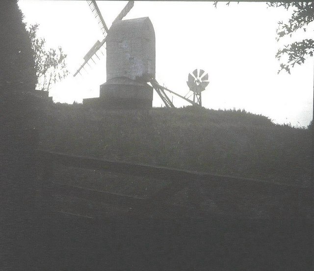
New Mill, Cross-in-Hand

New Mill is a Grade II* listed post mill at Cross in Hand near Heathfield, East Sussex, England. It was the last windmill working commercially by wind...

Cross-in-Hand

Cross-in-Hand is a small village outside Heathfield town to its west, in the Wealden District situated in East Sussex, England. It is occasionally referred...

Heathfield transmitting station

The Heathfield transmitting station is a facility for FM and television transmission at Heathfield, East Sussex, UK (grid reference TQ566220). Opened in...

Waldron Cutting

Waldron Cutting is a 0.2-hectare (0.49-acre) geological Site of Special Scientific Interest in East Sussex. It is a Geological Conservation Review site...

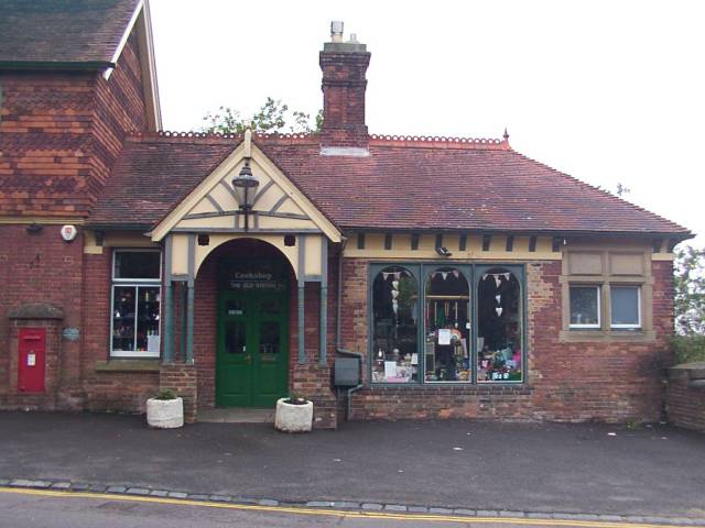
Heathfield railway station (East Sussex)

Heathfield railway station was on the Cuckoo Line between Horam and Mayfield, serving the market town of Heathfield. It was opened in 1880 by London, Brighton...

Nearby Amenities

Located within 500m of 50.968488,0.205997
Roser's Cross
Place: village
Lat/Long: 50.964452/0.205943
Firgrove Farm
Addr City: Cross In Hand
Addr Postcode: TN21 0QL
Addr Street: Firgrove Road
Place: farm
Source Name: OS_OpenData_Streetview
Lat/Long: 50.9664156/0.2110282
The data included in this document is from www.openstreetmap.org. The data is made available under ODbL.

Have you been to Heathfield and Waldron?

Leave your review of Heathfield and Waldron below (or comments, questions and feedback).