Baker's Common Wood

Wood, Forest in Sussex Wealden

England

Baker's Common Wood

A267 north of the junction with the B2102 The A267 road is a 21 mile long road from Tunbridge Wells <a href="https://www.geograph.org.uk/photo/6669020">TQ5838 : A26, A267 junction</a> to Horsebridge.
Website: <span class="nowrap"><a title="http://www.sabre-roads.org.uk/wiki/index.php?title=A267" rel="nofollow ugc noopener" href="http://www.sabre-roads.org.uk/wiki/index.php?title=A267">Link</a><img style="margin-left:2px;" alt="External link" title="External link - shift click to open in new window" src="https://s1.geograph.org.uk/img/external.png" width="10" height="10"/></span>
A267 north of the junction with the B2102 Credit: N Chadwick

Baker's Common Wood, located in Sussex, England, is a picturesque forest that spans an area of approximately 500 acres. This woodland is renowned for its diverse range of flora and fauna, making it a popular destination for nature enthusiasts and wildlife lovers.

The wood is predominantly composed of deciduous trees, including oak, beech, and ash, which create a dense canopy overhead, providing shade and shelter for the thriving ecosystem below. The forest floor is blanketed with an array of wildflowers, ferns, and mosses, adding to the enchanting atmosphere of the wood.

Baker's Common Wood is home to a wide variety of bird species, such as woodpeckers, owls, and various songbirds. Visitors can often hear the melodious sounds of these birds echoing through the trees. Additionally, the wood is inhabited by mammals like deer, foxes, and badgers, which can occasionally be spotted by lucky observers.

The woodland offers several walking trails, allowing visitors to explore its natural beauty at their own pace. These paths wind through the forest, leading to tranquil ponds, bubbling streams, and hidden glades, providing a peaceful retreat from the hustle and bustle of everyday life.

Due to its rich biodiversity and natural charm, Baker's Common Wood has been designated as a Site of Special Scientific Interest (SSSI) to protect its unique ecosystem. The wood serves as an important habitat for countless species, providing a vital contribution to the local ecosystem.

Whether it be for a leisurely stroll, birdwatching, or simply immersing oneself in nature, Baker's Common Wood offers a serene and captivating experience for all who visit.

If you have any feedback on the listing, please let us know in the comments section below.

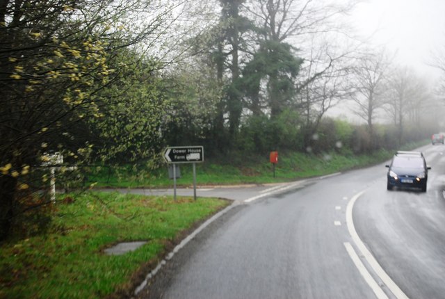
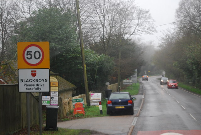
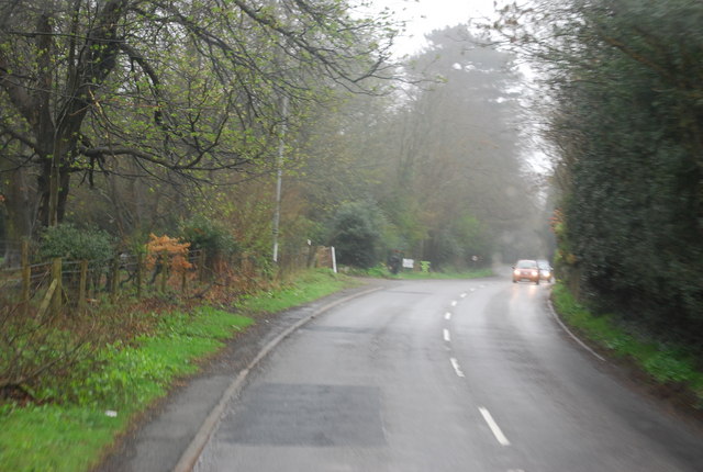
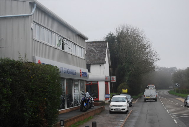
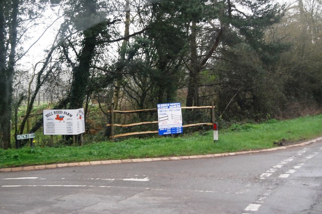
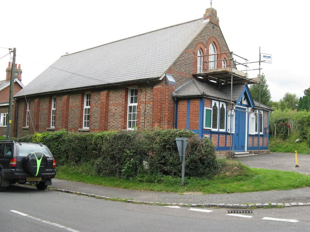
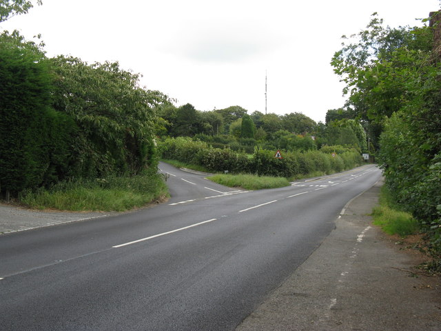
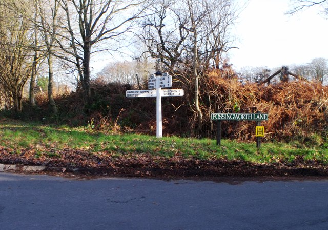
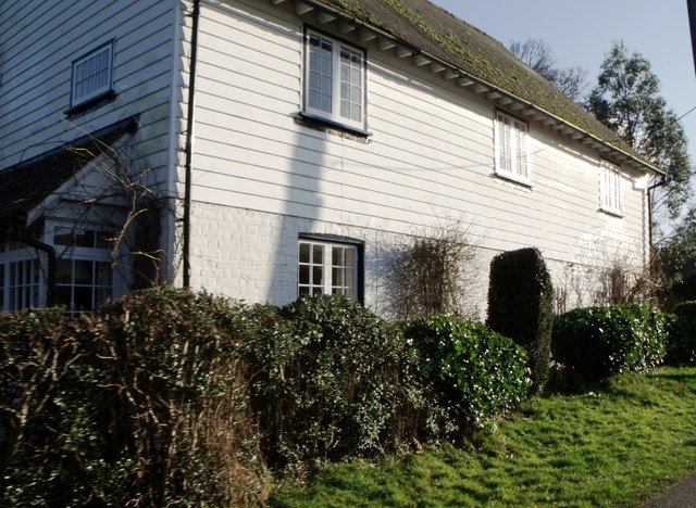
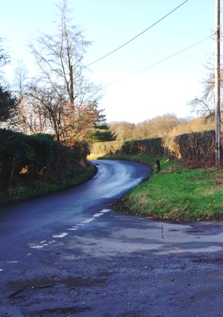
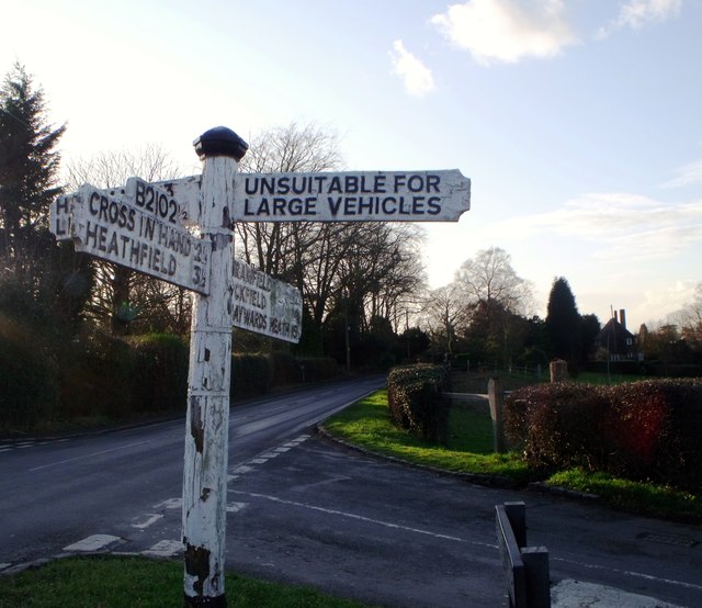
Baker's Common Wood Images

Images are sourced within 2km of 50.972571/0.19367207 or Grid Reference TQ5421. Thanks to Geograph Open Source API. All images are credited.

A267 north of the junction with the B2102 The A267 road is a 21 mile long road from Tunbridge Wells <a href="https://www.geograph.org.uk/photo/6669020">TQ5838 : A26, A267 junction</a> to Horsebridge.
Website: <span class="nowrap"><a title="http://www.sabre-roads.org.uk/wiki/index.php?title=A267" rel="nofollow ugc noopener" href="http://www.sabre-roads.org.uk/wiki/index.php?title=A267">Link</a><img style="margin-left:2px;" alt="External link" title="External link - shift click to open in new window" src="https://s1.geograph.org.uk/img/external.png" width="10" height="10"/></span>
A267 north of the junction with the B2102
The A267 road is a 21 mile long road from Tunbridge Wells TQ5838 : A26, A267 junction to Horsebridge. Website: LinkExternal link
A267 looking south The A267 road is a 21 mile long road from Tunbridge Wells <a href="https://www.geograph.org.uk/photo/6669020">TQ5838 : A26, A267 junction</a> to Horsebridge.
Website: <span class="nowrap"><a title="http://www.sabre-roads.org.uk/wiki/index.php?title=A267" rel="nofollow ugc noopener" href="http://www.sabre-roads.org.uk/wiki/index.php?title=A267">Link</a><img style="margin-left:2px;" alt="External link" title="External link - shift click to open in new window" src="https://s1.geograph.org.uk/img/external.png" width="10" height="10"/></span>
A267 looking south
The A267 road is a 21 mile long road from Tunbridge Wells TQ5838 : A26, A267 junction to Horsebridge. Website: LinkExternal link
B2102, Nursery Lane junction
B2102, Possingworth Park
B2102, Waldron Down
B2102, Waldron Down
B2102 at Sharlands
B2102 at Sharlands
Entering Blackboys, B2102
B2192, Blackboys The B2192, runs 10 miles from Earwig Corner <a href="https://www.geograph.org.uk/photo/1838834">TQ4211 : Earwig Corner</a> on the A26 immediately northeast of Lewes as far as Blackboys, between Uckfield and Heathfield.
B2192, Blackboys
The B2192, runs 10 miles from Earwig Corner TQ4211 : Earwig Corner on the A26 immediately northeast of Lewes as far as Blackboys, between Uckfield and Heathfield.
JW Groombridge, Cross In Hand Cross in Hand is a village in East Sussex, close to Heathfield. It is located around the junction of the A267 and B2102.
Wikipedia: <span class="nowrap"><a title="https://en.wikipedia.org/wiki/Cross_In_Hand" rel="nofollow ugc noopener" href="https://en.wikipedia.org/wiki/Cross_In_Hand">Link</a><img style="margin-left:2px;" alt="External link" title="External link - shift click to open in new window" src="https://s1.geograph.org.uk/img/external.png" width="10" height="10"/></span>
JW Groombridge, Cross In Hand
Cross in Hand is a village in East Sussex, close to Heathfield. It is located around the junction of the A267 and B2102. Wikipedia: LinkExternal link
Dad's Hill off the A267
Junction of B2102 and A267
New Mill, Cross in Hand in 1967 In the days when it had all its sails.
New Mill, Cross in Hand in 1967
In the days when it had all its sails.
Methodist Chapel under repair On the corner of Firgrove Road and the B2102 at Cross in Hand.
Methodist Chapel under repair
On the corner of Firgrove Road and the B2102 at Cross in Hand.
Dads Hill off the B2102 New Mill is on Dads Hill.
Dads Hill off the B2102
New Mill is on Dads Hill.
Signboard near Blackboys, East Sussex
Weather boarded house, Nursery Lane, Waldron Down
Road junction, Pounsley, East Sussex
Signboard, Blackboys, East Sussex
Show me another place!

Baker's Common Wood is located at Grid Ref: TQ5421 (Lat: 50.972571, Lng: 0.19367207)

Administrative County: East Sussex

District: Wealden

Police Authority: Sussex

What 3 Words

///uttering.unwanted.handicaps. Near Heathfield, East Sussex

Related Wikis

Holy Cross Priory, Cross-in-Hand

Holy Cross Priory, Cross-in-Hand, is a priory of the Benedictine Sisters of Grace and Compassion which provides homes for the elderly. It was established...

Roser's Cross

Roser's Cross is a village in the Wealden district of East Sussex.

Selwyns Wood

Selwyns Wood is a 11-hectare (27-acre) nature reserve west of Heathfield in Sussex. It is managed by the Sussex Wildlife Trust.This reserve has woodland...

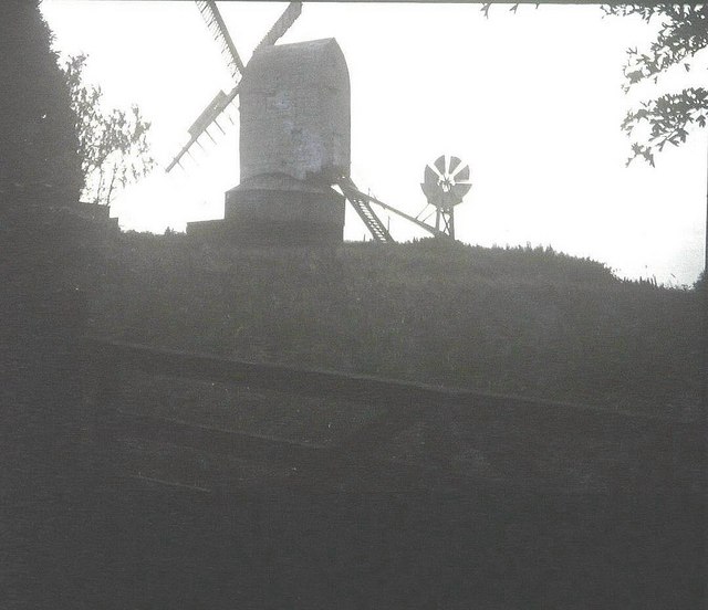
New Mill, Cross-in-Hand

New Mill is a Grade II* listed post mill at Cross in Hand near Heathfield, East Sussex, England. It was the last windmill working commercially by wind...

Cross-in-Hand

Cross-in-Hand is a small village outside Heathfield town to its west, in the Wealden District situated in East Sussex, England. It is occasionally referred...

Great Bush Railway

The Great Bush Railway is a private, 2 ft (610 mm) narrow gauge running round the edge of Tinkers Park, Hadlow Down, Sussex. The railway is operated by...

Heathfield transmitting station

The Heathfield transmitting station is a facility for FM and television transmission at Heathfield, East Sussex, UK (grid reference TQ566220). Opened in...

Five Ash Down Independent Chapel

Five Ash Down Independent Chapel is an independent Evangelical church in the Reformed (Calvinist) tradition in the hamlet of Five Ash Down, East Sussex...

Nearby Amenities

Located within 500m of 50.972571,0.19367207
Holy Cross Priory Village
Place: hamlet
Website: https://www.holycrosspriory.co.uk/
Lat/Long: 50.9718258/0.19939
Possingworth Park
Place: locality
Lat/Long: 50.9693463/0.194149
Addr City: Cross In Hand
Addr Place: Holy Cross Priory
Addr Postcode: TN21 0DZ
Lat/Long: 50.9713667/0.1980951
Addr City: Cross In Hand
Addr Place: Holy Cross Priory
Addr Postcode: TN21 0EW
Lat/Long: 50.9716529/0.1980776
Barrier: stile
Lat/Long: 50.9754276/0.1892915
Barrier: stile
Lat/Long: 50.9747348/0.189671
Barrier: stile
Lat/Long: 50.9747863/0.1895476
The data included in this document is from www.openstreetmap.org. The data is made available under ODbL.

Have you been to Baker's Common Wood?

Leave your review of Baker's Common Wood below (or comments, questions and feedback).