Baker's Common
Downs, Moorland in Sussex Wealden
England
Baker's Common

Baker's Common is a picturesque area located in the heart of Sussex, England. Situated amidst the stunning Sussex Downs, this vast expanse of moorland offers a truly breath-taking natural landscape. Stretching across approximately 100 acres, Baker's Common is home to a diverse range of flora and fauna, making it a haven for nature enthusiasts and wildlife lovers.
The moorland is characterized by its gently rolling hills, covered in heather, gorse, and bracken. These vibrant plant species create a stunning tapestry of colors throughout the year, with the heather blooming in shades of purple and pink during the summer months. The area is also dotted with small ponds and marshes, providing a habitat for an array of bird species, amphibians, and invertebrates.
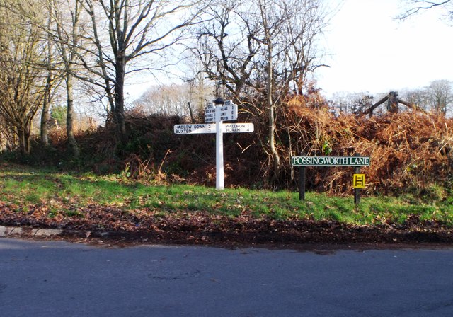
Baker's Common is a popular destination for outdoor activities such as hiking, birdwatching, and photography. The numerous footpaths and trails that crisscross the moorland offer visitors the opportunity to explore its natural wonders at their own pace. The panoramic views from the higher points of Baker's Common are particularly awe-inspiring, providing sweeping vistas of the surrounding countryside.
In addition to its natural beauty, Baker's Common also holds historical significance. The area was once used for grazing livestock and gathering peat for fuel, a practice that can be traced back centuries. The remnants of stone walls and old peat cuttings still exist, serving as a reminder of the area's rich cultural heritage.
Overall, Baker's Common in Sussex is a captivating destination that combines scenic beauty, biodiversity, and historical charm, making it an ideal place for visitors seeking a tranquil escape in nature.
If you have any feedback on the listing, please let us know in the comments section below.
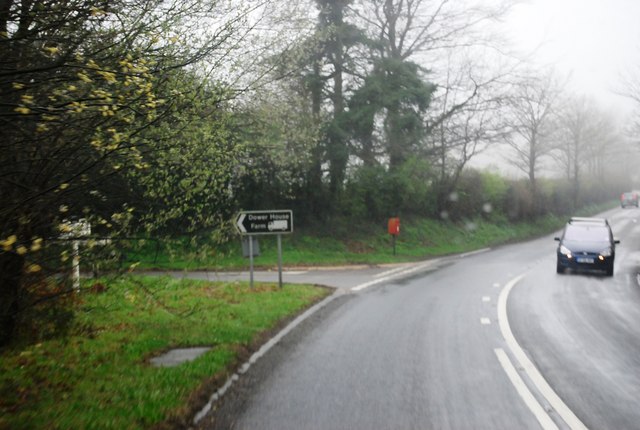
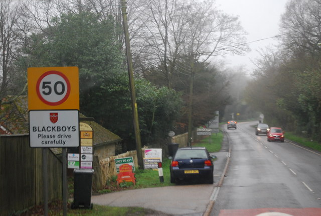
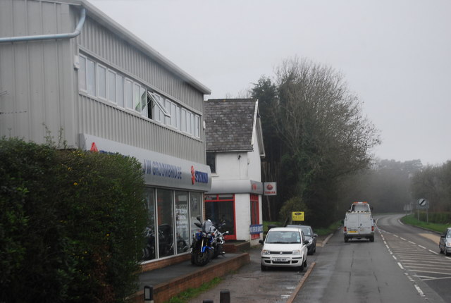
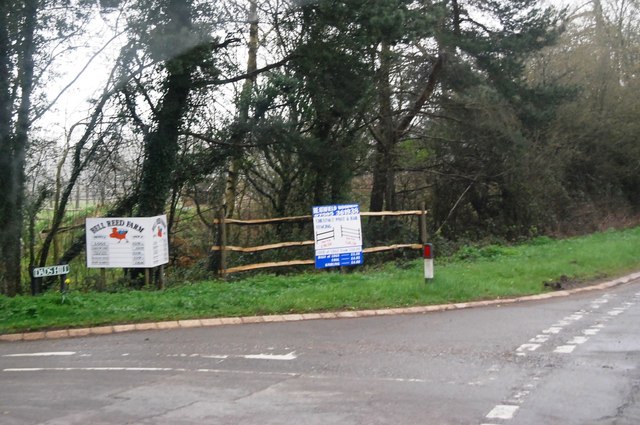
Baker's Common Images
Images are sourced within 2km of 50.974785/0.19599865 or Grid Reference TQ5421. Thanks to Geograph Open Source API. All images are credited.


Baker's Common is located at Grid Ref: TQ5421 (Lat: 50.974785, Lng: 0.19599865)
Administrative County: East Sussex
District: Wealden
Police Authority: Sussex
What 3 Words
///blush.history.tests. Near Heathfield, East Sussex
Related Wikis

Holy Cross Priory, Cross-in-Hand
Holy Cross Priory, Cross-in-Hand, is a priory of the Benedictine Sisters of Grace and Compassion which provides homes for the elderly. It was established...

Roser's Cross
Roser's Cross is a village in the Wealden district of East Sussex.

Selwyns Wood
Selwyns Wood is a 11-hectare (27-acre) nature reserve west of Heathfield in Sussex. It is managed by the Sussex Wildlife Trust.This reserve has woodland...

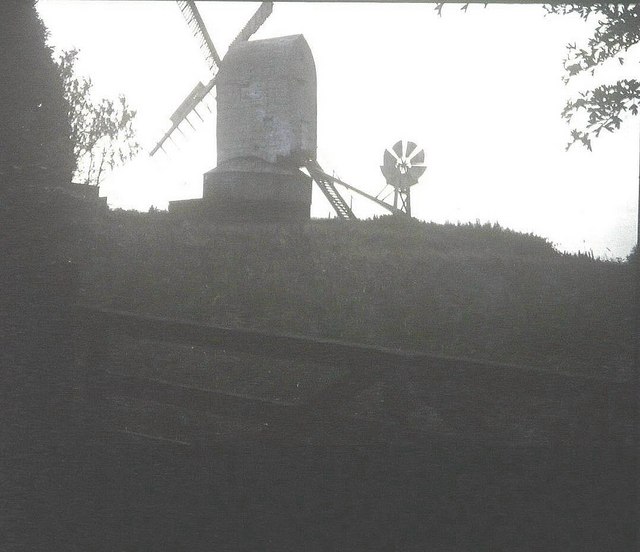
New Mill, Cross-in-Hand
New Mill is a Grade II* listed post mill at Cross in Hand near Heathfield, East Sussex, England. It was the last windmill working commercially by wind...

Cross-in-Hand
Cross-in-Hand is a small village outside Heathfield town to its west, in the Wealden District situated in East Sussex, England. It is occasionally referred...

Great Bush Railway
The Great Bush Railway is a private, 2 ft (610 mm) narrow gauge running round the edge of Tinkers Park, Hadlow Down, Sussex. The railway is operated by...

Heathfield transmitting station
The Heathfield transmitting station is a facility for FM and television transmission at Heathfield, East Sussex, UK (grid reference TQ566220). Opened in...

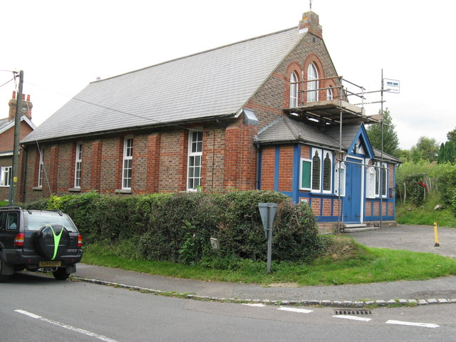
Five Ash Down Independent Chapel
Five Ash Down Independent Chapel is an independent Evangelical church in the Reformed (Calvinist) tradition in the hamlet of Five Ash Down, East Sussex...
Nearby Amenities
Located within 500m of 50.974785,0.19599865Have you been to Baker's Common?
Leave your review of Baker's Common below (or comments, questions and feedback).