Waldron Down Wood

Wood, Forest in Sussex Wealden

England

Waldron Down Wood

A267 north of the junction with the B2102 The A267 road is a 21 mile long road from Tunbridge Wells <a href="https://www.geograph.org.uk/photo/6669020">TQ5838 : A26, A267 junction</a> to Horsebridge.
Website: <span class="nowrap"><a title="http://www.sabre-roads.org.uk/wiki/index.php?title=A267" rel="nofollow ugc noopener" href="http://www.sabre-roads.org.uk/wiki/index.php?title=A267">Link</a><img style="margin-left:2px;" alt="External link" title="External link - shift click to open in new window" src="https://s1.geograph.org.uk/img/external.png" width="10" height="10"/></span>
A267 north of the junction with the B2102 Credit: N Chadwick

Waldron Down Wood is a picturesque woodland located in the county of Sussex, England. Covering an area of approximately 200 acres, it is situated on the slopes of a beautiful downland hill, offering stunning views of the surrounding countryside. The wood is part of the High Weald Area of Outstanding Natural Beauty, known for its diverse wildlife and ancient woodland.

The woodland is predominantly made up of a mixture of broadleaf trees, including oak, beech, and ash. These towering trees create a dense canopy, casting dappled sunlight onto the forest floor below. The undergrowth is rich and varied, with a carpet of bluebells in the spring, followed by a profusion of wildflowers in the summer months.

Waldron Down Wood is a popular destination for nature enthusiasts and walkers alike, with a network of well-maintained footpaths and trails crisscrossing the area. These paths provide visitors with the opportunity to explore the wood's tranquil surroundings, allowing them to immerse themselves in the peaceful ambiance of the ancient forest.

The wood is also home to a wide range of wildlife, including deer, badgers, and a plethora of bird species. Birdwatchers can spot woodpeckers, jays, and thrushes, among others, as they flit through the trees or serenade visitors with their melodic songs.

Overall, Waldron Down Wood is a haven of natural beauty and tranquility, offering a welcome respite from the pressures of modern life. Whether visitors are seeking a leisurely stroll, a quiet spot for contemplation, or a chance to observe nature in all its glory, this Sussex woodland is a must-visit destination.

If you have any feedback on the listing, please let us know in the comments section below.

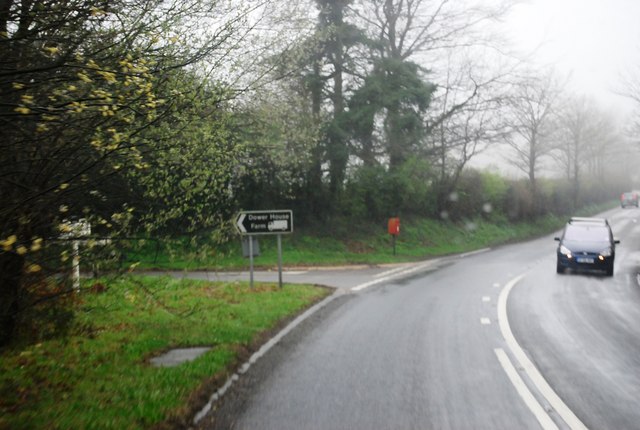
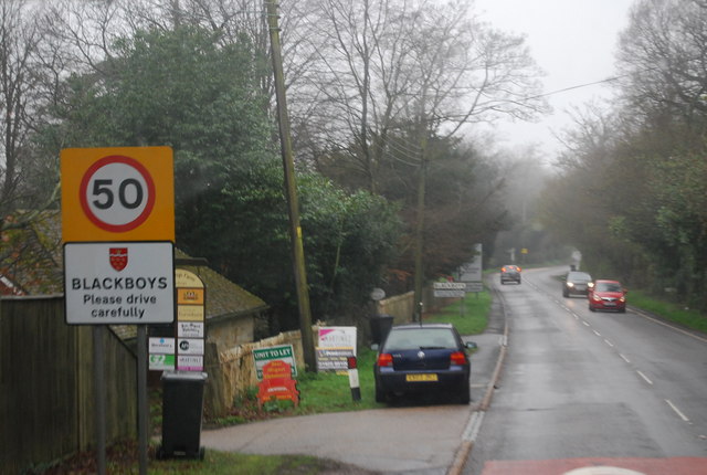
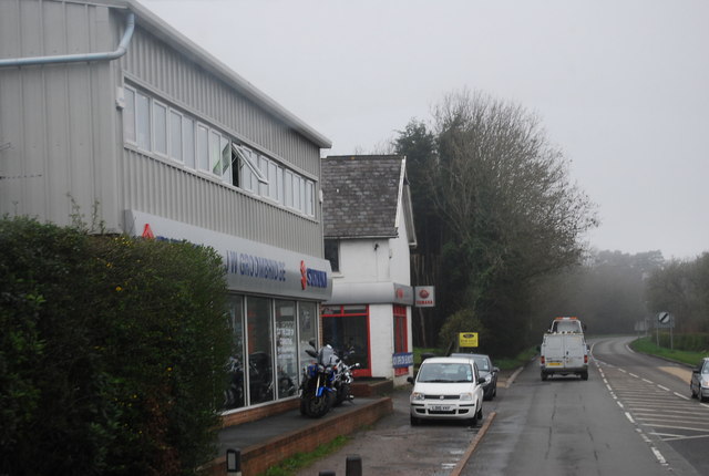
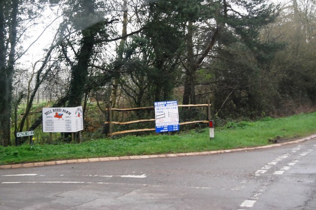
Waldron Down Wood Images

Images are sourced within 2km of 50.976316/0.19447535 or Grid Reference TQ5421. Thanks to Geograph Open Source API. All images are credited.

A267 north of the junction with the B2102 The A267 road is a 21 mile long road from Tunbridge Wells <a href="https://www.geograph.org.uk/photo/6669020">TQ5838 : A26, A267 junction</a> to Horsebridge.
Website: <span class="nowrap"><a title="http://www.sabre-roads.org.uk/wiki/index.php?title=A267" rel="nofollow ugc noopener" href="http://www.sabre-roads.org.uk/wiki/index.php?title=A267">Link</a><img style="margin-left:2px;" alt="External link" title="External link - shift click to open in new window" src="https://s1.geograph.org.uk/img/external.png" width="10" height="10"/></span>
A267 north of the junction with the B2102
The A267 road is a 21 mile long road from Tunbridge Wells TQ5838 : A26, A267 junction to Horsebridge. Website: LinkExternal link
A267 looking south The A267 road is a 21 mile long road from Tunbridge Wells <a href="https://www.geograph.org.uk/photo/6669020">TQ5838 : A26, A267 junction</a> to Horsebridge.
Website: <span class="nowrap"><a title="http://www.sabre-roads.org.uk/wiki/index.php?title=A267" rel="nofollow ugc noopener" href="http://www.sabre-roads.org.uk/wiki/index.php?title=A267">Link</a><img style="margin-left:2px;" alt="External link" title="External link - shift click to open in new window" src="https://s1.geograph.org.uk/img/external.png" width="10" height="10"/></span>
A267 looking south
The A267 road is a 21 mile long road from Tunbridge Wells TQ5838 : A26, A267 junction to Horsebridge. Website: LinkExternal link
B2102, Nursery Lane junction
B2102, Possingworth Park
B2102, Waldron Down
B2102, Waldron Down
B2102 at Sharlands
B2102 at Sharlands
Entering Blackboys, B2102
JW Groombridge, Cross In Hand Cross in Hand is a village in East Sussex, close to Heathfield. It is located around the junction of the A267 and B2102.
Wikipedia: <span class="nowrap"><a title="https://en.wikipedia.org/wiki/Cross_In_Hand" rel="nofollow ugc noopener" href="https://en.wikipedia.org/wiki/Cross_In_Hand">Link</a><img style="margin-left:2px;" alt="External link" title="External link - shift click to open in new window" src="https://s1.geograph.org.uk/img/external.png" width="10" height="10"/></span>
JW Groombridge, Cross In Hand
Cross in Hand is a village in East Sussex, close to Heathfield. It is located around the junction of the A267 and B2102. Wikipedia: LinkExternal link
Dad's Hill off the A267
Junction of B2102 and A267
A267 heading north The A267 road is a 21 mile long road from Tunbridge Wells <a href="https://www.geograph.org.uk/photo/6669020">TQ5838 : A26, A267 junction</a> to Horsebridge.
Website: <span class="nowrap"><a title="http://www.sabre-roads.org.uk/wiki/index.php?title=A267" rel="nofollow ugc noopener" href="http://www.sabre-roads.org.uk/wiki/index.php?title=A267">Link</a><img style="margin-left:2px;" alt="External link" title="External link - shift click to open in new window" src="https://s1.geograph.org.uk/img/external.png" width="10" height="10"/></span>
A267 heading north
The A267 road is a 21 mile long road from Tunbridge Wells TQ5838 : A26, A267 junction to Horsebridge. Website: LinkExternal link
The A267 The A267 road is a 21 mile long road from Tunbridge Wells <a href="https://www.geograph.org.uk/photo/6669020">TQ5838 : A26, A267 junction</a> to Horsebridge.
Website: <span class="nowrap"><a title="http://www.sabre-roads.org.uk/wiki/index.php?title=A267" rel="nofollow ugc noopener" href="http://www.sabre-roads.org.uk/wiki/index.php?title=A267">Link</a><img style="margin-left:2px;" alt="External link" title="External link - shift click to open in new window" src="https://s1.geograph.org.uk/img/external.png" width="10" height="10"/></span>
The A267
The A267 road is a 21 mile long road from Tunbridge Wells TQ5838 : A26, A267 junction to Horsebridge. Website: LinkExternal link
New Mill, Cross in Hand in 1967 In the days when it had all its sails.
New Mill, Cross in Hand in 1967
In the days when it had all its sails.
Methodist Chapel under repair On the corner of Firgrove Road and the B2102 at Cross in Hand.
Methodist Chapel under repair
On the corner of Firgrove Road and the B2102 at Cross in Hand.
Dads Hill off the B2102 New Mill is on Dads Hill.
Dads Hill off the B2102
New Mill is on Dads Hill.
Signboard near Blackboys, East Sussex
Weather boarded house, Nursery Lane, Waldron Down
Minor road junction, Hadlow Down
Show me another place!

Waldron Down Wood is located at Grid Ref: TQ5421 (Lat: 50.976316, Lng: 0.19447535)

Administrative County: East Sussex

District: Wealden

Police Authority: Sussex

What 3 Words

///tweed.given.lights. Near Heathfield, East Sussex

Related Wikis

Holy Cross Priory, Cross-in-Hand

Holy Cross Priory, Cross-in-Hand, is a priory of the Benedictine Sisters of Grace and Compassion which provides homes for the elderly. It was established...

Roser's Cross

Roser's Cross is a village in the Wealden district of East Sussex.

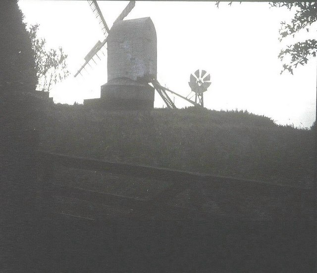
New Mill, Cross-in-Hand

New Mill is a Grade II* listed post mill at Cross in Hand near Heathfield, East Sussex, England. It was the last windmill working commercially by wind...

Selwyns Wood

Selwyns Wood is a 11-hectare (27-acre) nature reserve west of Heathfield in Sussex. It is managed by the Sussex Wildlife Trust.This reserve has woodland...

Cross-in-Hand

Cross-in-Hand is a small village outside Heathfield town to its west, in the Wealden District situated in East Sussex, England. It is occasionally referred...

Great Bush Railway

The Great Bush Railway is a private, 2 ft (610 mm) narrow gauge running round the edge of Tinkers Park, Hadlow Down, Sussex. The railway is operated by...

Five Ash Down Independent Chapel

Five Ash Down Independent Chapel is an independent Evangelical church in the Reformed (Calvinist) tradition in the hamlet of Five Ash Down, East Sussex...

Providence Chapel, Hadlow Down

Providence Chapel is a former independent Calvinistic place of worship in the village of Hadlow Down in Wealden, one of six local government districts...

Nearby Amenities

Located within 500m of 50.976316,0.19447535
Post Box
Brand: Royal Mail
Brand Wikidata: Q638098
Brand Wikipedia: en:Royal Mail
Operator: Royal Mail
Operator Wikidata: Q638098
Post Box Type: wall
Ref: TN22 70
Royal Cypher: EVIIR
Royal Cypher Wikidata: Q33102324
Lat/Long: 50.9801847/0.1921349
Barrier: stile
Lat/Long: 50.9754276/0.1892915
Barrier: stile
Lat/Long: 50.9747348/0.189671
Barrier: stile
Lat/Long: 50.9747863/0.1895476
The data included in this document is from www.openstreetmap.org. The data is made available under ODbL.

Have you been to Waldron Down Wood?

Leave your review of Waldron Down Wood below (or comments, questions and feedback).