West Field
Downs, Moorland in Norfolk King's Lynn and West Norfolk
England
West Field

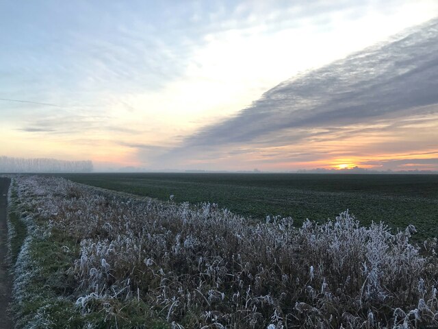
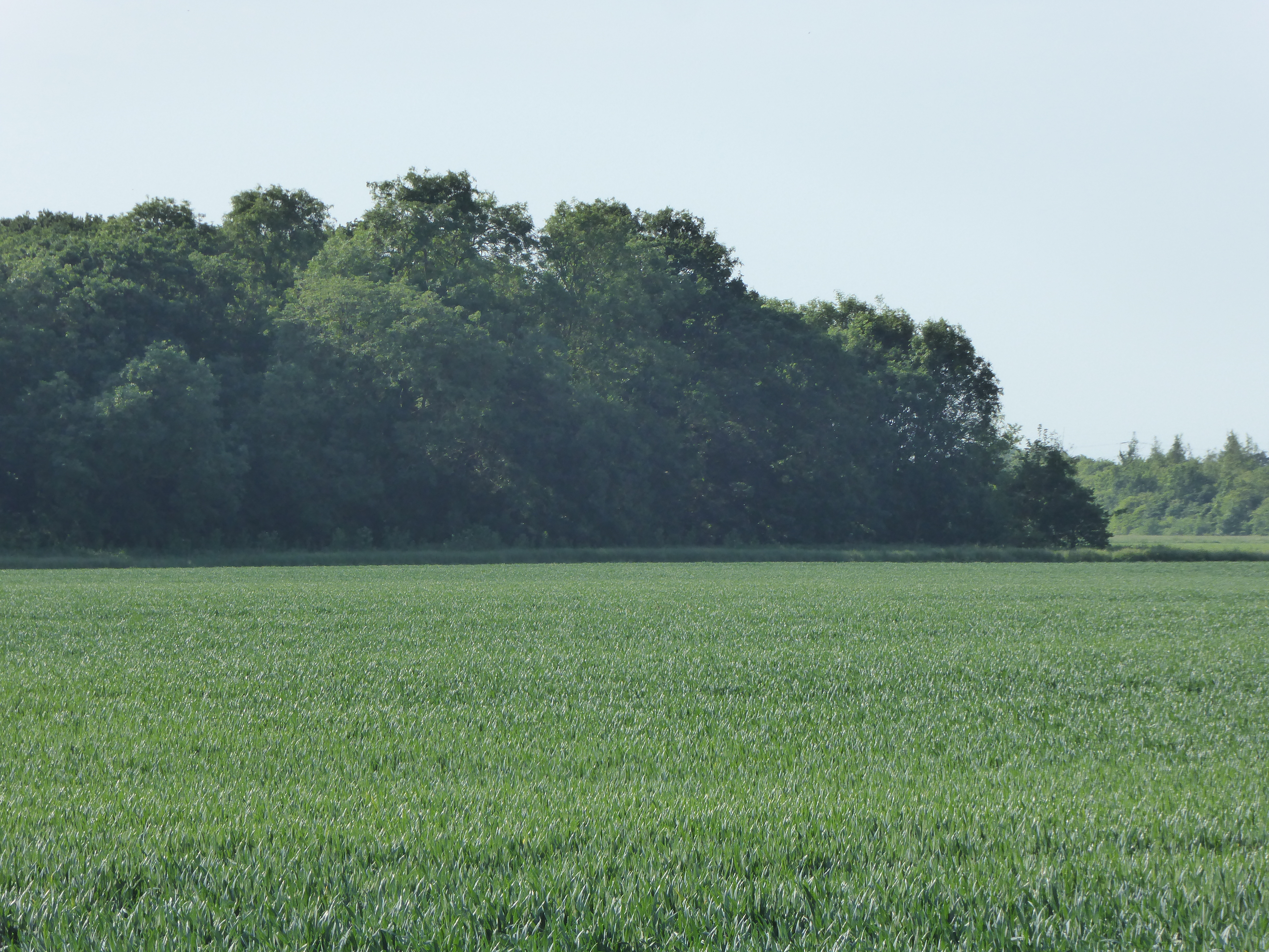
West Field, Norfolk (Downs, Moorland) is a vast and scenic area located in the county of Norfolk, England. Covering an expansive area of approximately 500 acres, it is renowned for its breathtaking natural beauty and diverse wildlife. The landscape is characterized by gently rolling hills, open grasslands, and heathland, creating a picturesque countryside setting.
The area is home to a wide range of flora and fauna, including rare and protected species. The grasslands are adorned with wildflowers, such as orchids and bluebells, while the heathland is dominated by heather and gorse. It provides a rich habitat for various birds, including larks, skylarks, and kestrels. In addition, the area supports a thriving population of rabbits, foxes, and deer.
West Field offers a tranquil and peaceful environment, attracting visitors seeking solace and a connection with nature. It provides ample opportunities for outdoor activities, such as walking, hiking, and birdwatching. The well-maintained footpaths and trails allow visitors to explore the stunning countryside and enjoy panoramic views of the surrounding areas.
The area also has historical significance, with evidence of ancient settlements and burial mounds. It holds a certain charm and mystique, inviting visitors to delve into its past and explore its cultural heritage.
West Field, Norfolk (Downs, Moorland) is a haven for nature lovers, offering a unique blend of natural beauty, biodiversity, and historical significance. Whether exploring its trails, observing wildlife, or simply enjoying the serenity of its surroundings, visitors are bound to be captivated by the allure of this enchanting landscape.
If you have any feedback on the listing, please let us know in the comments section below.
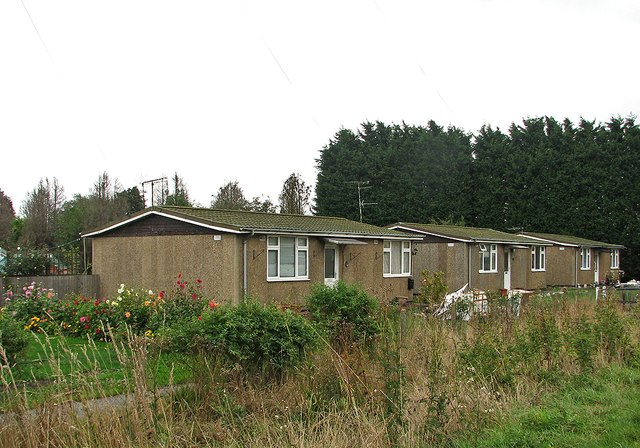
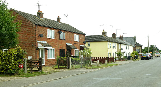
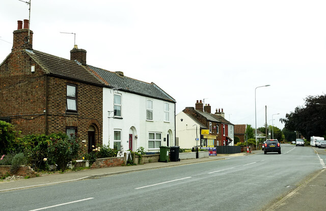
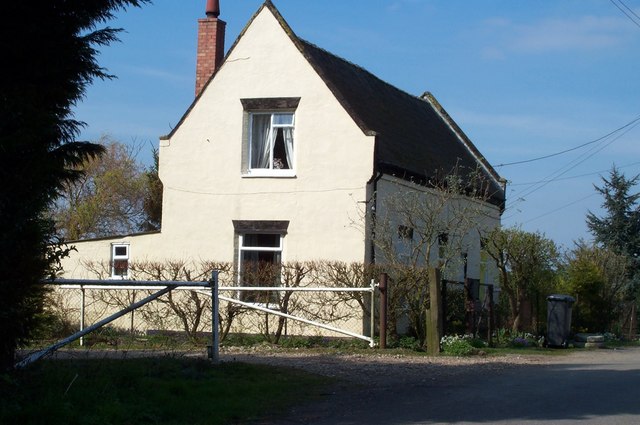
West Field Images
Images are sourced within 2km of 52.689278/0.28123146 or Grid Reference TF5412. Thanks to Geograph Open Source API. All images are credited.


West Field is located at Grid Ref: TF5412 (Lat: 52.689278, Lng: 0.28123146)
Administrative County: Norfolk
District: King's Lynn and West Norfolk
Police Authority: Norfolk
What 3 Words
///elsewhere.deflated.number. Near Terrington St John, Norfolk
Nearby Locations
Related Wikis

Tilney St Lawrence
Tilney St Lawrence is a village and a civil parish in the English county of Norfolk The village is 52.3 miles (84.2 km) west of Norwich, 9.7 miles (15...

Terrington St John
Terrington St John is a village and civil parish in the English county of Norfolk. The village lies to the south of the route of the A47 between Peterborough...
Middle Drove railway station
Middle Drove was a railway station which served the nearby village of Tilney Fen End (situated 1 mile to the north northeast) near Downham Market in Norfolk...

Walpole Highway
Walpole Highway is a village and civil parish in the English county of Norfolk. It covers an area of 10.48 km2 (4.05 sq mi) and had a population of 685...

Smeeth Road railway station
Smeeth Road was a railway station serving the villages of Emneth Hungate, Marshland St James and St John Fen's End, all east of Wisbech in Norfolk, England...
Islington Heronry
Islington Heronry is a 1.3-hectare (3.2-acre) biological Site of Special Scientific Interest south-west of King's Lynn Norfolk.This stand of mature oaks...

St Mary the Virgin's Church, Wiggenhall
St Mary the Virgin's Church is a redundant Anglican church in the civil parish of Wiggenhall St Germans, Norfolk, England. It is recorded in the National...

Marshland St James
Marshland St James is a village and civil parish in the English county of Norfolk. It covers an area of 25.69 km2 (9.92 sq mi) and had a population of...
Nearby Amenities
Located within 500m of 52.689278,0.28123146Have you been to West Field?
Leave your review of West Field below (or comments, questions and feedback).