Easington
Civil Parish in Yorkshire
England
Easington
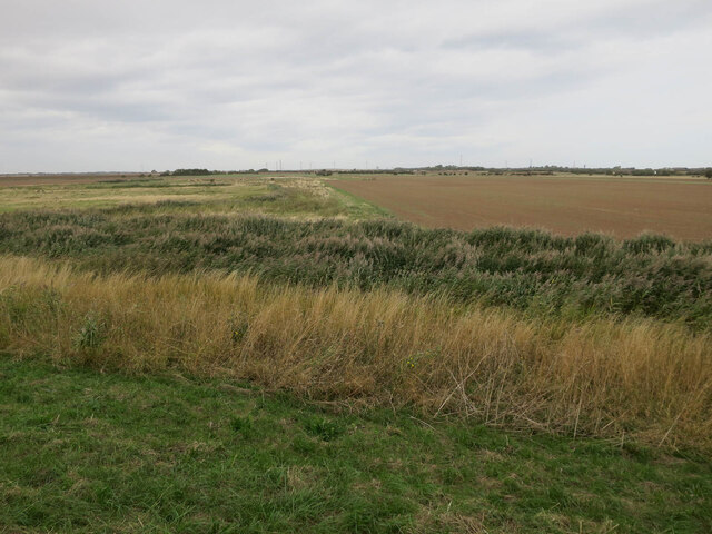
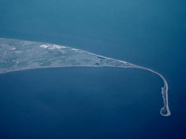
Easington is a civil parish located in the East Riding of Yorkshire, England. Situated on the Holderness coast, it is surrounded by the North Sea to the east and the River Humber to the south. The parish covers an area of approximately 4 square miles.
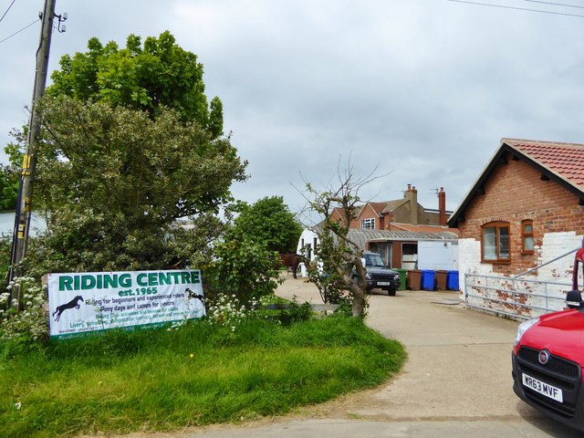
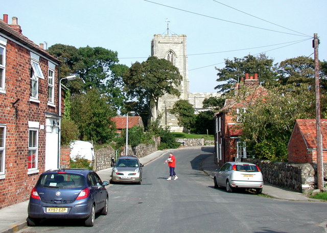
Easington is a small village with a population of around 600 residents. It is known for its rich history and picturesque landscapes. The village features a mix of traditional and modern architecture, with several historic buildings still standing, including the Grade II listed All Saints' Church.
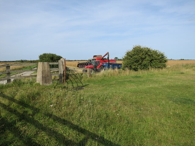
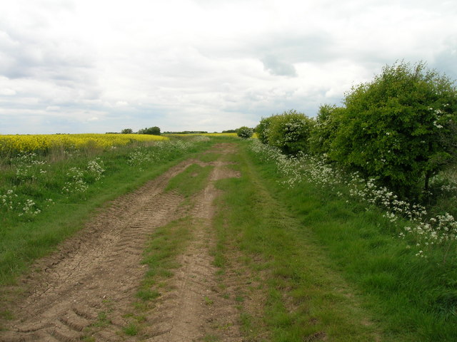
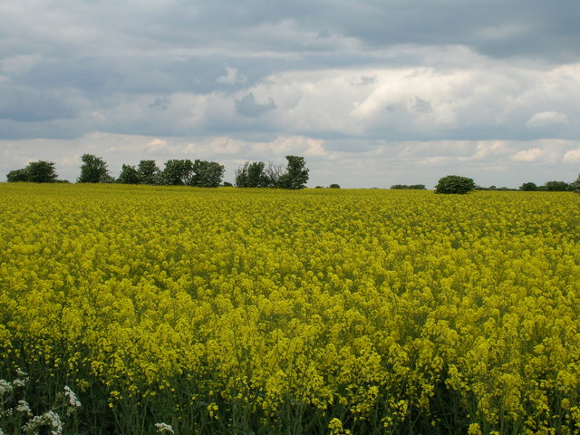
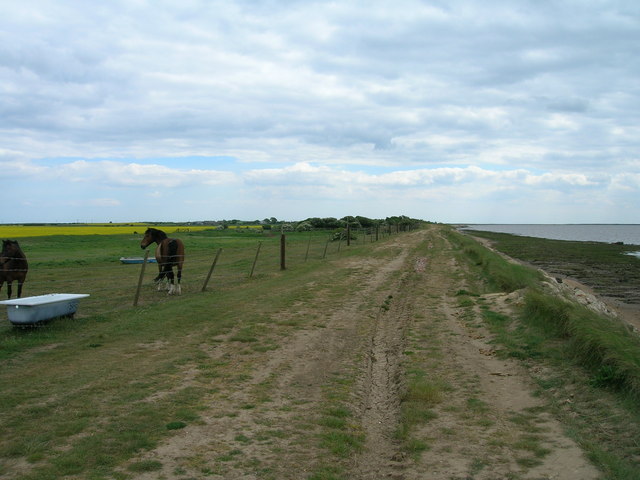
The village is predominantly agricultural, with farming being the main occupation of the residents. The fertile land in the surrounding area is ideal for cultivating crops, and there are also a number of livestock farms in the vicinity.
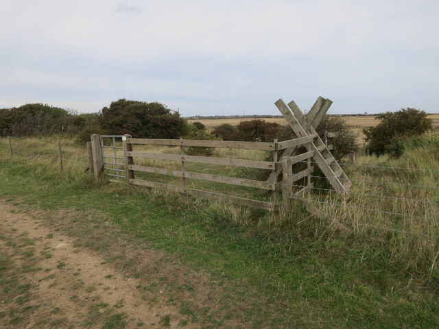
Easington offers a peaceful and tranquil environment, making it a popular destination for those seeking a break from the hustle and bustle of city life. The village is surrounded by beautiful countryside, making it an ideal location for outdoor activities such as walking, cycling, and birdwatching.
The local community in Easington is close-knit and friendly, with a strong sense of community spirit. The village has a primary school, a village hall, and a pub, providing essential amenities for its residents.
Overall, Easington is a charming and idyllic village that offers a perfect blend of rural living and natural beauty. Its rich history, stunning landscapes, and welcoming community make it a delightful place to visit or call home.
If you have any feedback on the listing, please let us know in the comments section below.
Easington Images
Images are sourced within 2km of 53.62629/0.11195 or Grid Reference TA3916. Thanks to Geograph Open Source API. All images are credited.


Easington is located at Grid Ref: TA3916 (Lat: 53.62629, Lng: 0.11195)
Division: East Riding
Unitary Authority: East Riding of Yorkshire
Police Authority: Humberside
What 3 Words
///states.cleans.logic. Near Easington, North Yorkshire
Nearby Locations
Related Wikis

Kilnsea
Kilnsea is a village in the civil parish of Easington, in the East Riding of Yorkshire, England, in an area known as Holderness. It is situated approximately...

Church of St Helen, Kilnsea
The Church of St Helen, Kilnsea, Holderness, East Riding of Yorkshire, England, is a redundant parish church dating from 1864–5. It was designed by the...
Easington, East Riding of Yorkshire
Easington is a small village and civil parish in the East Riding of Yorkshire, England, in the area known as Holderness. A coastal settlement, it is situated...

Spurn Point military railway
The Spurn Point military railway was a railway line in the East Riding of Yorkshire, England. It extended for 3+3⁄4 miles (6 km), connecting Kilnsea with...
Nearby Amenities
Located within 500m of 53.62629,0.11195Have you been to Easington?
Leave your review of Easington below (or comments, questions and feedback).