Easington

Civil Parish in Northumberland

England

Easington

Budle Bay Shore
Budle Bay Shore Credit: David Dixon

Easington is a civil parish located in the county of Northumberland, England. It is situated on the east coast of the country, approximately 8 miles north of Belford and 17 miles south of Berwick-upon-Tweed. The parish covers an area of around 11 square kilometers and is home to a population of approximately 400 residents.

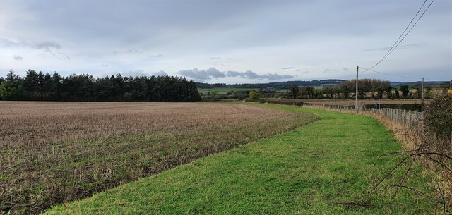
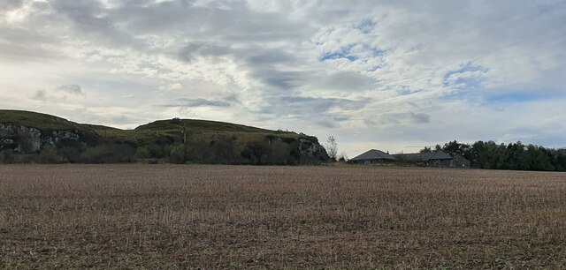
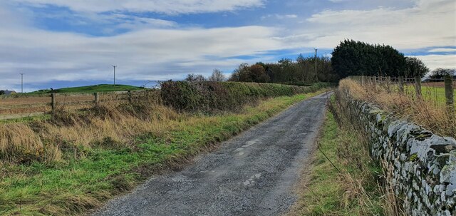
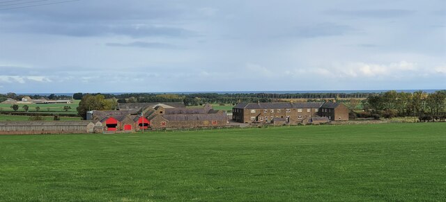
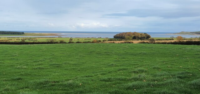
Easington is a small and picturesque village, known for its tranquil and idyllic setting. The parish is predominantly rural, characterized by rolling hills, open fields, and stunning views of the North Sea. The village itself is made up of a cluster of traditional stone-built houses and cottages, many of which date back to the 18th and 19th centuries.

The centerpiece of Easington is its historic parish church, St. John the Evangelist. Dating back to the 12th century, the church is a fine example of Norman architecture and is a Grade I listed building. It is a popular attraction for visitors to the area, offering a glimpse into the village's rich heritage.

Easington is also renowned for its natural beauty. The parish is located within close proximity to the Northumberland Coast Area of Outstanding Natural Beauty, which boasts stunning sandy beaches, dramatic cliffs, and a diverse range of flora and fauna. This makes it a popular destination for outdoor enthusiasts, who can enjoy activities such as walking, birdwatching, and cycling.

Overall, Easington offers a peaceful and picturesque escape from the hustle and bustle of city life. With its charming village, historic church, and stunning natural surroundings, it is a hidden gem within the Northumberland countryside.

If you have any feedback on the listing, please let us know in the comments section below.

Easington Images

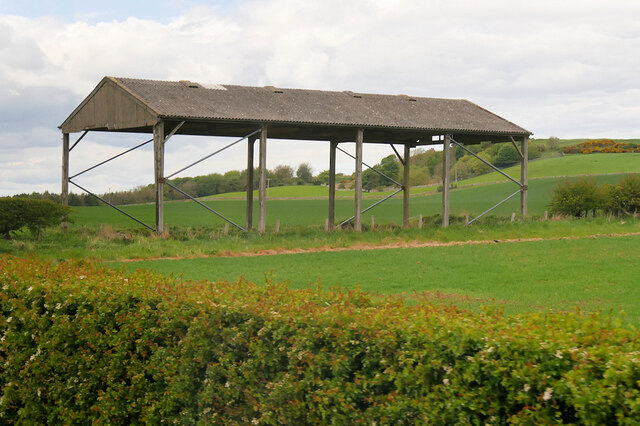
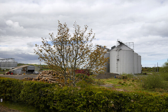
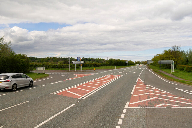
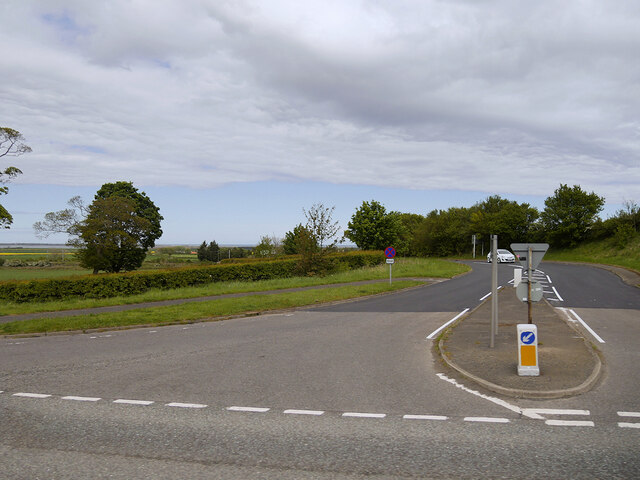
Images are sourced within 2km of 55.604236/-1.788424 or Grid Reference NU1334. Thanks to Geograph Open Source API. All images are credited.

Budle Bay Shore
Budle Bay Shore
Budle Bay at Waren Mill
B1342 Junction at Waren Mill
The Ducket Known locally as 'The Ducket', the building is a 65 foot high, tapering tower standing four storeys high and was Grade II Listed in 1969. It is shown on the OS map as a windmill and may have been used as a navigation marker, although situated at some distance from the sea. Some sources consider that it was most likely built in the C18th as a pigeon dovecote, providing a source of meat, eggs and manure. 'Ducket' is clearly a corruption of dovecote.

Structural Images of the North East (SINE) alternatively considers that the evidence for the structure's use as a dovecote is weak to non-existent and describes it as the windmill tower of a wind-powered threshing mill, built c1815. If so it is one of only two such towers associated with threshing which survive in Northumberland, the other at Chollerton <a href="https://www.geograph.org.uk/photo/2741429">NY9372 : Chollerton</a>.

With the approval of English Heritage, planning permission was obtained in 2007 to convert the tower into self-catering holiday accommodation with bathroom, bedroom, kitchen and upper viewing gallery.

The tower stands within a medieval moated site. Outchester Farm, shown on maps that pre-date the Ordnance Survey to the east of the tower, was relocated 600m to the west.

Medieval moated site and 18th century dovecote, 600m east of Outchester: <span class="nowrap"><a title="https://historicengland.org.uk/listing/the-list/list-entry/1014570" rel="nofollow ugc noopener" href="https://historicengland.org.uk/listing/the-list/list-entry/1014570">Link</a><img style="margin-left:2px;" alt="External link" title="External link - shift click to open in new window" src="https://s1.geograph.org.uk/img/external.png" width="10" height="10"/></span>
The Ducket
Known locally as 'The Ducket', the building is a 65 foot high, tapering tower standing four storeys high and was Grade II Listed in 1969. It is shown on the OS map as a windmill and may have been used as a navigation marker, although situated at some distance from the sea. Some sources consider that it was most likely built in the C18th as a pigeon dovecote, providing a source of meat, eggs and manure. 'Ducket' is clearly a corruption of dovecote. Structural Images of the North East (SINE) alternatively considers that the evidence for the structure's use as a dovecote is weak to non-existent and describes it as the windmill tower of a wind-powered threshing mill, built c1815. If so it is one of only two such towers associated with threshing which survive in Northumberland, the other at Chollerton NY9372 : Chollerton. With the approval of English Heritage, planning permission was obtained in 2007 to convert the tower into self-catering holiday accommodation with bathroom, bedroom, kitchen and upper viewing gallery. The tower stands within a medieval moated site. Outchester Farm, shown on maps that pre-date the Ordnance Survey to the east of the tower, was relocated 600m to the west. Medieval moated site and 18th century dovecote, 600m east of Outchester: LinkExternal link
Dutch Barn near Outchester Barn with a roof but no sides; used to store hay and straw.
Dutch Barn near Outchester
Barn with a roof but no sides; used to store hay and straw.
Belford Silos A Group of grain silos at the site adjacent to Belford Station operated by the grain co-operative, Coastal Grains Ltd.
Belford Silos
A Group of grain silos at the site adjacent to Belford Station operated by the grain co-operative, Coastal Grains Ltd.
The A1 at Belford The A1 is the longest numbered road in the UK at 410 miles long. It connects London with Edinburgh, via the east of England. 
For much of its path it follows the Great North Road the old coaching route between London and Edinburgh. Several sections of the route are classified as motorway A1(M). The modern A1 bypasses the towns the Great North Road passed through and is dual carriageway for most of its route through England.
The A1 at Belford
The A1 is the longest numbered road in the UK at 410 miles long. It connects London with Edinburgh, via the east of England. For much of its path it follows the Great North Road the old coaching route between London and Edinburgh. Several sections of the route are classified as motorway A1(M). The modern A1 bypasses the towns the Great North Road passed through and is dual carriageway for most of its route through England.
Minor Road towards Easington A minor road off the A1.
Minor Road towards Easington
A minor road off the A1.
Cragmill Hill, Northumberland Looking west over farmland to the north of Cragmill Hill.
Cragmill Hill, Northumberland
Looking west over farmland to the north of Cragmill Hill.
Cragmill Hill, Northumberland Cragmill Hill and cottages to the north.
Cragmill Hill, Northumberland
Cragmill Hill and cottages to the north.
Cragmill Hill, Northumberland Looking south towards Easington along a track running to the east of Cragmill Hill.
Cragmill Hill, Northumberland
Looking south towards Easington along a track running to the east of Cragmill Hill.
Easington Demesne, Northumberland Looking over farmland towards Easington Demesne.
Easington Demesne, Northumberland
Looking over farmland towards Easington Demesne.
Easington, Northumberland Looking north north-east over pastureland in the vicinity of Easington. In the far distance the waters of Budle Bay can be seen.
Easington, Northumberland
Looking north north-east over pastureland in the vicinity of Easington. In the far distance the waters of Budle Bay can be seen.
Waren Mill, Northumberland Looking along a track in the vicinity of Waren Mill that runs down to Chesterhill Slakes and Budle Bay.
Waren Mill, Northumberland
Looking along a track in the vicinity of Waren Mill that runs down to Chesterhill Slakes and Budle Bay.
Budle, Northumberland Looking along the water edge between the village of Budle and Chesterhill Slakes/Budle Bay.
Budle, Northumberland
Looking along the water edge between the village of Budle and Chesterhill Slakes/Budle Bay.
Budle Bay
Budle Bay
Budle Bay
Budle Bay
Budle Bay
Budle Bay
Show me another place!

Easington is located at Grid Ref: NU1334 (Lat: 55.604236, Lng: -1.788424)

Unitary Authority: Northumberland

Police Authority: Northumbria

What 3 Words

///patrol.dash.cleansed. Near Belford, Northumberland

Nearby Locations

Long Hills Easington

Related Wikis

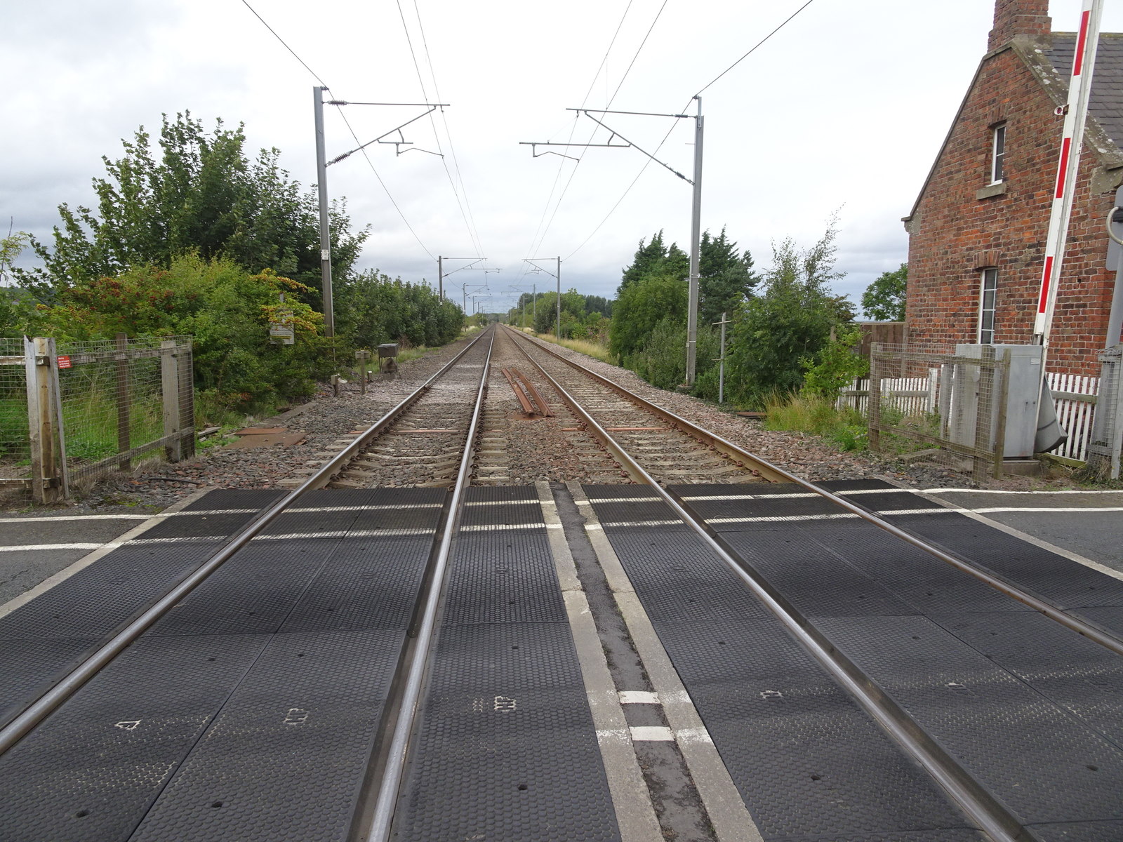
Belford railway station (England)

Belford railway station is a disused station situated on the East Coast Main Line between the current Chathill and Berwick-upon-Tweed stations serving...

Easington, Northumberland

Easington is a place and former civil parish, now in the parish of Belford about 14 miles from Alnwick, in the county of Northumberland, England. In 2011...

Crag Mill railway station

Crag Mill railway station served the village of Belford, Northumberland, England from around 1862 to 1877 on the East Coast Main Line. == History == The...

Belford Hall

Belford Hall is a Grade I listed building, an 18th-century mansion house situated at Belford, Northumberland. The Manor of Belford was acquired by the...

Nearby Amenities

Located within 500m of 55.604236,-1.788424
Harper's Heugh
Place: locality
Lat/Long: 55.6057928/-1.7910804
The data included in this document is from www.openstreetmap.org. The data is made available under ODbL.

Have you been to Easington?

Leave your review of Easington below (or comments, questions and feedback).