Easenhall

Civil Parish in Warwickshire Rugby

England

Easenhall

Oxford Canal Near Stretton under Fosse.
Oxford Canal Credit: Andrew Abbott

Easenhall is a small civil parish located in the county of Warwickshire, England. Situated approximately 11 miles to the east of the town of Rugby, Easenhall covers an area of around 1.5 square miles. The parish is predominantly rural in nature, with picturesque countryside landscapes and a tranquil atmosphere.

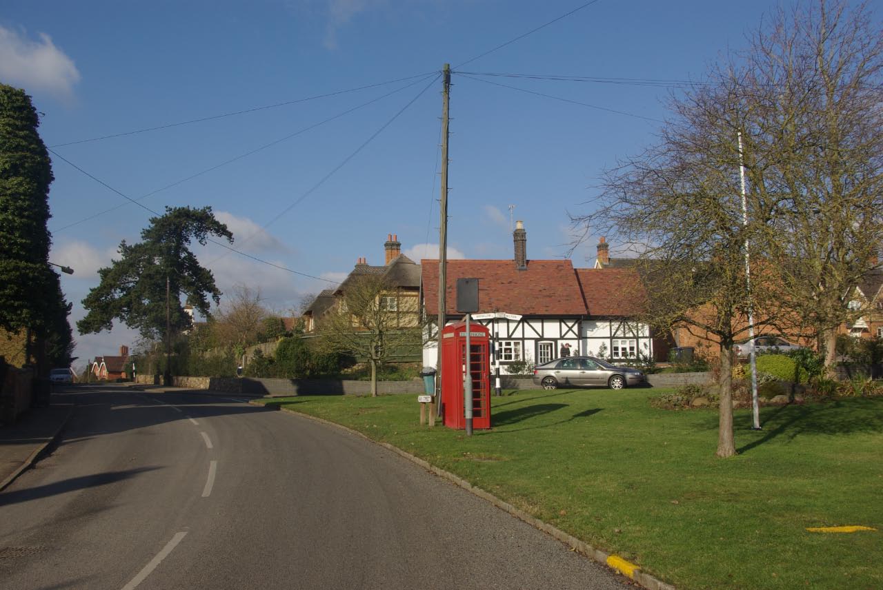
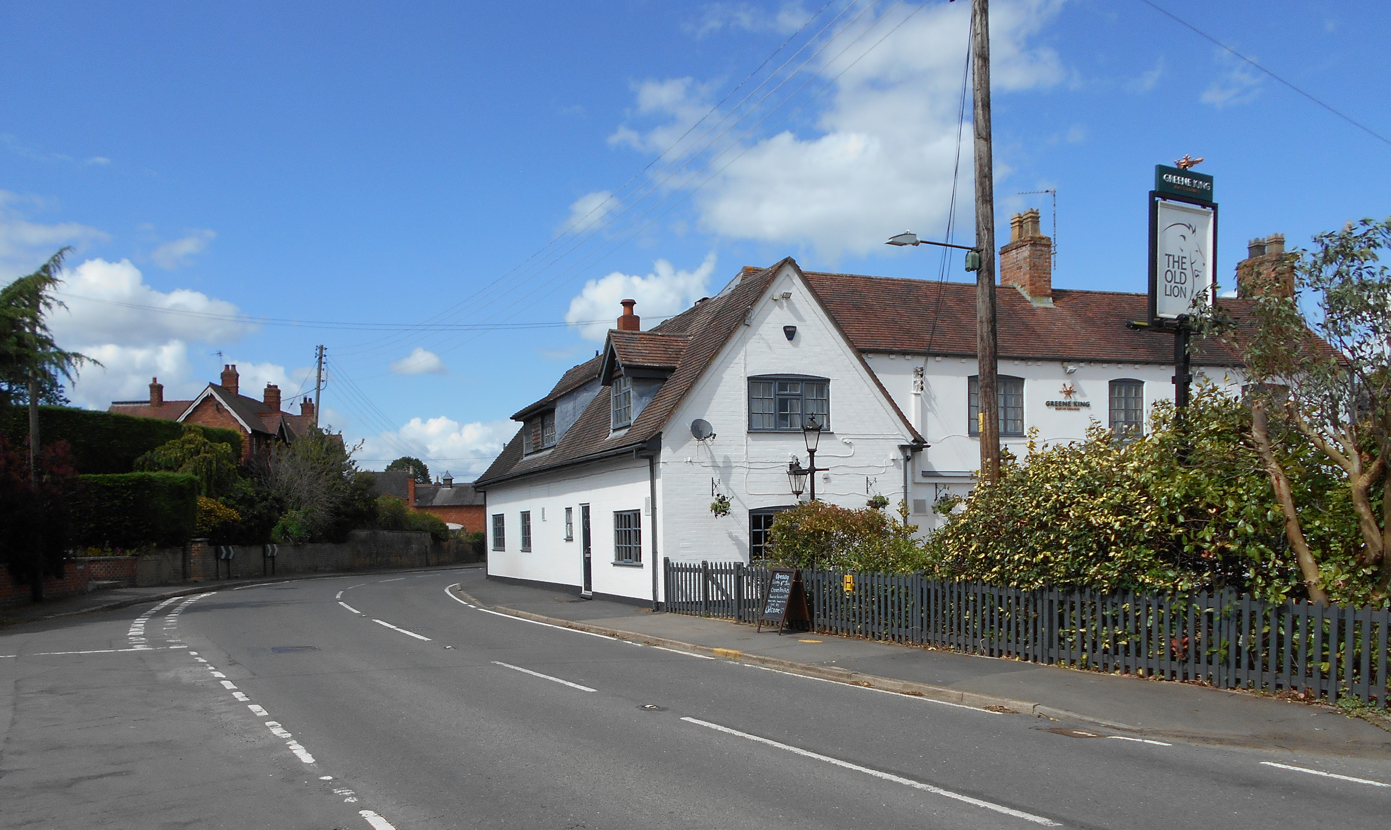
The village of Easenhall itself is home to a small population, estimated to be around 200 residents. It is characterized by its charming traditional cottages and historic buildings, which give it a distinct old-world charm. The centerpiece of the village is the St. James Church, a beautiful Grade II listed building that dates back to the 13th century. The church is a fine example of medieval architecture and attracts visitors from near and far.

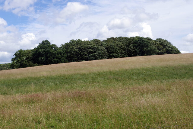
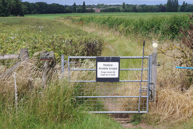
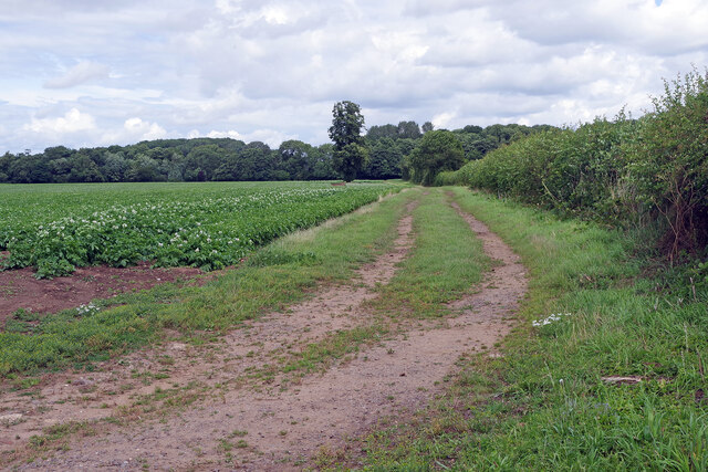
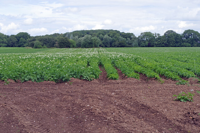
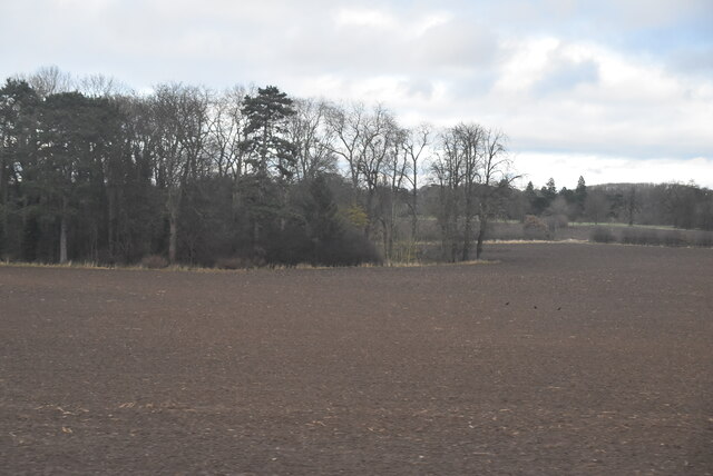
Easenhall is surrounded by stunning natural beauty, with rolling hills, fields, and woodlands that offer ample opportunities for outdoor activities such as walking, hiking, and cycling. The village is also known for its well-maintained footpaths and bridleways, making it a popular destination for nature enthusiasts.

Though small, Easenhall has a strong sense of community, with various social events and activities taking place throughout the year. The village also has a community hall, providing a space for gatherings and events.

Overall, Easenhall is a charming and idyllic village that offers a peaceful retreat from the hustle and bustle of modern life. Its natural beauty and sense of community make it a desirable place to live or visit.

If you have any feedback on the listing, please let us know in the comments section below.
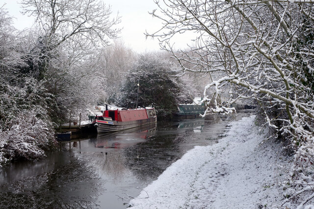
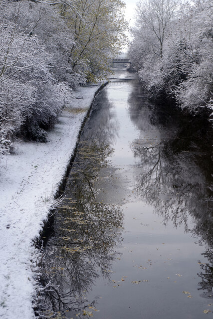
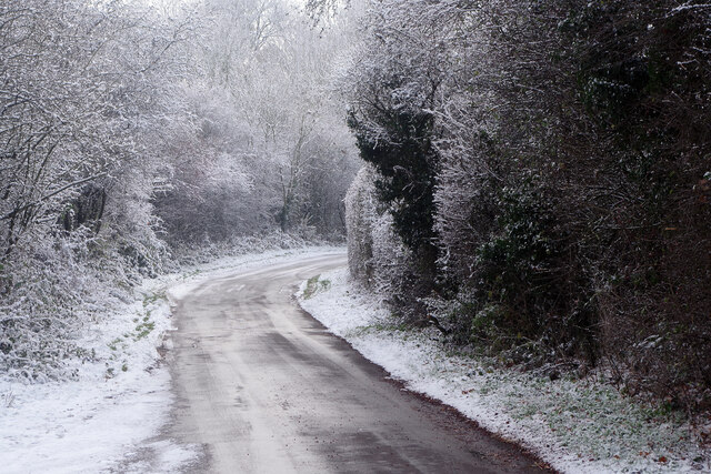
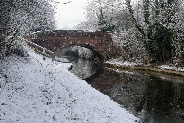
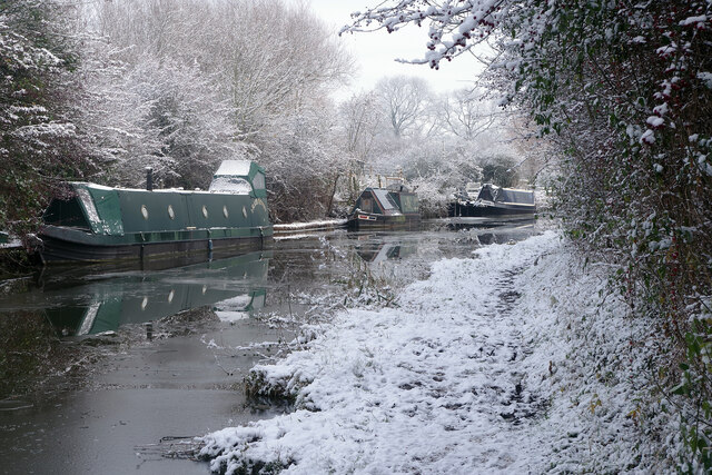
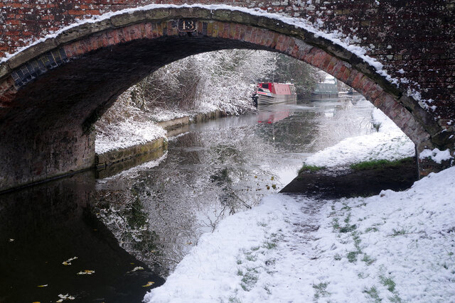
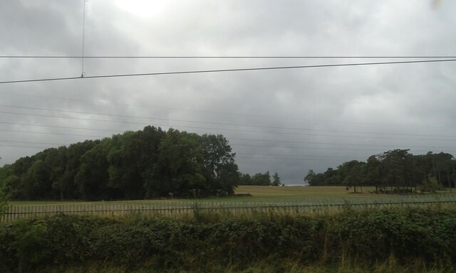
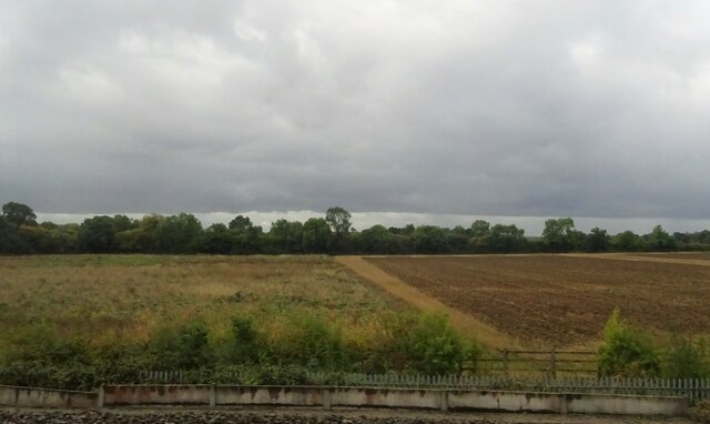
Easenhall Images

Images are sourced within 2km of 52.412712/-1.326833 or Grid Reference SP4579. Thanks to Geograph Open Source API. All images are credited.

Oxford Canal Near Stretton under Fosse.
Oxford Canal
Near Stretton under Fosse.
Tumley Wood The camera is straight but Tumley Wood on the slope of Tumley Hill is not.
Tumley Wood
The camera is straight but Tumley Wood on the slope of Tumley Hill is not.
Bridleway to Stretton under Fosse The gate marks the end of Tumley Hill and a walk across flatter arable land where broad beans and potatoes are being grown.
Bridleway to Stretton under Fosse
The gate marks the end of Tumley Hill and a walk across flatter arable land where broad beans and potatoes are being grown.
Farmland north of Easenhall The track heads towards Conery Spinney alongside a field of potatoes.
Farmland north of Easenhall
The track heads towards Conery Spinney alongside a field of potatoes.
Farmland north of Easenhall An extensive potato crop can be seen here from the Easenhall to Stretton under Fosse bridleway.
Farmland north of Easenhall
An extensive potato crop can be seen here from the Easenhall to Stretton under Fosse bridleway.
Bridleway to Stretton under Fosse The bridleway from Easenhall skirts a large field of potatoes. In the background is Newbold Revel an 18th country house now used as a prison service training college.
Bridleway to Stretton under Fosse
The bridleway from Easenhall skirts a large field of potatoes. In the background is Newbold Revel an 18th country house now used as a prison service training college.
West Coast Mainline and Oxford Canal NW of Rugby: aerial 2021 (1) See also <a href="https://www.geograph.org.uk/photo/1608194">SP4777 : West Coast Mainline, northwest of Rugby</a>.
West Coast Mainline and Oxford Canal NW of Rugby: aerial 2021 (1)
West Coast Mainline and Oxford Canal NW of Rugby: aerial 2021 (2) See also <a href="https://www.geograph.org.uk/photo/1608194">SP4777 : West Coast Mainline, northwest of Rugby</a>.
West Coast Mainline and Oxford Canal NW of Rugby: aerial 2021 (2)
B4112 at Harborough Magna
Oxford Canal, near Tuckey's Bridge There is ice in the canal and snow on the ground in this late November view of the Oxford Canal. The boats will be cosy enough if they have their stoves going.
Oxford Canal, near Tuckey's Bridge
There is ice in the canal and snow on the ground in this late November view of the Oxford Canal. The boats will be cosy enough if they have their stoves going.
Oxford Canal from Tuckey's Bridge On a cold day - by far the coldest of the winter so far - the canal has ice in it and the towpath is covered in snow. Obviously a handful of people have walked this way since the snow fell, but not many. Ahead is a bridge carrying the West Coast main Line.
Oxford Canal from Tuckey's Bridge
On a cold day - by far the coldest of the winter so far - the canal has ice in it and the towpath is covered in snow. Obviously a handful of people have walked this way since the snow fell, but not many. Ahead is a bridge carrying the West Coast main Line.
Lane to Little Lawford With temperatures hovering around zero, or just below, the surface of this untreated road was treacherous in places. The view is from just south of Tuckey's Bridge over the Oxford Canal.
Lane to Little Lawford
With temperatures hovering around zero, or just below, the surface of this untreated road was treacherous in places. The view is from just south of Tuckey's Bridge over the Oxford Canal.
Tuckey's Bridge, Oxford Canal Very much a wintry scene although this is still November. Following a stormy weekend, snow fell on the Sunday afternoon and evening but not to sufficient depth to cause significant disruption. This photograph was taken late morning when temperatures were hovering around zero. The cold snap was not to last long; the following day temperatures reached double figures.
Tuckey's Bridge, Oxford Canal
Very much a wintry scene although this is still November. Following a stormy weekend, snow fell on the Sunday afternoon and evening but not to sufficient depth to cause significant disruption. This photograph was taken late morning when temperatures were hovering around zero. The cold snap was not to last long; the following day temperatures reached double figures.
Oxford Canal, near Tuckey's Bridge The weather is cold and there is ice in the canal. This is east of Tuckey's Bridge looking towards Newbold on Avon.
Oxford Canal, near Tuckey's Bridge
The weather is cold and there is ice in the canal. This is east of Tuckey's Bridge looking towards Newbold on Avon.
Tuckey's Bridge, Oxford Canal Tuckey's Bridge is no 43 on the canal. This view looks through the bridge towards Newbold on Avon on a snowy day.
Tuckey's Bridge, Oxford Canal
Tuckey's Bridge is no 43 on the canal. This view looks through the bridge towards Newbold on Avon on a snowy day.
Larch Spinney
Larch Spinney
Fields toward the Oxford Canal
Little Gorse
Little Gorse
Show me another place!

Easenhall is located at Grid Ref: SP4579 (Lat: 52.412712, Lng: -1.326833)

Administrative County: Warwickshire

District: Rugby

Police Authority: Warwickshire

What 3 Words

///stole.reboot.acids. Near Brinklow, Warwickshire

Related Wikis

Easenhall

Easenhall is a small village and civil parish in Warwickshire, England, three miles north-west of the town of Rugby and a mile south of the M6 motorway...

Hungerfield

Hungerfield is a hamlet in the parish of Easenhall in the borough of Rugby in the County of Warwickshire in England. Hungerfield is a small collection...
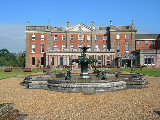
Newbold Revel

Newbold Revel refers to an existing 18th-century country house and a historic manorial estate in North East Warwickshire. In the fifteenth century, the...

Cathiron

Cathiron is a small rural hamlet in Warwickshire, England, within the civil parish of Harborough Magna, consisting of around six scattered dwellings along...

Stretton-under-Fosse

Stretton-under-Fosse is a village and civil parish in the English county of Warwickshire. In 2001 its population was recorded as 185, increasing to 234...

Harborough Magna

Harborough Magna is a village and civil parish in Warwickshire, England. The civil parish which also contains the nearby hamlets of Harborough Parva and...

Brinklow railway station

Brinklow railway station was a railway station almost midway between Brinklow and Stretton-Under-Fosse in the English county of Warwickshire, opened in...
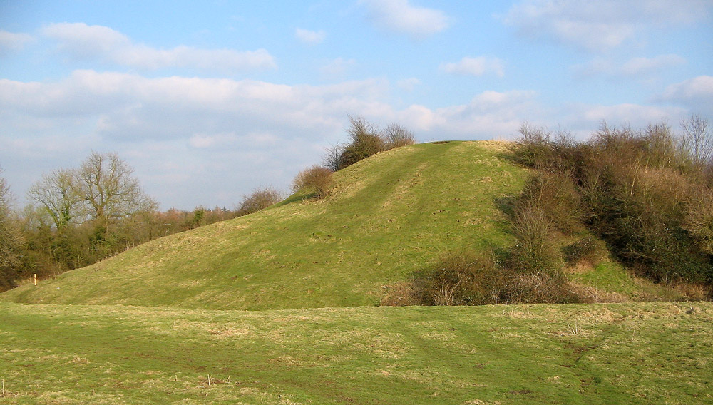
Brinklow Castle

Brinklow Castle, known locally as the Tump, is a medieval castle in the village of Brinklow in the county of Warwickshire between Coventry and Rugby....

Nearby Amenities

Located within 500m of 52.412712,-1.326833
Noexit: yes
Lat/Long: 52.4141231/-1.322511
Power: tower
Lat/Long: 52.4128782/-1.3318359
Power: tower
Lat/Long: 52.411442/-1.3276761
Power: tower
Lat/Long: 52.4099511/-1.3234924
Generator Method: photovoltaic
Generator Output Electricity: yes
Generator Source: solar
Generator Type: solar_photovoltaic_panel
Location: roof
Power: generator
Lat/Long: 52.4117661/-1.3227542
The data included in this document is from www.openstreetmap.org. The data is made available under ODbL.

Have you been to Easenhall?

Leave your review of Easenhall below (or comments, questions and feedback).