Ireland's Clough
Coastal Marsh, Saltings in Yorkshire
England
Ireland's Clough
Clough, Yorkshire is a small village situated on the coastal marshes and saltings of the East Riding of Yorkshire in England. Nestled between the larger towns of Flamborough and Bridlington, Clough offers a tranquil and picturesque setting for residents and visitors alike.
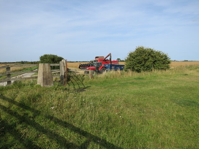
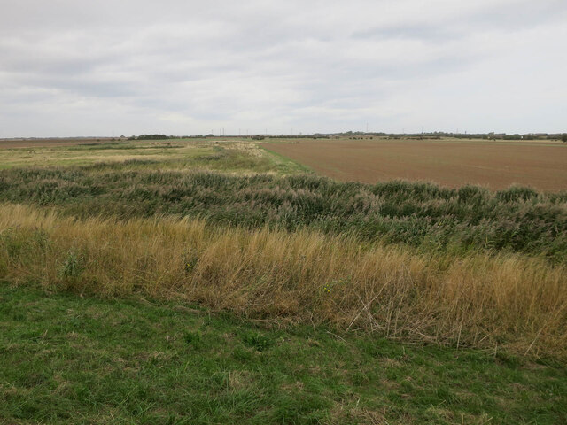
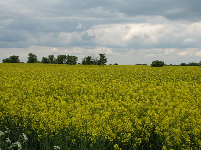
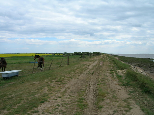
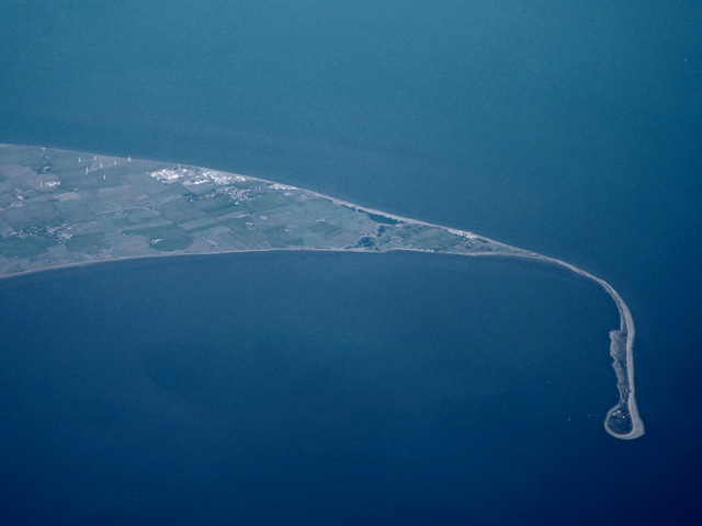
The village is characterized by its close proximity to the North Sea, with stunning views of the rugged coastline and expansive salt marshes. These marshes are a haven for various species of birds, making it a popular destination for birdwatchers and nature enthusiasts. The area is also home to a variety of plant life, including unique salt-tolerant vegetation that thrives in this coastal environment.
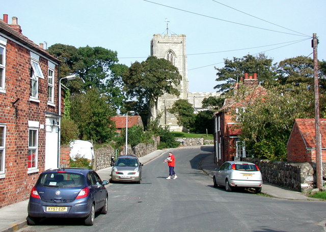
Clough itself is a quiet and close-knit community, with a population of around 500 residents. The village features charming cottages and traditional buildings that add to its rustic charm. The local community center serves as a hub for social activities and events, fostering a strong sense of community spirit.
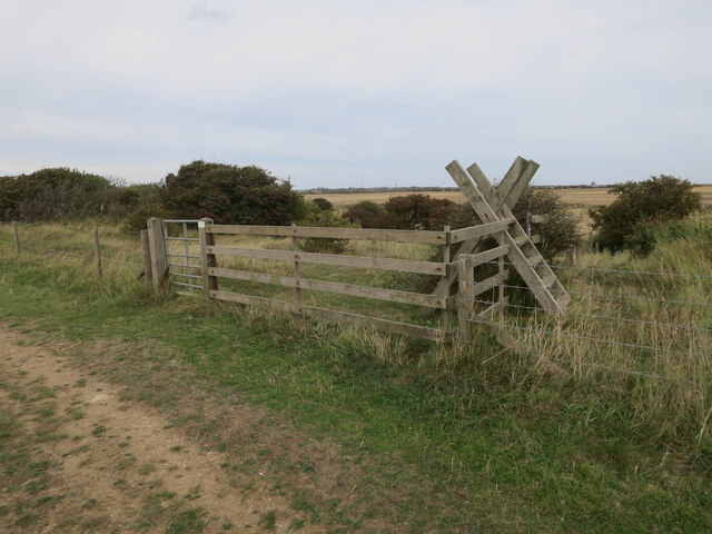
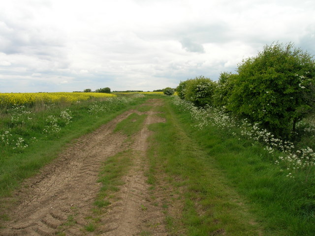
Visitors to Clough can enjoy leisurely walks along the coastal paths, taking in the breathtaking scenery and enjoying the fresh sea air. The nearby Flamborough Head Lighthouse is a popular attraction, offering panoramic views of the coastline and providing insight into the area's maritime history.
For those seeking a peaceful and idyllic coastal retreat, Clough, Yorkshire offers a quintessentially English experience. Its unspoiled natural beauty, rich wildlife, and welcoming community make it a hidden gem on the Yorkshire coast.
If you have any feedback on the listing, please let us know in the comments section below.
Ireland's Clough Images
Images are sourced within 2km of 53.629427/0.11102419 or Grid Reference TA3916. Thanks to Geograph Open Source API. All images are credited.


Ireland's Clough is located at Grid Ref: TA3916 (Lat: 53.629427, Lng: 0.11102419)
Division: East Riding
Unitary Authority: East Riding of Yorkshire
Police Authority: Humberside
What 3 Words
///weekends.utter.bounded. Near Easington, North Yorkshire
Nearby Locations
Related Wikis

Kilnsea
Kilnsea is a village in the civil parish of Easington, in the East Riding of Yorkshire, England, in an area known as Holderness. It is situated approximately...

Church of St Helen, Kilnsea
The Church of St Helen, Kilnsea, Holderness, East Riding of Yorkshire, England, is a redundant parish church dating from 1864–5. It was designed by the...
Easington, East Riding of Yorkshire
Easington is a small village and civil parish in the East Riding of Yorkshire, England, in the area known as Holderness. A coastal settlement, it is situated...

Skeffling
Skeffling is a village and civil parish in the East Riding of Yorkshire, England, in an area known as Holderness. It is situated approximately 5 miles...
Nearby Amenities
Located within 500m of 53.629427,0.11102419Have you been to Ireland's Clough?
Leave your review of Ireland's Clough below (or comments, questions and feedback).