Spurn Head
Coastal Marsh, Saltings in Yorkshire
England
Spurn Head
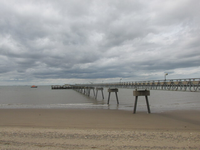
Spurn Head, located in the East Riding of Yorkshire, England, is a unique coastal feature consisting of a narrow sand and shingle spit stretching into the North Sea. Known for its striking beauty and ecological significance, it is considered one of the most important wildlife habitats in northern England.
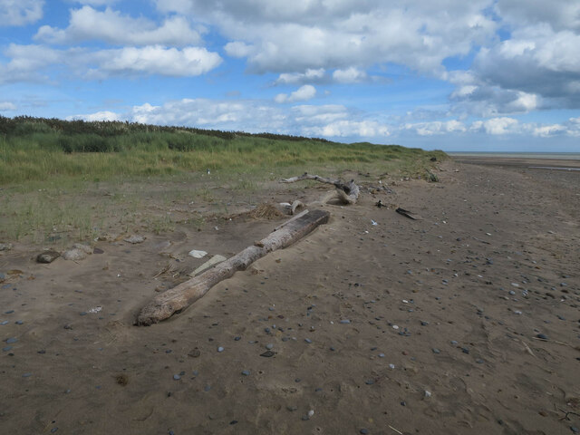
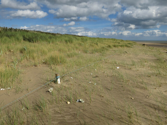
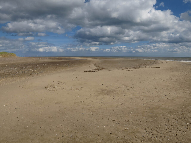
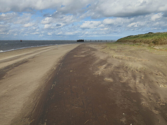
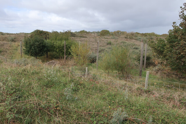
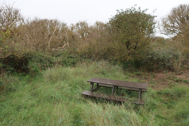
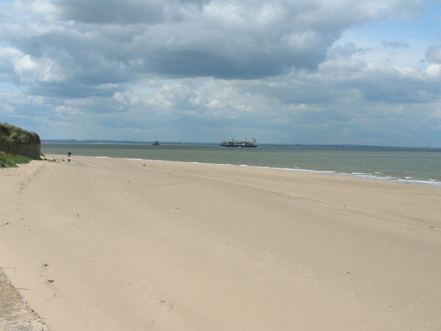
The spit, measuring around 3.5 miles in length, is constantly changing due to the strong tides and currents in the area. It is composed of sand and shingle, with saltmarshes and dunes forming along its edges. These marshes, known as saltings, are home to a diverse range of plant and animal species. The area is particularly renowned for its birdlife, attracting thousands of migratory birds, including rare and endangered species.
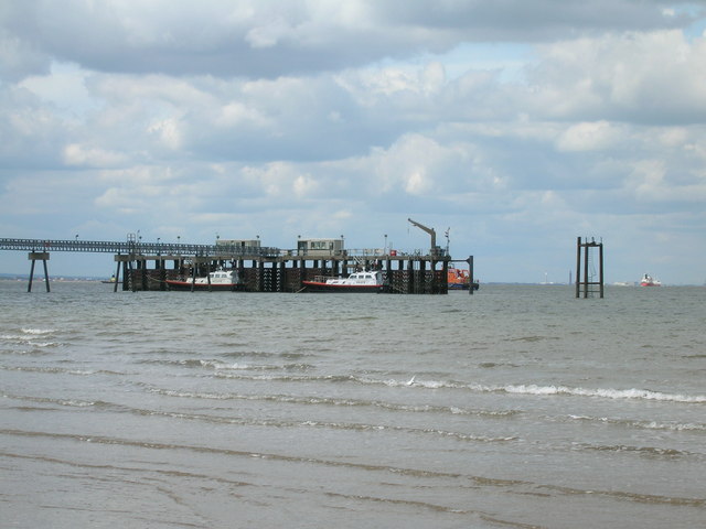
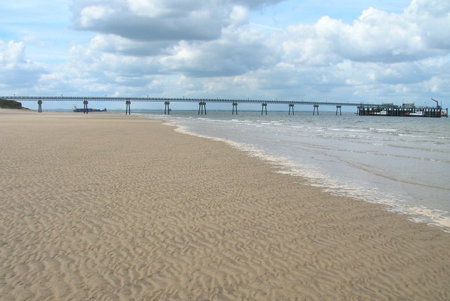
The landscape of Spurn Head is characterized by its vast open spaces, sandy beaches, and extensive mudflats. The shifting sands and shifting channels of the Humber Estuary contribute to the dynamic nature of the area. The spit acts as a natural barrier, protecting the Humber Estuary and surrounding areas from coastal erosion.
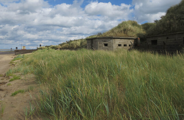
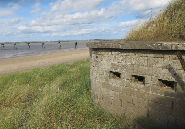
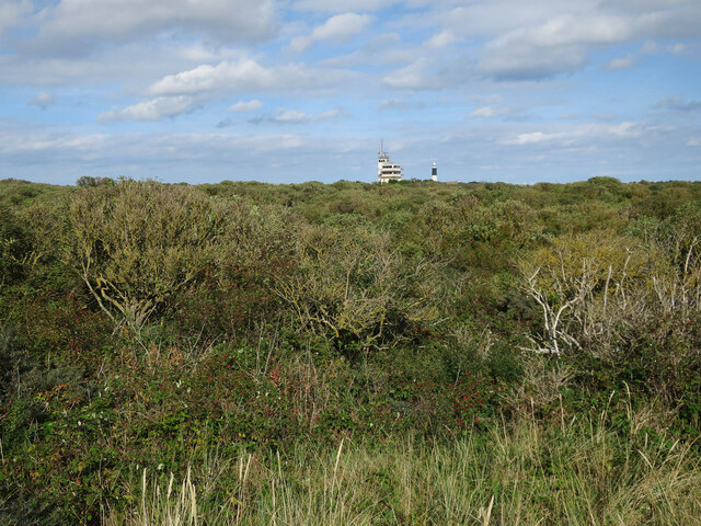
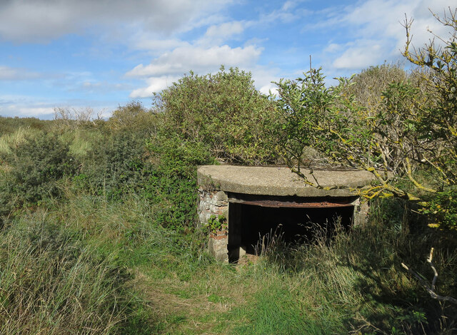
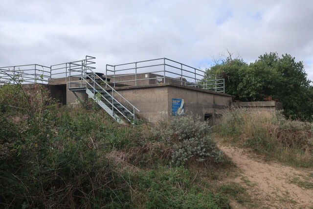
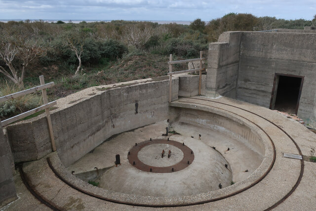
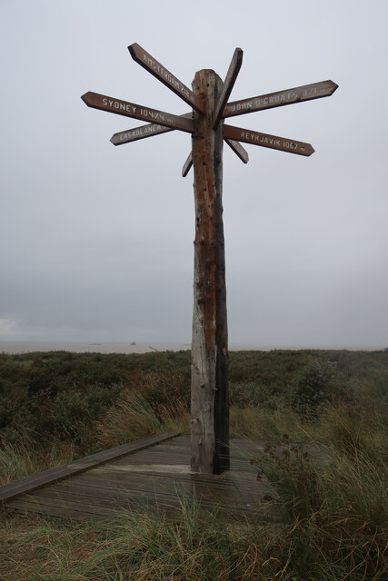
Visitors to Spurn Head can enjoy a variety of activities, including birdwatching, walking, and exploring the unique flora and fauna. The area is also of historical significance, with a distinctive lighthouse and the remnants of military defenses from World War II.
Spurn Head is managed by the Yorkshire Wildlife Trust, which works to preserve and protect its fragile ecosystems. The site is designated as a National Nature Reserve and is a Site of Special Scientific Interest, recognizing its importance for both wildlife and geological features.
If you have any feedback on the listing, please let us know in the comments section below.
Spurn Head Images
Images are sourced within 2km of 53.571538/0.10860725 or Grid Reference TA3910. Thanks to Geograph Open Source API. All images are credited.
Spurn Head is located at Grid Ref: TA3910 (Lat: 53.571538, Lng: 0.10860725)
Division: East Riding
Unitary Authority: East Riding of Yorkshire
Police Authority: Humberside
What 3 Words
///brush.cars.handyman. Near Easington, North Yorkshire
Nearby Locations
Related Wikis

Spurn
Spurn is a narrow sand tidal island located off the tip of the coast of the East Riding of Yorkshire, England that reaches into the North Sea and forms...
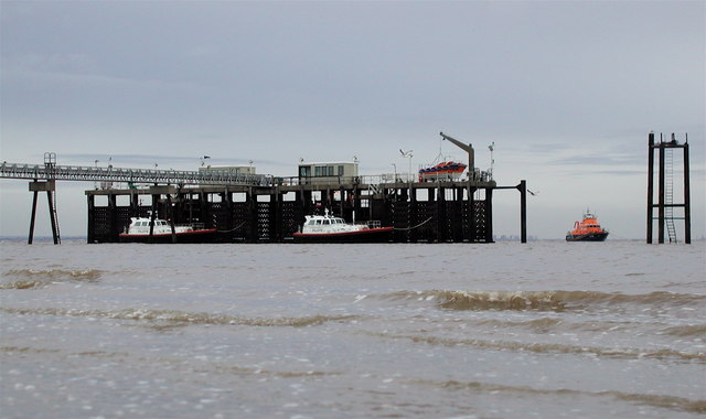
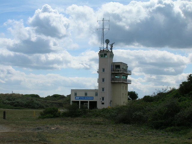
Humber Lifeboat Station
The Humber Lifeboat Station was located on Spurn Point in the East Riding of Yorkshire, England. The station is one of nine Royal National Lifeboat Institution...
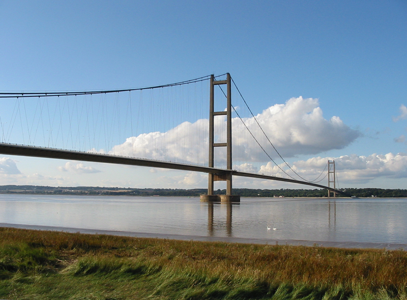
Humber
The Humber is a large tidal estuary on the east coast of Northern England. It is formed at Trent Falls, Faxfleet, by the confluence of the tidal rivers...

Ravensrodd (Parliament of England constituency)
Ravensrodd, also spelt Ravenser Odd, was a constituency of the House of Commons of the Parliament of England, first represented in the Model Parliament...

Ravenser Odd
Ravenser Odd, also spelled Ravensrodd, was a port in the East Riding of Yorkshire, England, during the medieval period, built on the sandbanks at the mouth...

Spurn Point military railway
The Spurn Point military railway was a railway line in the East Riding of Yorkshire, England. It extended for 3+3⁄4 miles (6 km), connecting Kilnsea with...

Ravenspurn
Ravenspurn was a town in the East Riding of Yorkshire, England, which was lost due to coastal erosion, one of more than 30 along the Holderness Coast which...

Church of St Helen, Kilnsea
The Church of St Helen, Kilnsea, Holderness, East Riding of Yorkshire, England, is a redundant parish church dating from 1864–5. It was designed by the...
Nearby Amenities
Located within 500m of 53.571538,0.10860725Have you been to Spurn Head?
Leave your review of Spurn Head below (or comments, questions and feedback).