Black Buoy Sand

Coastal Marsh, Saltings in Lincolnshire South Holland

England

Black Buoy Sand

The direct route to Spalding The wide expanse of water to the left of the photo is the River Welland.  Set off in your vessel and you will discover Spalding some 14 miles ahead.  No satnav required!
The direct route to Spalding Credit: Ian Paterson

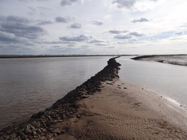
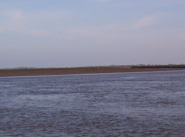
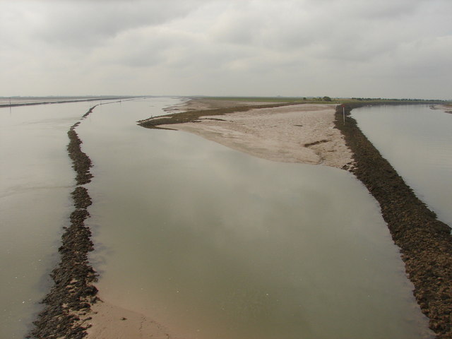
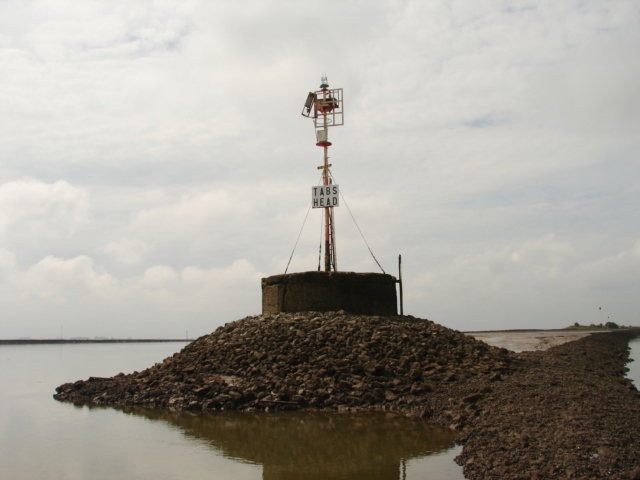
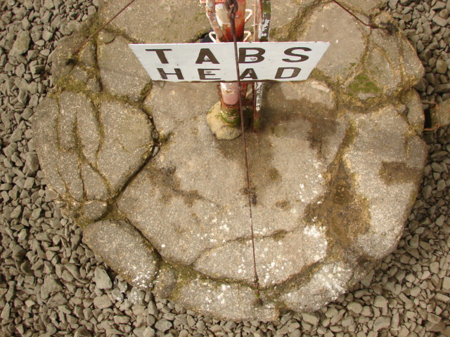
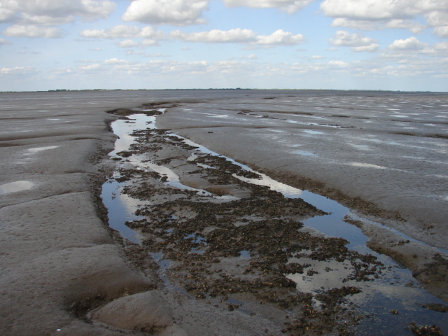
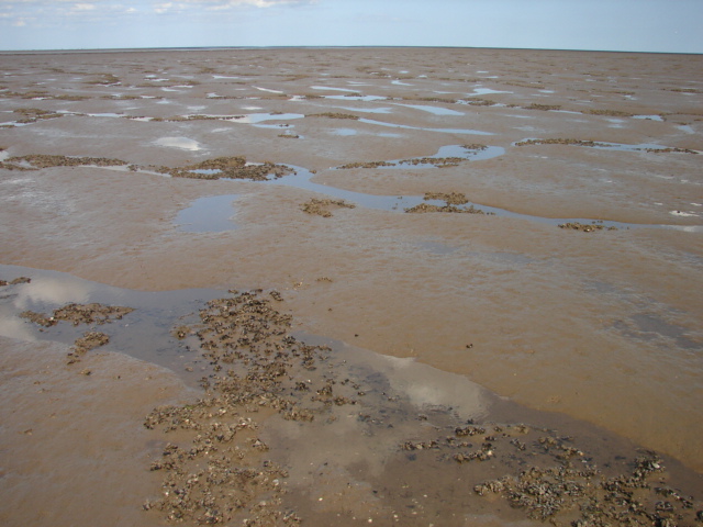
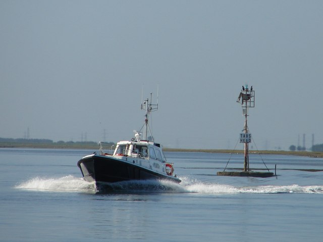
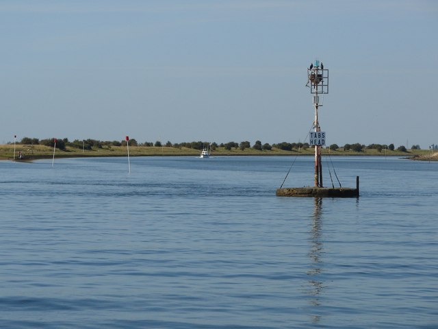
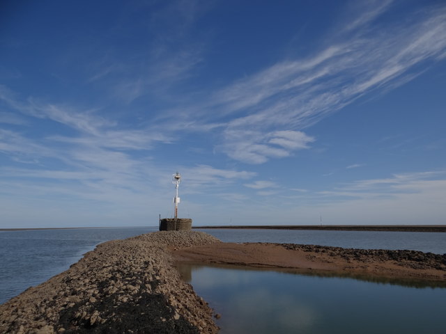
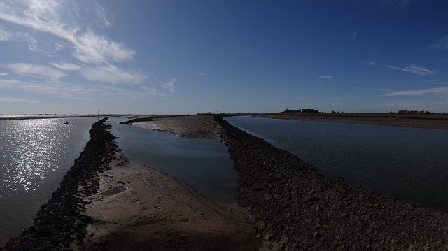
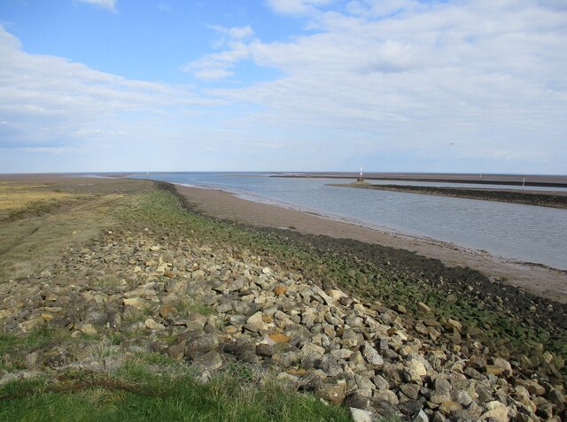
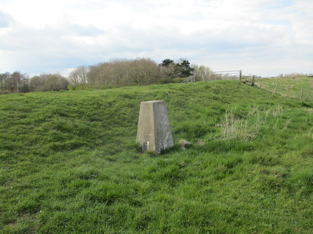
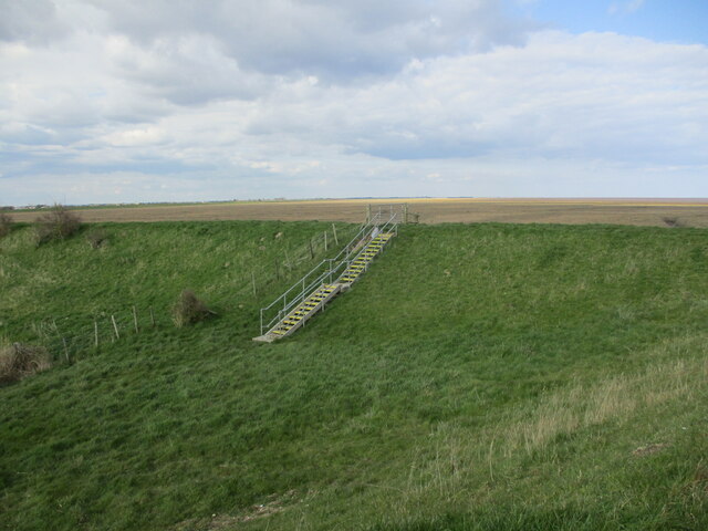
Black Buoy Sand is a coastal marsh located in Lincolnshire, England. It is situated along the eastern coast of the country and is known for its unique landscape and diverse ecosystem. The area is characterized by its vast expanse of sandy beaches and sprawling salt marshes, making it an important habitat for various plant and animal species.

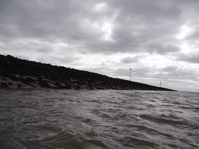
The sand at Black Buoy is distinctive due to its dark color, which is believed to be a result of the presence of iron oxide in the sediment. This gives the beach a unique and visually striking appearance. The sand is fine-grained and compact, making it ideal for activities such as walking, sunbathing, and picnicking.

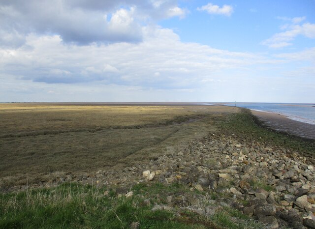
The coastal marshes and saltings of Black Buoy are of great ecological importance. They provide a vital habitat for a wide range of plant species, including salt-tolerant grasses, shrubs, and herbs. These plants have adapted to the saline conditions and play a crucial role in stabilizing the sand dunes and preventing erosion.

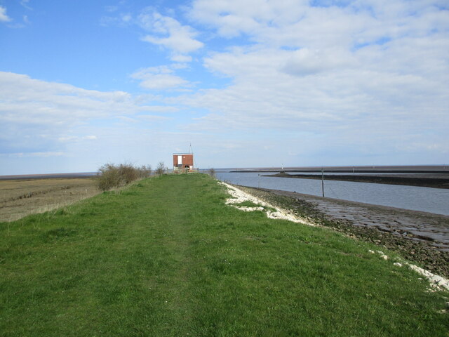
The area is also home to a diverse array of bird species, including waders, terns, and gulls, which nest and feed in the marshes. Black Buoy is a designated nature reserve, and visitors can often observe these birds in their natural habitat, particularly during the breeding season.

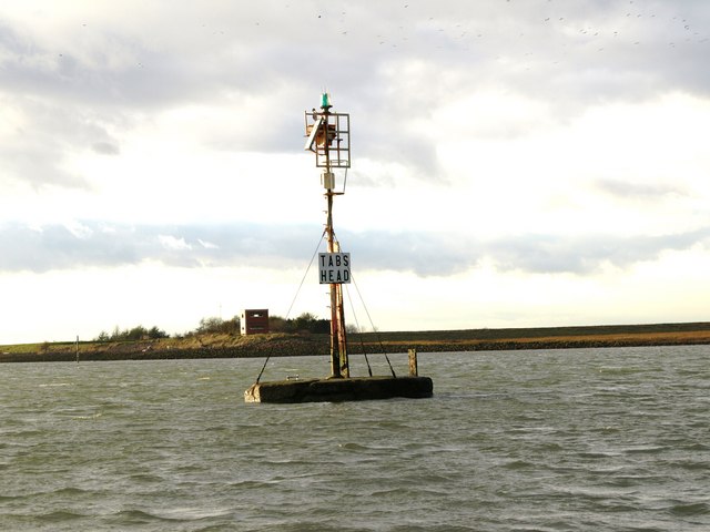
In addition to its natural beauty and ecological significance, Black Buoy Sand offers stunning views of the North Sea and is a popular destination for tourists and locals alike. The beach provides ample opportunities for beachcombing, kite flying, and other recreational activities, making it a cherished spot for outdoor enthusiasts.

If you have any feedback on the listing, please let us know in the comments section below.

Black Buoy Sand Images

Images are sourced within 2km of 52.916881/0.077627798 or Grid Reference TF3937. Thanks to Geograph Open Source API. All images are credited.

The direct route to Spalding The wide expanse of water to the left of the photo is the River Welland.  Set off in your vessel and you will discover Spalding some 14 miles ahead.  No satnav required!
The direct route to Spalding
The wide expanse of water to the left of the photo is the River Welland. Set off in your vessel and you will discover Spalding some 14 miles ahead. No satnav required!
Tabs Head Marking the confluence of the Witham and Welland
Tabs Head
Marking the confluence of the Witham and Welland
Saltmarshes Looking across the mudflats from the Welland
Saltmarshes
Looking across the mudflats from the Welland
Where two rivers meet View of the mouth of the River Welland (to the left) and The Witham (The Haven at this point, to the right) from the navigation beacon at Tabs Head.  The lagoon in between and bounded by the banking is a handy spot for fishermen, as sea bass can be caught here.
Where two rivers meet
View of the mouth of the River Welland (to the left) and The Witham (The Haven at this point, to the right) from the navigation beacon at Tabs Head. The lagoon in between and bounded by the banking is a handy spot for fishermen, as sea bass can be caught here.
Tabs Head at low tide The Welland to the left and the Witham to the right.  Worth knowing if you've forgotten your charts!
Tabs Head at low tide
The Welland to the left and the Witham to the right. Worth knowing if you've forgotten your charts!
Tabs Head from above There's no mistaking the location of this navigational aid!
Tabs Head from above
There's no mistaking the location of this navigational aid!
Towards Herring Hill View from the corner of the gridsquare towards Herring Hill.  I daren't go much further as I was exhausted by the sticky sucking mud.  It was supposed to be sand!
Towards Herring Hill
View from the corner of the gridsquare towards Herring Hill. I daren't go much further as I was exhausted by the sticky sucking mud. It was supposed to be sand!
Cockle beds on the mud The clumps of cockles begin to appear at this point on the mudflats.
Cockle beds on the mud
The clumps of cockles begin to appear at this point on the mudflats.
Pilot boat passing Tabs Head Speeding out into The Wash past Tabs Head.  Behind is the mouth of the River Welland.
Pilot boat passing Tabs Head
Speeding out into The Wash past Tabs Head. Behind is the mouth of the River Welland.
Mouth of the River Witham The Haven meets The Welland at Tabs Head.  View from the Boston Belle <span class="nowrap"><a title="http://www.maritimecruises.co.uk/boston%20belle.html" rel="nofollow ugc noopener" href="http://www.maritimecruises.co.uk/boston%20belle.html">Link</a><img style="margin-left:2px;" alt="External link" title="External link - shift click to open in new window" src="https://s1.geograph.org.uk/img/external.png" width="10" height="10"/></span>.
Mouth of the River Witham
The Haven meets The Welland at Tabs Head. View from the Boston Belle LinkExternal link.
Tabs Head at low tide It's worth the walk along the sea bank to get here.  It's so peaceful.
Tabs Head at low tide
It's worth the walk along the sea bank to get here. It's so peaceful.
The Welland and The Haven Panoramic view from Tabs Head at low tide.  The Welland is on the left leading to Fosdyke Bridge and The Haven is on the right, leading to Boston.
The Welland and The Haven
Panoramic view from Tabs Head at low tide. The Welland is on the left leading to Fosdyke Bridge and The Haven is on the right, leading to Boston.
Close up of the training wall The training wall runs either side of the River Welland, with occasional breaks to the drainage system and numerous creek inlets.  Navigation poles line the route as it is difficult to discern the wall when it is below sea level.  Behind the wall lies Herring Hill.  Compare with the photo referred to below.

Having previously attempted a geograph of this gridsquare almost 12 years ago from the Boston Belle <a href="https://www.geograph.org.uk/photo/1494200">TF3937 : Edge of the marsh</a>, I finally managed to photograph it at a much lower level of tide, from Bluey Due which being much smaller than the Boston Belle, could sail much closer to the wall itself.  See link for youTube excerpts of the trip <span class="nowrap"><a title="https://www.youtube.com/watch?v=GLveWvAEe-w" rel="nofollow ugc noopener" href="https://www.youtube.com/watch?v=GLveWvAEe-w">Link</a><img style="margin-left:2px;" alt="External link" title="External link - shift click to open in new window" src="https://s1.geograph.org.uk/img/external.png" width="10" height="10"/></span>.
Close up of the training wall
The training wall runs either side of the River Welland, with occasional breaks to the drainage system and numerous creek inlets. Navigation poles line the route as it is difficult to discern the wall when it is below sea level. Behind the wall lies Herring Hill. Compare with the photo referred to below. Having previously attempted a geograph of this gridsquare almost 12 years ago from the Boston Belle TF3937 : Edge of the marsh, I finally managed to photograph it at a much lower level of tide, from Bluey Due which being much smaller than the Boston Belle, could sail much closer to the wall itself. See link for youTube excerpts of the trip LinkExternal link.
The end of the world The point where The Haven and the Welland Outfall join.
The end of the world
The point where The Haven and the Welland Outfall join.
Footpath and bird hide The Haven (River Witham) and the Welland Outfall can be seen joining to the right of the bird hide.
Footpath and bird hide
The Haven (River Witham) and the Welland Outfall can be seen joining to the right of the bird hide.
The end of the path, Freiston Low There are no plans to extend this path to Norfolk!
The end of the path, Freiston Low
There are no plans to extend this path to Norfolk!
Trig point by the Sea Bank
Steps up the sea bank The saltmarsh of Freiston Low beyond the sea bank.
Steps up the sea bank
The saltmarsh of Freiston Low beyond the sea bank.
Show me another place!

Black Buoy Sand is located at Grid Ref: TF3937 (Lat: 52.916881, Lng: 0.077627798)

Administrative County: Lincolnshire

District: South Holland

Police Authority: Lincolnshire

What 3 Words

///hotel.gems.unloading. Near Fishtoft, Lincolnshire

Nearby Locations

Black Buoy Sand

Related Wikis

HM Prison North Sea Camp

HM Prison North Sea Camp is a men's open prison (Category D), located on the edge of the parish of Freiston (near Boston) in Lincolnshire, England. North...

RSPB Frampton Marsh

Frampton Marsh is a nature reserve in Lincolnshire, England. The reserve is situated on the coast of The Wash, some 4 miles from the town of Boston, between...

River Welland

The River Welland is a lowland river in the east of England, some 65 miles (105 km) long. It drains part of the Midlands eastwards to The Wash. The river...

Pilgrim Fathers Memorial

The Pilgrim Fathers Memorial is located on the north bank of The Haven at the site of the former Scotia Creek, Fishtoft, seaward of Boston in Lincolnshire...

Freiston Shore

Freiston Shore is a settlement in the Borough of Boston, in Lincolnshire, England. It is in the civil parish of Freiston, and approximately 4 miles (6...

Holbeach St Matthew

Holbeach St Matthew is a small fenland village in the South Holland district of southern Lincolnshire, England. It lies 6 miles (10 km) north-east from...

Fishtoft

Fishtoft is one of eighteen civil parishes which, together with Boston, form the Borough of Boston in the county of Lincolnshire, England. Local government...

Boston Rural District

Boston was a rural district in Holland, Lincolnshire from 1894 to 1974. It was formed from the Boston rural sanitary district by the Local Government Act...

Have you been to Black Buoy Sand?

Leave your review of Black Buoy Sand below (or comments, questions and feedback).