Easington Clough
Coastal Marsh, Saltings in Yorkshire
England
Easington Clough
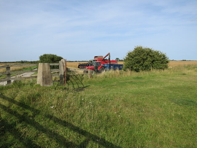
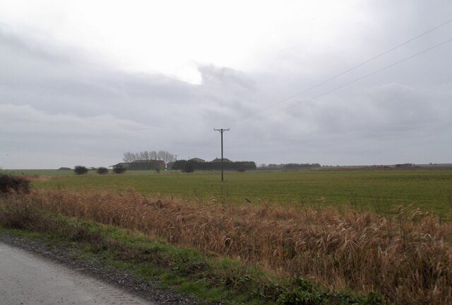
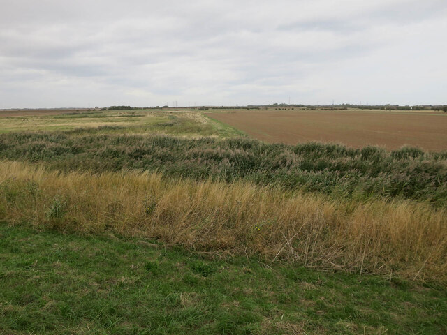
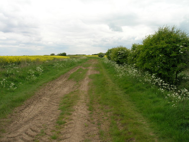
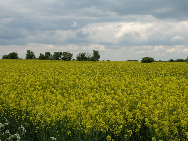
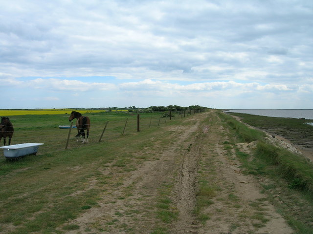
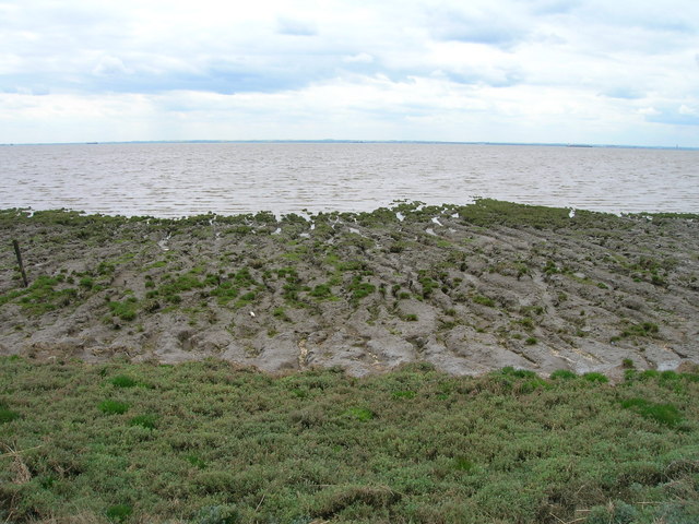
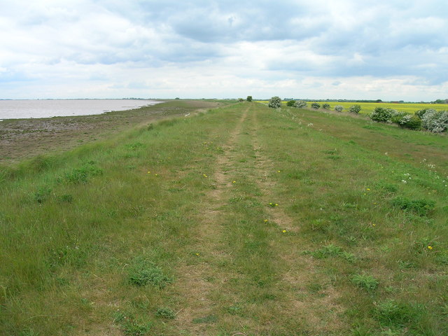
Easington Clough is a beautiful coastal marsh and saltings located in the county of Yorkshire, England. Situated along the North Sea coast, it stretches for approximately 5 kilometers and covers an area of about 200 hectares. The clough is a designated Site of Special Scientific Interest (SSSI) due to its unique and diverse ecosystem.
The marshland is characterized by its extensive mudflats, saltmarshes, and sand dunes. It is a haven for a wide range of bird species, making it a popular destination for birdwatchers and nature enthusiasts. The area is particularly known for its breeding colonies of seabirds, such as terns, gulls, and waders, which nest on the saltmarshes and feed in the mudflats.
The clough also supports a variety of plant life, including grasses, rushes, and samphire, which thrive in the brackish water and saline soil. These plants provide important habitats for insects and invertebrates, which in turn attract birds and other wildlife.
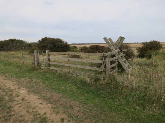
Visitors to Easington Clough can enjoy various activities, such as walking along the coastal trails, observing the abundant birdlife, and exploring the sand dunes. The clough offers stunning views of the North Sea and the surrounding countryside, making it a picturesque location for nature photography.
It is worth noting that Easington Clough is a protected area, and visitors are encouraged to respect the fragile ecosystem by staying on designated paths and avoiding disturbing the wildlife. The clough is managed by local conservation organizations in collaboration with government agencies to ensure its preservation for future generations to enjoy.
If you have any feedback on the listing, please let us know in the comments section below.
Easington Clough Images
Images are sourced within 2km of 53.630714/0.10738289 or Grid Reference TA3916. Thanks to Geograph Open Source API. All images are credited.


Easington Clough is located at Grid Ref: TA3916 (Lat: 53.630714, Lng: 0.10738289)
Division: East Riding
Unitary Authority: East Riding of Yorkshire
Police Authority: Humberside
What 3 Words
///comfort.oiled.ridiculed. Near Easington, North Yorkshire
Nearby Locations
Related Wikis

Kilnsea
Kilnsea is a village in the civil parish of Easington, in the East Riding of Yorkshire, England, in an area known as Holderness. It is situated approximately...

Church of St Helen, Kilnsea
The Church of St Helen, Kilnsea, Holderness, East Riding of Yorkshire, England, is a redundant parish church dating from 1864–5. It was designed by the...
Easington, East Riding of Yorkshire
Easington is a small village and civil parish in the East Riding of Yorkshire, England, in the area known as Holderness. A coastal settlement, it is situated...

Skeffling
Skeffling is a village and civil parish in the East Riding of Yorkshire, England, in an area known as Holderness. It is situated approximately 5 miles...
Nearby Amenities
Located within 500m of 53.630714,0.10738289Have you been to Easington Clough?
Leave your review of Easington Clough below (or comments, questions and feedback).