Holbeach Marsh
Coastal Marsh, Saltings in Lincolnshire South Holland
England
Holbeach Marsh
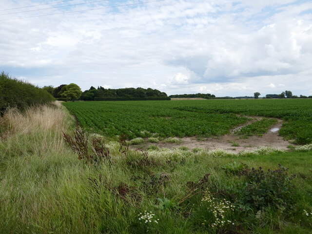
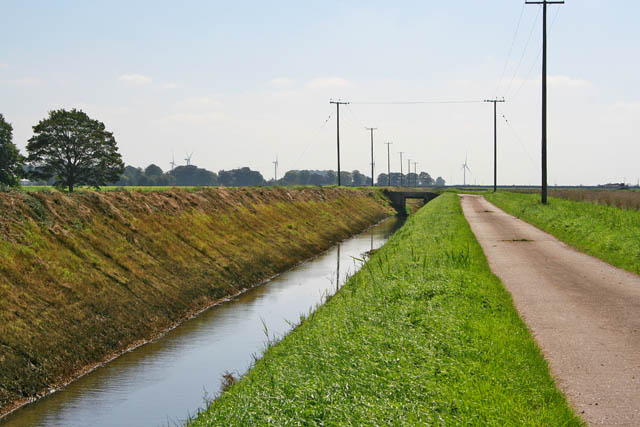
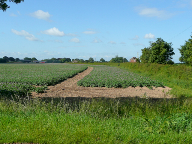
Holbeach Marsh, located in Lincolnshire, is a coastal marsh and saltmarsh area renowned for its unique ecological characteristics and scenic beauty. Situated along the eastern coast of England, it stretches over an area of approximately 3,000 hectares and is part of the larger Wash Estuary.
The marshland is characterized by its diverse and rich flora and fauna. The saltmarshes provide a habitat for a variety of plant species, including samphire, sea lavender, and sea aster. These plants thrive in the brackish water conditions and contribute to the marsh's distinct visual appeal. The area is also home to numerous bird species, such as curlews, avocets, and redshanks, making it a popular destination for birdwatchers and nature enthusiasts.
Holbeach Marsh has a long history of human interaction and agricultural use. Over the years, the land has been reclaimed and transformed for farming purposes. The marshland's fertile soils are predominantly used for arable farming, particularly cultivating vegetables and cereal crops.
In addition to its ecological and agricultural significance, Holbeach Marsh offers recreational opportunities for visitors. The marsh provides tranquil walking trails, allowing visitors to immerse themselves in the natural beauty and observe the diverse wildlife. The vast open landscapes and expansive skies also make it a popular spot for landscape photography.
Overall, Holbeach Marsh is a captivating coastal marsh and saltmarsh area that showcases the unique natural beauty and ecological diversity of Lincolnshire.
If you have any feedback on the listing, please let us know in the comments section below.
Holbeach Marsh Images
Images are sourced within 2km of 52.860316/0.067036295 or Grid Reference TF3931. Thanks to Geograph Open Source API. All images are credited.


Holbeach Marsh is located at Grid Ref: TF3931 (Lat: 52.860316, Lng: 0.067036295)
Administrative County: Lincolnshire
District: South Holland
Police Authority: Lincolnshire
What 3 Words
///denser.mirror.resurgent. Near Holbeach, Lincolnshire
Nearby Locations
Related Wikis
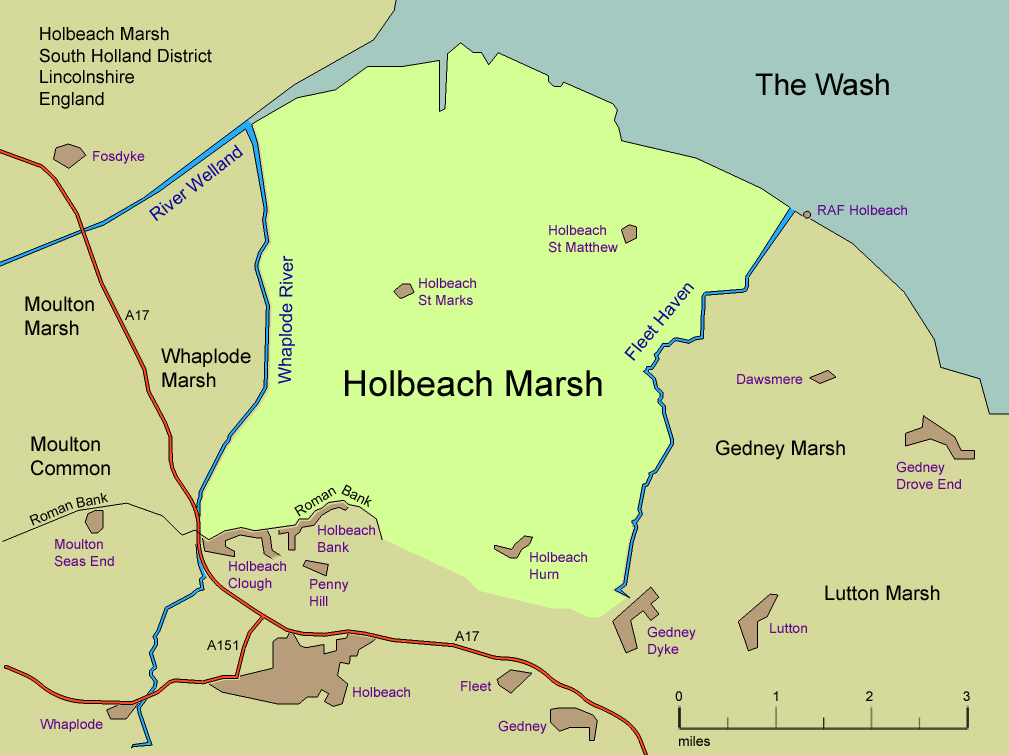
Holbeach Marsh
Holbeach Marsh is a fenland area in the South Holland district of Lincolnshire, England. Holbeach Marsh is situated between the market town of Holbeach...

Holbeach St Marks
Holbeach St Marks is a fenland village in the South Holland district of southern Lincolnshire, England. It is 5 miles (8 km) north from Holbeach, 3 miles...

Holbeach St Matthew
Holbeach St Matthew is a small fenland village in the South Holland district of southern Lincolnshire, England. It lies 6 miles (10 km) north-east from...

Holbeach Hurn
Holbeach Hurn is a small fenland village in the civil parish of Holbeach in the South Holland district of southern Lincolnshire, England. It is 2.5 miles...
Nearby Amenities
Located within 500m of 52.860316,0.067036295Have you been to Holbeach Marsh?
Leave your review of Holbeach Marsh below (or comments, questions and feedback).