Firtholme Clough
Valley in Yorkshire
England
Firtholme Clough
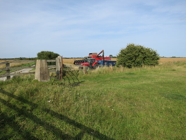
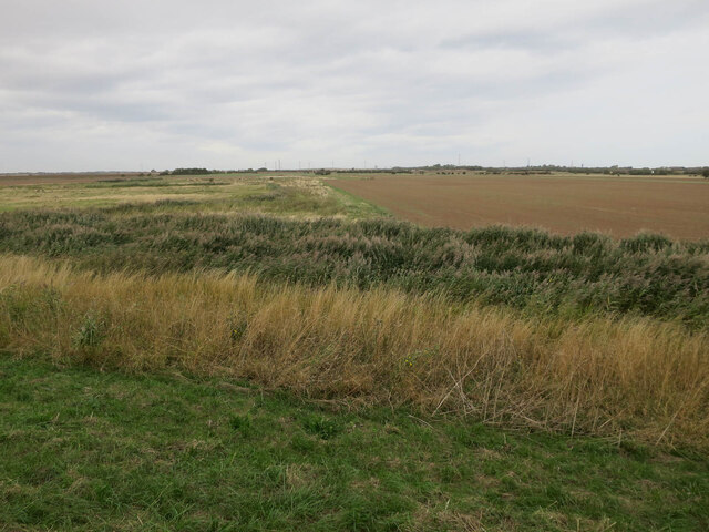
Firtholme Clough is a picturesque valley located in the county of Yorkshire, England. Stretching over several miles, this natural wonder is nestled in the heart of the North York Moors National Park, offering visitors a tranquil and scenic escape from the bustling urban life.
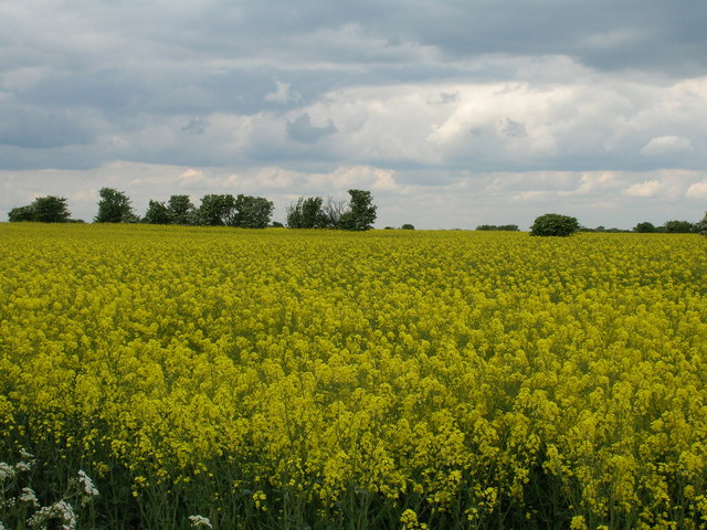
The valley is characterized by its rolling hills, lush green meadows, and dense woodland, creating a diverse and rich ecosystem. Firtholme Clough is renowned for its breathtaking views, with the landscape changing dramatically throughout the seasons. In spring, the valley is adorned with vibrant wildflowers, while autumn brings a colorful display of foliage that attracts hikers, nature enthusiasts, and photographers alike.
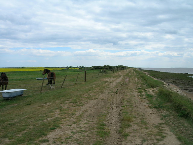
The valley is intersected by a meandering river, which adds to the charm of Firtholme Clough. The river's crystal-clear waters flow gently, creating small cascades and providing a soothing soundtrack for those exploring the area. The river also attracts a variety of wildlife, including otters, kingfishers, and various species of fish.
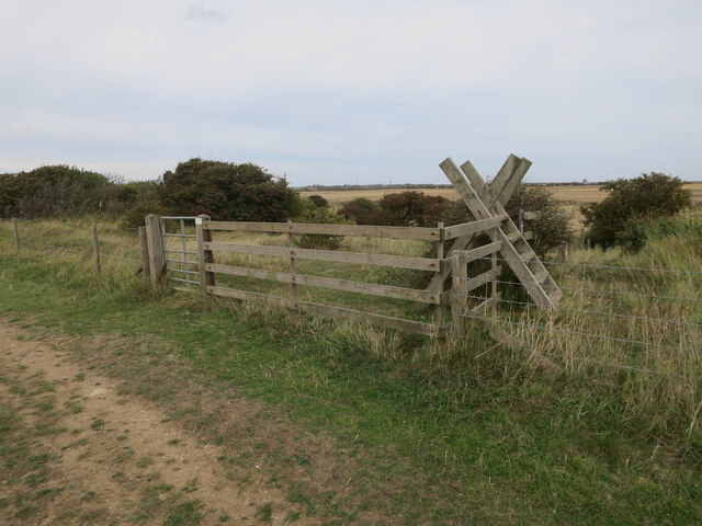
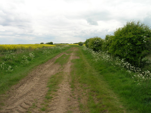
For outdoor enthusiasts, Firtholme Clough offers a plethora of activities. The valley is crisscrossed with walking paths and trails, ranging from leisurely strolls to more challenging hikes. These trails provide access to stunning viewpoints and hidden gems within the valley, including ancient stone circles and historical ruins.
Overall, Firtholme Clough is a true natural gem within Yorkshire. With its idyllic scenery, diverse wildlife, and ample recreational opportunities, it is a must-visit destination for anyone seeking a peaceful and rejuvenating experience in the heart of nature.
If you have any feedback on the listing, please let us know in the comments section below.
Firtholme Clough Images
Images are sourced within 2km of 53.62856/0.11379396 or Grid Reference TA3916. Thanks to Geograph Open Source API. All images are credited.


Firtholme Clough is located at Grid Ref: TA3916 (Lat: 53.62856, Lng: 0.11379396)
Division: East Riding
Unitary Authority: East Riding of Yorkshire
Police Authority: Humberside
What 3 Words
///nearing.argue.sunbeam. Near Easington, North Yorkshire
Nearby Locations
Related Wikis

Kilnsea
Kilnsea is a village in the civil parish of Easington, in the East Riding of Yorkshire, England, in an area known as Holderness. It is situated approximately...

Church of St Helen, Kilnsea
The Church of St Helen, Kilnsea, Holderness, East Riding of Yorkshire, England, is a redundant parish church dating from 1864–5. It was designed by the...
Easington, East Riding of Yorkshire
Easington is a small village and civil parish in the East Riding of Yorkshire, England, in the area known as Holderness. A coastal settlement, it is situated...

Spurn Point military railway
The Spurn Point military railway was a railway line in the East Riding of Yorkshire, England. It extended for 3+3⁄4 miles (6 km), connecting Kilnsea with...
Nearby Amenities
Located within 500m of 53.62856,0.11379396Have you been to Firtholme Clough?
Leave your review of Firtholme Clough below (or comments, questions and feedback).