Angerton

Civil Parish in Lancashire South Lakeland

England

Angerton

A595 near Skellow Crag End
A595 near Skellow Crag End Credit: Colin Pyle

Angerton is a civil parish located in the county of Lancashire, England. Situated in the northwestern part of the country, Angerton covers a total area of approximately 5 square miles.

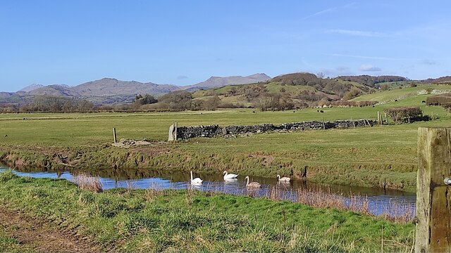
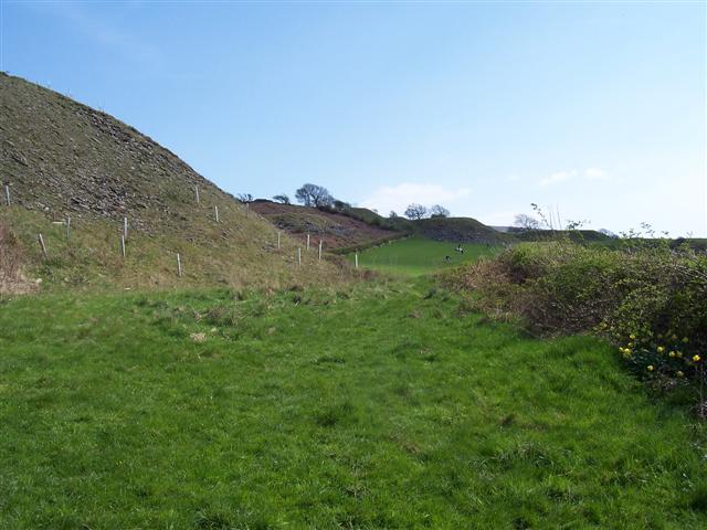
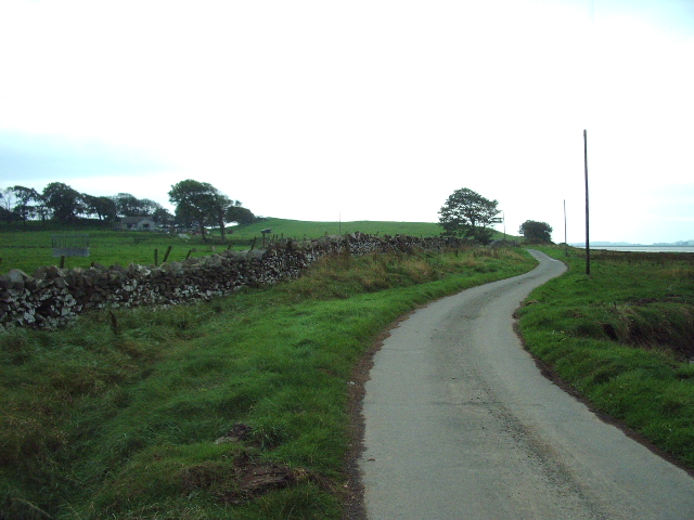
The parish is primarily a rural area characterized by its picturesque landscapes and rolling hills. It is surrounded by other civil parishes, including Gisburn, Paythorne, and Bolton-by-Bowland. The nearby towns of Clitheroe and Skipton provide convenient access to various amenities and services.

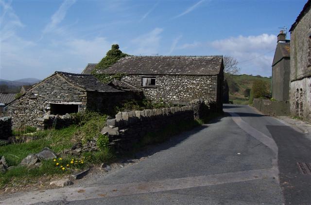
Angerton is home to a small population, with approximately 200 residents living in the area. The parish consists mainly of traditional stone-built houses and farms, reflecting its agricultural heritage. The local economy is primarily centered around farming and agriculture, with livestock and crop cultivation being the main activities.

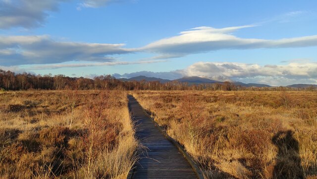
The area boasts several natural attractions, including Angerton Reservoir and the surrounding woodlands, which offer opportunities for outdoor activities such as walking, hiking, and birdwatching. Angerton also benefits from its proximity to the Forest of Bowland, an Area of Outstanding Natural Beauty, which attracts visitors from far and wide.

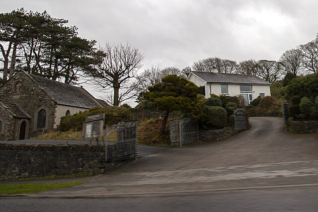
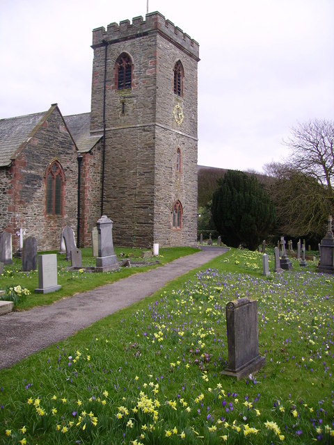
The parish has a close-knit community, with various community events and gatherings throughout the year. The local church, St. John the Baptist, serves as a focal point for religious and community activities. Additionally, there are a few small businesses and services in the area, including a village hall, a primary school, and a local pub.

Overall, Angerton is a tranquil and scenic civil parish, offering a peaceful rural lifestyle and a strong sense of community.

If you have any feedback on the listing, please let us know in the comments section below.
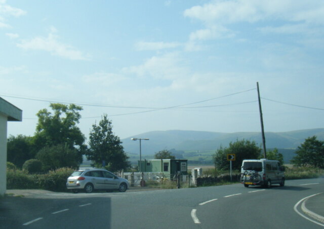
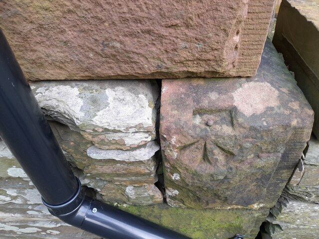
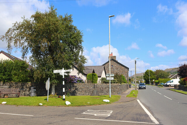
Angerton Images

Images are sourced within 2km of 54.241779/-3.199908 or Grid Reference SD2183. Thanks to Geograph Open Source API. All images are credited.

A595 near Skellow Crag End
Ordnance Survey Cut Mark This OS cut mark can be found on the wall SE side of the road. It marks a point 6.417m above mean sea level.
Ordnance Survey Cut Mark
This OS cut mark can be found on the wall SE side of the road. It marks a point 6.417m above mean sea level.
Ordnance Survey Rivet This OS rivet can be found on the south angle of the chapel. It marks a point 7.616m above mean sea level.
Ordnance Survey Rivet
This OS rivet can be found on the south angle of the chapel. It marks a point 7.616m above mean sea level.
Ordnance Survey Rivet This OS rivet can be found on the wall north side of the road. It marks a point 22.275m above mean sea level.
Ordnance Survey Rivet
This OS rivet can be found on the wall north side of the road. It marks a point 22.275m above mean sea level.
Ordnance Survey Cut Mark This OS cut mark can be found on the gatepost NW side of the road. It marks a point 26.665m above mean sea level.
Ordnance Survey Cut Mark
This OS cut mark can be found on the gatepost NW side of the road. It marks a point 26.665m above mean sea level.
Ordnance Survey Cut Mark This damaged OS cut mark can be found on Waters Edge west side of the road. It marks a point 5.823m above mean sea level.
Ordnance Survey Cut Mark
This damaged OS cut mark can be found on Waters Edge west side of the road. It marks a point 5.823m above mean sea level.
Ordnance Survey Cut Mark This OS cut mark can be found on the gatepost of The Hermitage. It marks a point 29.942m above mean sea level.
Ordnance Survey Cut Mark
This OS cut mark can be found on the gatepost of The Hermitage. It marks a point 29.942m above mean sea level.
Ordnance Survey Cut Mark This hidden OS cut mark can be found on the wall SW side of the road. It marks a point 32.935m above mean sea level.
Ordnance Survey Cut Mark
This hidden OS cut mark can be found on the wall SW side of the road. It marks a point 32.935m above mean sea level.
Ordnance Survey Cut Mark This OS cut mark can be found on the NW face of the school. It marks a point 43.239m above mean sea level.
Ordnance Survey Cut Mark
This OS cut mark can be found on the NW face of the school. It marks a point 43.239m above mean sea level.
Askew Gate Road junction at Kirkby-in-Furness.
Askew Gate
Road junction at Kirkby-in-Furness.
Applegarth
Applegarth
path at Duddon Mosses National Nature Reserve On Bank End Moss. Caw and the Coniston range on the skyline, with a snow-capped "Old Man".
path at Duddon Mosses National Nature Reserve
On Bank End Moss. Caw and the Coniston range on the skyline, with a snow-capped "Old Man".
Swans on Kirkby Pool near Moss House, Angerton Kirkby Pool flows through the mosses, entering the Duddon estuary at Kirkby-in-Furness. On the skyline are Caw and the Coniston range.
Swans on Kirkby Pool near Moss House, Angerton
Kirkby Pool flows through the mosses, entering the Duddon estuary at Kirkby-in-Furness. On the skyline are Caw and the Coniston range.
Kirkby in Furness The train is an excellent way of reaching the west coast of Cumbria
Kirkby in Furness
The train is an excellent way of reaching the west coast of Cumbria
Newly planted spoil heaps If the trees really grow they may affect the wind farm above them but they are so exposed I do not think much of a difference will occur.
Newly planted spoil heaps
If the trees really grow they may affect the wind farm above them but they are so exposed I do not think much of a difference will occur.
Dove Ford A real bottleneck at times as the road passes between the buildings.
Dove Ford
A real bottleneck at times as the road passes between the buildings.
Level Crossing Foxfield Black Combe in the distance.
Level Crossing Foxfield
Black Combe in the distance.
The Road to Angerton Angerton can just be seen in the trees to the left
The Road to Angerton
Angerton can just be seen in the trees to the left
Show me another place!

Angerton is located at Grid Ref: SD2183 (Lat: 54.241779, Lng: -3.199908)

Administrative County: Cumbria

District: South Lakeland

Police Authority: Cumbria

What 3 Words

///protester.sectors.coiling. Near Millom, Cumbria

Related Wikis

Angerton, South Lakeland

Angerton is a civil parish in the Westmorland and Furness district of the ceremonial county of Cumbria, England, historically part of the Furness portion...

Kirkby Ireleth

Kirkby Ireleth is a civil parish in the South Lakeland district of the English county of Cumbria. It includes the villages of Grizebeck and Kirkby-in...

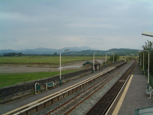
Kirkby-in-Furness railway station

Kirkby-in-Furness is a railway station on the Cumbrian Coast Line, which runs between Carlisle and Barrow-in-Furness. The station, situated 9+1⁄4 miles...

Kirkby-in-Furness

Kirkby-in-Furness, generally referred to simply as Kirkby locally, is a village that is the major part of the parish of Kirkby Ireleth in the Furness district...

Related Videos

The Perfect Lake District Cottage - Tour and Meet the AirBnB Hosts

Meet John and Helen, the hosts of our favorite cottage in the Lake District and take a tour of their charming home. Chapels is a ...

Best Pubs in the Lake District, England

We stayed in Chapels, a small hamlet in Kirkby-in-Furness in the southern part of the Lake District in England. We enjoyed new ...

Kirkby-in-Furness & Askam Stations (Cumbrian Coast Line) - 19th July 2023

Hello Everyone, welcome to my second video from the beautiful Duddon Valley in South West Cumbria. Travelling once again ...

Green Road & Foxfield Stations (Cumbrian Coast Line) - 29th June 2023

Hello Everyone, welcome to the first of 2 videos coming from the beautiful Duddon Valley in South West Cumbria. It is often ...

Nearby Amenities

Located within 500m of 54.241779,-3.199908
The data included in this document is from www.openstreetmap.org. The data is made available under ODbL.

Have you been to Angerton?

Leave your review of Angerton below (or comments, questions and feedback).