Herd House Moss

Downs, Moorland in Lancashire South Lakeland

England

Herd House Moss

A595 near Skellow Crag End
A595 near Skellow Crag End Credit: Colin Pyle

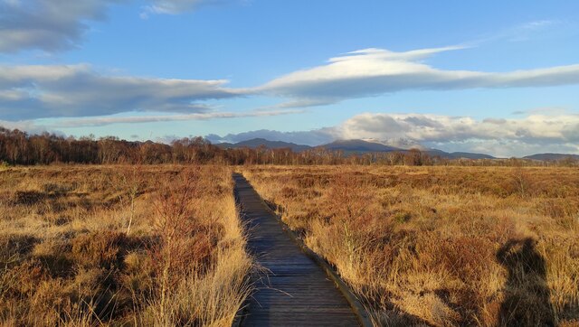
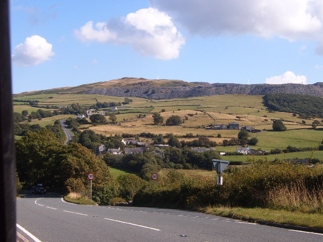
Herd House Moss is a scenic area located in the county of Lancashire, England. Situated within the larger region of the Forest of Bowland, it is renowned for its diverse landscape, encompassing downs and moorland. Spanning over a considerable area, Herd House Moss attracts visitors with its breathtaking views and natural beauty.

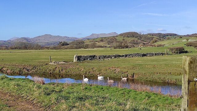
The downs in Herd House Moss are characterized by their gently sloping hills and open grassland. These expansive spaces offer an ideal environment for grazing livestock and are often dotted with sheep and cattle. The downs provide a serene and tranquil atmosphere, allowing visitors to immerse themselves in the surrounding countryside.

In contrast, the moorland in Herd House Moss offers a different experience. Rugged and untamed, the moorland is characterized by its heather-covered hillsides, rocky outcrops, and peat bogs. This unique landscape provides habitats for a variety of flora and fauna, making it a haven for nature enthusiasts, birdwatchers, and photographers.

The area is also home to several walking and hiking trails, allowing visitors to explore the downs and moorland at their own pace. These trails offer stunning panoramic views of the surrounding countryside and provide an opportunity to observe the local wildlife.

Herd House Moss is a must-visit destination for those seeking a serene escape in the heart of Lancashire. Whether it's the open downs or the rugged moorland, this area offers a unique and captivating experience for nature lovers and outdoor enthusiasts alike.

If you have any feedback on the listing, please let us know in the comments section below.

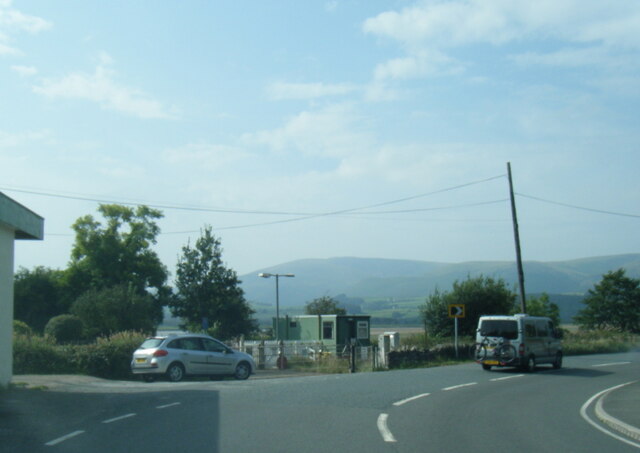
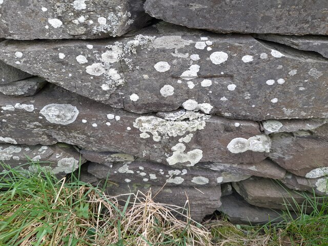
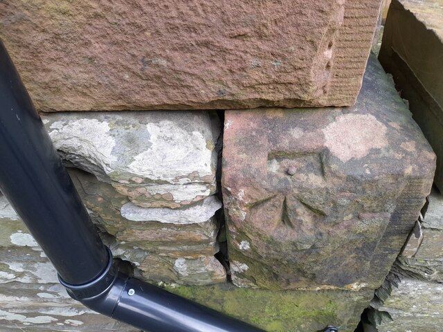
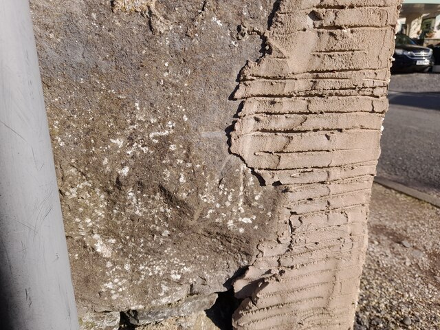
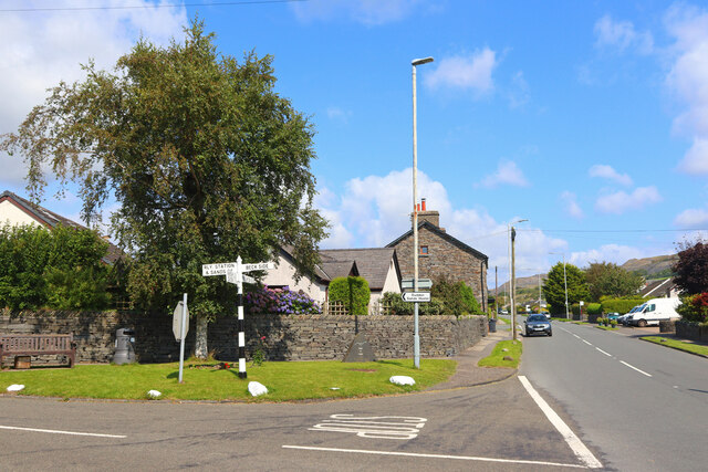
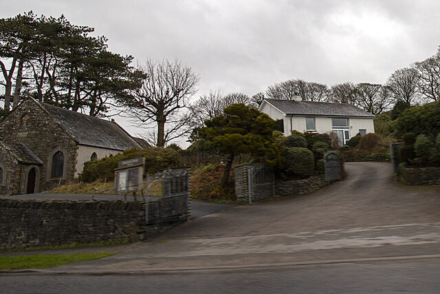
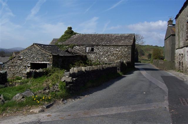
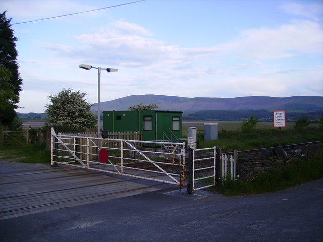
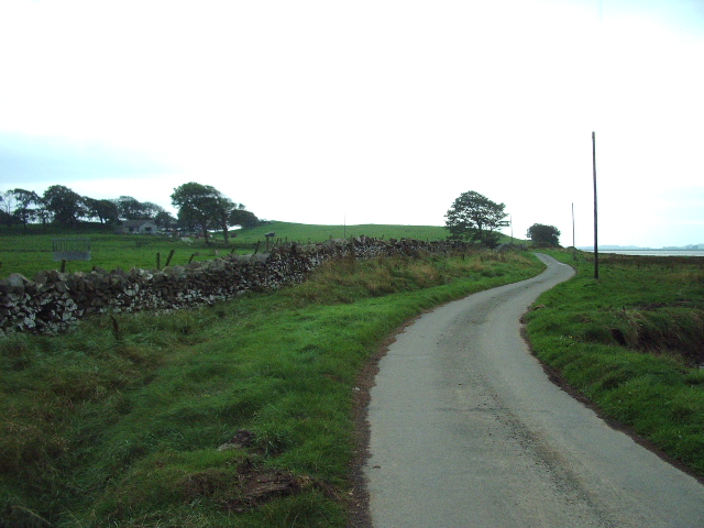
Herd House Moss Images

Images are sourced within 2km of 54.245319/-3.2008746 or Grid Reference SD2183. Thanks to Geograph Open Source API. All images are credited.

A595 near Skellow Crag End
Ordnance Survey Cut Mark This OS cut mark can be found on the wall SE side of the road. It marks a point 6.417m above mean sea level.
Ordnance Survey Cut Mark
This OS cut mark can be found on the wall SE side of the road. It marks a point 6.417m above mean sea level.
Ordnance Survey Rivet This OS rivet can be found on the south angle of the chapel. It marks a point 7.616m above mean sea level.
Ordnance Survey Rivet
This OS rivet can be found on the south angle of the chapel. It marks a point 7.616m above mean sea level.
Ordnance Survey Rivet This OS rivet can be found on the wall north side of the road. It marks a point 22.275m above mean sea level.
Ordnance Survey Rivet
This OS rivet can be found on the wall north side of the road. It marks a point 22.275m above mean sea level.
Ordnance Survey Cut Mark This damaged OS cut mark can be found on Waters Edge west side of the road. It marks a point 5.823m above mean sea level.
Ordnance Survey Cut Mark
This damaged OS cut mark can be found on Waters Edge west side of the road. It marks a point 5.823m above mean sea level.
Ordnance Survey Cut Mark This OS cut mark can be found on the gatepost of The Hermitage. It marks a point 29.942m above mean sea level.
Ordnance Survey Cut Mark
This OS cut mark can be found on the gatepost of The Hermitage. It marks a point 29.942m above mean sea level.
Ordnance Survey Cut Mark This hidden OS cut mark can be found on the wall SW side of the road. It marks a point 32.935m above mean sea level.
Ordnance Survey Cut Mark
This hidden OS cut mark can be found on the wall SW side of the road. It marks a point 32.935m above mean sea level.
Ordnance Survey Cut Mark This OS cut mark can be found on the NW face of the school. It marks a point 43.239m above mean sea level.
Ordnance Survey Cut Mark
This OS cut mark can be found on the NW face of the school. It marks a point 43.239m above mean sea level.
Askew Gate Road junction at Kirkby-in-Furness.
Askew Gate
Road junction at Kirkby-in-Furness.
Applegarth
Applegarth
path at Duddon Mosses National Nature Reserve On Bank End Moss. Caw and the Coniston range on the skyline, with a snow-capped "Old Man".
path at Duddon Mosses National Nature Reserve
On Bank End Moss. Caw and the Coniston range on the skyline, with a snow-capped "Old Man".
Swans on Kirkby Pool near Moss House, Angerton Kirkby Pool flows through the mosses, entering the Duddon estuary at Kirkby-in-Furness. On the skyline are Caw and the Coniston range.
Swans on Kirkby Pool near Moss House, Angerton
Kirkby Pool flows through the mosses, entering the Duddon estuary at Kirkby-in-Furness. On the skyline are Caw and the Coniston range.
Foxfield signal box and station Foxfield signal box and station, trains to Carlisle and Barrow
Foxfield signal box and station
Foxfield signal box and station, trains to Carlisle and Barrow
Kirkby in Furness The train is an excellent way of reaching the west coast of Cumbria
Kirkby in Furness
The train is an excellent way of reaching the west coast of Cumbria
Bank End Hill From the A595, the view includes spoil heaps from Kirby Slate Quarries at SD2484.
Bank End Hill
From the A595, the view includes spoil heaps from Kirby Slate Quarries at SD2484.
Dove Ford A real bottleneck at times as the road passes between the buildings.
Dove Ford
A real bottleneck at times as the road passes between the buildings.
Level Crossing Foxfield Black Combe in the distance.
Level Crossing Foxfield
Black Combe in the distance.
The Road to Angerton Angerton can just be seen in the trees to the left
The Road to Angerton
Angerton can just be seen in the trees to the left
Show me another place!

Herd House Moss is located at Grid Ref: SD2183 (Lat: 54.245319, Lng: -3.2008746)

Administrative County: Cumbria

District: South Lakeland

Police Authority: Cumbria

What 3 Words

///garages.singled.walls. Near Millom, Cumbria

Related Wikis

Angerton, South Lakeland

Angerton is a civil parish in the Westmorland and Furness district of the ceremonial county of Cumbria, England, historically part of the Furness portion...

Kirkby Ireleth

Kirkby Ireleth is a civil parish in the South Lakeland district of the English county of Cumbria. It includes the villages of Grizebeck and Kirkby-in...

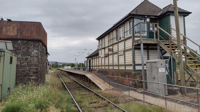
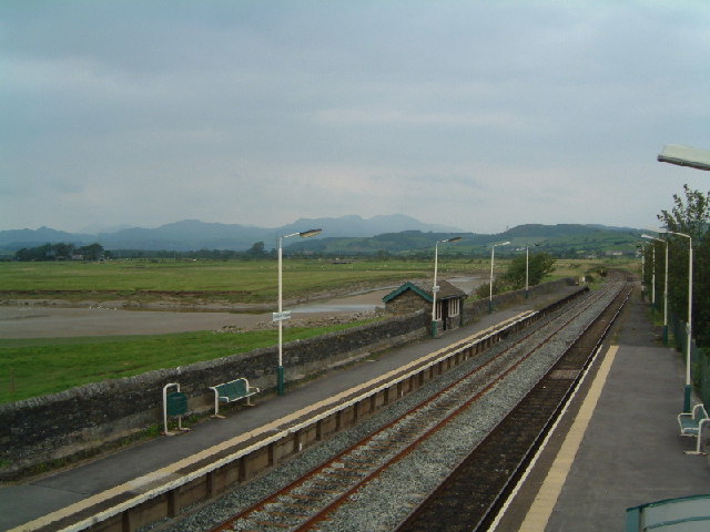
Kirkby-in-Furness railway station

Kirkby-in-Furness is a railway station on the Cumbrian Coast Line, which runs between Carlisle and Barrow-in-Furness. The station, situated 9+1⁄4 miles...

Foxfield, Cumbria

Foxfield is a village on the west coast of Cumbria, England, in the Furness district that was part of Lancashire from 1182 to 1974. It lies on the Duddon...

Nearby Amenities

Located within 500m of 54.245319,-3.2008746
Source: PGS
Lat/Long: 54.2431662/-3.2073238
Power: tower
Lat/Long: 54.2475643/-3.1960848
Power: pole
Lat/Long: 54.2466276/-3.1939378
Power: pole
Lat/Long: 54.2472717/-3.1950035
Power: pole
Lat/Long: 54.2479684/-3.1961938
Power: pole
Lat/Long: 54.2485283/-3.1971564
Power: pole
Lat/Long: 54.249259/-3.1984069
Power: pole
Lat/Long: 54.247547/-3.1942023
The data included in this document is from www.openstreetmap.org. The data is made available under ODbL.

Have you been to Herd House Moss?

Leave your review of Herd House Moss below (or comments, questions and feedback).