Angerton Marsh
Coastal Marsh, Saltings in Lancashire South Lakeland
England
Angerton Marsh
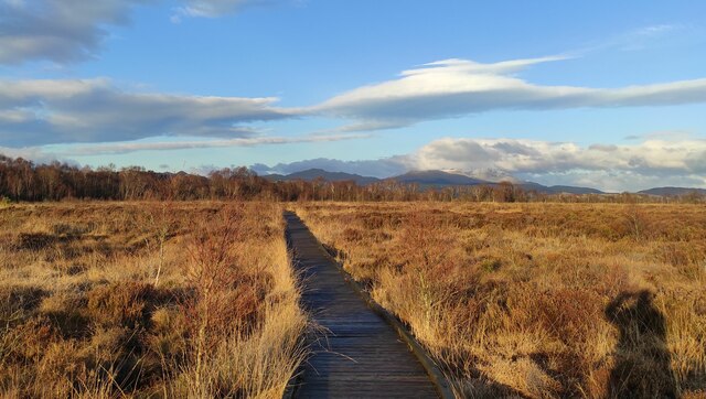
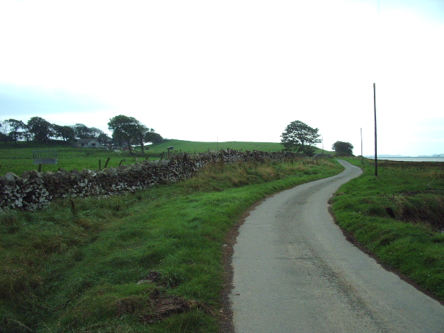
Angerton Marsh is a coastal marshland located in Lancashire, England. It is situated near the town of Blackpool, specifically in the area known as the Fylde Coast. The marsh is characterized by its diverse ecosystem, consisting of marshland and saltings.
Covering an extensive area, Angerton Marsh is primarily composed of wetlands that are subject to tidal influence. These wetlands provide a unique habitat for various species of plants and animals. The marshland is dominated by salt-tolerant grasses and reeds, such as sea couch grass and saltmarsh rush, which thrive in the brackish conditions created by the mixture of saltwater and freshwater.
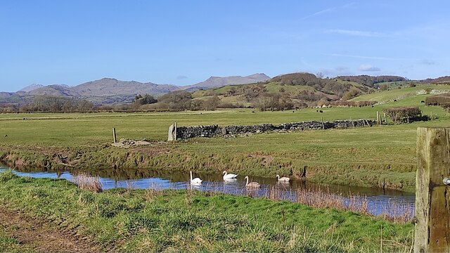
The marsh is also home to a wide range of bird species, including waders, ducks, and geese. This makes it an important site for birdwatching enthusiasts and conservationists. Additionally, the marshland serves as a vital breeding ground for many species of fish and invertebrates.
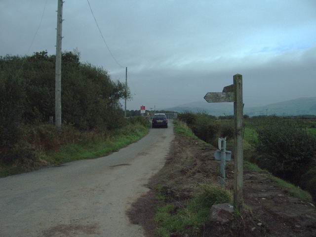
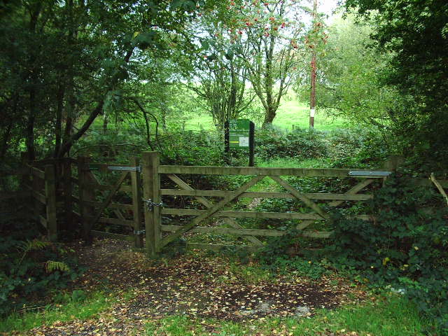
Angerton Marsh is not only ecologically significant but also offers recreational opportunities for visitors. The marshland provides a serene and picturesque landscape, perfect for nature walks and photography. It also offers a peaceful escape from the bustling nearby towns and cities.
Furthermore, the marsh serves as a natural buffer, protecting the surrounding areas from coastal erosion and flooding. The vegetation and sediment in the marsh act as a barrier, absorbing the force of incoming waves and reducing the impact on the coast.
Overall, Angerton Marsh is a valuable coastal ecosystem, contributing to the biodiversity of the region and providing a range of benefits, from wildlife conservation to recreational activities and coastal protection.
If you have any feedback on the listing, please let us know in the comments section below.
Angerton Marsh Images
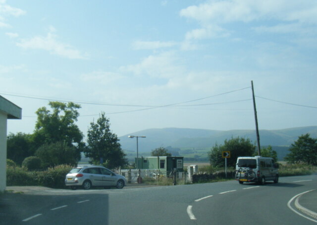
Images are sourced within 2km of 54.242138/-3.2026083 or Grid Reference SD2183. Thanks to Geograph Open Source API. All images are credited.


Angerton Marsh is located at Grid Ref: SD2183 (Lat: 54.242138, Lng: -3.2026083)
Administrative County: Cumbria
District: South Lakeland
Police Authority: Cumbria
What 3 Words
///estimates.wells.flitting. Near Millom, Cumbria
Nearby Locations
Related Wikis

Angerton, South Lakeland
Angerton is a civil parish in the Westmorland and Furness district of the ceremonial county of Cumbria, England, historically part of the Furness portion...

Kirkby Ireleth
Kirkby Ireleth is a civil parish in the South Lakeland district of the English county of Cumbria. It includes the villages of Grizebeck and Kirkby-in...

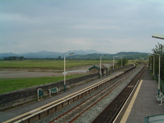
Kirkby-in-Furness railway station
Kirkby-in-Furness is a railway station on the Cumbrian Coast Line, which runs between Carlisle and Barrow-in-Furness. The station, situated 9+1⁄4 miles...

Kirkby-in-Furness
Kirkby-in-Furness, generally referred to simply as Kirkby locally, is a village that is the major part of the parish of Kirkby Ireleth in the Furness district...

Foxfield, Cumbria
Foxfield is a village on the west coast of Cumbria, England, in the Furness district that was part of Lancashire from 1182 to 1974. It lies on the Duddon...

Foxfield railway station
Foxfield is a railway station on the Cumbrian Coast Line, which runs between Carlisle and Barrow-in-Furness. The station, situated 11+1⁄2 miles (19 km...

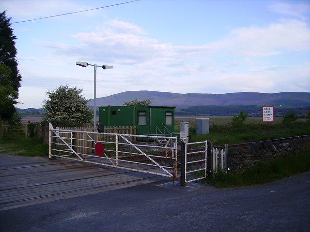
Green Road railway station
Green Road is a railway station on the Cumbrian Coast Line, which runs between Carlisle and Barrow-in-Furness. The station, situated 13+1⁄2 miles (22 km...

Millom Without
Millom Without is a civil parish in the county of Cumbria, England. It had a population of 1,638 in 2001, decreasing to 859 at the 2011 Census. Millom...
Nearby Amenities
Located within 500m of 54.242138,-3.2026083Have you been to Angerton Marsh?
Leave your review of Angerton Marsh below (or comments, questions and feedback).