Whelpshead Crag

Coastal Feature, Headland, Point in Lancashire South Lakeland

England

Whelpshead Crag

A595 near Skellow Crag End
A595 near Skellow Crag End Credit: Colin Pyle

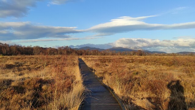
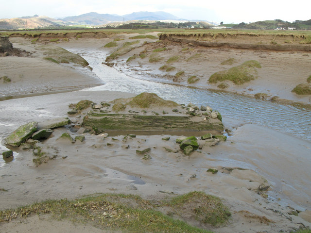
Whelpshead Crag is a prominent coastal feature located in Lancashire, England. Situated on the coastline, it is a striking headland that juts out into the Irish Sea. The crag is known for its rugged and imposing appearance, making it a popular destination for nature enthusiasts and hikers alike.

The headland is characterized by its sheer cliffs, which rise dramatically from the water below. These cliffs, made of sedimentary rock, showcase a variety of geological formations and vibrant colors, adding to the visual appeal of the area. The jagged edges and steep inclines of Whelpshead Crag provide a challenging terrain for those seeking adventure.

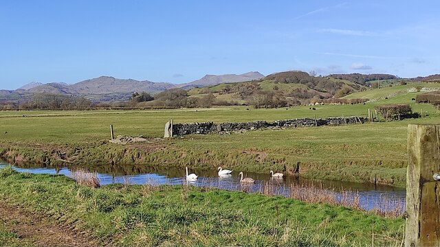
The crag is also home to a diverse range of flora and fauna. The exposed cliffs create a unique habitat for various bird species, such as puffins, guillemots, and kittiwakes, making it a haven for birdwatchers. Additionally, the surrounding waters are known for their rich marine life, with seals often spotted lounging on the rocks and dolphins occasionally seen swimming nearby.

Whelpshead Crag offers breathtaking panoramic views of the coastline and the vast expanse of the Irish Sea. On clear days, visitors can see as far as the Isle of Man, adding to the allure of this coastal feature. The headland is a popular spot for photographers, who flock to capture the beauty of the landscape and capture the stunning sunsets that grace the area.

Overall, Whelpshead Crag is a striking and diverse coastal feature in Lancashire, offering a unique combination of rugged cliffs, abundant wildlife, and picturesque views. It is a must-visit destination for nature lovers and those seeking a memorable coastal experience.

If you have any feedback on the listing, please let us know in the comments section below.

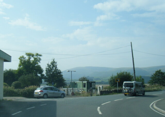
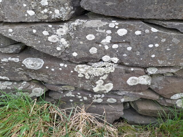
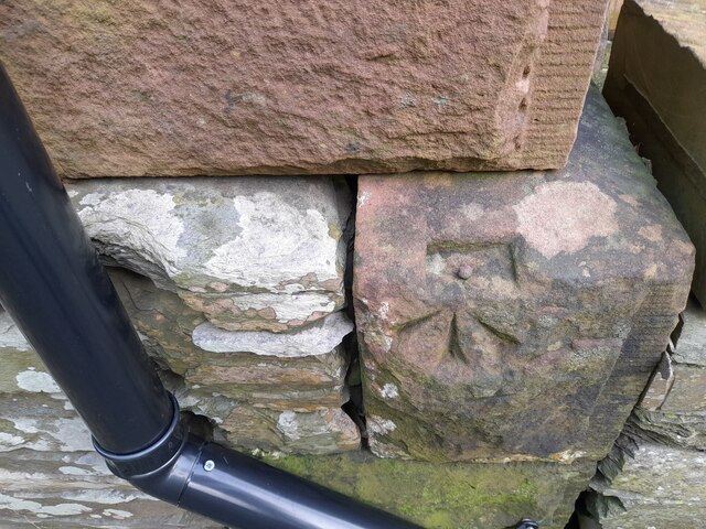
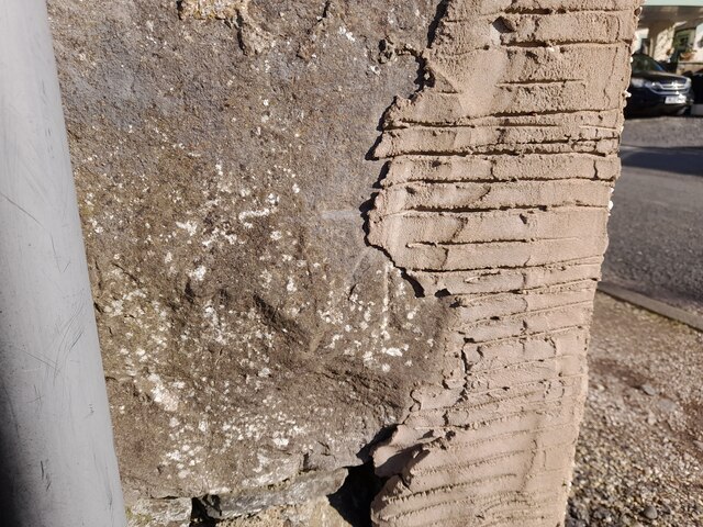
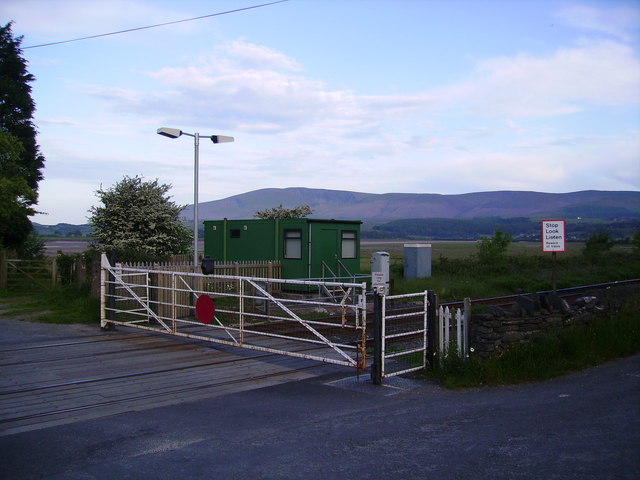
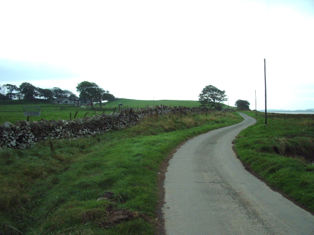
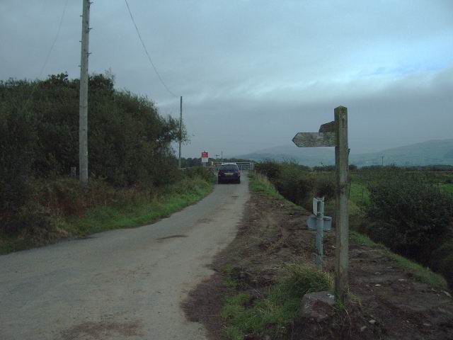
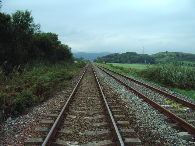
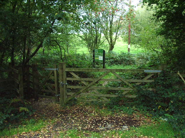
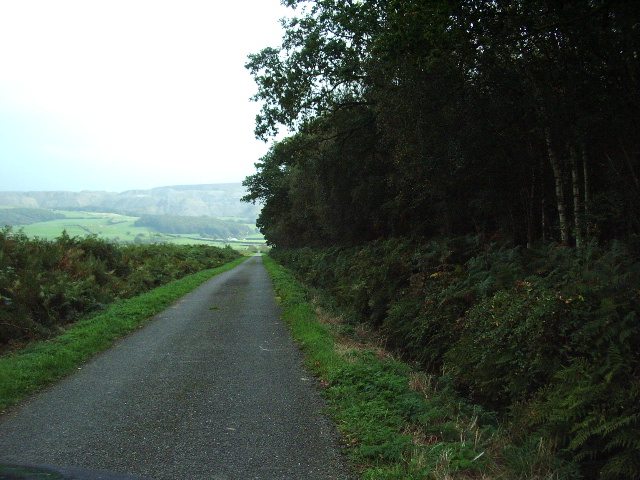
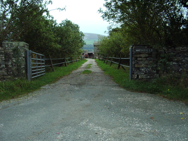
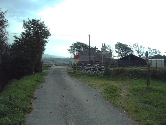
Whelpshead Crag Images

Images are sourced within 2km of 54.242901/-3.2080782 or Grid Reference SD2183. Thanks to Geograph Open Source API. All images are credited.

A595 near Skellow Crag End
Ordnance Survey Cut Mark This OS cut mark can be found on the wall SE side of the road. It marks a point 6.417m above mean sea level.
Ordnance Survey Cut Mark
This OS cut mark can be found on the wall SE side of the road. It marks a point 6.417m above mean sea level.
Ordnance Survey Rivet This OS rivet can be found on the south angle of the chapel. It marks a point 7.616m above mean sea level.
Ordnance Survey Rivet
This OS rivet can be found on the south angle of the chapel. It marks a point 7.616m above mean sea level.
Ordnance Survey Rivet This OS rivet can be found on the wall north side of the road. It marks a point 22.275m above mean sea level.
Ordnance Survey Rivet
This OS rivet can be found on the wall north side of the road. It marks a point 22.275m above mean sea level.
Ordnance Survey Cut Mark This damaged OS cut mark can be found on Waters Edge west side of the road. It marks a point 5.823m above mean sea level.
Ordnance Survey Cut Mark
This damaged OS cut mark can be found on Waters Edge west side of the road. It marks a point 5.823m above mean sea level.
path at Duddon Mosses National Nature Reserve On Bank End Moss. Caw and the Coniston range on the skyline, with a snow-capped "Old Man".
path at Duddon Mosses National Nature Reserve
On Bank End Moss. Caw and the Coniston range on the skyline, with a snow-capped "Old Man".
Swans on Kirkby Pool near Moss House, Angerton Kirkby Pool flows through the mosses, entering the Duddon estuary at Kirkby-in-Furness. On the skyline are Caw and the Coniston range.
Swans on Kirkby Pool near Moss House, Angerton
Kirkby Pool flows through the mosses, entering the Duddon estuary at Kirkby-in-Furness. On the skyline are Caw and the Coniston range.
Foxfield signal box and station Foxfield signal box and station, trains to Carlisle and Barrow
Foxfield signal box and station
Foxfield signal box and station, trains to Carlisle and Barrow
Kirkby in Furness The train is an excellent way of reaching the west coast of Cumbria
Kirkby in Furness
The train is an excellent way of reaching the west coast of Cumbria
Level Crossing Foxfield Black Combe in the distance.
Level Crossing Foxfield
Black Combe in the distance.
The Road to Angerton Angerton can just be seen in the trees to the left
The Road to Angerton
Angerton can just be seen in the trees to the left
Level crossing near Angerton
Railway Looking down the track towards Foxfield.
Railway
Looking down the track towards Foxfield.
Gate Entrance to Duddon Nature Reserve
Gate
Entrance to Duddon Nature Reserve
Cumbria Coastal Way Part of the Cumbria coastal Way with Waitham Coppice on the left
Cumbria Coastal Way
Part of the Cumbria coastal Way with Waitham Coppice on the left
Marsh Field Road and entrance to Marsh Field
Marsh Field
Road and entrance to Marsh Field
Level crossing at Angerton Hall
Remains of river crossing Shaw Marsh on the Duddon Estuary. I have an accurate GPS and found even the latest 1:25000 to be inaccurate in its representation of this major channel ? an example of OS Copyright protection.
Remains of river crossing
Shaw Marsh on the Duddon Estuary. I have an accurate GPS and found even the latest 1:25000 to be inaccurate in its representation of this major channel ? an example of OS Copyright protection.
Show me another place!

Whelpshead Crag is located at Grid Ref: SD2183 (Lat: 54.242901, Lng: -3.2080782)

Administrative County: Cumbria

District: South Lakeland

Police Authority: Cumbria

What 3 Words

///daring.aimed.constrain. Near Millom, Cumbria

Related Wikis

Angerton, South Lakeland

Angerton is a civil parish in the Westmorland and Furness district of the ceremonial county of Cumbria, England, historically part of the Furness portion...

Kirkby Ireleth

Kirkby Ireleth is a civil parish in the South Lakeland district of the English county of Cumbria. It includes the villages of Grizebeck and Kirkby-in...

Foxfield, Cumbria

Foxfield is a village on the west coast of Cumbria, England, in the Furness district that was part of Lancashire from 1182 to 1974. It lies on the Duddon...

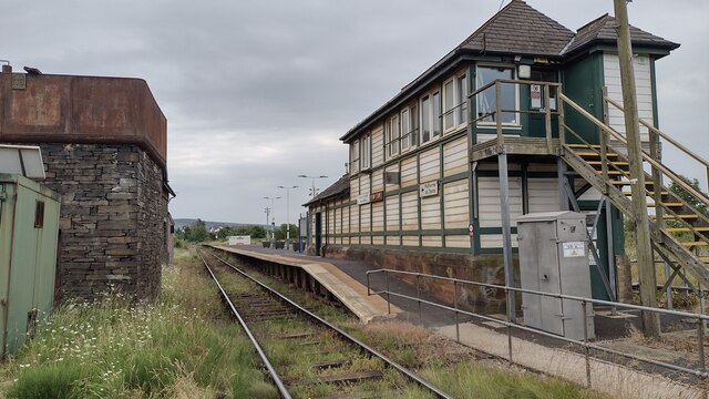
Kirkby-in-Furness railway station

Kirkby-in-Furness is a railway station on the Cumbrian Coast Line, which runs between Carlisle and Barrow-in-Furness. The station, situated 9+1⁄4 miles...

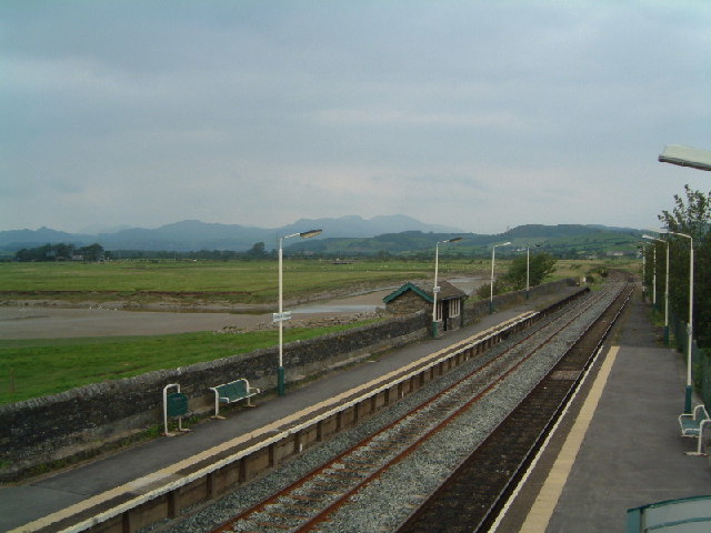
Foxfield railway station

Foxfield is a railway station on the Cumbrian Coast Line, which runs between Carlisle and Barrow-in-Furness. The station, situated 11+1⁄2 miles (19 km...

Kirkby-in-Furness

Kirkby-in-Furness, generally referred to simply as Kirkby locally, is a village that is the major part of the parish of Kirkby Ireleth in the Furness district...

Green Road railway station

Green Road is a railway station on the Cumbrian Coast Line, which runs between Carlisle and Barrow-in-Furness. The station, situated 13+1⁄2 miles (22 km...

Millom Without

Millom Without is a civil parish in the county of Cumbria, England. It had a population of 1,638 in 2001, decreasing to 859 at the 2011 Census. Millom...

Nearby Amenities

Located within 500m of 54.242901,-3.2080782
Source: PGS
Lat/Long: 54.2467711/-3.2114295
Source: PGS
Lat/Long: 54.2466014/-3.211243
Source: PGS
Lat/Long: 54.2466514/-3.210778
Source: PGS
Lat/Long: 54.2445925/-3.2090926
Source: PGS
Lat/Long: 54.2431978/-3.2080893
Source: PGS
Lat/Long: 54.2425465/-3.2087768
Source: PGS
Lat/Long: 54.2426855/-3.2083176
Source: PGS
Lat/Long: 54.2427295/-3.2076411
Source: PGS
Lat/Long: 54.2431662/-3.2073238
The data included in this document is from www.openstreetmap.org. The data is made available under ODbL.

Have you been to Whelpshead Crag?

Leave your review of Whelpshead Crag below (or comments, questions and feedback).