Summer Cleuch Moss
Downs, Moorland in Dumfriesshire
Scotland
Summer Cleuch Moss

Summer Cleuch Moss is a stunning natural area located in Dumfriesshire, Scotland. It is characterized by its picturesque downs and expansive moorland, attracting nature enthusiasts and outdoor adventurers alike.
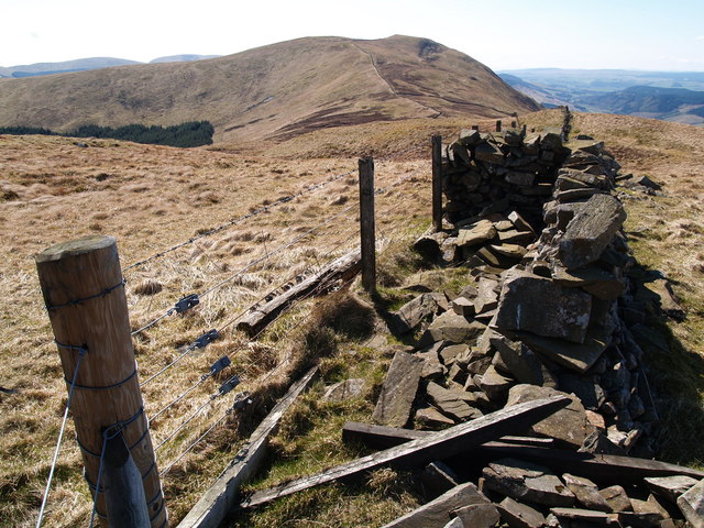
The downs of Summer Cleuch Moss offer breathtaking views of the surrounding landscape. These gently sloping hills are covered in a patchwork of vibrant green grasses, dotted with colorful wildflowers during the summer months. The downs provide ample opportunities for hiking and walking, allowing visitors to immerse themselves in the tranquility and beauty of the area.
The moorland in Summer Cleuch Moss is equally captivating. It is characterized by vast expanses of open grassland, interspersed with heather and moss-covered peat bogs. The moorland is home to a diverse range of flora and fauna, including various bird species, small mammals, and reptiles. It is a haven for nature lovers who can enjoy birdwatching, wildlife spotting, and botanizing in this unique and unspoiled environment.
The area also boasts a rich cultural history. There are remnants of ancient settlements and burial sites, providing a glimpse into the lives of past inhabitants. The moss is also known for its archaeological significance, with artifacts and structures dating back several centuries.
In summary, Summer Cleuch Moss offers a captivating blend of downs and moorland, providing a picturesque and diverse natural landscape. Whether you are seeking outdoor adventures, wildlife encounters, or a glimpse into Scotland's history, this Dumfriesshire gem has something to offer for everyone.
If you have any feedback on the listing, please let us know in the comments section below.
Summer Cleuch Moss Images
Images are sourced within 2km of 55.34628/-3.2339862 or Grid Reference NT2106. Thanks to Geograph Open Source API. All images are credited.


Summer Cleuch Moss is located at Grid Ref: NT2106 (Lat: 55.34628, Lng: -3.2339862)
Unitary Authority: Dumfries and Galloway
Police Authority: Dumfries and Galloway
What 3 Words
///glorious.dragonfly.spare. Near Ettrick, Scottish Borders
Nearby Locations
Related Wikis

Ettrick Pen
Ettrick Pen is a hill in the Ettrick Hills range, part of the Southern Uplands of Scotland. A remote peak, It lies southwest of the village of Ettrick...

Eskdalemuir Observatory
The Eskdalemuir Observatory is a UK national environmental observatory located near Eskdalemuir, Dumfries and Galloway, Scotland. Along with Lerwick and...

Eskdalemuir Forest
Eskdalemuir Forest is a forest north of Eskdalemuir, Dumfries and Galloway, in southern Scotland. It was created as a private enterprise by the Economic...
Bodesbeck Law
Bodesbeck Law is a hill in the Ettrick Hills range, part of the Southern Uplands of Scotland. It is the primary west-south-western terminus of the ridge...
Have you been to Summer Cleuch Moss?
Leave your review of Summer Cleuch Moss below (or comments, questions and feedback).