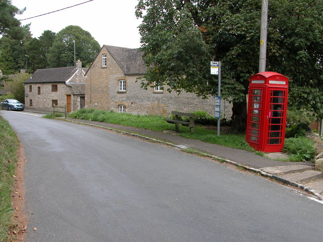
Andoversford

Civil Parish in Gloucestershire Cotswold

England

Andoversford

Communication Mast, St Paul's Epistle Sited near the summit of St.Paul's Epistle this communications mast overlooks the A436 and much lower down in the valley the A40.
Communication Mast, St Paul's Epistle Credit: Terry Jacombs

Andoversford is a civil parish located in the county of Gloucestershire, in the South West region of England. It is situated approximately 10 miles east of Cheltenham and 8 miles north of Cirencester. The parish covers an area of about 6.5 square kilometers and has a population of around 500 residents.

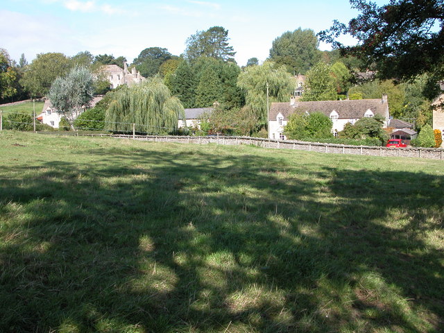
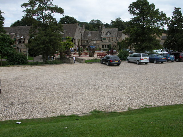
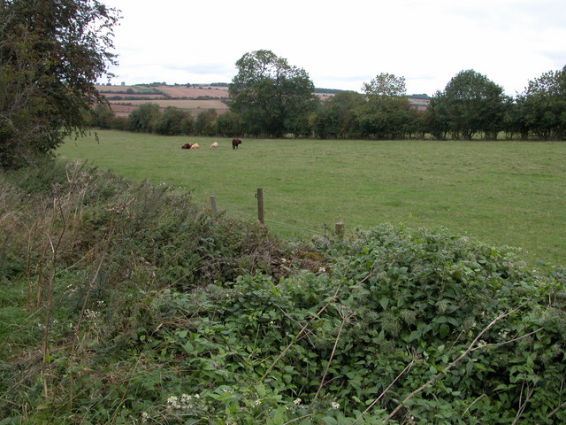
The village of Andoversford is nestled in the heart of the Cotswolds, an area known for its picturesque landscapes and charming rural character. It is surrounded by rolling hills, green fields, and a network of footpaths and bridleways, making it an ideal location for outdoor enthusiasts and nature lovers.

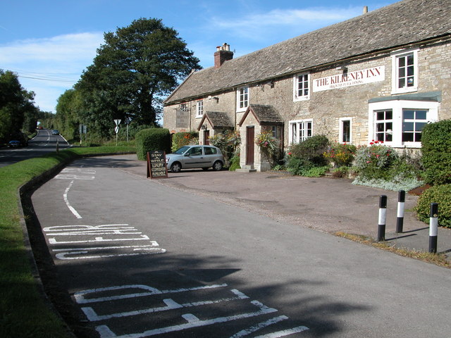
Despite its relatively small size, Andoversford offers a range of amenities and services to its residents and visitors. These include a primary school, a village hall, a post office, a pub, and a few small shops. The village is also home to a popular equestrian center, attracting horse riders from the surrounding areas.

Andoversford is well-connected to major road networks, with the A436 passing through the village, providing easy access to nearby towns and cities. The village is also served by regular bus services, connecting it to Cheltenham, Cirencester, and other neighboring settlements.

The parish has a rich history, with evidence of human settlement dating back to the Roman period. In more recent times, Andoversford was an important stop on the stagecoach route between London and Gloucester. Today, it retains much of its historical charm, with a mix of traditional Cotswold stone buildings and newer developments.

If you have any feedback on the listing, please let us know in the comments section below.
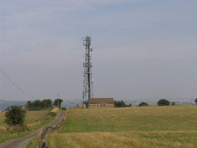
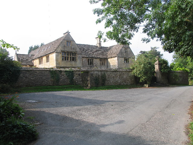
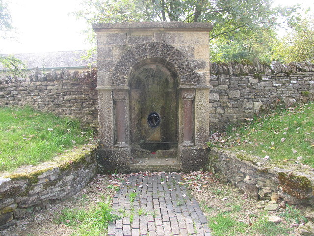
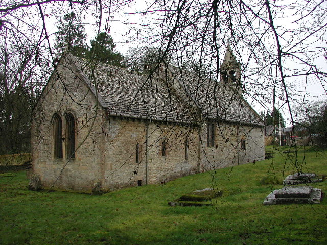
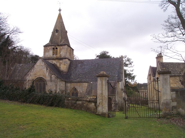
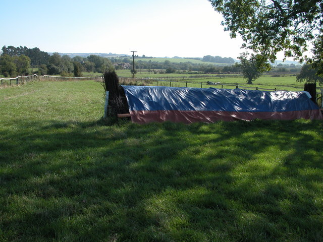
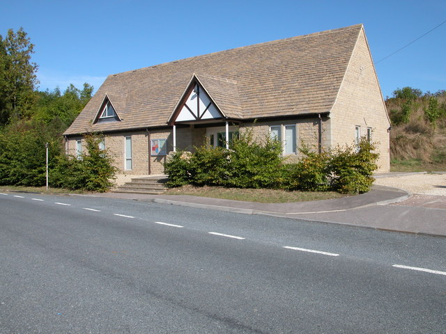
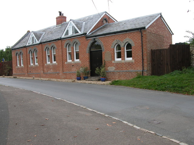
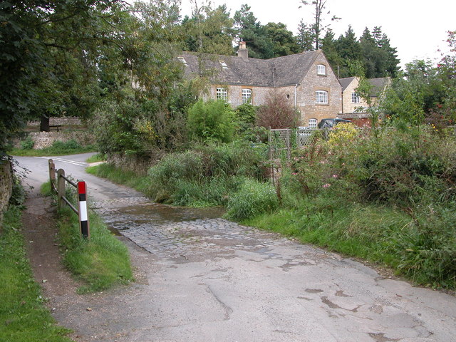
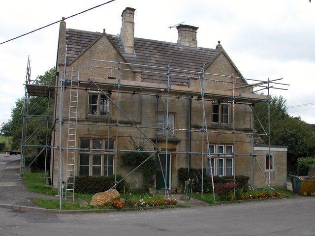
Andoversford Images

Images are sourced within 2km of 51.873432/-1.9725 or Grid Reference SP0119. Thanks to Geograph Open Source API. All images are credited.

Communication Mast, St Paul's Epistle Sited near the summit of St.Paul's Epistle this communications mast overlooks the A436 and much lower down in the valley the A40.
Communication Mast, St Paul's Epistle
Sited near the summit of St.Paul's Epistle this communications mast overlooks the A436 and much lower down in the valley the A40.
A436 at Kilkenny The A436 runs across this square east to west and carries a heavy volume of traffic heading for the M5 from the A40, avoiding Cheltenham, on a narrow A road.
A436 at Kilkenny
The A436 runs across this square east to west and carries a heavy volume of traffic heading for the M5 from the A40, avoiding Cheltenham, on a narrow A road.
The Manor House, Upper Dowdeswell Situated on a dead end lane off a quiet cross country lane, the hamlet of Upper Dowdeswell and its old manor house sees few visitors.
The Manor House, Upper Dowdeswell
Situated on a dead end lane off a quiet cross country lane, the hamlet of Upper Dowdeswell and its old manor house sees few visitors.
Public Water Tap, Upper Dowdeswell This water tap is housed in a purpose built alcove in the walls of the Manor House.
Public Water Tap, Upper Dowdeswell
This water tap is housed in a purpose built alcove in the walls of the Manor House.
Shipton Oliffe (Glos) St Oswald's Church
Dowdeswell Church Viewed from the north.
Dowdeswell Church
Viewed from the north.
Gallops at Sandywell Park Showground
The Kilkenny Inn, Kilkenny The inn is well situated at the junction of four roads.
The Kilkenny Inn, Kilkenny
The inn is well situated at the junction of four roads.
Foxcote Foxcote is a small village to the south-east of Kilkenny.
Foxcote
Foxcote is a small village to the south-east of Kilkenny.
The Frogmill Hotel Popular Cotswold hotel near Andoversford. See: <span class="nowrap"><a title="http://www.infotel.co.uk/88102.htm" rel="nofollow ugc noopener" href="http://www.infotel.co.uk/88102.htm">Link</a><img style="margin-left:2px;" alt="External link" title="External link - shift click to open in new window" src="https://s1.geograph.org.uk/img/external.png" width="10" height="10"/></span>
The Frogmill Hotel
Popular Cotswold hotel near Andoversford. See: LinkExternal link
Andoversford Livestock Market Once many market towns had livestock markets, though over the years many have been closed and the sites redeveloped, including the large regional market at Gloucester.
Andoversford Livestock Market
Once many market towns had livestock markets, though over the years many have been closed and the sites redeveloped, including the large regional market at Gloucester.
Unnamed farm near Andoversford Farm buildings and newly built farmhouse to the east of Andoversford at SP029190. This farm is not named on the OS map
Unnamed farm near Andoversford
Farm buildings and newly built farmhouse to the east of Andoversford at SP029190. This farm is not named on the OS map
Farmland to the north of Shipton Cattle in a field to the north of Shipton.
Farmland to the north of Shipton
Cattle in a field to the north of Shipton.
Church Hall, Andoversford Recently built Church Hall in the local Cotswold stone.
Church Hall, Andoversford
Recently built Church Hall in the local Cotswold stone.
Converted Methodist Chapel, Shipton The engraved stone to the right of the door is engraved 'PRIMITIVE METHODIST CHAPEL 1889'
Converted Methodist Chapel, Shipton
The engraved stone to the right of the door is engraved 'PRIMITIVE METHODIST CHAPEL 1889'
Ford in Shipton At the time the photograph was taken there was little water flowing across this ford in the village of Shipton.
Ford in Shipton
At the time the photograph was taken there was little water flowing across this ford in the village of Shipton.
Former police station, Andoversford Engraved over the door are the words 'COUNTY POLICE'
Former police station, Andoversford
Engraved over the door are the words 'COUNTY POLICE'
Shipton Telephone box and bus stop in Shipton.
Shipton
Telephone box and bus stop in Shipton.
Show me another place!

Andoversford is located at Grid Ref: SP0119 (Lat: 51.873432, Lng: -1.9725)

Administrative County: Gloucestershire

District: Cotswold

Police Authority: Gloucestershire

What 3 Words

///bashful.button.hairspray. Near Charlton Kings, Gloucestershire

Related Wikis

Nearby Amenities

Located within 500m of 51.873432,-1.9725
Andoversford
Is In: Gloucestershire, England, UK
Place: village
Source: NPE
Lat/Long: 51.875745/-1.9664454
Shop: convenience
Lat/Long: 51.8769224/-1.9690685
Bus Stop
Cattle Market
Bus: yes
Fixme: check new name
Naptan AtcoCode: 1600GL124
Naptan Bearing: NW
Naptan CommonName: Cattle Market
Naptan NaptanCode: glogadwj
Naptan Street: Station Rd
Naptan Verified: no
Public Transport: platform
Source: naptan_import
Lat/Long: 51.8766313/-1.9676347
Bus Stop
Templefields & Crossfields
Bus: yes
Naptan AtcoCode: 1600GLC557
Naptan Bearing: SW
Naptan CommonName: Templefields & Crossfields
Naptan Indicator: Opp
Naptan NaptanCode: glogadgt
Naptan Street: Gloucester Rd
Naptan Verified: no
Public Transport: platform
Source: naptan_import
Lat/Long: 51.8720736/-1.9709788
Bus Stop
Templefields & Crossfields
Bus: yes
Naptan AtcoCode: 1600GLC558
Naptan Bearing: NE
Naptan CommonName: Templefields & Crossfields
Naptan NaptanCode: glogadgw
Naptan Street: Gloucester Rd
Naptan Verified: no
Public Transport: platform
Source: naptan_import
Lat/Long: 51.8722264/-1.9708044
Bus Stop
Station Rd
Bus: yes
Naptan AtcoCode: 1600GLC583
Naptan Bearing: W
Naptan CommonName: Station Rd
Naptan Indicator: Opp
Naptan NaptanCode: glogagat
Naptan Street: Gloucester Rd
Naptan Verified: no
Public Transport: platform
Source: naptan_import
Lat/Long: 51.8748146/-1.9660963
Bus Stop
Station Rd
Bus: yes
Naptan AtcoCode: 1600GLC584
Naptan Bearing: E
Naptan CommonName: Station Rd
Naptan NaptanCode: glogagda
Naptan Street: Gloucester Rd
Naptan Verified: no
Public Transport: platform
Source: naptan_import
Lat/Long: 51.8748955/-1.966009
Barrier: stile
Lat/Long: 51.8730149/-1.9780232
Barrier: stile
Lat/Long: 51.8730104/-1.9784955
Barrier: stile
Lat/Long: 51.8732678/-1.975051
Barrier: stile
Lat/Long: 51.8753193/-1.9699226
Dales
Shop: convenience
Lat/Long: 51.8767758/-1.968156
Post Office
Andoversford Post Office
Addr City: Cheltenham
Addr Country: GB
Addr Postcode: GL54 4HP
Addr Street: Station Road
Addr Village: Andoversford
Brand: Post Office
Brand Wikidata: Q1783168
Opening Hours: Mo-Fr 09:00-17:30; Sa 09:00-12:30
Ref Pol Id: 13002
Website: https://www.postoffice.co.uk/branch-finder/3295230/andoversford
Lat/Long: 51.8776317/-1.9702534
Barrier: stile
Foot: yes
Lat/Long: 51.8750169/-1.9775431
Telephone
Operator: BT
Lat/Long: 51.8768279/-1.9677356
Generator Source: solar
Power: generator
Lat/Long: 51.8775474/-1.9703628
HE Ref: 1089352
Historic: boundary_stone
Listed Status: Grade II
Lat/Long: 51.8737309/-1.9677749
Ossage
Fixme: farm?
Place: locality
Source: OS_OpenData_StreetView
Lat/Long: 51.8747738/-1.9762597
Telephone
Defibrillator
Booth: K6
Covered: booth
Defibrillator Location: inside red phone box by the playing field, Andoversford
Emergency: defibrillator
Lat/Long: 51.8722869/-1.9707354
Stop
Direction: forward
Lat/Long: 51.8704559/-1.9776353
Stop
Direction: backward
Lat/Long: 51.8703739/-1.977558
The data included in this document is from www.openstreetmap.org. The data is made available under ODbL.

Have you been to Andoversford?

Leave your review of Andoversford below (or comments, questions and feedback).