Sandywell Park

Downs, Moorland in Gloucestershire Cotswold

England

Sandywell Park

Communication Mast, St Paul's Epistle Sited near the summit of St.Paul's Epistle this communications mast overlooks the A436 and much lower down in the valley the A40.
Communication Mast, St Paul's Epistle Credit: Terry Jacombs

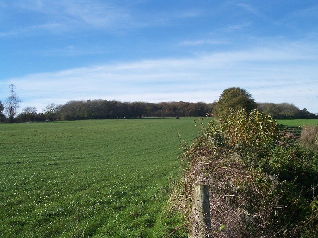
Sandywell Park is a picturesque estate located in Gloucestershire, England. Situated amidst the stunning Downs and Moorland landscapes, this park offers visitors a serene and idyllic experience. The park is spread over a vast area, encompassing rolling hills, lush greenery, and breathtaking views of the surrounding countryside.

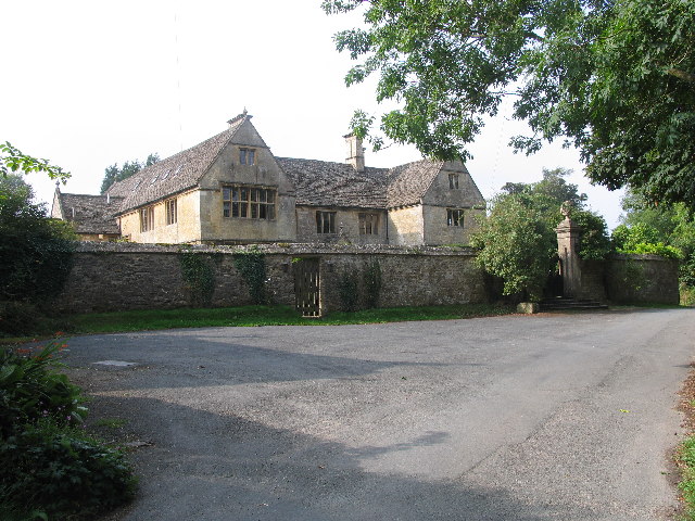
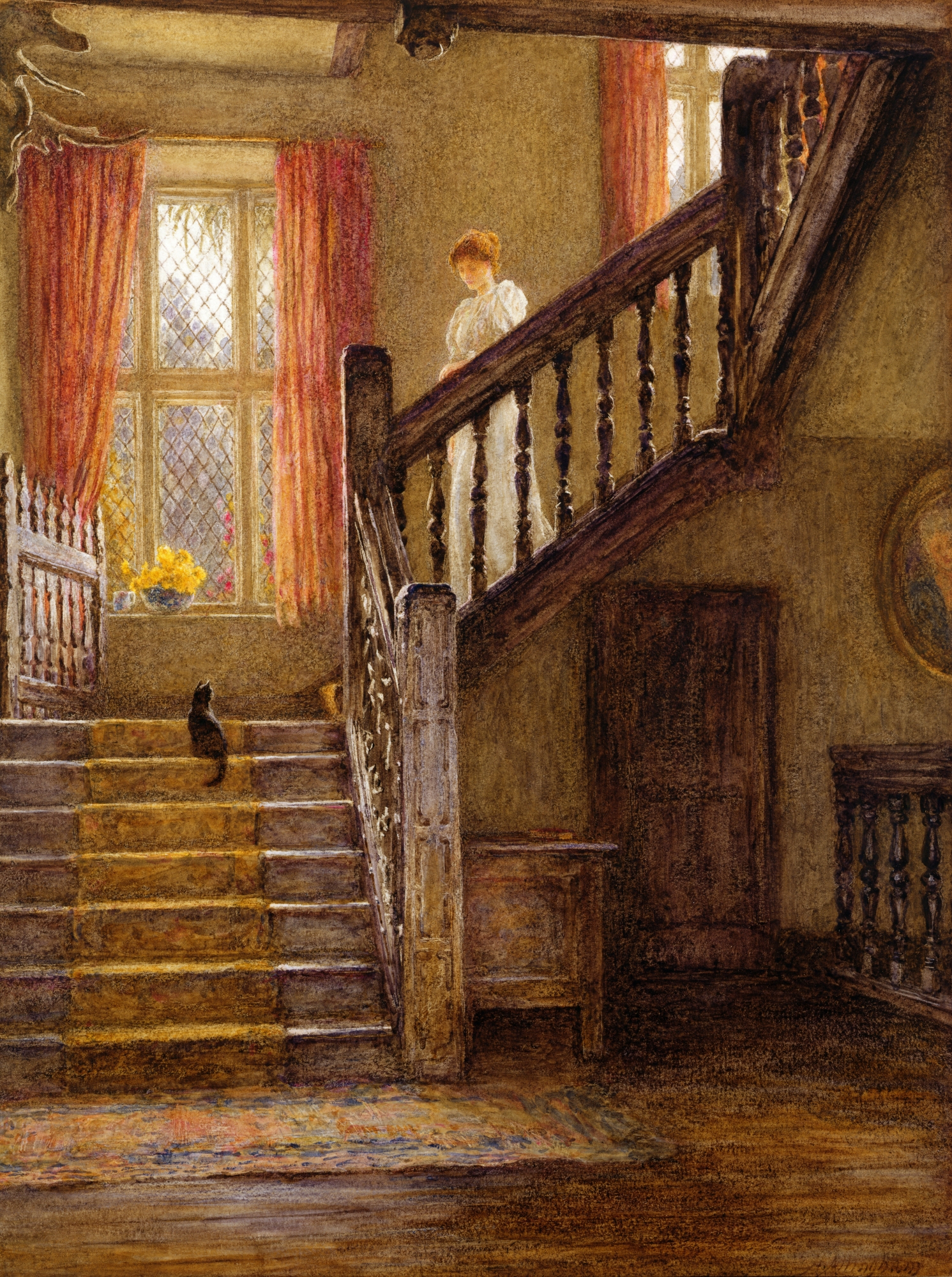
One of the key features of Sandywell Park is its rich history. Dating back to the 17th century, the park has witnessed the passage of time and retains its traditional charm. The park is home to a grand manor house, which serves as a testament to the architectural brilliance of the past. The estate has been meticulously maintained, preserving its original character and providing visitors with a glimpse into the region's heritage.

Visitors to Sandywell Park can enjoy a range of activities that cater to different interests. The park offers numerous walking trails, allowing nature enthusiasts to explore the diverse flora and fauna of the Downs and Moorland. The expansive grounds also provide ample space for outdoor sports and recreational activities such as picnicking, horseback riding, and bird-watching.

For those seeking a tranquil retreat, Sandywell Park offers luxurious accommodations. The manor house has been converted into a boutique hotel, offering guests a unique blend of historic charm and modern amenities. The estate also features well-manicured gardens, providing a serene environment for relaxation and unwinding.

Overall, Sandywell Park is a hidden gem in Gloucestershire, offering visitors a chance to immerse themselves in the beauty of nature while experiencing the region's rich history. Whether exploring the trails, indulging in outdoor activities, or simply enjoying the peaceful surroundings, Sandywell Park is a must-visit destination for anyone seeking a tranquil escape.

If you have any feedback on the listing, please let us know in the comments section below.

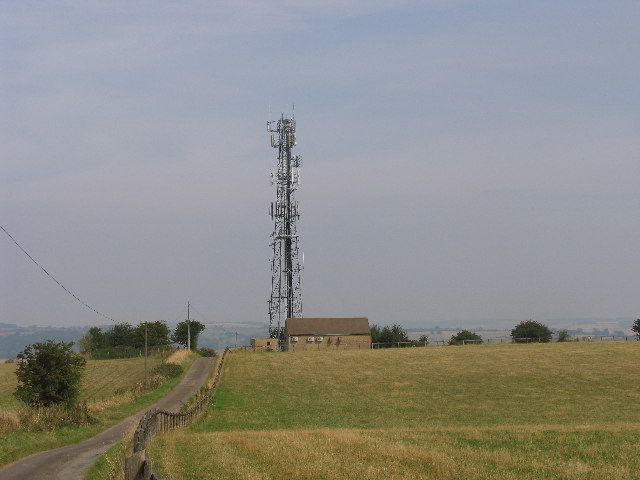
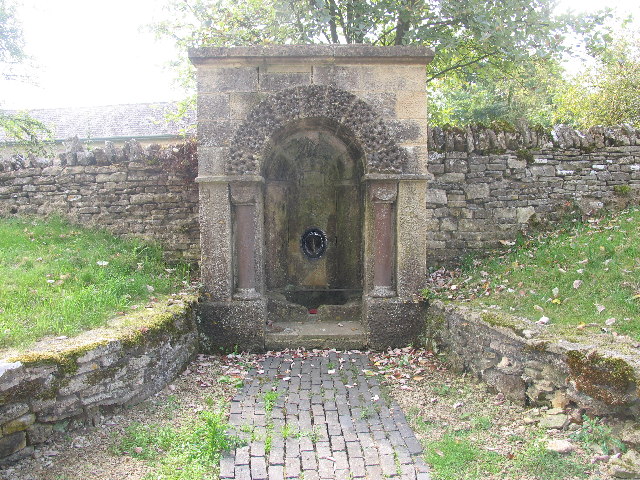
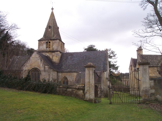
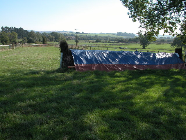
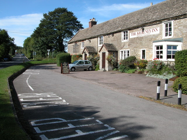
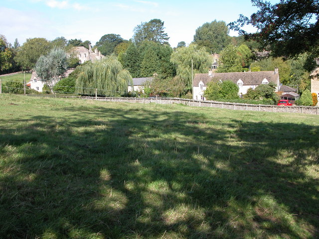
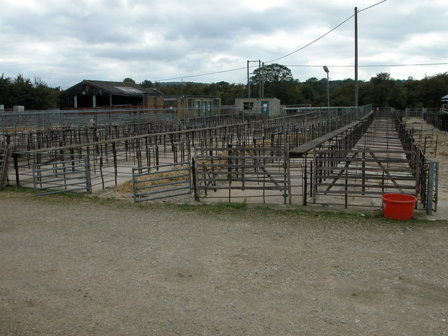
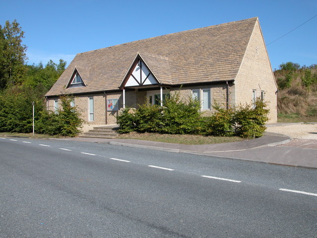
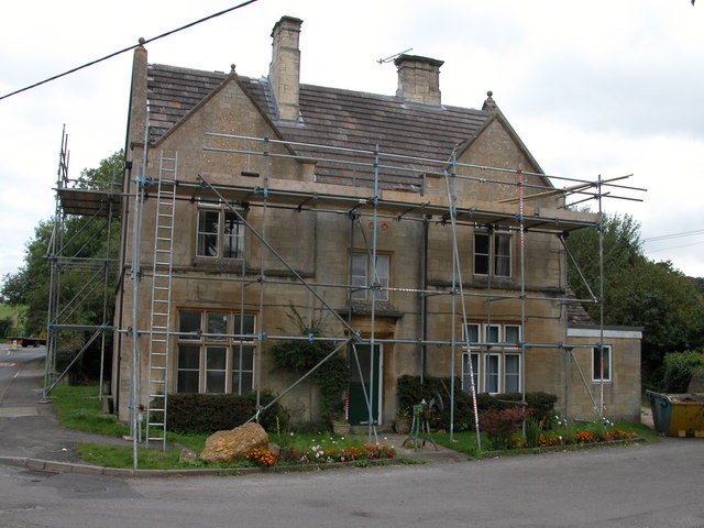
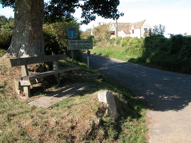
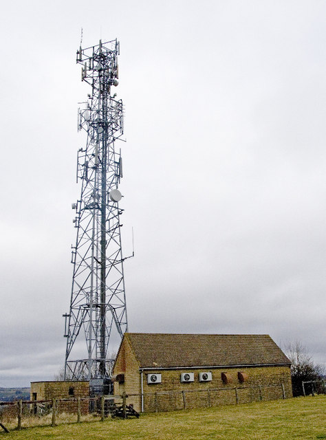
Sandywell Park Images

Images are sourced within 2km of 51.878511/-1.9845694 or Grid Reference SP0119. Thanks to Geograph Open Source API. All images are credited.

Communication Mast, St Paul's Epistle Sited near the summit of St.Paul's Epistle this communications mast overlooks the A436 and much lower down in the valley the A40.
Communication Mast, St Paul's Epistle
Sited near the summit of St.Paul's Epistle this communications mast overlooks the A436 and much lower down in the valley the A40.
A436 at Kilkenny The A436 runs across this square east to west and carries a heavy volume of traffic heading for the M5 from the A40, avoiding Cheltenham, on a narrow A road.
A436 at Kilkenny
The A436 runs across this square east to west and carries a heavy volume of traffic heading for the M5 from the A40, avoiding Cheltenham, on a narrow A road.
The Manor House, Upper Dowdeswell Situated on a dead end lane off a quiet cross country lane, the hamlet of Upper Dowdeswell and its old manor house sees few visitors.
The Manor House, Upper Dowdeswell
Situated on a dead end lane off a quiet cross country lane, the hamlet of Upper Dowdeswell and its old manor house sees few visitors.
Public Water Tap, Upper Dowdeswell This water tap is housed in a purpose built alcove in the walls of the Manor House.
Public Water Tap, Upper Dowdeswell
This water tap is housed in a purpose built alcove in the walls of the Manor House.
Dowdeswell Church Viewed from the north.
Dowdeswell Church
Viewed from the north.
Gallops at Sandywell Park Showground
The Kilkenny Inn, Kilkenny The inn is well situated at the junction of four roads.
The Kilkenny Inn, Kilkenny
The inn is well situated at the junction of four roads.
Foxcote Foxcote is a small village to the south-east of Kilkenny.
Foxcote
Foxcote is a small village to the south-east of Kilkenny.
Andoversford Livestock Market Once many market towns had livestock markets, though over the years many have been closed and the sites redeveloped, including the large regional market at Gloucester.
Andoversford Livestock Market
Once many market towns had livestock markets, though over the years many have been closed and the sites redeveloped, including the large regional market at Gloucester.
Church Hall, Andoversford Recently built Church Hall in the local Cotswold stone.
Church Hall, Andoversford
Recently built Church Hall in the local Cotswold stone.
Former police station, Andoversford Engraved over the door are the words 'COUNTY POLICE'
Former police station, Andoversford
Engraved over the door are the words 'COUNTY POLICE'
Upper Dowdeswell Seat under a tree at the road junction for Upper Dowdeswell.
Upper Dowdeswell
Seat under a tree at the road junction for Upper Dowdeswell.
Andoversford Relay Transmitter The transmitter and mast are operated by Arqiva, part of a multinational communications conglomerate with Australian roots, Macquaries.  The site was originally built for the Independent Broadcasting Authority and is an analogue TV relay station for Ridge Hill transmitter nr Much Marcle.
Andoversford Relay Transmitter
The transmitter and mast are operated by Arqiva, part of a multinational communications conglomerate with Australian roots, Macquaries. The site was originally built for the Independent Broadcasting Authority and is an analogue TV relay station for Ridge Hill transmitter nr Much Marcle.
Horse jumps at Sandywell Park The Cotswolds is racehorse training country.
Horse jumps at Sandywell Park
The Cotswolds is racehorse training country.
Snow landscape at sundown
Road climbing towards St Paul's Epistle
Entrance to Kilkenny viewpoint
Junction with the A40. Where the red paint is in the road is where the railway bridge used to be, demolished in the 1960s, and the A40 came under it and through the village.
Junction with the A40.
Where the red paint is in the road is where the railway bridge used to be, demolished in the 1960s, and the A40 came under it and through the village.
Show me another place!

Sandywell Park is located at Grid Ref: SP0119 (Lat: 51.878511, Lng: -1.9845694)

Administrative County: Gloucestershire

District: Cotswold

Police Authority: Gloucestershire

What 3 Words

///tricks.struck.incursion. Near Charlton Kings, Gloucestershire

Related Wikis

Sandywell Park

Sandywell Park is an Jacobean Georgian manor house, five miles east of Cheltenham in Gloucestershire, England. Built in 1704 by Henry Brett, it was extended...

Whittington Court

Whittington Court is an Elizabethan manor house, five miles east of Cheltenham in Gloucestershire, England. Adjacent to the house is the Whittington parish...

Andoversford Junction railway station

Andoversford Junction railway station was in Gloucestershire on the Great Western Railway's Banbury and Cheltenham Direct Railway that opened in 1881....

Whittington, Gloucestershire

Whittington, Gloucestershire is a village and rural parish in the county of Gloucestershire in England, United Kingdom. == Location == Whittington, Gloucestershire...

Dowdeswell

Dowdeswell is a civil parish in the ward of Chedworth, Cotswold, in the ceremonial county of Gloucestershire, England. It is separated into Upper and Lower...

Andoversford and Dowdeswell railway station

Andoversford and Dowdeswell railway station was on the Midland and South Western Junction Railway in Gloucestershire. The station opened to passengers...

Arle Grove

Arle Grove (grid reference SO995215) is a 5-hectare (12-acre) nature reserve in Gloucestershire. The site is listed in the 'Cotswold District' Local Plan...

Dowdeswell Reservoir

Dowdeswell Reservoir and former water treatment works lie below the parish of Dowdeswell in Gloucestershire. They were originally built by Cheltenham...

Nearby Amenities

Located within 500m of 51.878511,-1.9845694
Barrier: stile
Foot: yes
Lat/Long: 51.8747864/-1.986505
Barrier: stile
Foot: yes
Lat/Long: 51.8764626/-1.9818831
Barrier: stile
Foot: yes
Lat/Long: 51.8765121/-1.98919
Barrier: stile
Foot: yes
Lat/Long: 51.8769169/-1.9859491
Barrier: kissing_gate
Foot: yes
Lat/Long: 51.8765206/-1.9893409
Barrier: stile
Foot: yes
Lat/Long: 51.8795966/-1.9890454
HE Ref: 1089391
Description: SOUTH GATES AND GATE PIERS TO SANDYWELL PARK
Historic: yes
Listed Status: Grade II
Lat/Long: 51.8776464/-1.9828396
The data included in this document is from www.openstreetmap.org. The data is made available under ODbL.

Have you been to Sandywell Park?

Leave your review of Sandywell Park below (or comments, questions and feedback).