Acaster Selby
Civil Parish in Yorkshire Selby
England
Acaster Selby
Acaster Selby is a civil parish located in the Selby district of the county of Yorkshire, England. It is situated on the eastern bank of the River Ouse, approximately 8 miles south of the town of York. Acaster Selby covers an area of around 5 square miles and has a population of approximately 300 residents.
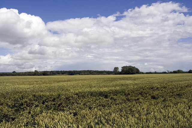
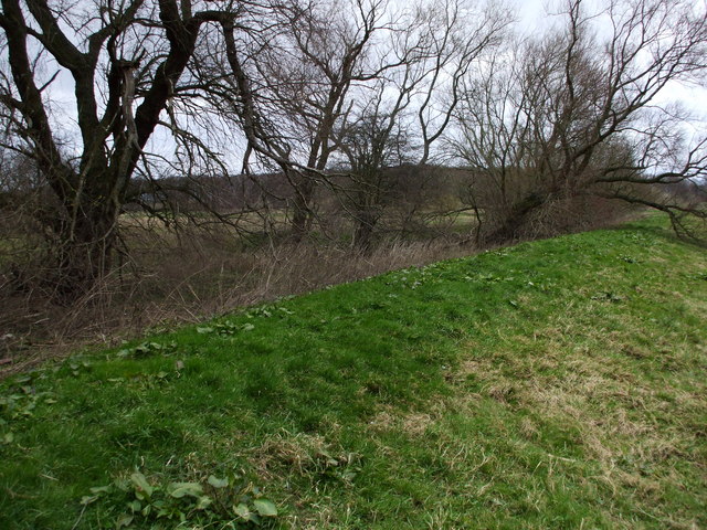
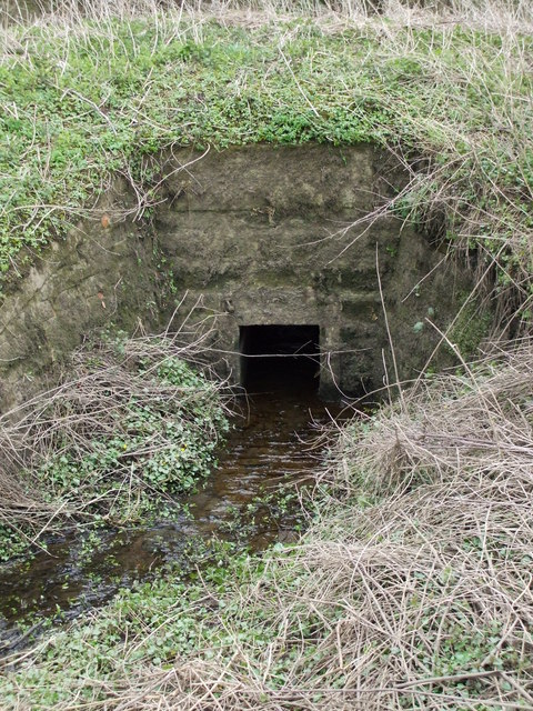
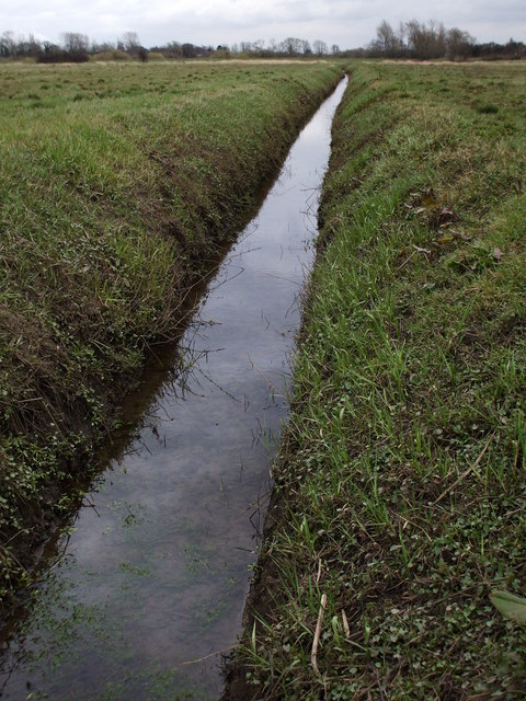
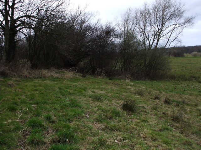
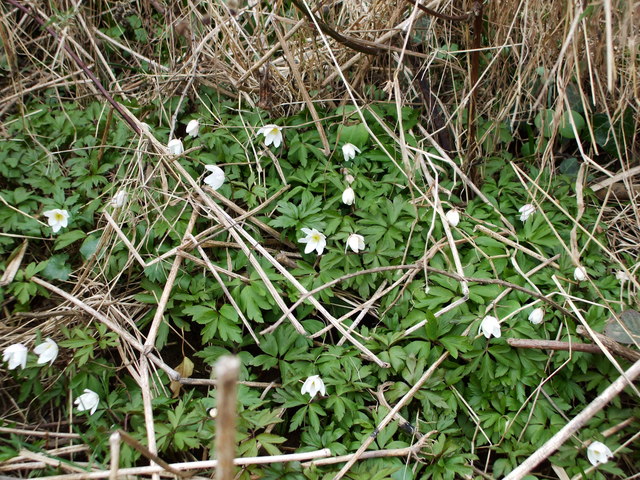
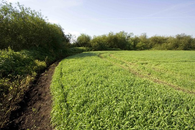
The parish is characterized by its rural setting, with rolling countryside and picturesque landscapes. It is a predominantly agricultural area, with farming being a significant economic activity. The fertile land along the riverbanks supports the growth of crops such as wheat, barley, and rapeseed.
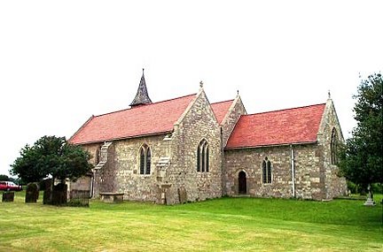
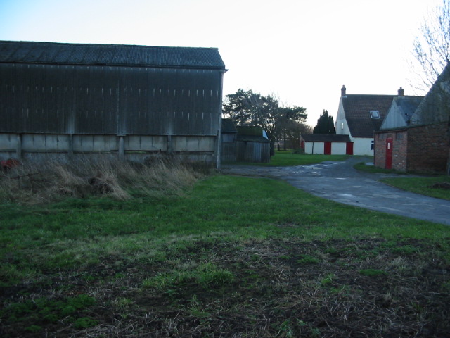
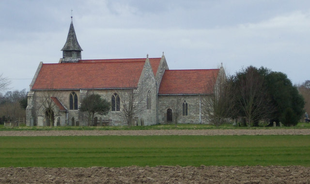
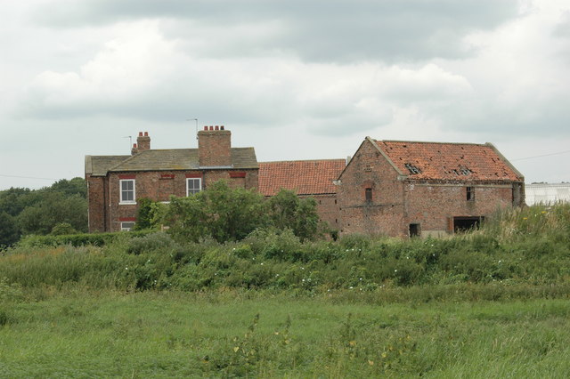
Acaster Selby is known for its rich history, with evidence of human settlement in the area dating back to Roman times. The village itself has a quaint and charming atmosphere, with a small cluster of old stone houses and a historic church, St. John the Evangelist.
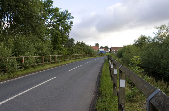
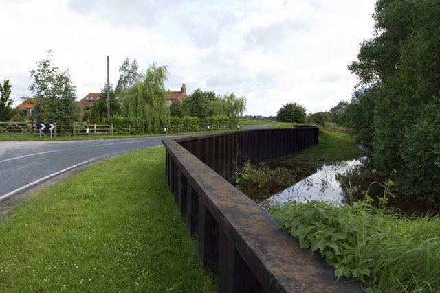
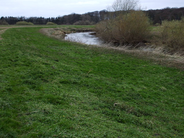
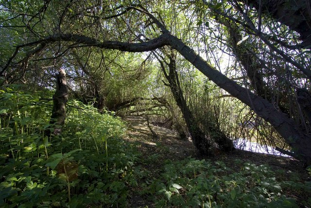
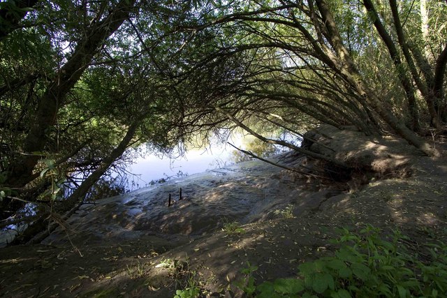
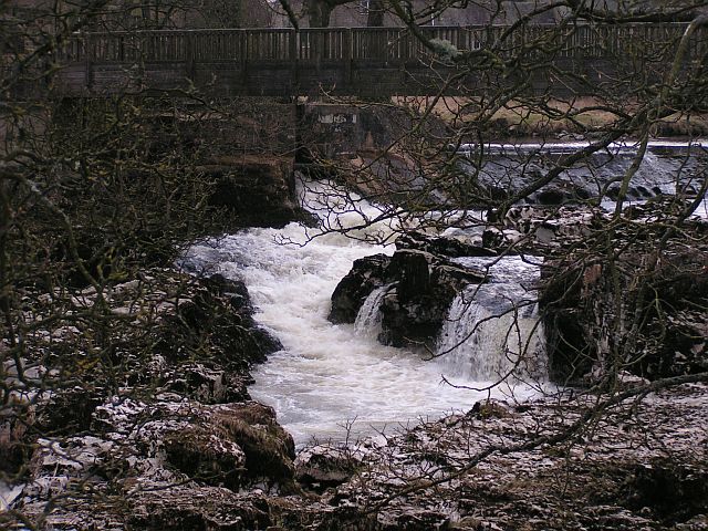
The parish is surrounded by natural beauty, with the River Ouse offering opportunities for boating, fishing, and riverside walks. The nearby Acaster Malbis village provides amenities such as a pub, a primary school, and a golf course.
Overall, Acaster Selby is a peaceful and idyllic rural parish, providing a serene and tranquil environment for its residents. Its historical significance, natural beauty, and agricultural heritage make it a desirable place to live for those seeking a slower pace of life in the English countryside.
If you have any feedback on the listing, please let us know in the comments section below.
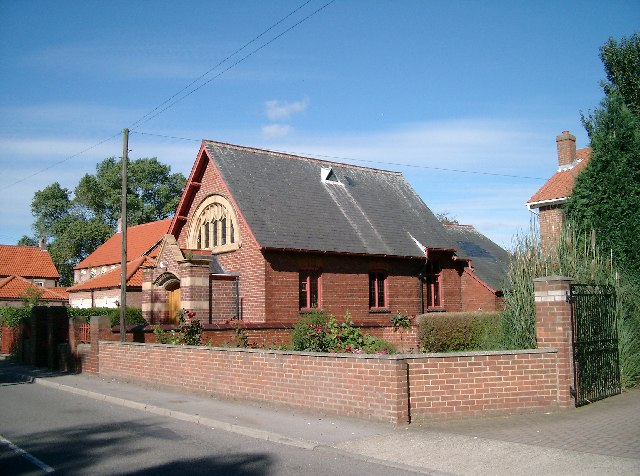
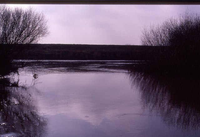
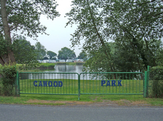
Acaster Selby Images
Images are sourced within 2km of 53.855636/-1.137691 or Grid Reference SE5640. Thanks to Geograph Open Source API. All images are credited.
Acaster Selby is located at Grid Ref: SE5640 (Lat: 53.855636, Lng: -1.137691)
Division: West Riding
Administrative County: North Yorkshire
District: Selby
Police Authority: North Yorkshire
What 3 Words
///binds.tilting.paves. Near Cawood, North Yorkshire
Nearby Locations
Related Wikis
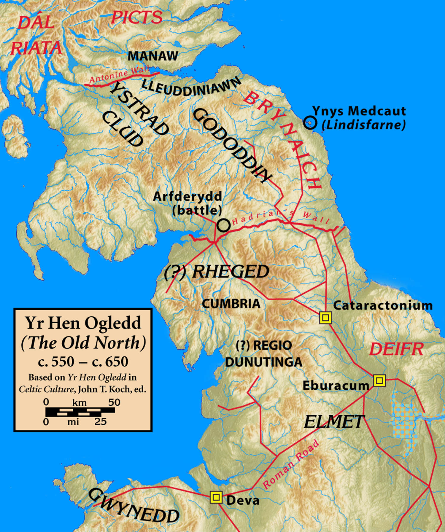
Elmet
Elmet (Welsh: Elfed), sometimes Elmed or Elmete, was an independent Brittonic Celtic Cumbric speaking kingdom between about the 4th century and mid 7th...

West Riding of Yorkshire
The West Riding of Yorkshire is one of three historic subdivisions of Yorkshire, England. From 1889 to 1974 the administrative county County of York, West...

Nun Appleton Priory
Nun Appleton Priory was a priory near Appleton Roebuck, North Yorkshire, England. It was founded as a nunnery c. 1150, by Eustace de Merch and his wife...
Acaster Selby
Acaster Selby is a village in North Yorkshire, England. It is part of the joint civil parish with Appleton Roebuck (where the population is now included...
River Wharfe
The River Wharfe ( WHORF) is a river in Yorkshire, England originating within the Yorkshire Dales National Park. For much of its middle course it is the...

Ryther cum Ossendyke
Ryther cum Ossendyke is a civil parish 6 miles (9.7 km) from Tadcaster and 6 miles (9.7 km) from Selby, North Yorkshire, England. It includes the village...

All Saints' Church, Ryther
All Saints' Church is the parish church of Ryther cum Ossendyke, a village north-west of Selby in Yorkshire, in England. The church was originally built...

Bishopthorpe Rural District
Bishopthorpe was a rural district in the West Riding of Yorkshire from 1894 to 1937. It was formed under the Local Government Act 1894 from that part of...
Related Videos

Cawood Holiday Park For New Year #travel #newyear #camping #caravaning #happy newyear py
We tried something new and went to this lovely site for new year, Possibly our favourite site at the moment, Thankyou for ...
Our break away at Cawood Park and a tour around the site!
Don't forget to like and subscribe. And follow us on all socials such as Facebook Instigram and Twitter. Thanks for watching!

Nearby Amenities
Located within 500m of 53.855636,-1.137691Have you been to Acaster Selby?
Leave your review of Acaster Selby below (or comments, questions and feedback).